Parking
Use the Rim Village and Crater Lake Lodge parking area, then follow the paved promenade behind the Lodge to the signed trailhead at the east end of the village. A park entrance pass is required.

#1 of 34 trails in Crater Lake
Crater Lake National Park, OR
A steady climb earns broad views from Crater Lake’s rim.
Overview
Map & elevation
Plan your hike

The highest, rockiest slopes around here are a summer buffet for grizzly bears.
Crater Lake Tour Guide
Parkwolf is a GPS audio tour guide for Crater Lake National Park. As you drive, it chimes in with what’s ahead: hidden gems, upcoming stops, history, geology, and wildlife, right through your car’s speakers.
See the Crater Lake audio tourRecorded for this trailhead
Crater Lake Lodge and Garfield Peak“You're approaching Crater Lake Lodge, where the Great Hall and lake-facing porch are worth a visit even without an overnight stay.”
Plays as you drive up to this trailhead in the Parkwolf Crater Lake Tour Guide.
More stories near here in the app
“Fantastic app with many points of information… It’s great to just turn on while you’re driving and it gives you an audio tour of the national Park. We love it!!!!”


Trail guide
Garfield Peak is a 3.6-mile out-and-back from Rim Village to a summit on Crater Lake’s south rim. The visitor route includes the paved promenade behind Crater Lake Lodge, then the signed dirt trail; expect about 1,010 feet of gain. Allow around 2½ hours for the climb, summit stop and return. This is a good choice if you want high, open caldera views in a half-day hike. The distance sounds modest, but the steady uphill grade, elevation and loose rock make it more demanding than a stroll. Start early for a cooler climb and favorable light on the lake.
Park in the Rim Village and Lodge area, then follow the paved promenade behind the Lodge toward the east end of the village and the Garfield Peak sign. The walk continues east above the lake before turning north about half a mile in and starting the main climb. Retrace the same route to return; this is not a loop. A park entrance pass is required. Rim Village has restrooms and a nearby café with grab-and-go sandwiches, salads and snacks when the seasonal concession is operating.
The unpaved trail begins among trees and soon opens into a meadow. Short switchbacks climb across Castle Crest, a jagged ridge of volcanic breccia, and the route alternates between exposed slopes and pockets of trees. The path contours above the caldera, then turns up the northwest ridge and climbs toward the crest. Views of the lake and valleys appear before the summit, with craggy peaks and scree slopes close beside the tread. The upper climb passes scattered whitebark pines and subalpine fir; loose gravel and rock make the descent slower and more careful than the way up.
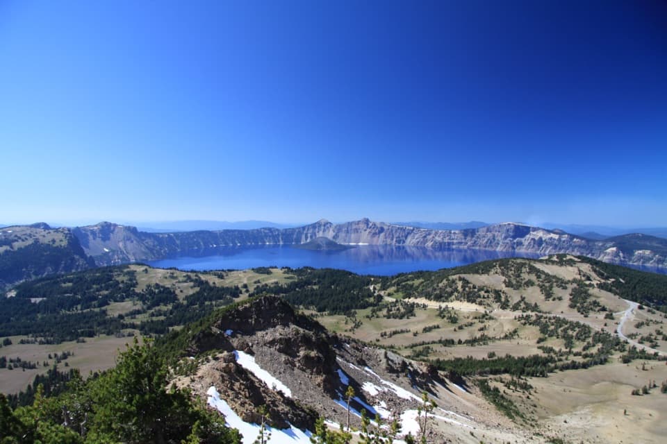
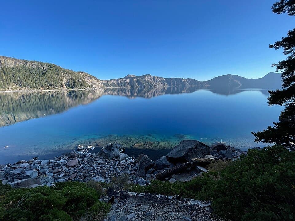
At the top, the view opens in every direction. Look down toward Phantom Ship and Chaski Bay below Dutton Cliff, then east along the ridge toward Applegate Peak and Dyar Rock. Across the lake, Wizard Island sits below Llao Rock, The Watchman and Hillman Peak; on a clear day, farther Cascade summits rise beyond the rim. From a safe spot at the summit, a wide frame toward Wizard Island takes in the blue lake and the broken caldera rim; turn east for Phantom Ship and the nearer cliff faces.
Castle Crest is made of volcanic breccia, rock fragments that partly fused while hot and formed before the eruption that created the caldera. The trail crosses this rough ridge before reaching the higher crest, where the slope drops toward the lake. The ridge’s fused rock fragments formed before the eruption that created the caldera.
Mountain hemlock and Shasta red fir dominate the lower woods; whitebark pine and subalpine fir appear higher up. In the short growing season, the meadow and trail edges can carry lupine, spreading phlox, rabbitbrush and arnica. Rocky talus is habitat for American pikas and yellow-bellied marmots. They are possible wildlife to look for, not a promised sighting; give the animals room and stay on the trail.
Garfield Peak Trail was built between 1917 and 1931 as part of Rim Village’s planned visitor landscape, and it still follows its 1931 alignment. The route was laid out to reveal the lake in stages through changing vegetation and at dry-laid stone walls, rather than sending hikers straight to the high point.
Wildlife
 16 sightingsBlack BearMost seen around 8 PMSighting map
 178 sightingsMule DeerMost seen around 7 PMSighting map
 26 sightingsCommon RavenMost seen around 9 AMSighting map
 33 sightingsTurkey VultureMost seen around 1 PMSighting map
 47 sightingsRed-tailed HawkMost seen around 11 AMSighting map
 71 sightingsCascades FrogMost seen around 5 PMSighting map
Sighting maps show where each species has been reported across Crater Lake. Wildlife moves, so no sighting is guaranteed.
Keep exploring
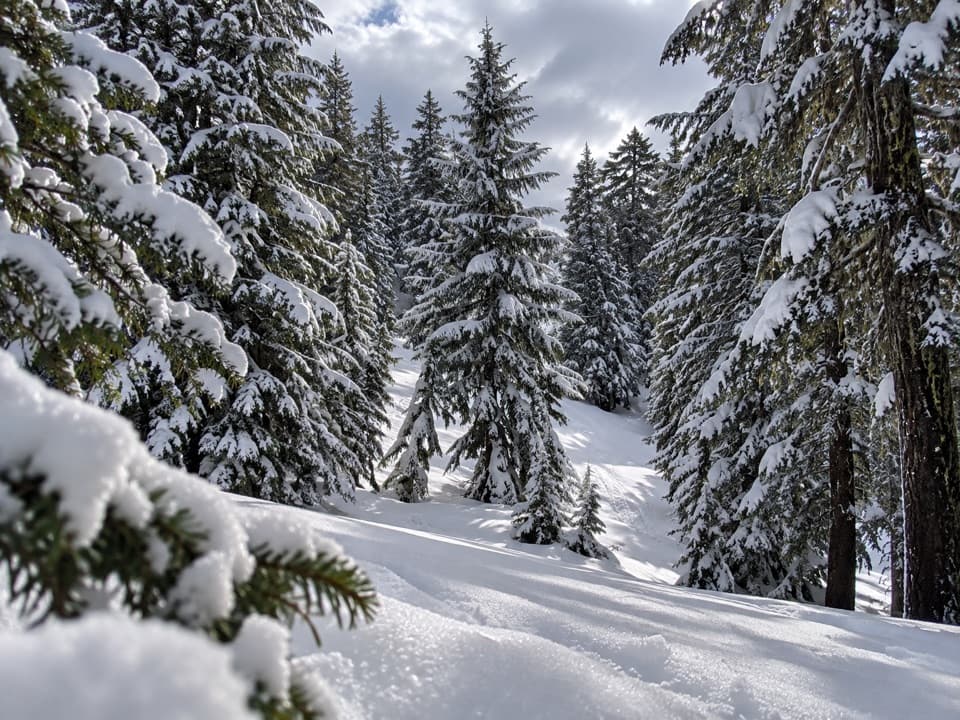 ModerateHemlock Loop1.3 mi · 1.5 hr · 0.3 mi awayA marked winter loop through hemlock forest with Garfield Peak views.
 ModerateDutton Creek Trail4.6 mi · 3 hr · 0.3 mi awayA steep forest descent to Dutton Creek and the Pacific Crest Trail.
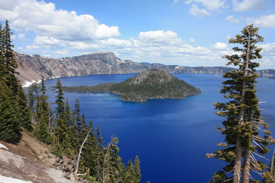 EasyDiscovery Point Trail2 mi · 1 hr · 0.4 mi awayWizard Island keeps appearing through the wind-shaped rim forest.
 ModerateDutton/Lightning Loop12.9 mi · 7 hr · 0.4 mi awayA long forest loop earns its lake view at the west rim.
 ModerateRaven Trail2 mi · 2.5 hr · 1 mi awayA marked winter climb to the caldera rim.
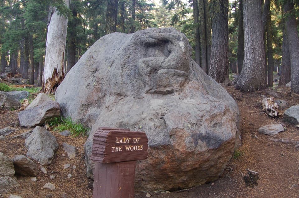 EasyLady of the Woods Trail0.7 mi · 36 min · 1 mi awayA short history loop to a weathered forest carving.
 ChallengingRim Trail16.2 mi · 9.5 hr · 1.3 mi awayWizard Island shifts position as you follow the western rim.
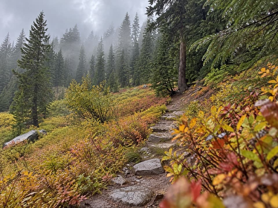 EasyCastle Crest Trail0.5 mi · 36 min · 1.4 mi awayA short loop around a spring-fed wildflower meadow.
 Lodging · At the trailheadCrater Lake LodgeA historic rim lodge with a lake-view porch and big stone fireplace.
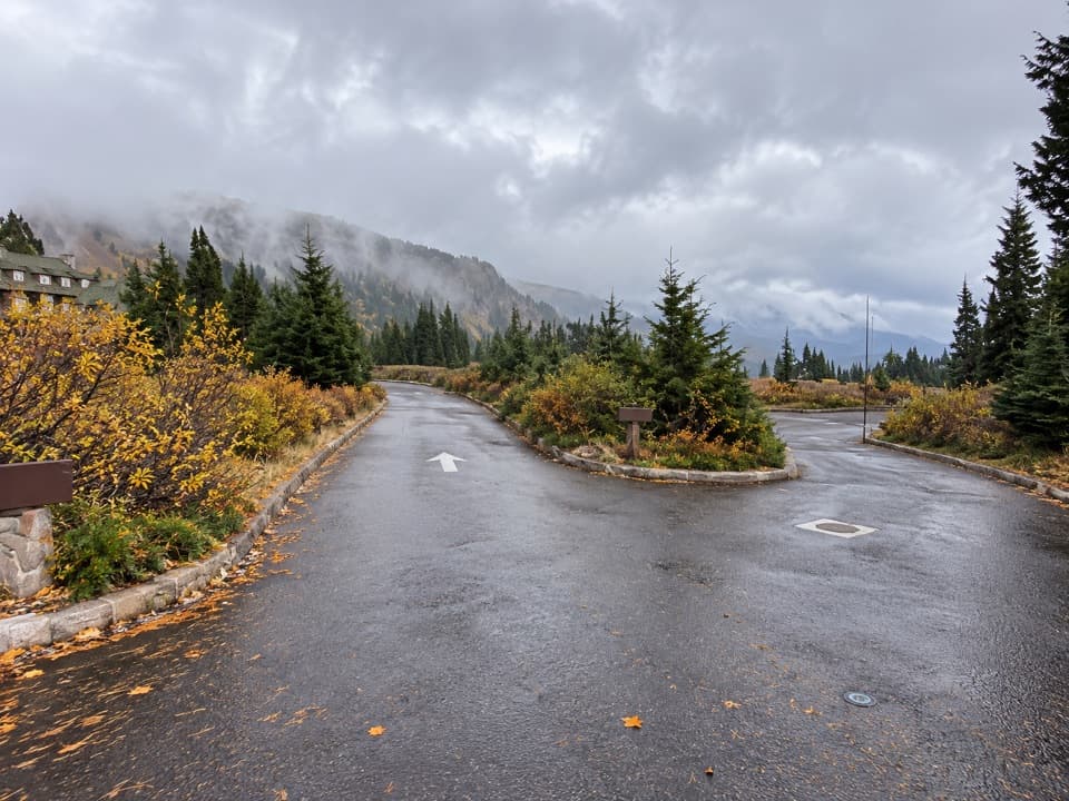 Picnic area · 0.1 mi awayRim Village Picnic AreaA shaded picnic stop just south of the lodge.
 Sight · 0.2 mi awaySinnott Memorial OverlookA stone shelter frames the lake and explains the caldera.
 Visitor center · 0.2 mi awayRim Visitor CenterStart here for ranger help, passport stamps, and a rim-side stroll.
 Food · 0.3 mi awayRim Village Café & GiftsA quick bite, lake-view patio, and souvenirs in one stop.Sight · 0.9 mi awayLady of the WoodsA half-finished 1917 carving tucked into the forest.
 Visitor center · 1 mi awaySteel Information CenterA practical first stop for ranger advice and Crater Lake context.Sight · 1.3 mi awayDiscovery PointA lake view with Wizard Island and the Lost Cabin story.
Parkwolf’s Crater Lake ranking

The audio tour guide for the drive, plus offline maps, trails, and wildlife heatmaps for when the signal drops.