Parking
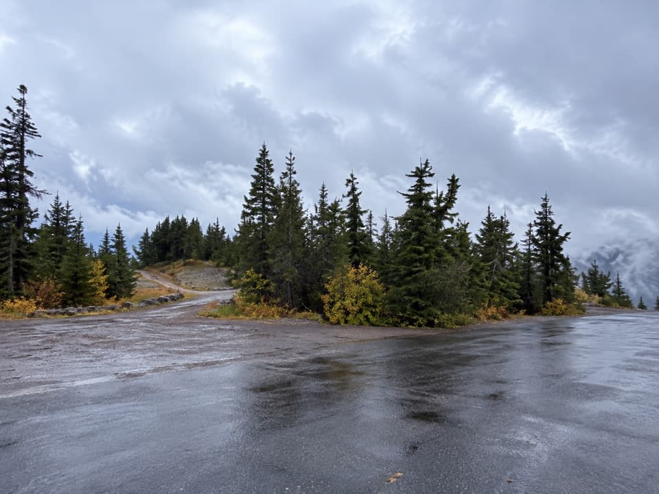
Use the signed Mount Scott Trailhead parking area on East Rim Drive, about 14 miles east of Park Headquarters.
#3 of 34 trails in Crater Lake
Crater Lake National Park, OR
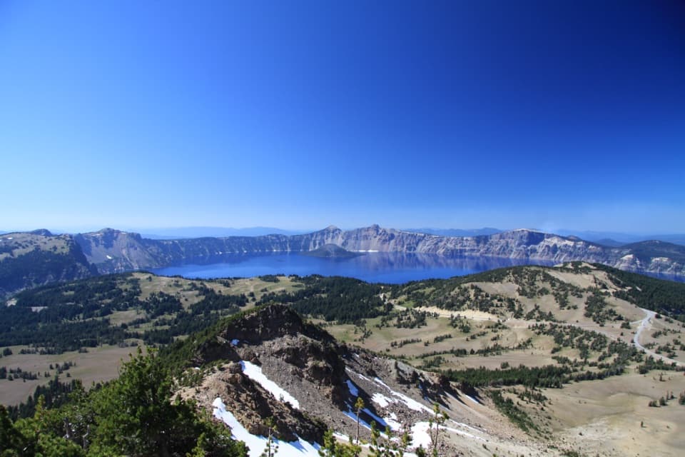
Climb for the park’s only full-lake view.
Overview
Mount Scott Trail is a 4.4-mile out-and-back from East Rim Drive to the highest point in Crater Lake National Park. It starts around 7,680 feet and climbs about 1,250 feet to the 8,929-foot summit; allow roughly three hours. The reward is the park’s only in-park view of the entire lake, with the Klamath Basin and southern Cascades beyond. I’d choose it if the full-lake panorama is the goal and you’re ready for a hard climb at high altitude. If you want a quick lake look, pick one of the shorter rim walks instead. Some hikers report a 5-mile sign at the trailhead, while the mapped round trip is 4.4 miles; check the current sign and leave a little extra time if it shows the longer figure.
 Parkwolf’s verdictIs this climb for you?
Map & elevation
Plan your hike

The highest, rockiest slopes around here are a summer buffet for grizzly bears.
Crater Lake Tour Guide
Parkwolf is a GPS audio tour guide for Crater Lake National Park. As you drive, it chimes in with what’s ahead: hidden gems, upcoming stops, history, geology, and wildlife, right through your car’s speakers.
See the Crater Lake audio tourRecorded for this trailhead
Mount Scott Trailhead“Mount Scott Trailhead is ahead, the start of a climb to the park's highest summit and its only in-park view of the entire lake.”
Plays as you drive up to this trailhead in the Parkwolf Crater Lake Tour Guide.
More stories near here in the app
“Fantastic app with many points of information… It’s great to just turn on while you’re driving and it gives you an audio tour of the national Park. We love it!!!!”


Trail guide
The path opens across pumice beneath Mount Scott’s north face. The first quarter-mile is relatively level, then the trail climbs gradually along the west and southwest flanks through mountain hemlock, with whitebark pine and occasional Shasta red fir. As the trees thin, the route crosses open pumice and forest patches and steepens into switchbacks up the south face. A couple of viewpoints sit near the edge of the mountain’s collapsed north face, so keep to the tread and give the drop a wide berth. The last roughly 0.2 mile is a fairly level summit ridge. The return follows the same corridor; the map draws that path once, while the distance above counts both directions.
The summit lookout stands at the north end of the ridge, a landmark built in 1926. The full-lake view is the reason to come, but the ridge also opens toward the Klamath Basin and southern High Cascades. The route earns its place before the summit too: its higher switchbacks look across the steep, broken north face, and you can watch the terrain open from forest to bare volcanic slope. For a photo, turn north across the water and keep a whitebark pine or rocky ridge in the foreground; it gives the wide lake view some scale.
Mount Scott is about 425,000 years old, long predating Crater Lake. The much larger Mount Mazama once rose roughly 12,000 feet above the region. A series of eruptions about 7,700 years ago emptied its magma system and the mountain collapsed, leaving the caldera and spreading pumice and ash across the landscape. That pumice field at the start of the trail is part of the same story, not just loose gravel on the path.
Whitebark pine is built for the park’s highest elevations. Its canopy holds snow and helps anchor thin, exposed soils; Clark’s nutcrackers carry off its closed-cone seeds and sometimes leave a cache that grows into a new stand. The trees are under pressure from blister rust and mountain pine beetles, and the park has been monitoring and raising resistant seedlings for years. High-country wildflowers are usually at their best in mid- to late July, though lingering snow can shift the bloom.
Park at the signed Mount Scott Trailhead on East Rim Drive, about 14 miles east of Park Headquarters. The hike starts high and finishes higher, so take the opening climb steadily and bring water and a warm layer; the summit can be windy and cold even in late summer. Snow can cover this route into summer, with timing varying by year, so check access before driving out. Pets are not allowed on this trail.
Wildlife
 16 sightingsBlack BearMost seen around 8 PMSighting map
 178 sightingsMule DeerMost seen around 7 PMSighting map
 26 sightingsCommon RavenMost seen around 9 AMSighting map
 33 sightingsTurkey VultureMost seen around 1 PMSighting map
 47 sightingsRed-tailed HawkMost seen around 11 AMSighting map
 71 sightingsCascades FrogMost seen around 5 PMSighting map
Sighting maps show where each species has been reported across Crater Lake. Wildlife moves, so no sighting is guaranteed.
Keep exploring
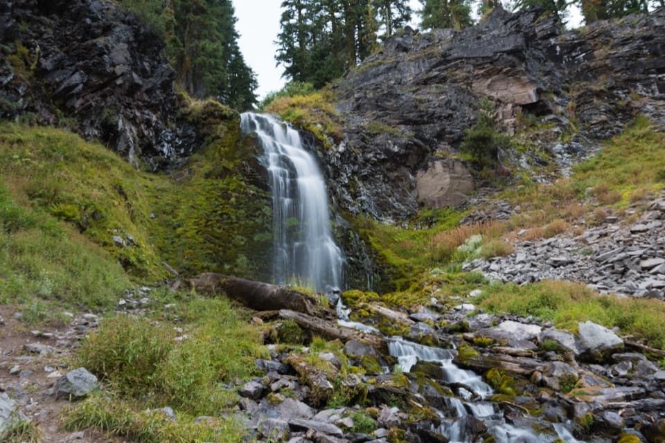 EasyPlaikni Falls Trail2 mi · 1 hr · 2.4 mi awayA gentle forest walk to a waterfall, with a brief final climb.
 EasySun Notch Trail0.8 mi · 36 min · 3.9 mi awayA short loop through a pumice meadow to Phantom Ship.
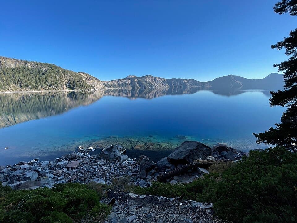 ChallengingCleetwood Cove Trail2.2 mi · 2.5 hr · 4.4 mi awayA rare walk to the water, with a serious climb back out.
 ModerateGrayback Road8 mi · 4 hr · 4.7 mi awayA broad, quiet forest walk along an old rim road
 ModerateCrater Peak Trail6.5 mi · 3.5 hr · 4.7 mi awayA forested climb to a volcanic summit above the Klamath Basin.
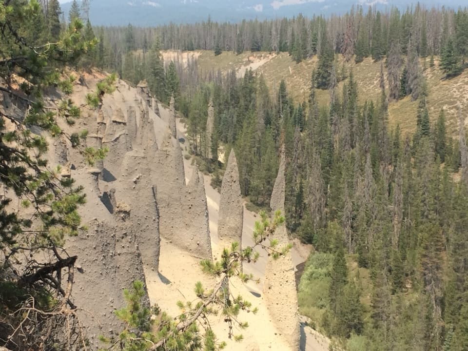 EasyThe Pinnacles Trail1.6 mi · 45 min · 5.6 mi awayAn easy path to a close-up look at volcanic chimneys.
 ModerateRaven Trail2 mi · 2.5 hr · 5.7 mi awayA marked winter climb to the caldera rim.
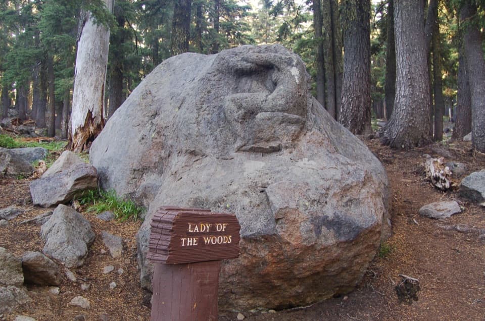 EasyLady of the Woods Trail0.7 mi · 36 min · 5.7 mi awayA short history loop to a weathered forest carving.
 Picnic area · 0.2 mi awayWhitebark Pine Picnic AreaA quiet picnic stop among high-country whitebark pines.
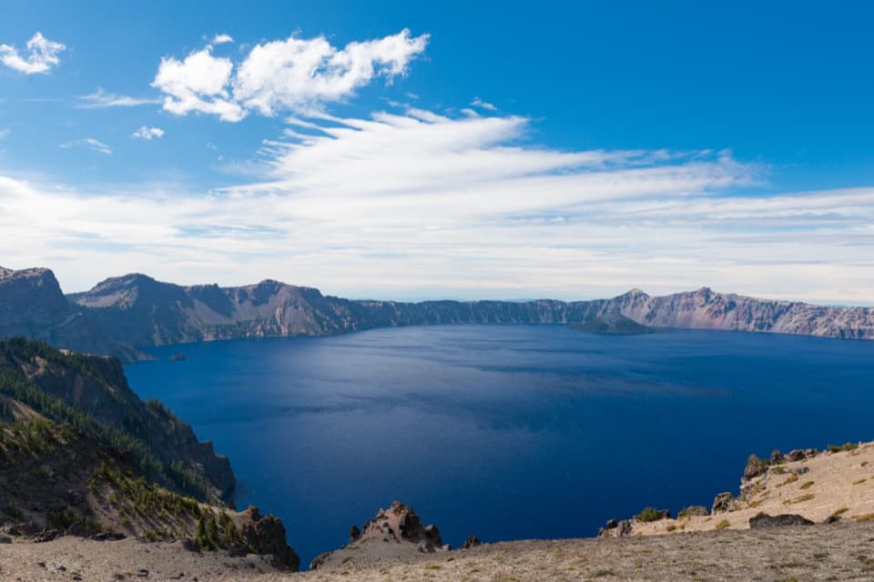 Sight · 1 mi awayCloudcap OverlookA high east-rim pullout with a sweeping view into the caldera.
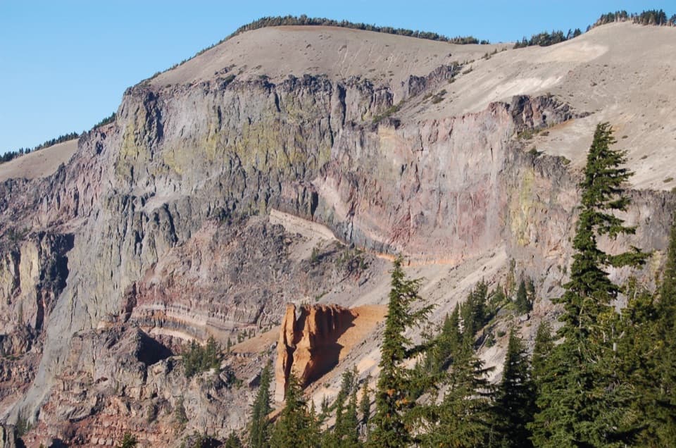 Sight · 1.3 mi awayPumice Castle OverlookAn orange pumice castle breaks up the dark caldera wall.
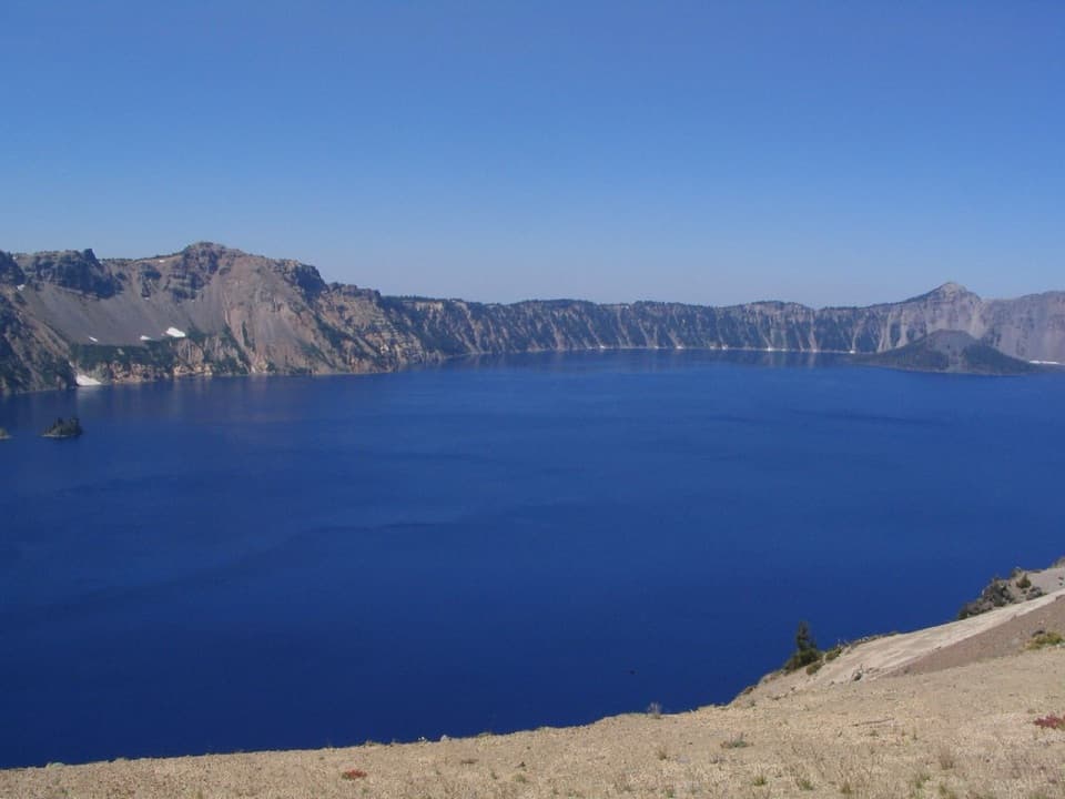 Scenic pullout · 1.6 mi awayVictor ViewA quick lake stop with a story built into the east-rim stonework.
 Scenic pullout · 1.6 mi awayReflection PointA long stone parapet frames another view of Phantom Ship.Sight · 1.7 mi awayPlaikni FallsA shaded forest walk ends at a snowmelt-fed waterfall.
 Scenic pullout · 1.7 mi awaySkell Head OverlookA roadside lake view with a glacial oddity in the rock.
 Scenic pullout · 2.1 mi awayGrotto Cove OverlooksTwo roadside overlooks where the view reaches past the rim to Thielsen.
Parkwolf’s Crater Lake ranking
The audio tour guide for the drive, plus offline maps, trails, and wildlife heatmaps for when the signal drops.


