
Place · 0 mi away
Challenging
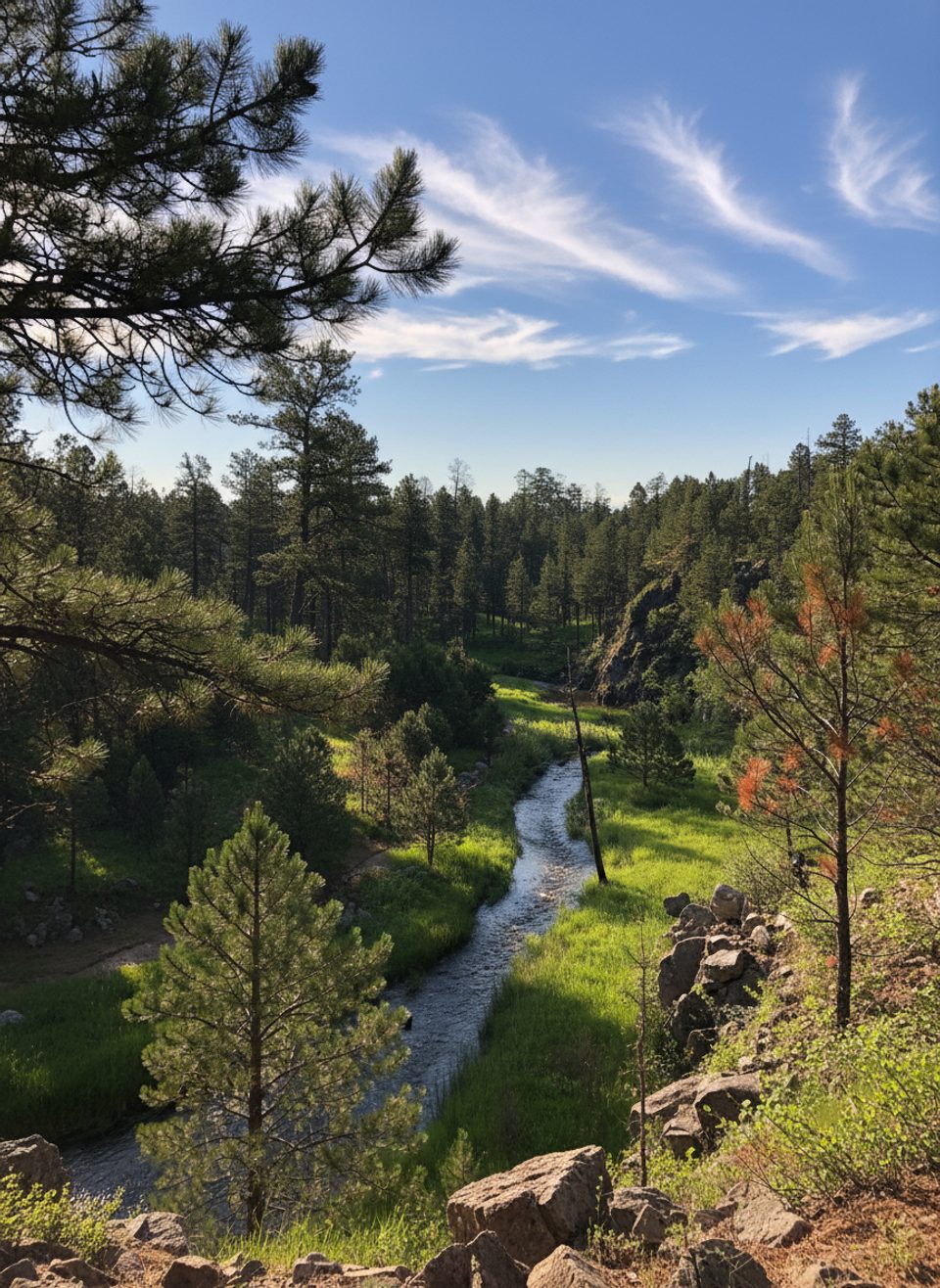
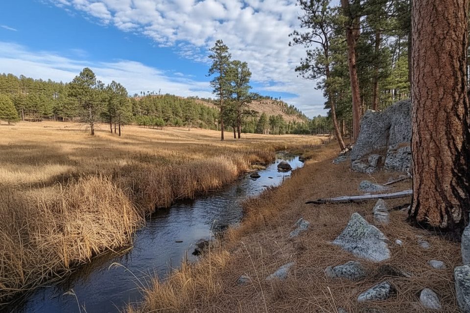
If you want a true backcountry experience in Custer State Park, this is it. The French Creek Natural Area Trail shadows its namesake creek for roughly 12 miles one way through a quiet canyon and riparian corridor. Expect constant water nearby, long stretches of game-path travel, and very few people. This is a point‑to‑point route with no formal, built tread for much of its length—navigation is about following the creek and picking up use trails when they appear.
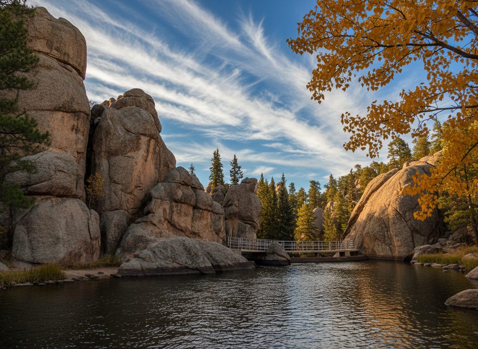
The scenery is classic Black Hills variety: dramatic granite outcrops, open grasslands, piney slopes, and a lush creek bottom punctuated by pools and riffles. Wildlife is a major draw here—bison commonly roam the grassier sections, and hikers also report elk, deer, bighorn sheep, and eagles. Wildflowers pop in season, and the creek itself is alive with life in the deeper pools.
Difficulty comes from the terrain, not the elevation. You’ll cross French Creek many times—dozens over the full traverse—and plan on getting wet. Crossings can be knee‑deep after rains, and slick rocks, muddy stretches, and tall vegetation (including abundant poison ivy) keep you honest. The “trail” is primitive and sometimes confusing, especially in the middle sections where animal paths braid and signage thins. Be ready to reroute if bison are on the corridor; they have the right of way.
This is a primitive zone: no amenities, no potable water, and no established campsites or fire rings. Backcountry camping is allowed within the Natural Area, but keep it low‑impact—pack everything in and out. Day hikers don’t need a permit. Equestrians also use the corridor.
Best time to hike: late spring through early fall. Summer delivers the most wildlife and wildflowers but can be hot with high bison activity. Winter and early spring can bring high, cold water and sticky mud that make crossings hazardous. Start early, check conditions after any rain, and avoid peak heat for comfort.
Tips: wear quick‑draining shoes or bring sandals for crossings; long pants help with poison ivy. Carry a detailed map or GPS—don’t count on consistent markers. Leave gates as you find them, and give all wildlife a very wide berth.
Park at the French Creek Trailhead; this is a point‑to‑point route—plan your turnaround or a car drop for a full traverse.
Frequent, potentially deep creek crossings; abundant poison ivy; bison on the corridor; primitive navigation with sparse markers; crossings become hazardous after rain. Leave gates as found.
Place · 0 mi away
Place · 3.3 mi away
Place · 3.5 mi away
Place · 3.6 mi away
Easy · 3.5 mi away
Moderate · 4 mi away
Easy · 5 mi away
Moderate · 6.3 mi away

Parkwolf Tour Guide
