Parking
Use the marked Prairie Trail parking area on the south side of Wildlife Loop Road; it sits at the north end of the loop.
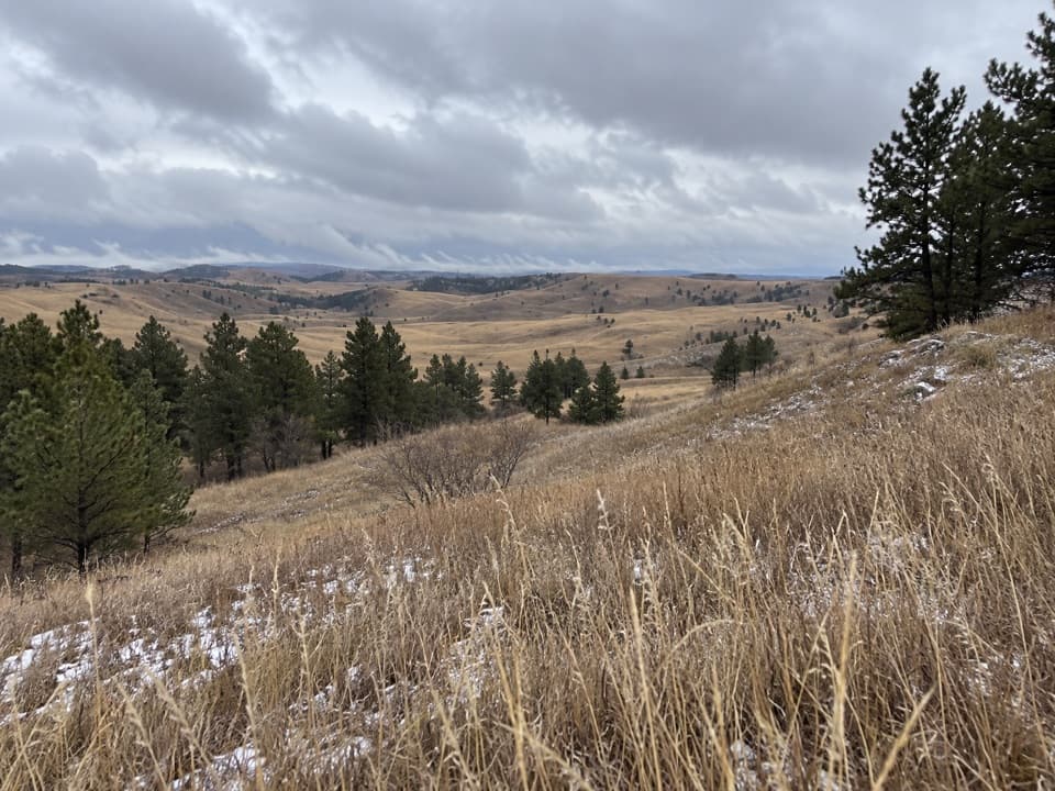
Custer State Park, SD
A rolling prairie loop with creek shade and summer wildflowers.
Overview
Map & elevation
Plan your hike

The highest, rockiest slopes around here are a summer buffet for grizzly bears.
Custer Tour Guide
Parkwolf is a GPS audio tour guide for Custer State Park. As you drive, it chimes in with what’s ahead: hidden gems, upcoming stops, history, geology, and wildlife, right through your car’s speakers.
See the Custer audio tourRecorded for this trailhead
Prairie Trail: Grassland and Bison Wallows“You're nearing the Prairie Trail trailhead, a chance to get out into the rolling grassland rather than just drive through it.”
Plays as you drive up to this trailhead in the Parkwolf Custer Tour Guide.
More stories near here in the app
“We recently toured Badlands, Custer State Park, Mount Rushmore and more! We learned so much from this app as we toured each of these sites. The audio tours are worth the money.”


Trail guide
Prairie Trail is a two-mile loop across the rolling grassland west of Wildlife Loop Road, with short rises, a small stream and patches of shaded hardwoods. Plan two to three hours from the roadside trailhead, including the short approach to the main loop and back. The climbs come in repeated ups and downs rather than one sustained ascent, so the park's moderate rating fits. Go for open prairie views and the change of scene by the creek; most of the route has little shade.
The narrow, natural-ground path crosses open grass and low hills, then dips beside a small meandering stream under mixed hardwoods. That wooded stretch is a welcome break from the sun, but it does not last for the whole walk. Creek crossings can be wet after rain or snowmelt and may run low or dry in dry spells. Bring water and a hat for the exposed sections.
The flower display changes through the season: look for pasqueflowers in early spring, prairie coneflowers around midsummer and asters toward fall. Large bare circles in the grass are bison wallows; bison roll in them to shed winter fur and deter biting flies. The open hills make the route a good place to notice how quickly prairie gives way to streamside trees.
Bison are common in this part of the park. Keep at least 100 yards away from bison and other large wildlife; if an animal is on the trail, wait or turn back rather than trying to pass close. Poison ivy is common along the route, so long pants and boots are sensible. Pets are allowed on a leash no longer than 10 feet.
Wildlife
 993 sightingsBisonMost seen around 7 AMSighting map
 91 sightingsWapitiMost seen around 6 AMSighting map
 260 sightingsBighorn SheepMost seen around 7 AMSighting map
 85 sightingsMountain GoatMost seen around 7 AMSighting map
 259 sightingsBurroMost seen around 6 PMSighting map
 711 sightingsPronghornMost seen around 6 AMSighting map
Sighting maps show where each species has been reported across Custer. Wildlife moves, so no sighting is guaranteed.
Keep exploring
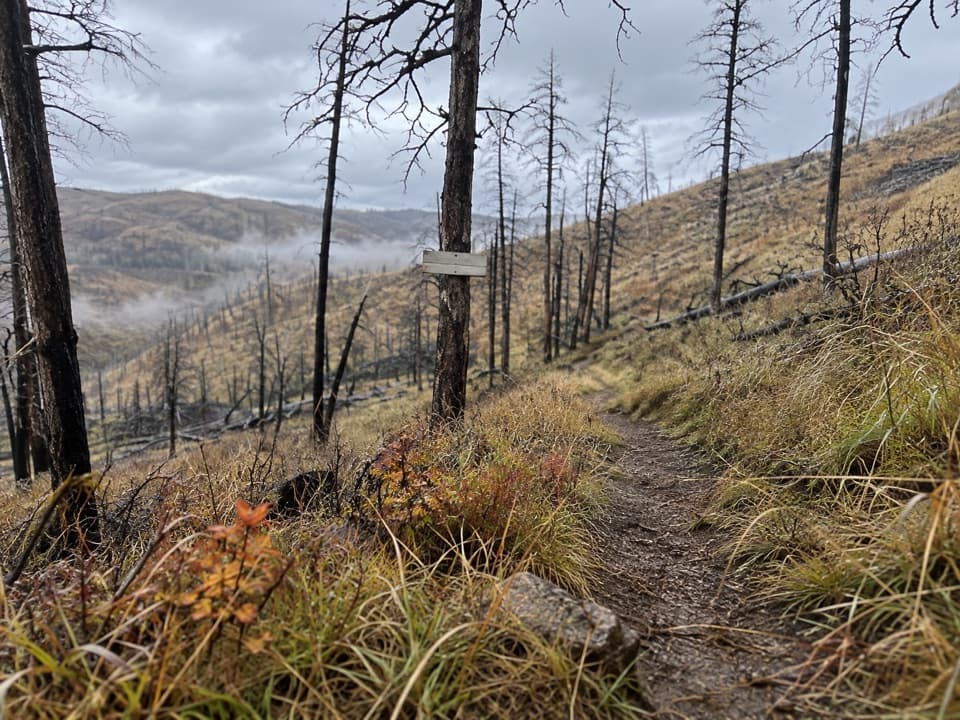 EasyRobber's Roost Trail1.6 mi · 1 hr · 0.3 mi awayA short fire-road walk through open hills and scorched pines.
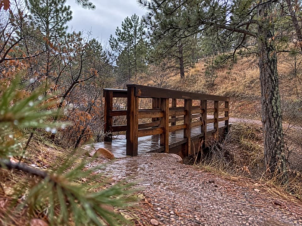 EasyRed Dog Trail0.2 mi · 18 min · 2.2 mi awayA quarter-mile prairie climb ends at a 360-degree view.
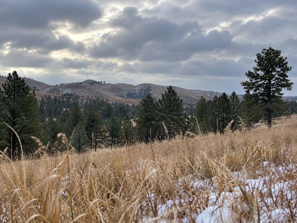 ModerateParker Canyon Loop4.4 mi · 2 hr · 3.2 mi awayA moderate loop links Parker Canyon with a meadow and Centennial Trail.
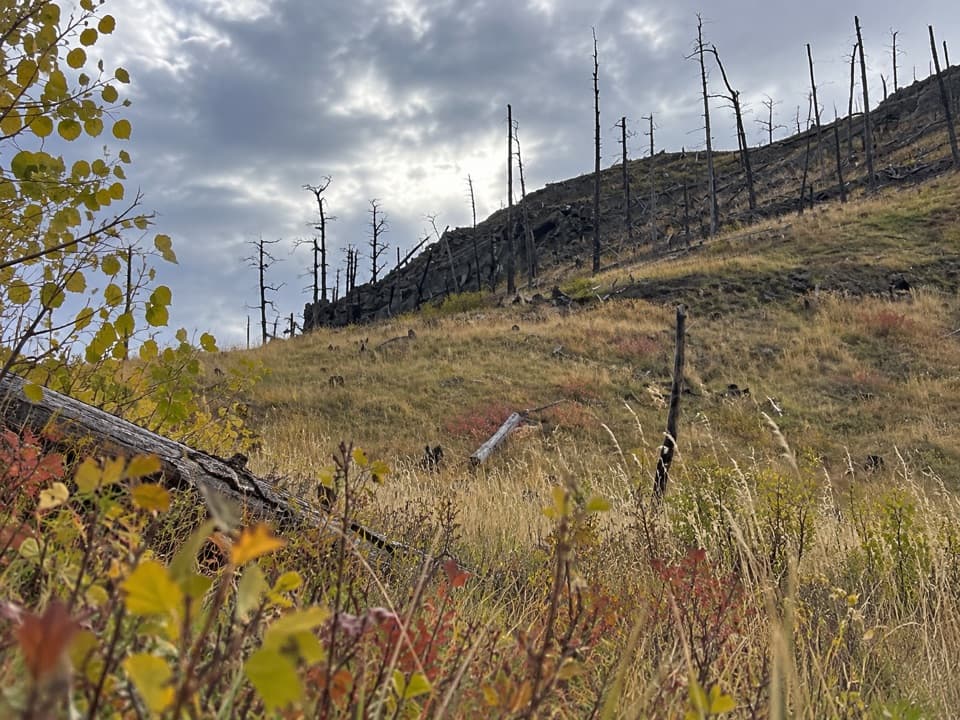 ModerateRimrock Trail3.1 mi · 2 hr · 3.7 mi awayA 3.1-mile one-way multi-use route on French Creek’s south rim.
 ModerateFisherman Flats Trail1.2 mi · 54 min · 3.9 mi awayA short, steep drop to a rocky perch above French Creek.
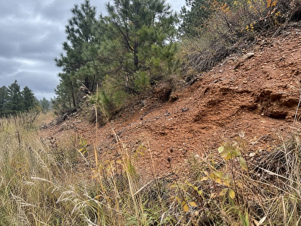 EasyDevil Dog Trail0.2 mi · 18 min · 4 mi awayA short stair climb opens onto prairie and a wide view.
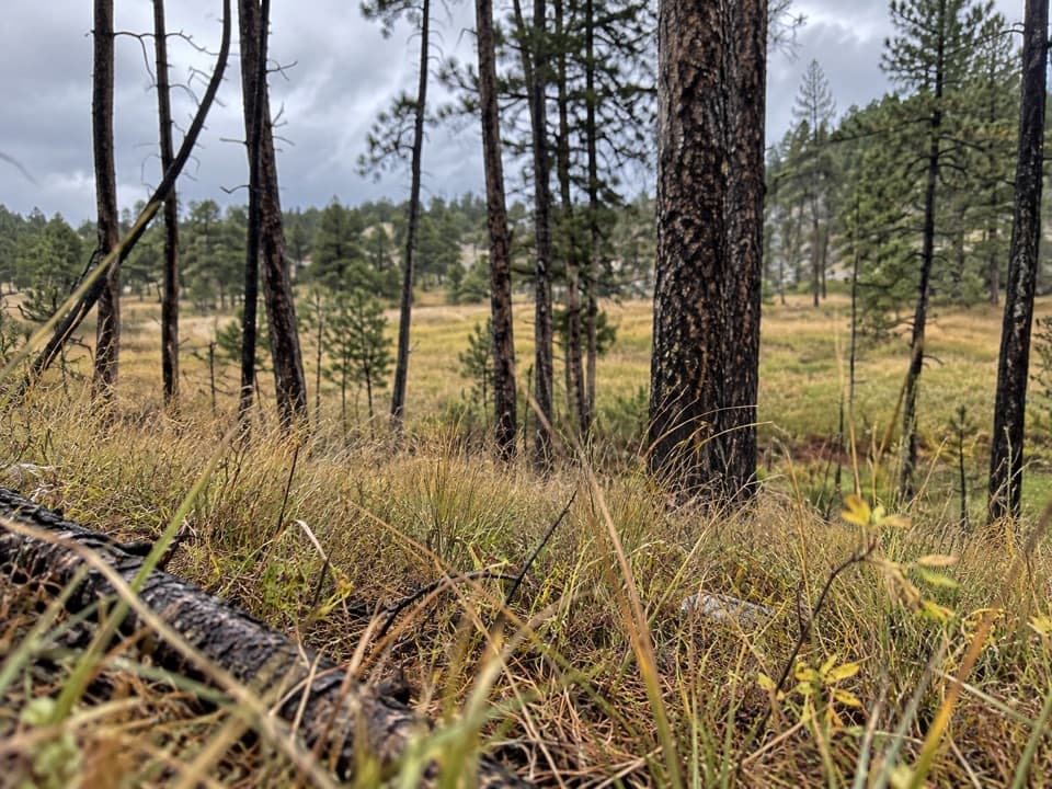 Easy2 Hour Trail Loop2.1 mi · 1.5 hr · 4.4 mi awayA compact circuit tucked among the French Creek routes.
 ModerateBarnes Canyon Trail4.9 mi · 4.5 hr · 6.2 mi awayA 4.9-mile one-way walk through Dry Creek backcountry.
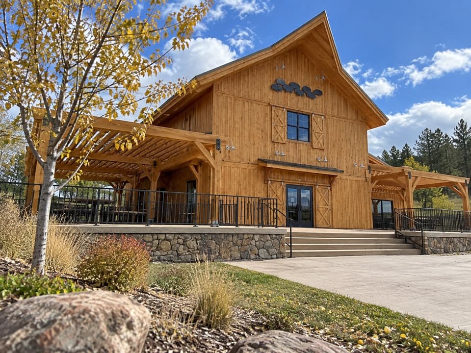 Visitor center · 2.1 mi awayCuster State Park Bison CenterMeet the herd’s story through interactive exhibits.
 Visitor center · 2.6 mi awayWildlife Station Visitor CenterA herdsman's house brings the prairie story onto the Wildlife Loop.
 Campground · 4.4 mi awayFrench Creek Horse CampA creek-side base camp with two corrals at every site.
 Entrance station · 4.5 mi awayBlue Bell Entrance StationA quick pass checkpoint at the start of Wildlife Loop
 Lodging · 5.3 mi awayBlue Bell LodgeA Black Hills cabin base with a creekside patio and backcountry cookout.
 Sight · 5.3 mi awayBlue Bell Lodge StablesA guided horseback ride into French Creek’s pine-lined backcountry.
 Store · 5.3 mi awayBlue Bell StoreA handy fuel and supply stop along the Wildlife Loop.
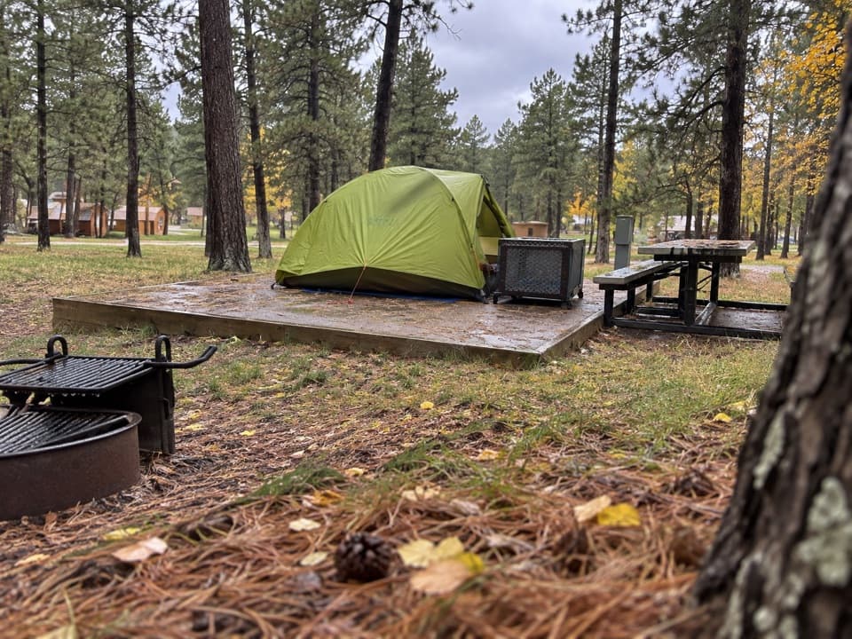 Campground · 5.4 mi awayBlue Bell CampgroundPine shade, tent pads, and cabins beside French Creek.
Parkwolf’s Custer ranking

The audio tour guide for the drive, plus offline maps, trails, and wildlife heatmaps for when the signal drops.





