Creekside Trail in Custer State Park

Custer State Park, SD

Creekside Trail

A paved creekside stroll with bridges and easy campground access.

Length
2mi
Time
1.5hr
Elev. change
171ft
Difficulty
Easy
  • Dogs allowed
  • High point 4,354 ft
  • #19 of 40 in Custer

Hear the audio tour

Grace Coolidge: Creekside Camping and a Gentle Walk

Overview

About Creekside Trail

Why go

  • Paved, mostly level route suitable for wheelchairs and strollers
  • Creek bridges and park landmarks make useful waypoints

Heads up

  • Point-to-point; returning to your car means a ride or walking back

Map & elevation

The route

Loading the Custer map
Full map
Elevation4,183–4,354 ft
TrailheadGrace Coolidge Campground43.77653, -103.40105
Keep this map with you offline in the Parkwolf app

Plan your hike

Before you go

Parking

Start at Grace Coolidge Campground or Game Lodge Campground. Intermediate access is available at the State Game Lodge, Peter Norbeck Visitor Center, Coolidge General Store and park office along US-16A. Leave a vehicle at both ends or plan to walk back.

Safety

Bison may occupy the trail or a bridge; give them room and wait or turn back instead of trying to pass. Pets must stay under immediate control.

A park ranger sits on a dash-mounted phone, talking, as Parkwolf’s Tour Guide plays “Army Cutworm Moths: A Grizzly Bear Buffet” on Grand Loop Road below Dunraven Pass in Yellowstone
Parkwolf Tour GuideThe highest, rockiest slopes around here are a summer buffet for grizzly bears.

Custer Tour Guide

Your drive to Creekside Trail, narrated.

Parkwolf is a GPS audio tour guide for Custer State Park. As you drive, it chimes in with what’s ahead: hidden gems, upcoming stops, history, geology, and wildlife, right through your car’s speakers.

See the Custer audio tour

Recorded for this trailhead

Grace Coolidge: Creekside Camping and a Gentle Walk
0:00 / 0:29
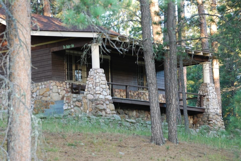
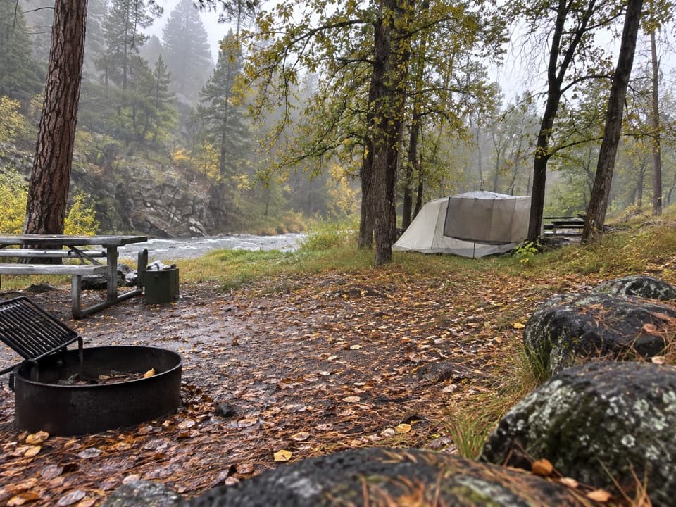
“Up ahead is Grace Coolidge Campground, a small wooded camping area beside the creek. The highway divides it: six tent-only sites are on the north side, while the south side takes other camping units.”

Plays as you drive up to this trailhead in the Parkwolf Custer Tour Guide.

More stories near here in the app

  • A Buzz That Shakes Out Pollen
  • Coolidge General Store: Pizza and a Ship-Hull Ceiling
  • Peter Norbeck Center: Play and Explore
  • State Game Lodge: The Summer White House
  • 82 audio storiesacross Custer’s roads, triggered by GPS as you drive
  • Wildlife heatmapsfor Bison, Wapiti, Bighorn Sheep, and 13 more
  • Works offlinemaps, 40 trails, 49 places, and audio download before you lose signal
  • CarPlay readysimple controls built for the drive
★★★★★
“We recently toured Badlands, Custer State Park, Mount Rushmore and more! We learned so much from this app as we toured each of these sites. The audio tours are worth the money.”
milesdavis11App Store review
Download Parkwolf on the App StoreGet Parkwolf on Google Play

4.7 from 8,600+ ratings

Trail guide

Hiking Creekside Trail

A gentle route, one wayCreekside Trail is a paved point-to-point walk beside Grace Coolidge Creek, linking Game Lodge…

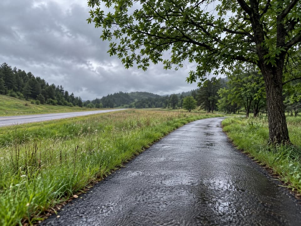
Creekside Trail is a paved point-to-point walk beside Grace Coolidge Creek, linking Game Lodge Campground and Grace Coolidge Campground. Budget about 2 miles one way and 1 to 2 hours. Published figures range up to 2.4 miles; the mapped line between the campground access points measures about 1.9. The mostly level surface makes it an easy waterside outing and is suitable for wheelchairs and strollers. It does not loop: leave a car at both ends, arrange a ride, or walk back for roughly 4 miles.

Following the creekFrom Grace Coolidge Campground, follow the paved path beside US-16A toward the Game Lodge end.

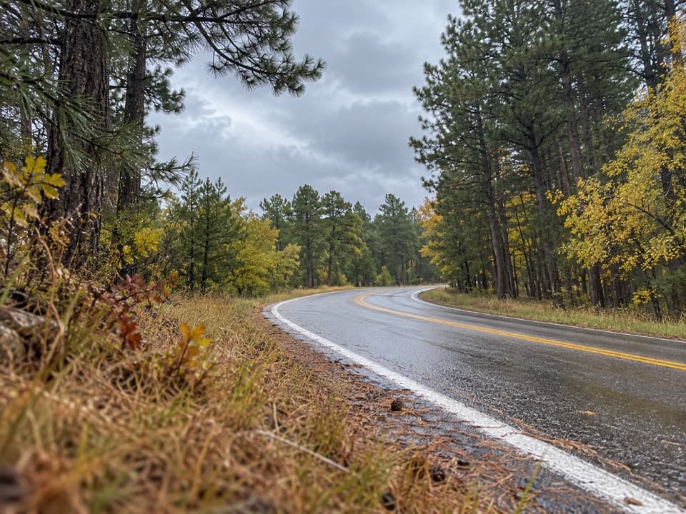
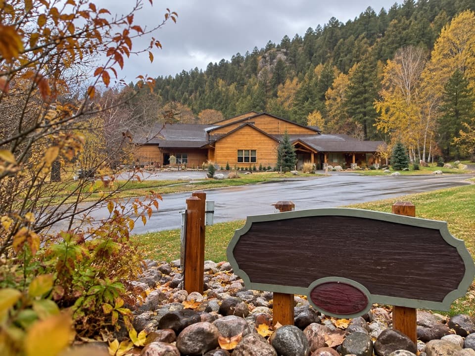
From Grace Coolidge Campground, follow the paved path beside US-16A toward the Game Lodge end. Several bridges cross the creek. Along the way, the route passes the park office, Coolidge General Store, Peter Norbeck Visitor Center and State Game Lodge, so it is easy to split into a shorter stretch from one of those access points. The grade is mostly level; cyclists should walk their bikes on the steeper section near the park office.

When a bison takes the bridgeBison may move through the creek corridor and onto the path, including its bridges.

Bison may move through the creek corridor and onto the path, including its bridges. Give one plenty of room and wait for it to leave or turn back rather than trying to pass close. Pets are allowed but must remain under immediate control.

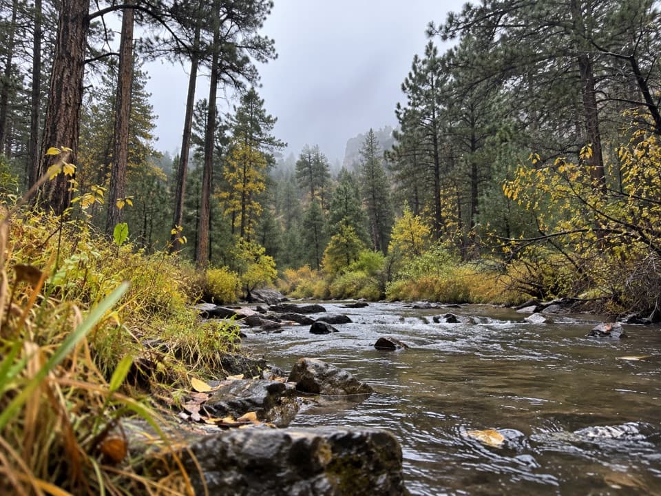
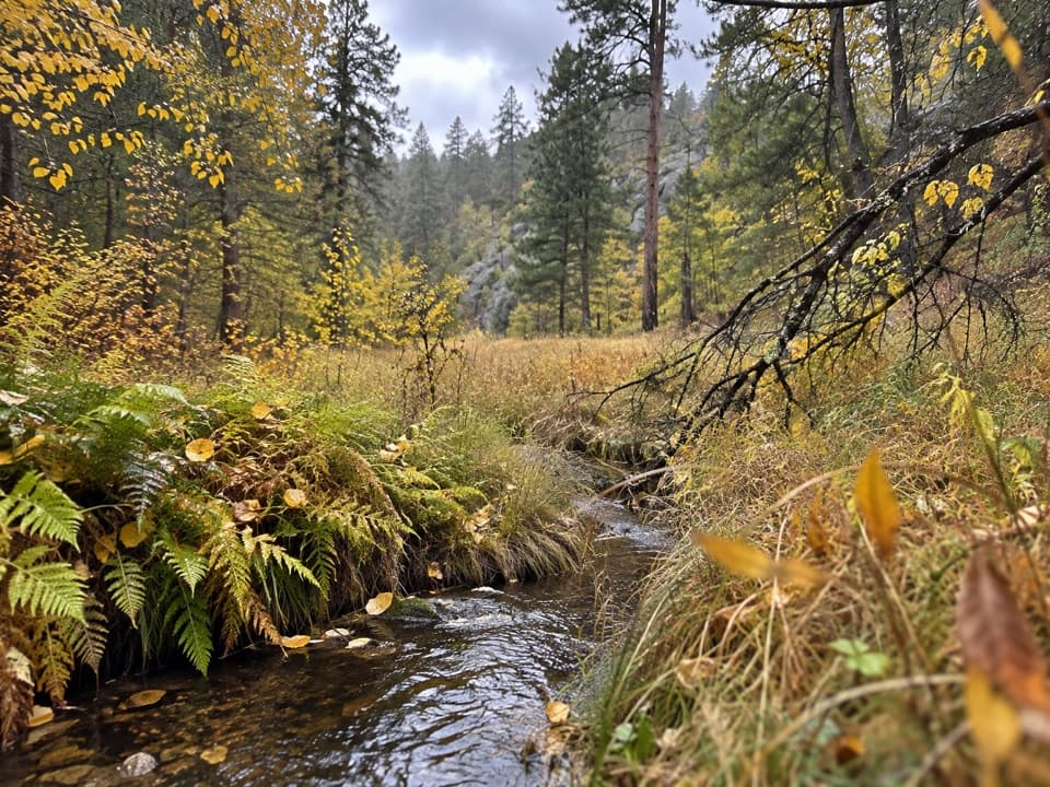
Look into the poolsThe route follows clear pools and a series of creek crossings through a mix of shaded trees and…

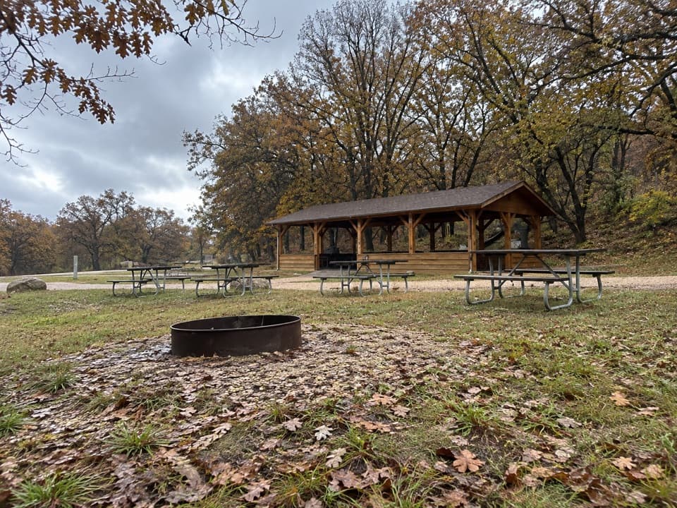
The route follows clear pools and a series of creek crossings through a mix of shaded trees and open meadow. The park stocks Grace Coolidge Creek with brook and rainbow trout; you can look for fish from the bridges without leaving the path.

A creek named for Grace CoolidgeGrace Coolidge Creek is named for First Lady Grace Coolidge.

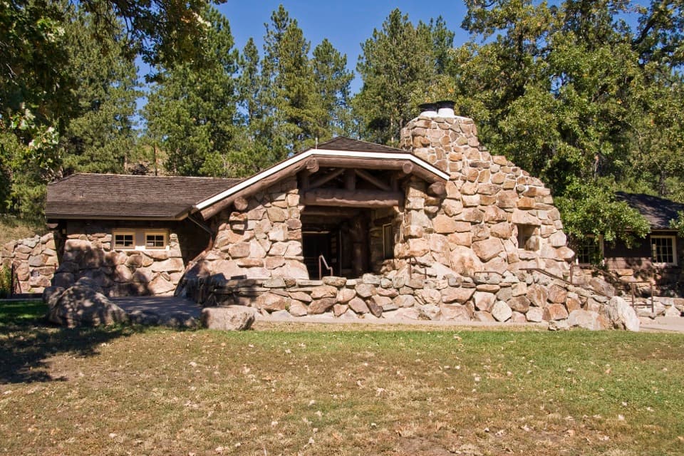
Grace Coolidge Creek is named for First Lady Grace Coolidge. She and President Calvin Coolidge stayed at the State Game Lodge in 1927, putting a small presidential connection right alongside this easy walk.

Wildlife

Wildlife in Custer

All Custer wildlife maps

Sighting maps show where each species has been reported across Custer. Wildlife moves, so no sighting is guaranteed.

Keep exploring

Near Creekside Trail

See it all on the map

Trails that start nearby

Places near the trailhead

Parkwolf’s Custer ranking

Top-rated trails in Custer

All 40 trails
  1. 1Black Elk Peak Trail #9 SouthChallenging · 6.6 mi
  2. 2Cathedral Spires TrailChallenging · 1.2 mi
  3. 3Sunday Gulch TrailChallenging · 3 mi
  4. 4Little Devils Tower TrailChallenging · 3 mi
  5. 5Sylvan Lake Shore TrailModerate · 1 mi
  6. 6Black Elk Peak LoopChallenging · 7.1 mi

Take Parkwolf to Custer.

The audio tour guide for the drive, plus offline maps, trails, and wildlife heatmaps for when the signal drops.

4.7 from 8,600+ ratings

Download Parkwolf on the App StoreGet Parkwolf on Google Play