Parking
Use the trailhead behind the large Memorial Chapel in the State Game Lodge area. Parking reports conflict, so capacity is uncertain. Motorized entry into the park requires a state park entrance license.
#8 of 40 trails in Custer
Custer State Park, SD
A steep ridge, a rocky perch, then Galena Creek crossings.
Overview
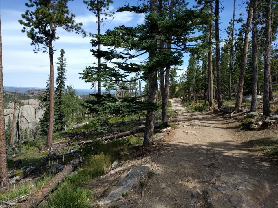
Lovers Leap Trail is a 4-mile loop from behind the Memorial Chapel near State Game Lodge. It climbs through ponderosa pine and oak to a ridge and the rocky Lovers Leap outcrop, then drops to Galena Creek for a winding valley return. The park rates it moderate and gives a two-to-four-hour range; plan around three hours. It earns its place through the change in scenery and the view from the rock, but this is not a quick stroll: one side climbs sharply, and more than twenty creek crossings make the return slower. The full distance includes the short shared approach to the loop junction.
 Parkwolf’s verdictIs this loop for you?
Map & elevation
Plan your hike

The highest, rockiest slopes around here are a summer buffet for grizzly bears.
Custer Tour Guide
Parkwolf is a GPS audio tour guide for Custer State Park. As you drive, it chimes in with what’s ahead: hidden gems, upcoming stops, history, geology, and wildlife, right through your car’s speakers.
See the Custer audio tourRecorded for this trailhead
State Game Lodge: The Summer White House“You're coming up on State Game Lodge, the stone-and-timber lodge that served as Calvin and Grace Coolidge's Summer White House in nineteen twenty-seven.”
Plays as you drive up to this trailhead in the Parkwolf Custer Tour Guide.
More stories near here in the app
“We recently toured Badlands, Custer State Park, Mount Rushmore and more! We learned so much from this app as we toured each of these sites. The audio tours are worth the money.”


Trail guide
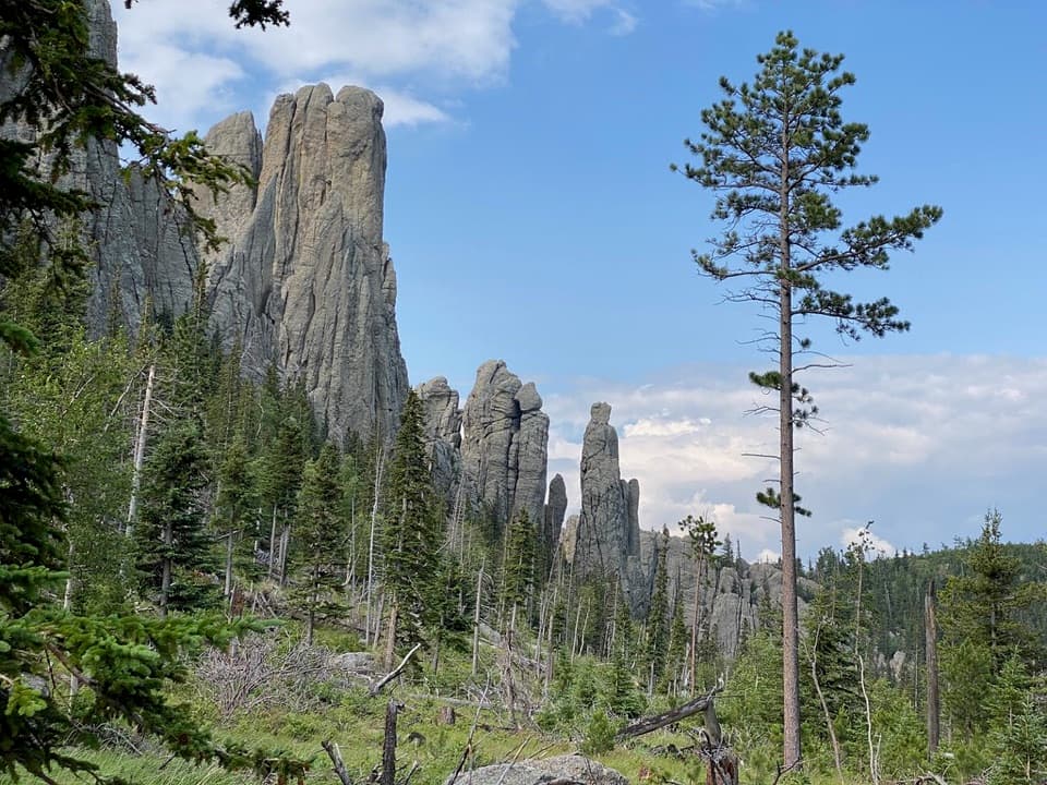
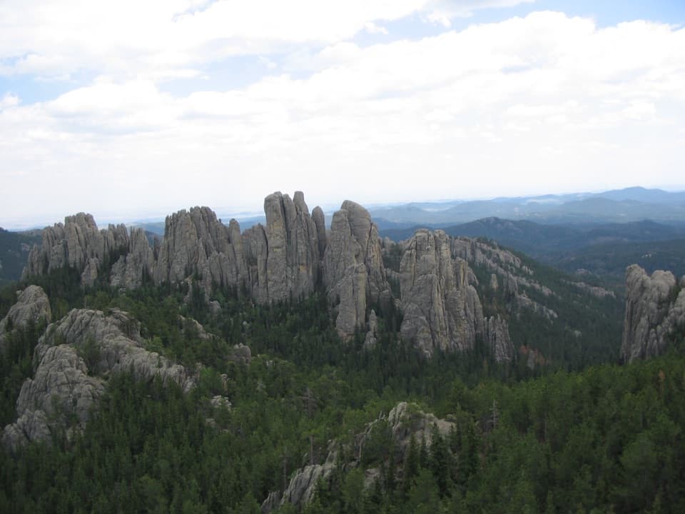
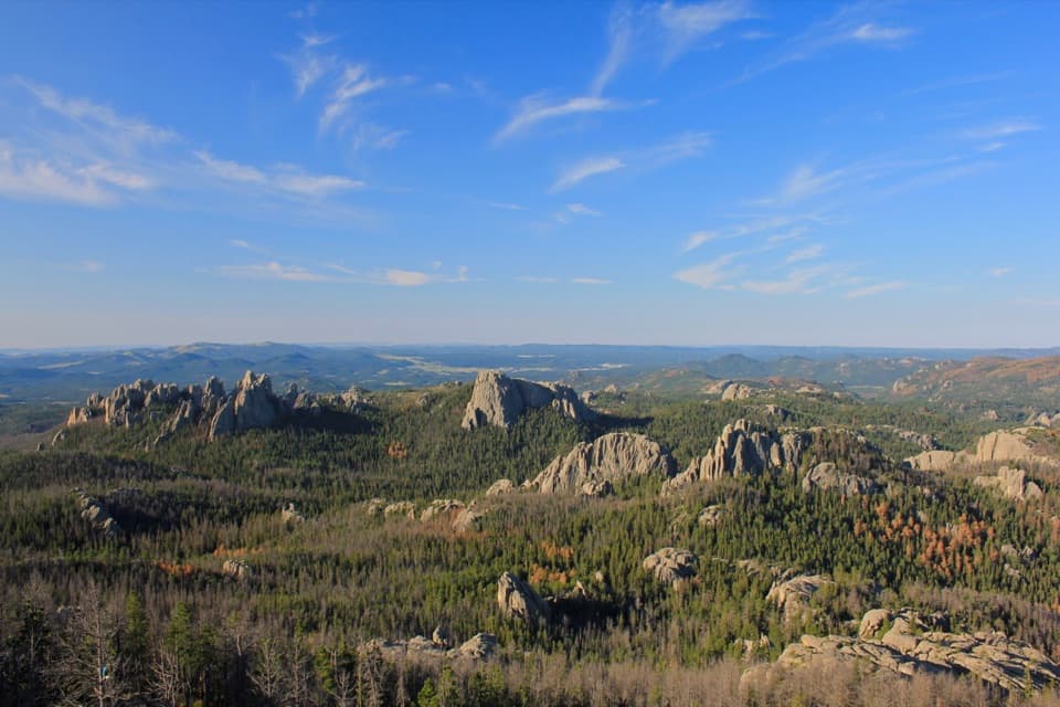
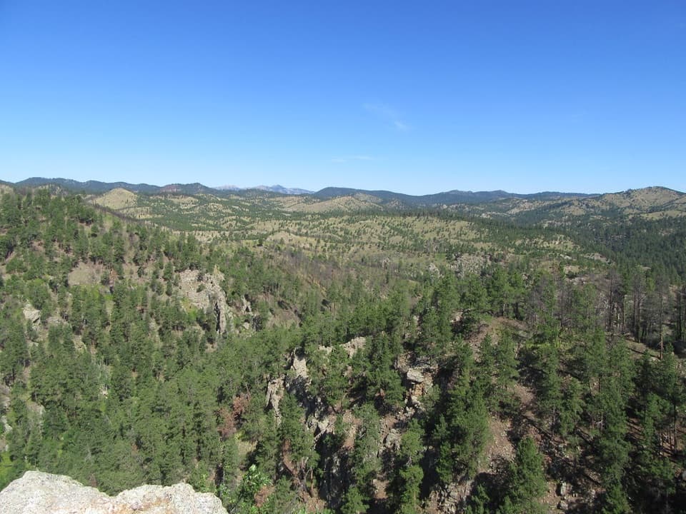
The walk starts with a steady uphill through pine and oak. After the first stretch, one side of the loop climbs harder for roughly another half mile before easing along the ridge. The other direction spreads the climb over a longer grade, and hikers disagree about which feels easier; choose based on whether you would rather get the steeper part done early or climb more gradually. The park map marks the named Lovers Leap outcrop as the high point, with views toward Mount Coolidge, Black Elk Peak and Cathedral Spires. For a photo, keep some of the pale rock ledge in the foreground so the canyon and ridges have scale.
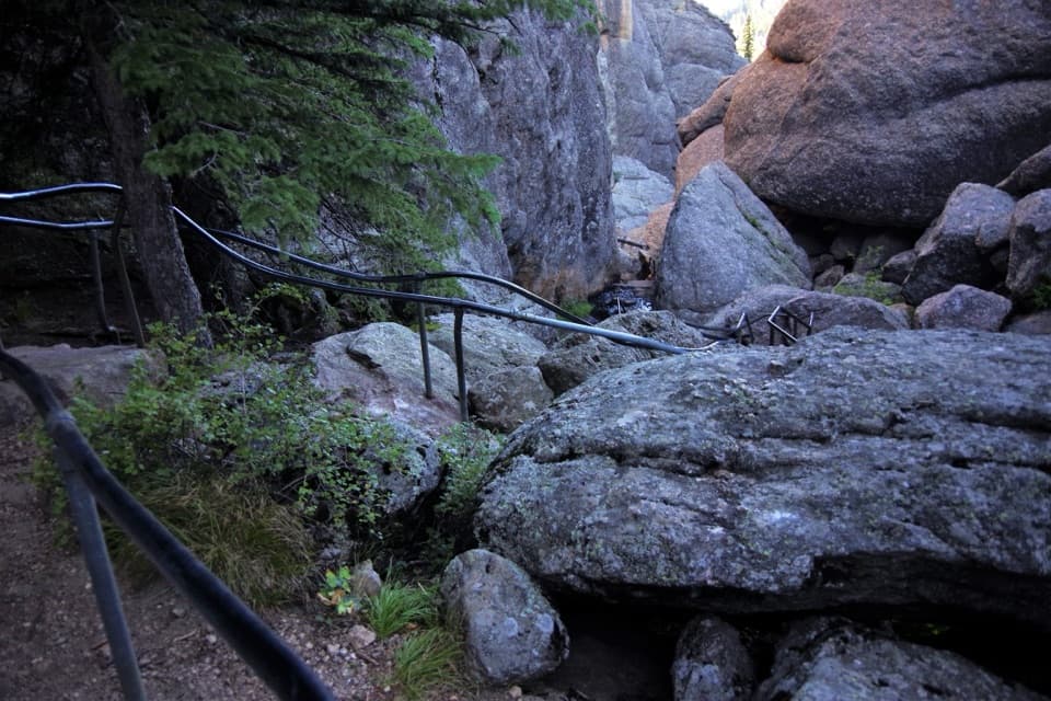
Past the ridge, the trail drops quickly to Galena Creek and winds back through its valley. The park counts more than twenty crossings. A few use small bridges; many mean stepping across stones or logs, so progress slows and shoes can get wet. Recent hikers also describe loose, dusty footing and mud after rain. This section is the main tradeoff: it makes the return feel varied, but it is not a dry, smooth walk back to the car.
The park describes this route as reshaped by the Galena and Legion Lake fires and the historic December 2025 windstorm. Open views now mark places that were once under denser forest, and the woods are still recovering. Ponderosa pine and oak remain the defining trees on the climb. The name's romantic origin story appears as local folklore, but no reliable historical account was found, so it is better to enjoy the view than treat the legend as fact.
Find the trailhead behind the large church, the Memorial Chapel in the State Game Lodge area. Parking reports range from a handful of spaces to ample room, so capacity is uncertain. A South Dakota park entrance license is required for motor vehicles entering the park; check current entry details before you go. Dogs are allowed on a leash no longer than ten feet, but not in park buildings or on designated swim beaches. Poison ivy is commonly found along the trail, so long trousers are useful here.
Wildlife
 993 sightingsBisonMost seen around 7 AMSighting map
 91 sightingsWapitiMost seen around 6 AMSighting map
 260 sightingsBighorn SheepMost seen around 7 AMSighting map
 85 sightingsMountain GoatMost seen around 7 AMSighting map
 259 sightingsBurroMost seen around 6 PMSighting map
 711 sightingsPronghornMost seen around 6 AMSighting map
Sighting maps show where each species has been reported across Custer. Wildlife moves, so no sighting is guaranteed.
Keep exploring
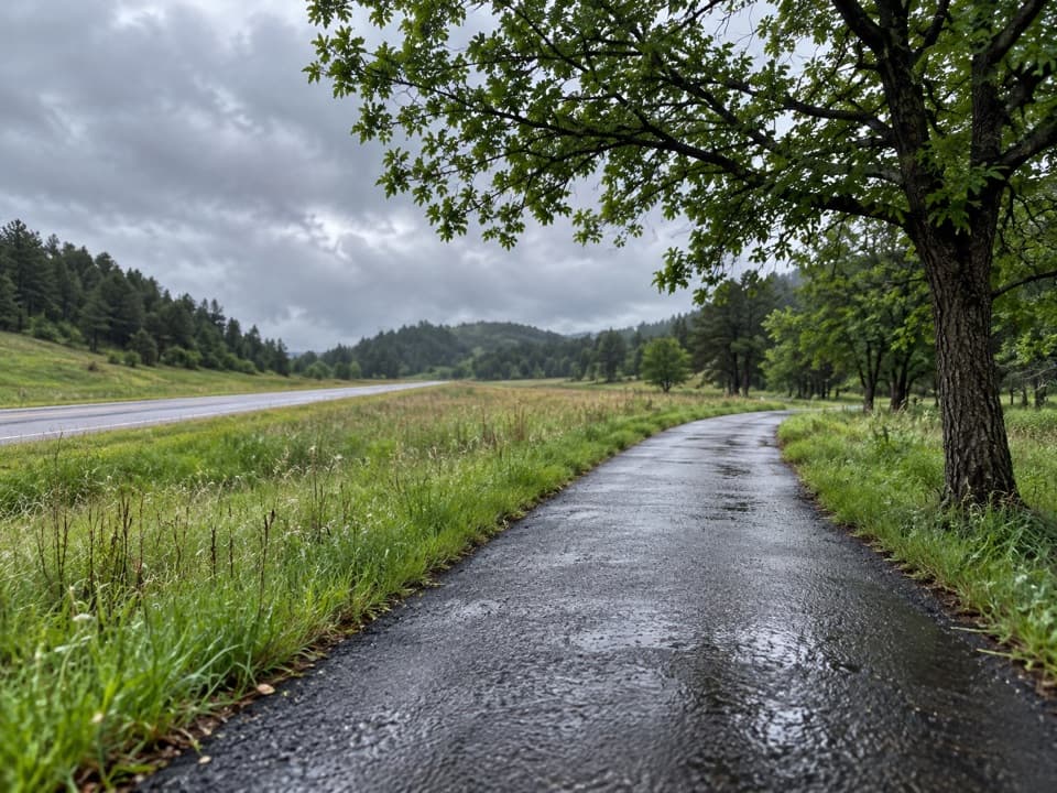 EasyCreekside Trail2 mi · 1.5 hr · 1.2 mi awayA paved creekside stroll with bridges and easy campground access.
 ModerateBarnes Canyon Trail4.9 mi · 4.5 hr · 2.9 mi awayA 4.9-mile one-way walk through Dry Creek backcountry.
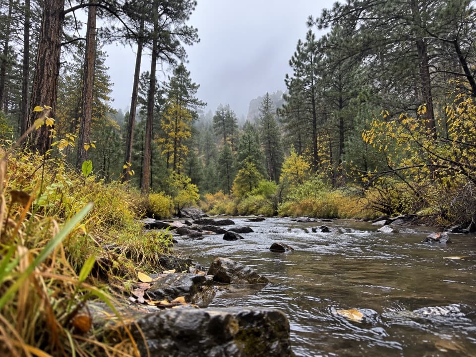 ModerateCalkins Draw Trail4.4 mi · 2.8 hr · 2.9 mi awayA backcountry trail from Barnes Canyon down to French Creek.
 ModerateGrace Coolidge Trail4.6 mi · 3 hr · 3.3 mi awayA nearly level creek walk past trout pools and repeated crossings.
 ModerateLost Trails: Lower Loop1.5 mi · 1 hr · 3.3 mi awayA rocky lake loop with waterfall views and CCC stonework
 ModerateLost Trails: Upper Loop and Overlook1 mi · 45 min · 3.3 mi awayA short, steep loop climbs old stone paths to a lake overlook.
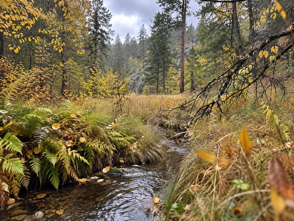 ModerateGalena Trail6.4 mi · 2.5 hr · 3.4 mi awayA 6.4-mile out-and-back on a marked, shared-use Custer trail.
 ModerateFisherman Flats Trail1.2 mi · 54 min · 3.6 mi awayA short, steep drop to a rocky perch above French Creek.
 Lodging · 0.1 mi awayState Game LodgeA Summer White House still working as a lodge and restaurant.
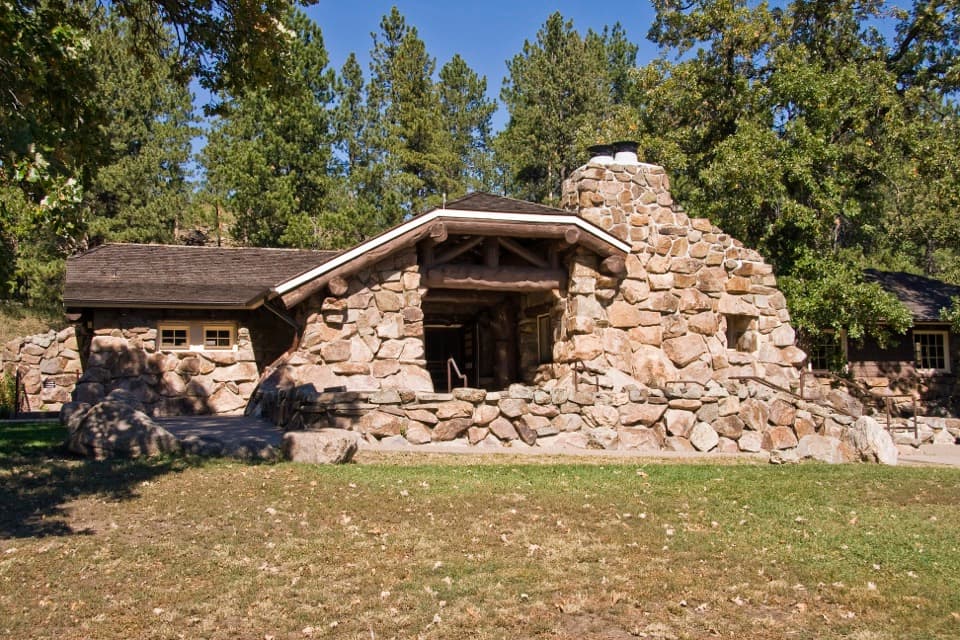 Sight · 0.1 mi awayPeter Norbeck Outdoor Education CenterHands-on nature exhibits lead straight to open-ended outdoor play.
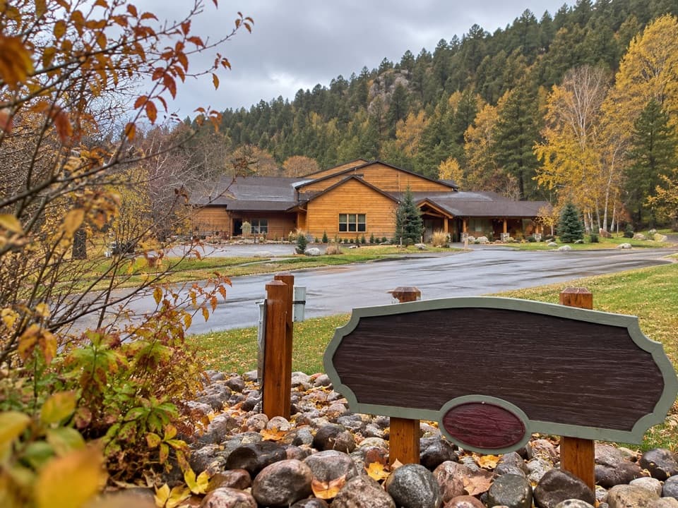 Lodging · 0.2 mi awayCreekside LodgeRoomy suites and a paved creekside trail, right in the park.
 Store · 0.3 mi awayCoolidge General StoreA former Coolidge staff house with pizza, malts, and useful supplies.
 Campground · 0.5 mi awayGame Lodge CampgroundA central base near Wildlife Loop Road and State Game Lodge.
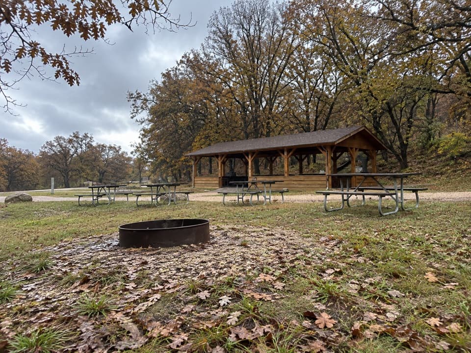 Campground · 0.6 mi awayCalvin Coolidge Group AreaFive electric sites share a shelter and central fire ring.
 Picnic area · 0.8 mi awayEllerton Picnic AreaA shaded picnic stop beside Wildlife Loop Road's visitor-center junction.
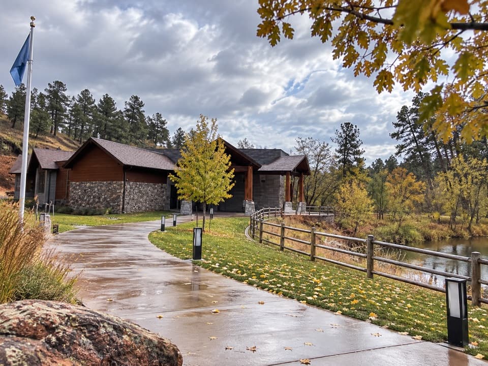 Visitor center · 0.8 mi awayCuster State Park Visitor CenterGet oriented before the wildlife drive; ask where bison are moving.
Parkwolf’s Custer ranking
The audio tour guide for the drive, plus offline maps, trails, and wildlife heatmaps for when the signal drops.