
Place
Easy
This is the park’s classic creekside amble: a mostly easy out-and-back that hugs Grace Coolidge Creek from the Grace Coolidge Campground area on Hwy 16A to Center Lake. Plan on about 5.8 miles total, with gentle grades, constant water sound, and plenty of places to stop. It’s popular for families and anglers, and it stays interesting thanks to frequent water interactions—expect roughly 16 creek crossings along the way.
The character is cool, green, and relaxed. Bur oak, ponderosa pine, and aspen line a narrow valley while the creek slips through pools created by low dams that are routinely stocked with trout. You might spot deer, birds, and the occasional snake. Most of the tread is dirt and grass with some rocky bits, and the northern end adds a moderate hill before you reach Center Lake’s beach and picnic area.
About those crossings: in lower flows you can rock-hop or use logs; after rain or in spring, assume wet feet. Waterproof shoes or sandals with good traction make this trail go from “fussy” to “fun.” Kids tend to love the crossings; just keep an eye on them near the water. Dogs are allowed on leash—consider how they handle repeated wades.
If you’re into fishing, bring a rod. The walk-in corridor gives near-continuous access to creek pools. If you’re here just to stroll, the shady valley is a mellow counterpoint to the park’s granite high country, and Center Lake is a great turnaround with swimming and picnic options. Total elevation gain is modest (around a couple hundred feet), but that north-end climb can surprise anyone expecting pancake-flat.
Tips: Start from the south trailhead across from Grace Coolidge Campground for the easiest warm-up, and budget around 3 hours for the full out-and-back—not counting fishing or lake time. Footing on rocks and logs can be slick, especially after rain. In winter, access can be limited by snow or closures—check conditions if you’re visiting outside the main season.
Best time to hike: Late spring through fall is the sweet spot, with April–October offering the best conditions. Fall colors in the creek corridor can be excellent, and mid-mornings on weekdays are typically quieter. After storms or during runoff, crossings are higher and slower—plan accordingly.
Park at the south trailhead along Hwy 16A across from Grace Coolidge Campground, or at the north end by the swimming beach at Center Lake.
Expect 16 creek crossings with slick rocks/logs and variable water levels; keep kids and dogs close. Winter access may be limited by snow or closures.
Place
Place
Place
Place
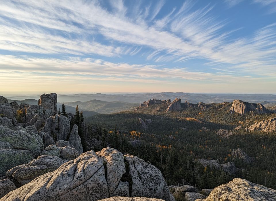
Moderate
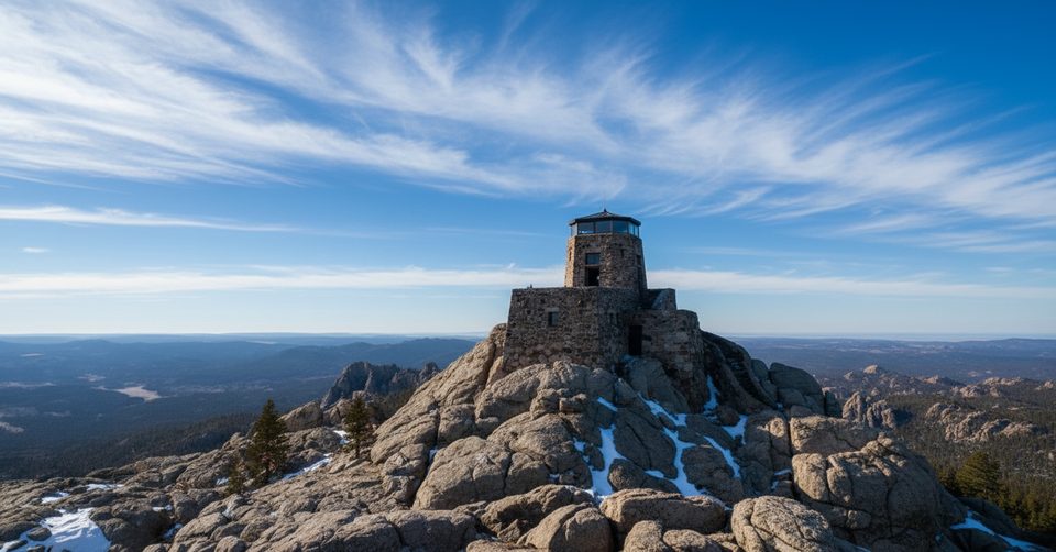
Challenging
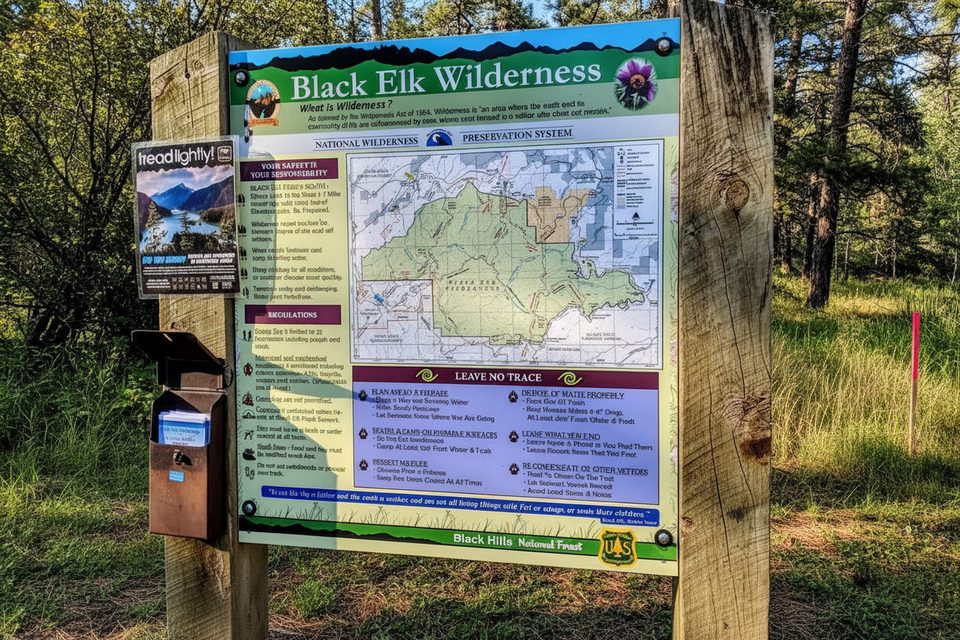
Moderate
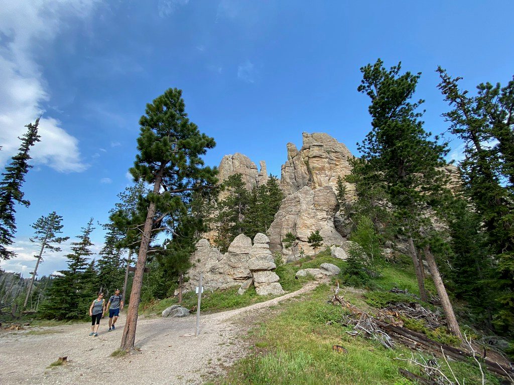
Moderate

Parkwolf Tour Guide
