Parking
Use the limited roadside pull-off at the signed Cathedral Spires trailhead on the Needles Highway hairpin, about a mile east of Needles Eye Tunnel. Park admission is required.
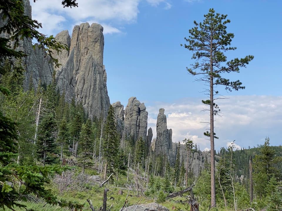
#2 of 40 trails in Custer
Custer State Park, SD
Walk into a granite basin after a short, steep climb.
Overview
Map & elevation
Plan your hike

The highest, rockiest slopes around here are a summer buffet for grizzly bears.
Custer Tour Guide
Parkwolf is a GPS audio tour guide for Custer State Park. As you drive, it chimes in with what’s ahead: hidden gems, upcoming stops, history, geology, and wildlife, right through your car’s speakers.
See the Custer audio tourRecorded for this trailhead
Cathedral Spires: Roadside or on Foot“You're nearing the Cathedral Spires area, named for granite pillars that resemble a row of organ pipes. For a quick look, choose the roadside viewing pullout, where the towers rise above a pine-covered valley.”
Plays as you drive up to this trailhead in the Parkwolf Custer Tour Guide.
More stories near here in the app
“We recently toured Badlands, Custer State Park, Mount Rushmore and more! We learned so much from this app as we toured each of these sites. The audio tours are worth the money.”


Trail guide
Cathedral Spires Trail is a 1.2-mile out-and-back from the Needles Highway hairpin into a basin ringed by granite pinnacles. The current signed route usually takes one to two hours. Most of the walk is a forest approach; the last stretch climbs steeply over boulders into the spires. An older 2.3-mile figure also circulates, but it does not match the shorter, currently mapped trail to the basin.
The first part is mostly gentle walking through ponderosa pine and spruce, with the rock towers coming into view between the trees. Switchbacks lead toward the final, much steeper section. Expect large, uneven boulders underfoot and take your time here. Follow the trail markers: the paths connect into longer hikes near the basin.
The payoff is getting close to the tall, narrow rock pillars rather than viewing them only from the highway. They were shaped by erosion over millions of years and are protected as a National Natural Landmark. Their organ-pipe profile is what gave the Cathedral Spires their name. Late-afternoon light brings out the texture in the granite.
The Cathedral Spires route meets Black Elk Trail #4 and the Little Devils Tower trail. Those connections make longer outings possible, but they are extensions, not part of this short basin hike. For the route described here, turn around at the marked junction and return the way you came.
Start at the signed pull-off on Needles Highway at the sharp hairpin, about a mile east of Needles Eye Tunnel. Parking is limited. Park admission is required. Dogs are allowed in the park on a leash no longer than 10 feet.
Wildlife
 993 sightingsBisonMost seen around 7 AMSighting map
 91 sightingsWapitiMost seen around 6 AMSighting map
 260 sightingsBighorn SheepMost seen around 7 AMSighting map
 85 sightingsMountain GoatMost seen around 7 AMSighting map
 259 sightingsBurroMost seen around 6 PMSighting map
 711 sightingsPronghornMost seen around 6 AMSighting map
Sighting maps show where each species has been reported across Custer. Wildlife moves, so no sighting is guaranteed.
Keep exploring
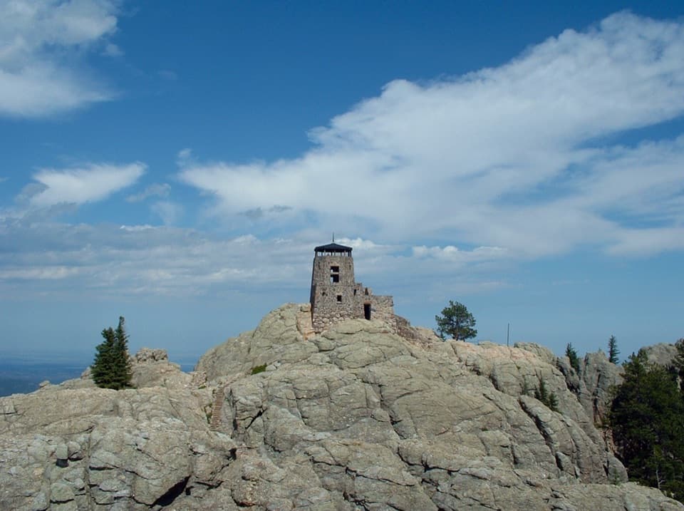 ChallengingBlack Elk Peak Trail #46.5 mi · 5 hr · 0.9 mi awayA rougher approach to South Dakota’s historic fire tower.
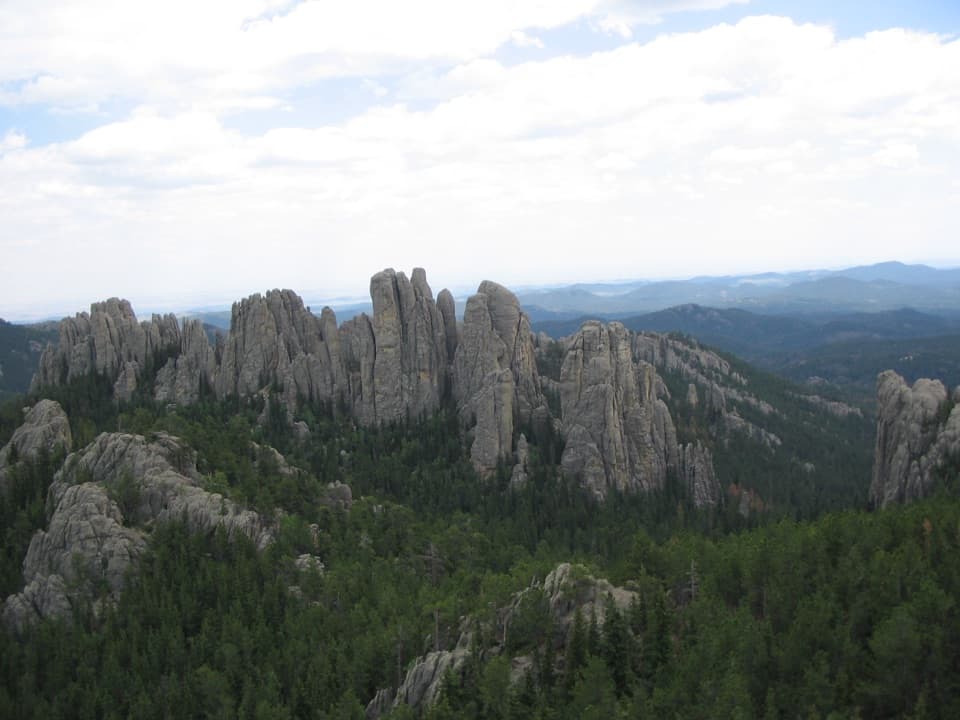 ChallengingLittle Devils Tower Trail3 mi · 3 hr · 0.9 mi awayGranite chimneys lead to a summit view that earns the scramble.
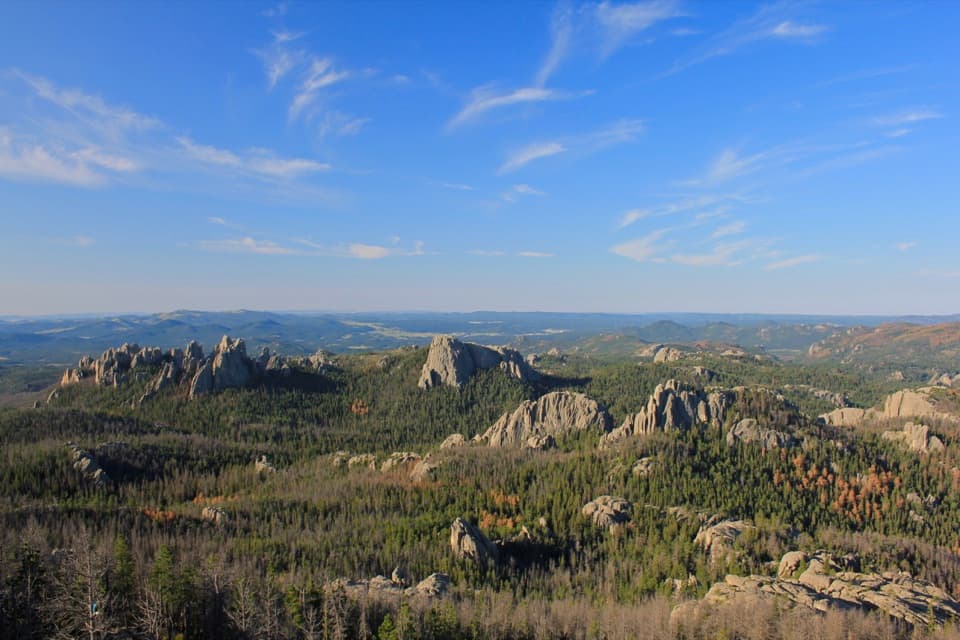 ChallengingBlack Elk Peak Loop7.1 mi · 4 hr · 1.3 mi awayA 7.1-mile summit loop climbs Trail #4 and returns on #9.
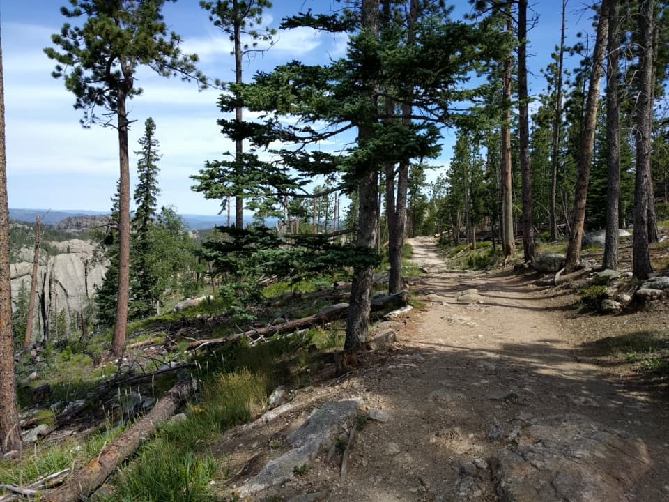 ChallengingBlack Elk Peak Trail #9 South6.6 mi · 4 hr · 1.3 mi awayA rugged climb to South Dakota’s high point and stone lookout.
 ModerateSylvan Lake Shore Trail1 mi · 1 hr · 1.3 mi awayA one-mile lake loop shifts from boardwalk to rocky granite passages.
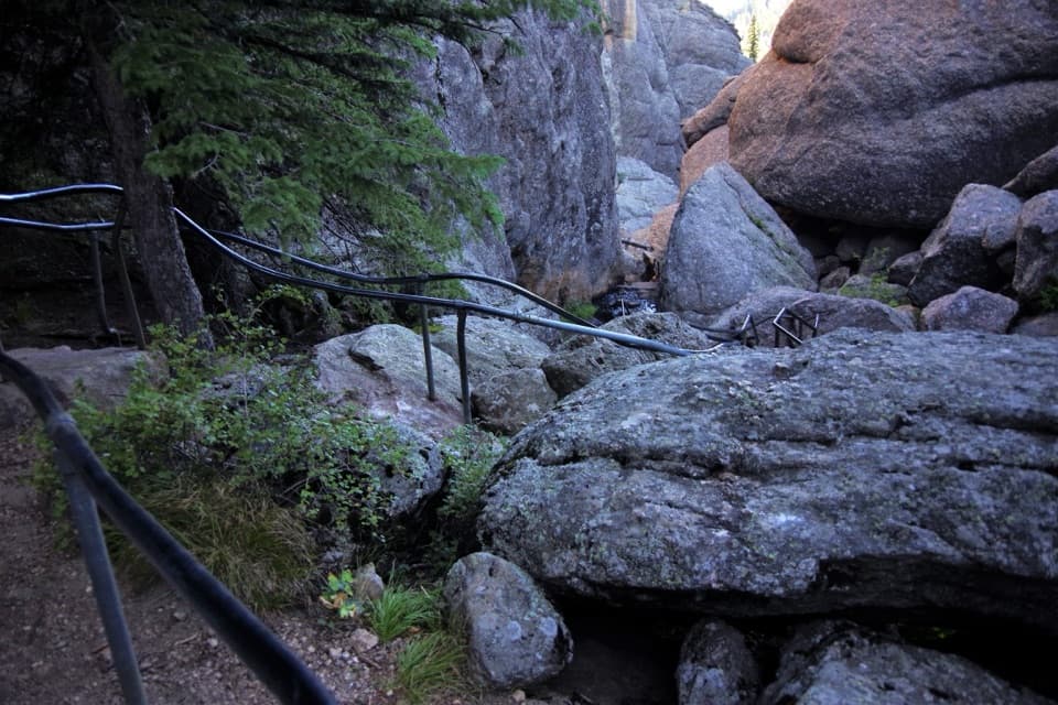 ChallengingSunday Gulch Trail3 mi · 3 hr · 1.6 mi awayA strenuous boulder scramble through a cool, wet granite gulch.ChallengingBlack Elk Peak Loop via Lost Cabin and Trail #9 North13.6 mi · 8.5 hr · 3.2 mi awayA rugged full-day loop to Black Elk Peak’s stone fire lookout.
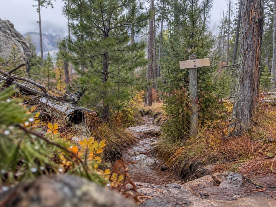 ChallengingNorbeck Trail #312.6 mi · 7.5 hr · 3.3 mi awayCreekside miles turn into a steep, rocky wilderness climb.
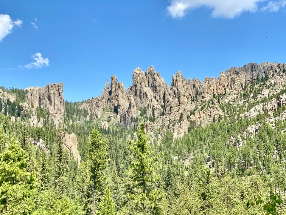 Scenic pullout · 0.2 mi awayCathedral Spires PulloutA roadside pause for the Needles' jagged granite skyline.
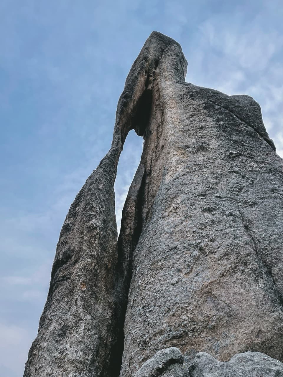 Sight · 0.5 mi awayNeedle’s EyeA granite spire’s tiny eye beside a narrow tunnel.
 Campground · 1.1 mi awaySylvan Lake CampgroundA compact base camp a short stroll from Sylvan Lake.Sight · 1.3 mi awaySylvan LakeGranite towers and still water, with a one-mile shore loop.
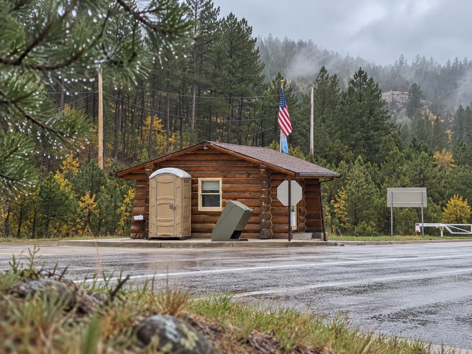 Entrance station · 1.4 mi awaySylvan Lake Entrance StationThe gateway to the Sylvan Lake and Needles Highway approach.
 Store · 1.4 mi awaySylvan Lake General Store & EateryA quick bite, lake gear and boat rentals beside Sylvan Lake.
 Lodging · 1.6 mi awaySylvan Lake LodgeA 1937 stone-and-pine lodge above Sylvan Lake.Sight · 1.7 mi awayBlack Elk PeakA historic stone lookout crowns South Dakota's highest summit.
Parkwolf’s Custer ranking

The audio tour guide for the drive, plus offline maps, trails, and wildlife heatmaps for when the signal drops.