
Place
Challenging
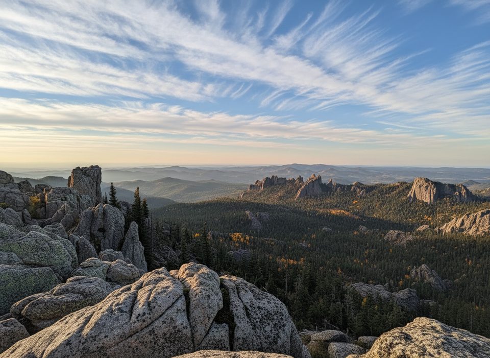
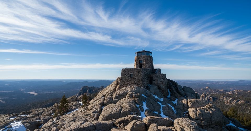
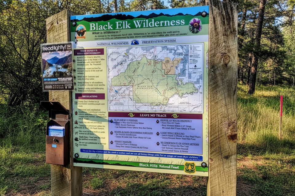
Norbeck Trail #3 is the quieter, wilder way to work your way toward the high country by Black Elk Peak. It travels through open pine forest and rugged granite country, slipping from Custer State Park into the Black Elk Wilderness. Expect sweeping Black Hills vistas, striking rock outcrops, and—if you continue via Trail 9—the historic stone fire tower crowning Black Elk Peak.
It’s roughly 6.3 miles one way from Iron Creek Horse Camp to the junction with Trail 9 near Black Elk Peak. Treat it as a point‑to‑point, an out‑and‑back (12.6 miles total), or link it into a bigger loop with Grizzly Bear Creek Trail #7. Elevation gain stacks up gradually at first, then more firmly near the peak area with switchbacks and steeper grades.
Overall difficulty lands in the moderate-to-strenuous range (think 6–7/10), with the hard work clustered near the upper reaches. Navigation isn’t always intuitive: junction signage can be inconsistent and Trail 3 isn’t perfectly marked in spots. Key tip: stay left at the Grizzly Bear Creek (Trail #7) intersection to remain on Trail 3. Parts of the corridor show pine beetle impacts—more downed pines mean more sun exposure and less shade. Bring a map or GPS and plenty of water; there are limited water sources along the route.
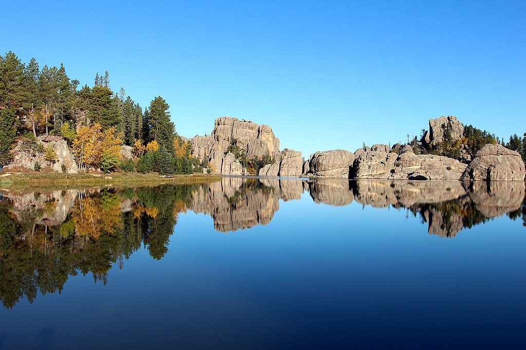
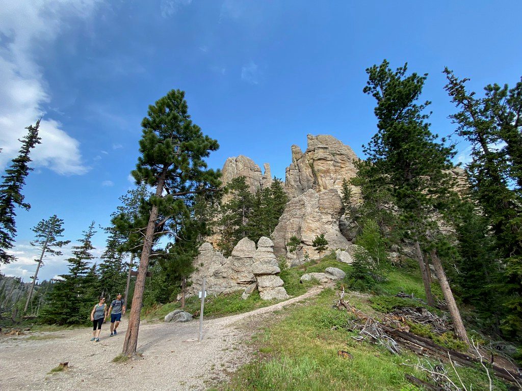
You’ll pass through classic Black Hills terrain: open ponderosa forest, granite spires and slabs, and long views to distant ridgelines. Those granite formations are part of the ancient Black Hills uplift—keep an eye out for the dramatic, weathered textures as you gain elevation. Wildlife sightings can include deer, chipmunks, and, in the high country, the occasional mountain goat.
Late spring through early fall is the sweet spot. Summer brings heat to the exposed upper sections—start early and pack sun protection. Fall cools things off and adds color. If you plan to tag Black Elk Peak via Trail 9, start at dawn to beat the summit crowds and get the best light across the granite.
Park at Iron Creek Horse Camp to start; the route also connects from the Norbeck Trailhead within the park.
Navigation can be confusing at junctions (stay left at Trail #7). Expect sun exposure, limited water, and steeper switchbacks near the top. Pets are not permitted in the Black Elk Wilderness. Weather changes quickly at higher elevations.
Place
Place
Place
Place
Moderate
Challenging
Moderate
Moderate

Parkwolf Tour Guide
