
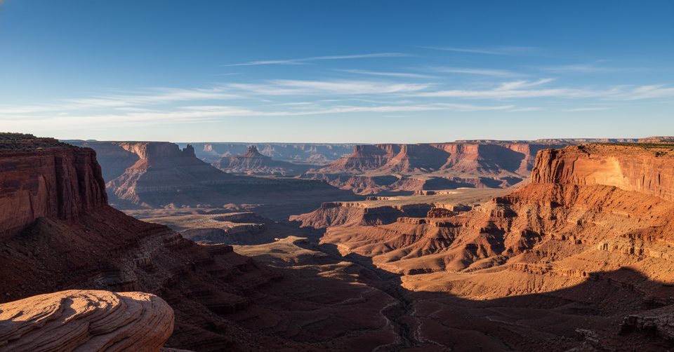
Place · 0.5 mi away
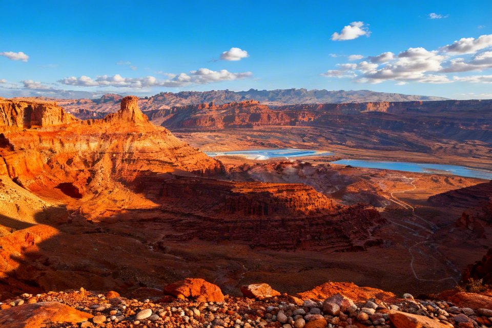
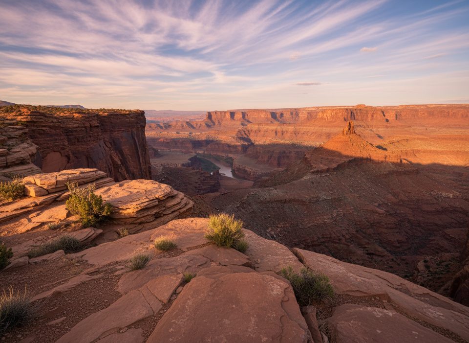
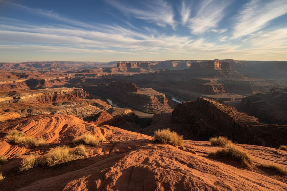
This is a simple, scenic perch along the park’s East Rim Trail system—sometimes labeled as “Rim Overlook” on maps. It trades crowds for quiet and gives you the classic Colorado River canyon panorama without the bustle of the main point.
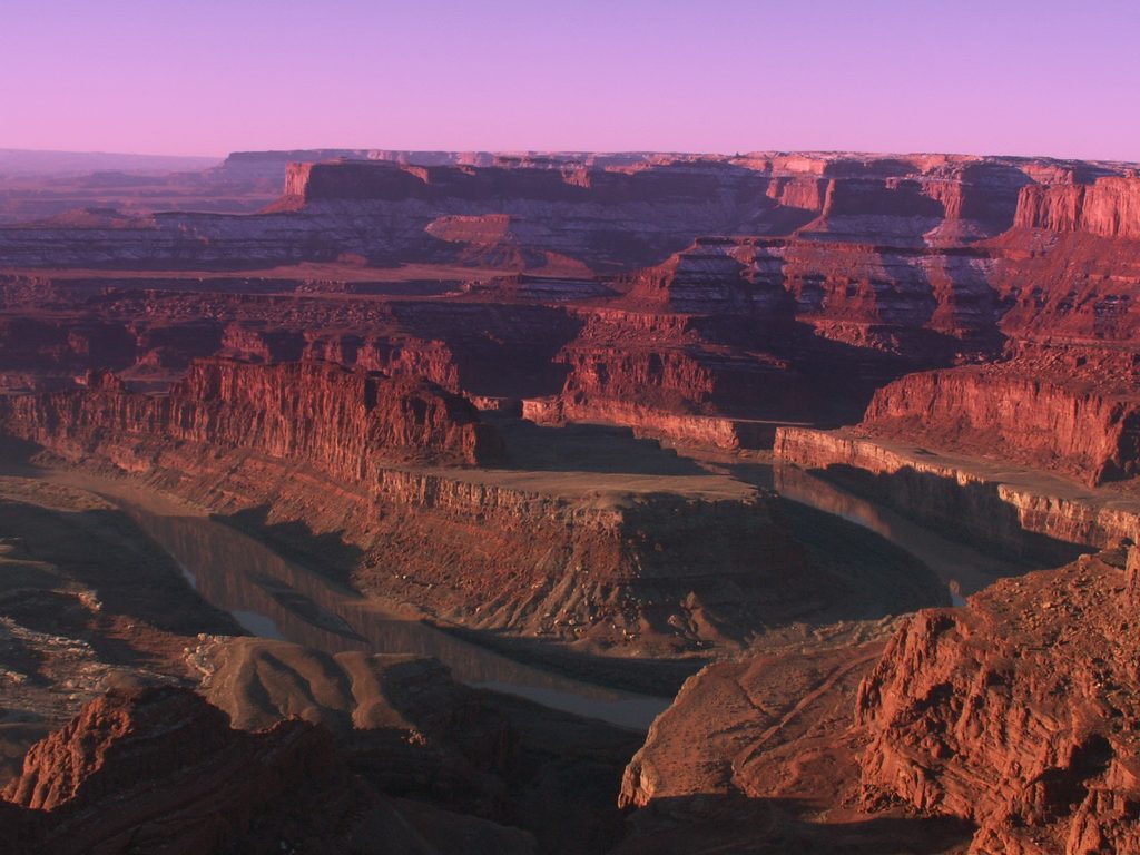
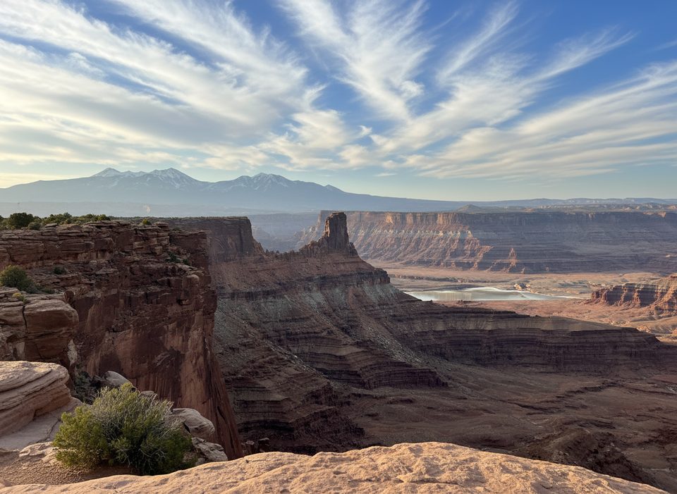
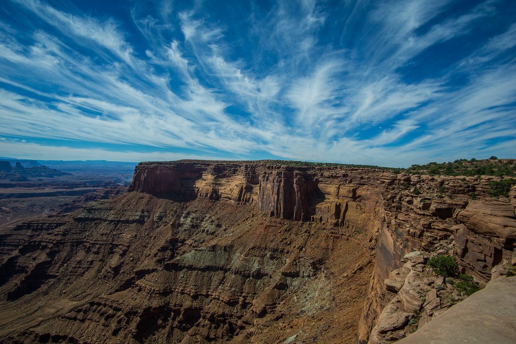
Expect sweeping red-rock canyons dropping thousands of feet, meandering river bends, and, on clear days, a La Sal Mountains backdrop. The wide-open sky makes sunrise and sunset especially dramatic.
There’s no drive-up access here—reach it via the East Rim Trail network. Most people start from established parking near the Visitor Center or the main point; another option noted by the park is connecting from the mountain biking lot via the Hi Ho Trail. A Utah State Parks day pass is required to enter the park.
It’s all about the view: a minimalist overlook on uneven slickrock with no amenities. The vibe is peaceful and remote compared to the headline overlook, so you can linger and frame shots without jockeying for rail space.
The quieter East Rim can reward patient eyes: look for birds of prey riding thermals, lizards warming on the rock, and small mammals moving among the piñon-juniper pockets.
Sunrise and sunset bring the best light and color. Weekdays are typically calmer than weekends, and this spot tends to stay less busy than the main overlook at most times of day. In hot months, aim for early or late to avoid the heat.
There’s no water, restrooms, or shade at the overlook—bring plenty of water and sun protection. Trails in the far east rim area can feel remote, with sparse markers and spotty or absent cell service, so download maps and pay attention to cairns and signage.
Place · 0.5 mi away
Place · 0.5 mi away
Place · 0.6 mi away
Place · 0.6 mi away
Easy · 0.5 mi away
Easy · 0.7 mi away
Easy · 1.4 mi away
Easy · 1.6 mi away

Parkwolf Tour Guide
