
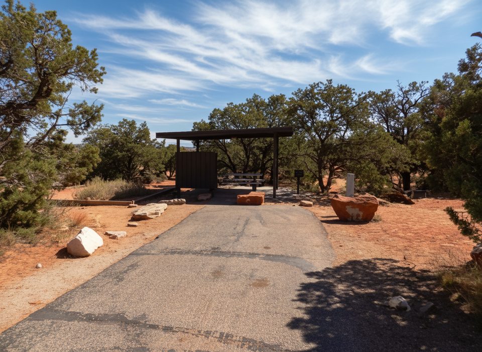
Place · 0.3 mi away
Easy
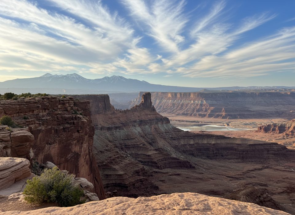
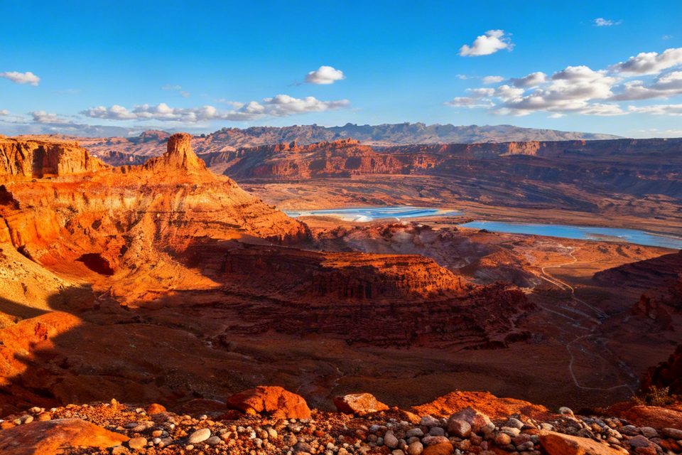
The Intrepid Trail is the gateway loop of Dead Horse Point’s single-track network, offering roughly **10 miles** of smooth, mostly flat riding and hiking on packed dirt and slickrock. Designed as an introduction to the area’s terrain, it strings together the Intrepid, Raven Roll, Great Pyramid and other short segments into one continuous **counter-clockwise loop**—though signs let you pedal or walk it either direction.
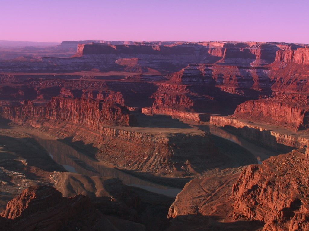
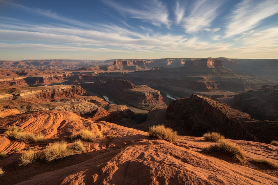
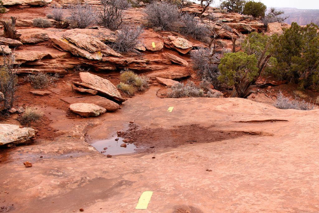
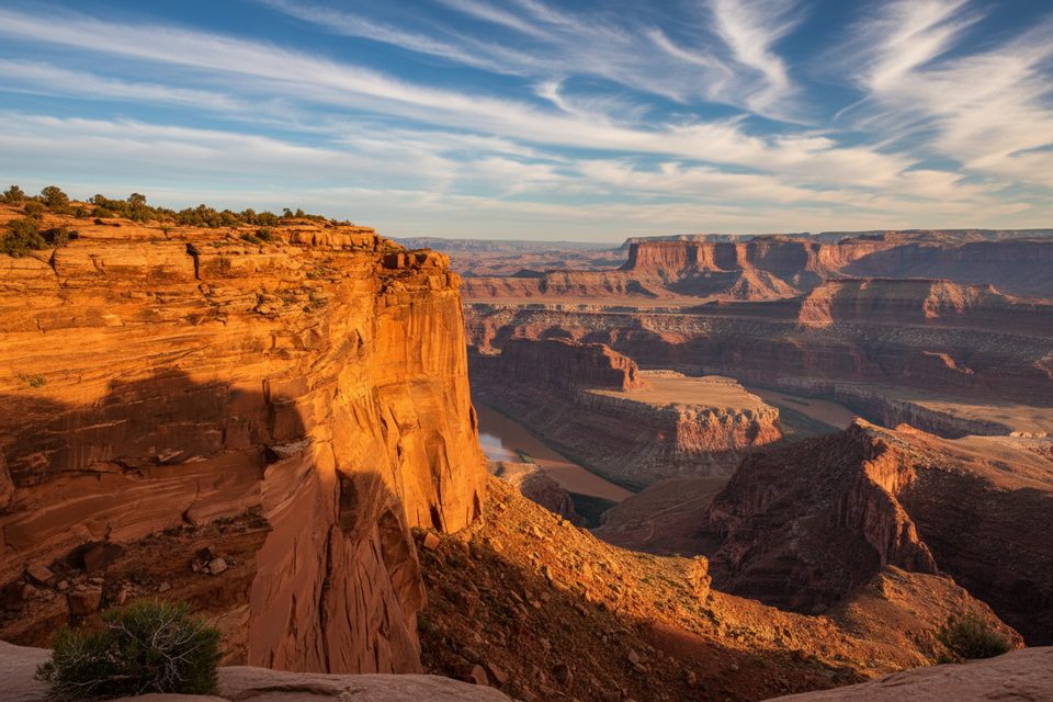
Expect narrow, well-marked singletrack that rarely feels exposed yet runs alarmingly close to the sheer canyon rim. Juniper, pinyon and open slickrock alternate beneath your feet, with quick detours to overlooks of the Colorado River far below. Elevation change is modest (±600 ft total), so the main challenge is the desert sun, not the grade.
Newer riders, mixed-skill families and hikers who want canyon vistas **without committing to a brutal climb** will have a blast. Veterans can still enjoy the flowy tread—just link outer loops like Big Chief or Whiptail for extra distance.
Worth it? If you crave technical slickrock, look elsewhere; but for easy mileage plus blockbuster views, this is a sure thing.
Park at the main lot just southwest of the Visitor Center; trailhead kiosks and maps are 50 yd from the curb.
Carry water and sun protection; desert rescues are common. Watch for riders coming the opposite way on blind slickrock corners.
Place · 0.3 mi away
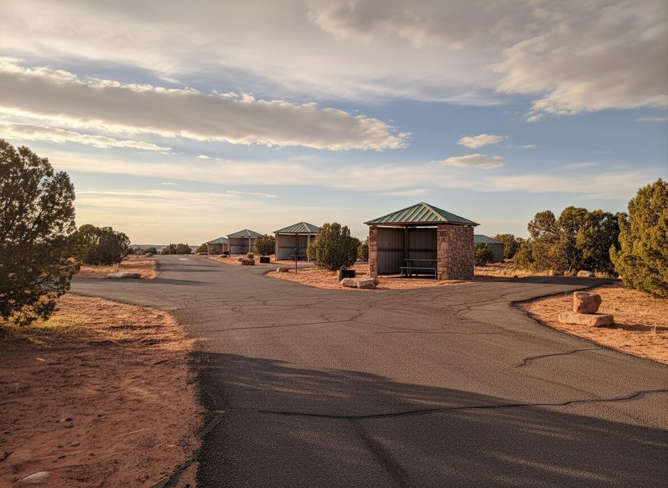
Place · 0.5 mi away
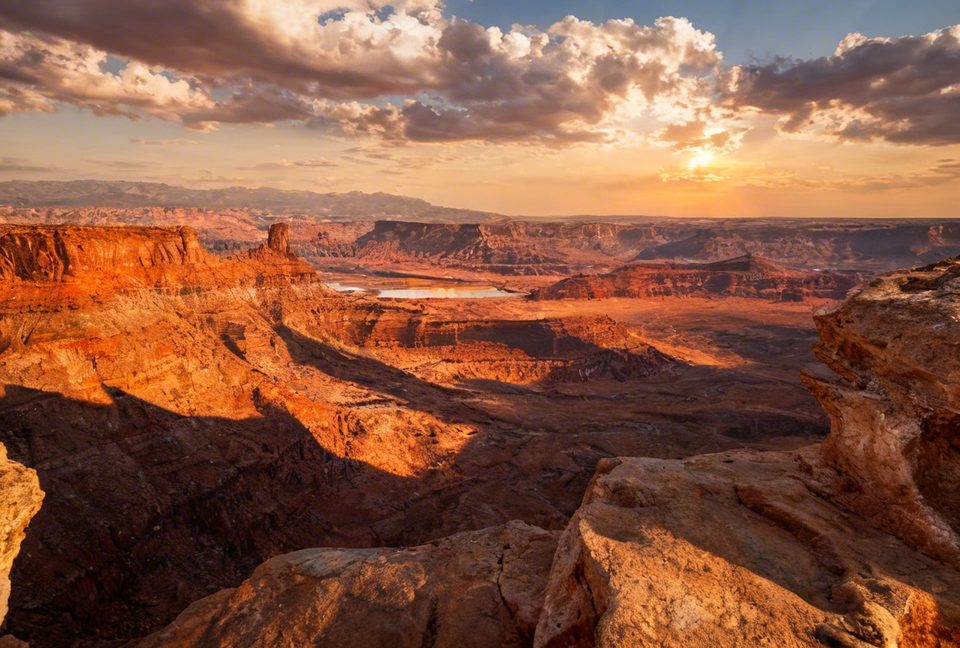
Place · 0.6 mi away
Place · 0.7 mi away
Easy · 0.8 mi away
Easy · 1.2 mi away
Easy · 1.2 mi away
Easy · 1.2 mi away

Parkwolf Tour Guide
