Know the campground rules
Dogs must stay leashed and attended outdoors. Each site is limited to eight people and one camping unit. Kayenta is a separate, smaller campground from Wingate, which has its own RV sites and yurts.
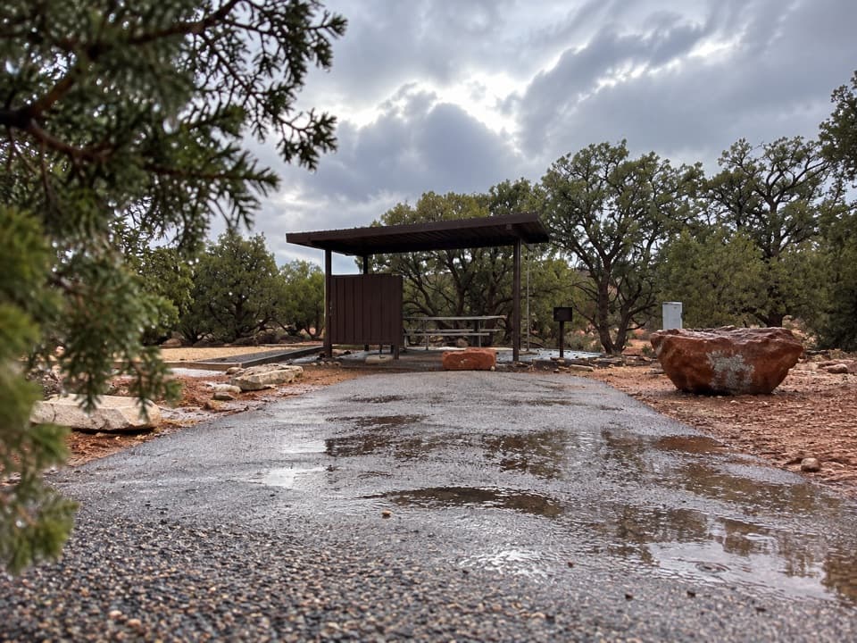
Campground · Dead Horse Point State Park
Juniper shade gives this small campground a tucked-in feel.
Overview
Map
Plan your stop

The highest, rockiest slopes around here are a summer buffet for grizzly bears.
Dead Horse Point Tour Guide
Parkwolf is a GPS audio tour guide for Dead Horse Point State Park. As you drive, it chimes in with what’s ahead: hidden gems, upcoming stops, history, geology, and wildlife, right through your car’s speakers.
Recorded for this place
Kayenta Campground“Kayenta Campground is coming up, a small loop where junipers and shrubs screen many of the sites. Campers have electric hookups and direct trail connections to the West Rim and visitor center.”
Plays as you drive up to Kayenta Campground in the Parkwolf Dead Horse Point Tour Guide.
More stories near here in the app
“Fantastic app with many points of information… It’s great to just turn on while you’re driving and it gives you an audio tour of the national Park. We love it!!!!”


Guide
Kayenta is a 21-site campground in the juniper grove at Dead Horse Point State Park. Tents and RVs fit here, and every site has 20-, 30- and 50-amp electrical hookups, a tent pad, a fire ring, a picnic table and a lighted shade shelter; modern restrooms serve the loop. Kayenta is the park's older, more closely spaced campground, but tall junipers and shrubs screen many neighboring sites. Check the campground map if your RV needs a particular pad size.
There is no RV tank-fill water anywhere in the park, so arrive with full tanks. Bring drinking water and food for your stay. Fires belong in the established fire rings, and gathering wood from the park is prohibited.
Trails lead directly from Kayenta toward the West Rim Trail, Wingate Campground and the Visitor Center. A partial canyon view is visible from the North Rim side of the loop, but you should not expect that view from every site.
Wildlife
 33 sightingsRavenMost seen around 6 PMSighting map
 16 sightingsWhiptail LizardMost seen around 10 AMSighting map
 34 sightingsFence LizardMost seen around 8 AMSighting map
 42 sightingsSide-blotched LizardMost seen around 9 AMSighting map
Sighting maps show where each species has been reported across Dead Horse Point. Wildlife moves, so no sighting is guaranteed.
Keep exploring
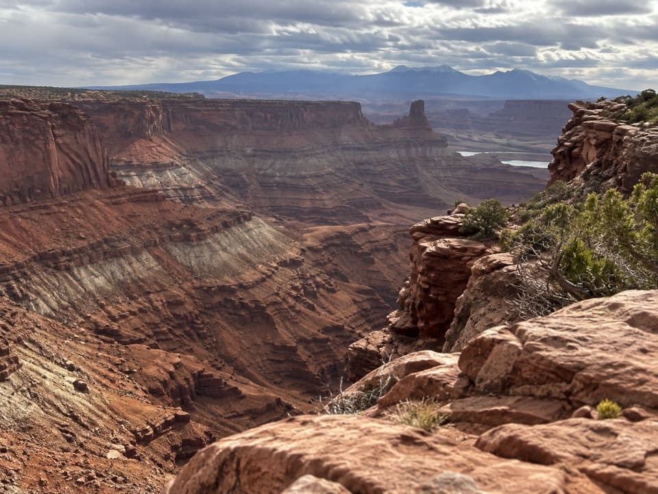 ModerateBighorn Overlook Trail3 mi · 2 hr · 0.2 mi awayCairns lead to deep potholes and a distant horn-shaped fin.
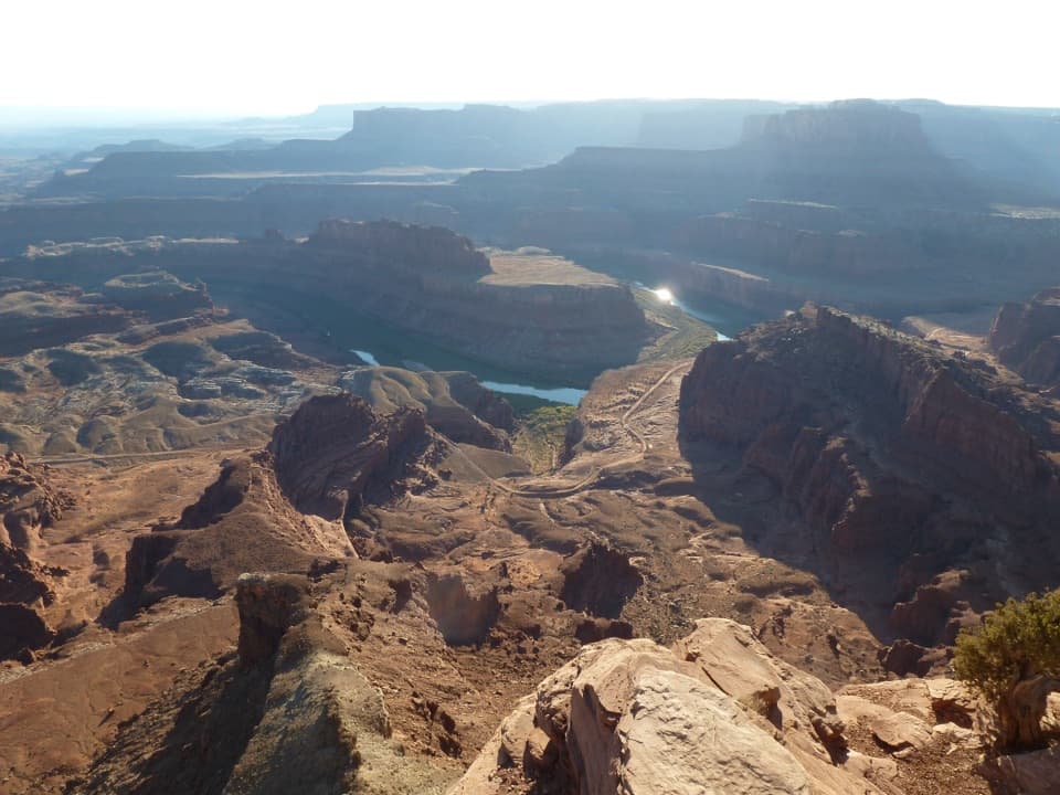 ModerateWest Rim Trail2.9 mi · 1.8 hr · 0.2 mi awayCairn-marked slickrock ends above the Colorado River.
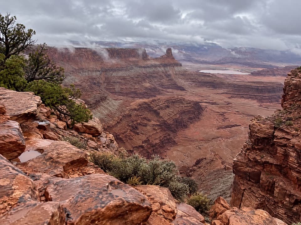 ModerateShafer Canyon Overlook Trail3.3 mi · 2 hr · 0.2 mi awayCairned slickrock leads to a first glimpse of the Colorado River.
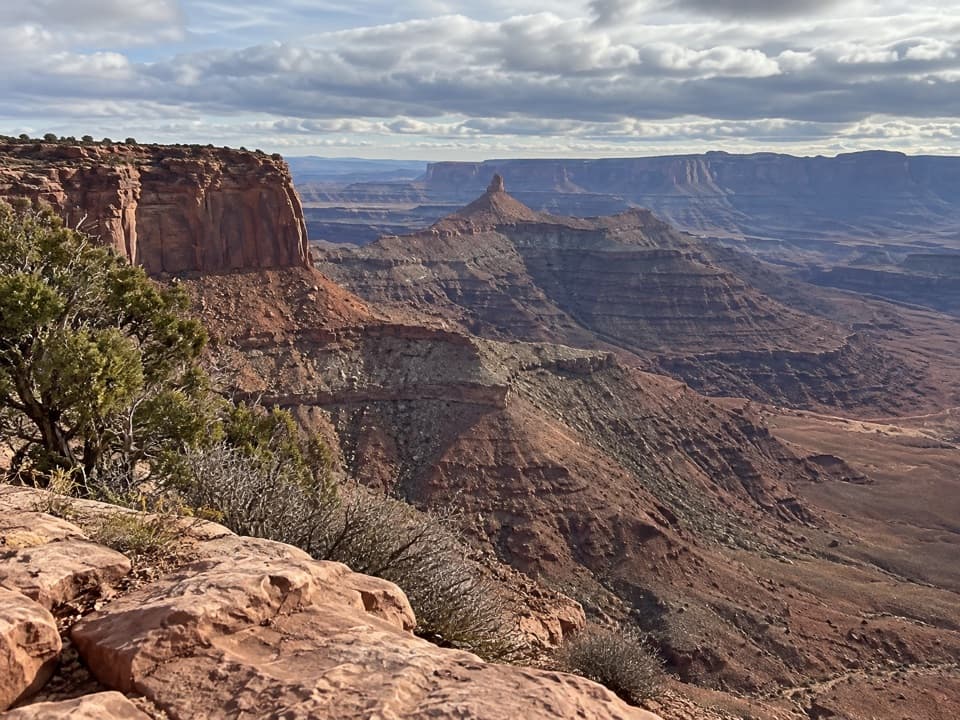 EasyRim Overlook Trail2 mi · 1.5 hr · 0.2 mi awayA 2-mile out-and-back to a shelf above Shafer Canyon.
 EasyDesert View Overlook Trail1 mi · 36 min · 0.2 mi awayAn easy rim walk to potholes and Colorado River views.
 ModerateEast and West Rim Loop4.4 mi · 4 hr · 0.2 mi awayThe 4.4-mile loop links both rims at Dead Horse Point.
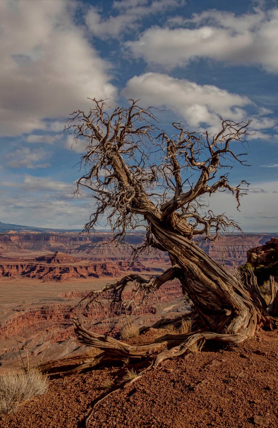 EasyEast Rim Trail to Dead Horse Point1.7 mi · 1 hr · 0.2 mi awayEasy rim walking ends above the Colorado River canyon.
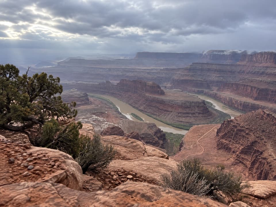 EasyBasin Overlook Trail1.6 mi · 45 min · 0.2 mi awayA short East Rim walk to a shelf above Pyramid Butte.
 Campground · 0.2 mi awayWingate Campground & YurtsPick from electric sites, walk-in tents, and four mesa-top yurts.
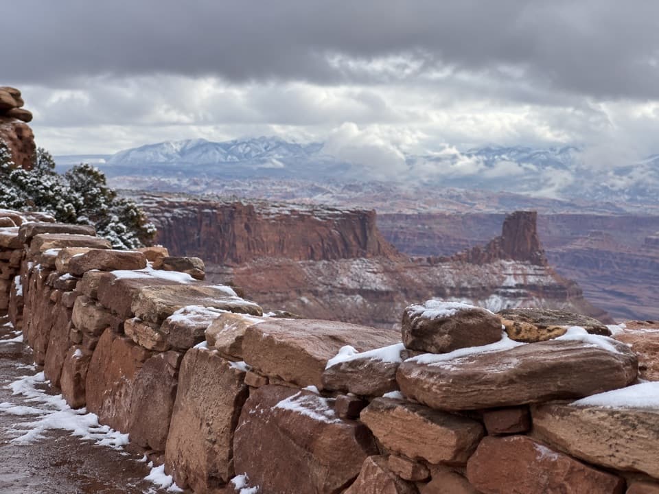 Food · 0.2 mi awayPony Expresso Coffee ShopA quick caffeine stop beside the visitor center, if still operating.
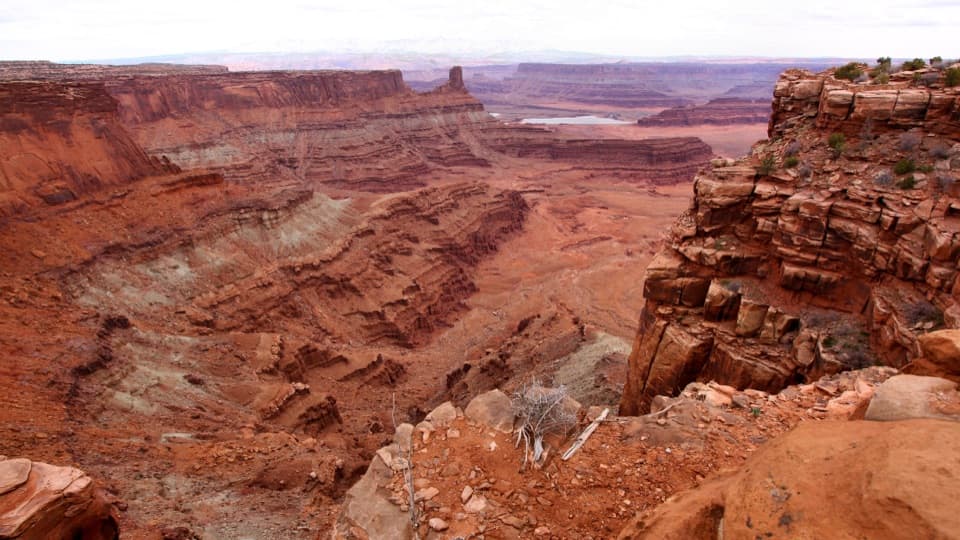 Visitor center · 0.2 mi awayDead Horse Point Visitor CenterA geology primer with a canyon view right outside.
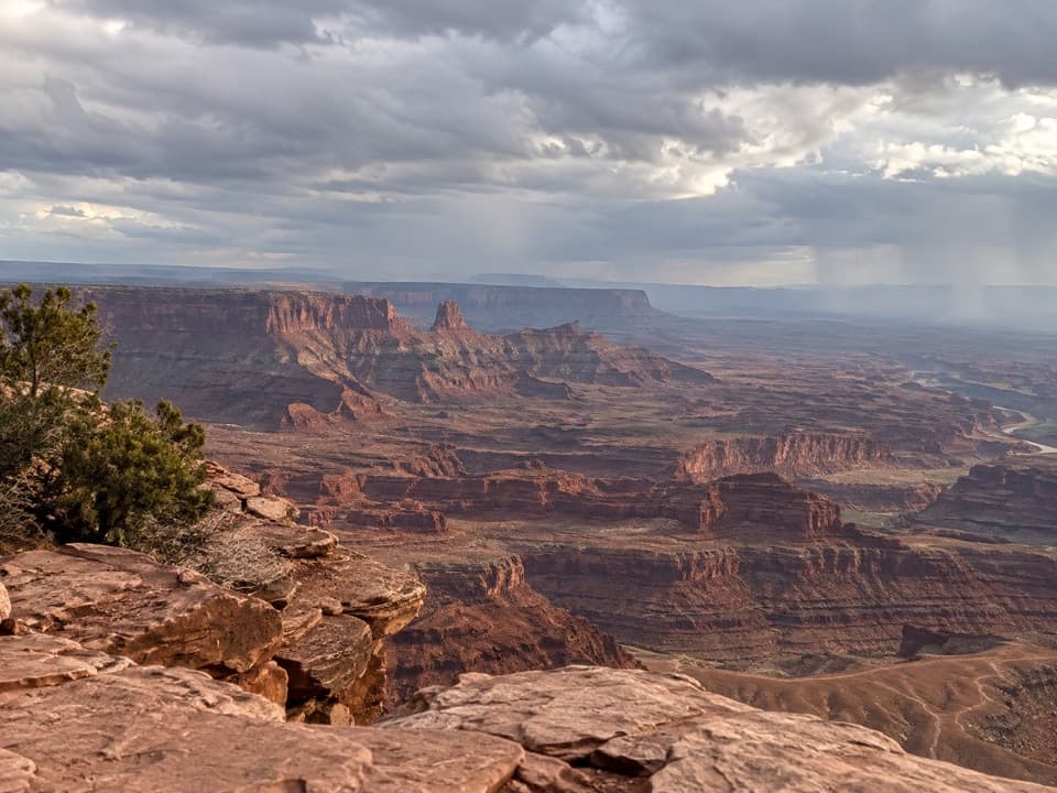 Sight · 0.6 mi awayBasin OverlookA quieter shelf for La Sal Mountains, canyon towers and mining ponds.
 Sight · 0.6 mi awayMeander OverlookA few steps off the trail for the river’s broad bend.
 Sight · 0.6 mi awayRim OverlookA West Rim spur for an eastward look into Canyonlands.
 Sight · 0.8 mi awayDesert View OverlookAn easy half-mile walk for canyon layers and a different rim view.
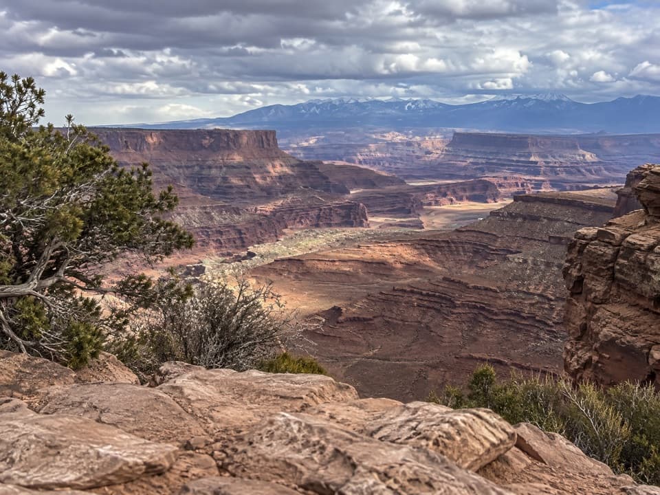 Sight · 0.8 mi awayShafer Canyon OverlookA West Rim spur opens onto Shafer Canyon above the river.
Parkwolf’s Dead Horse Point ranking

The audio tour guide for the drive, plus offline maps, trails, and wildlife heatmaps for when the signal drops.