Overview
About Big Horn Overlook
Why stop
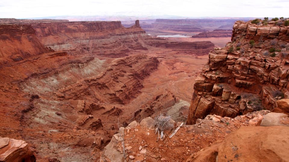
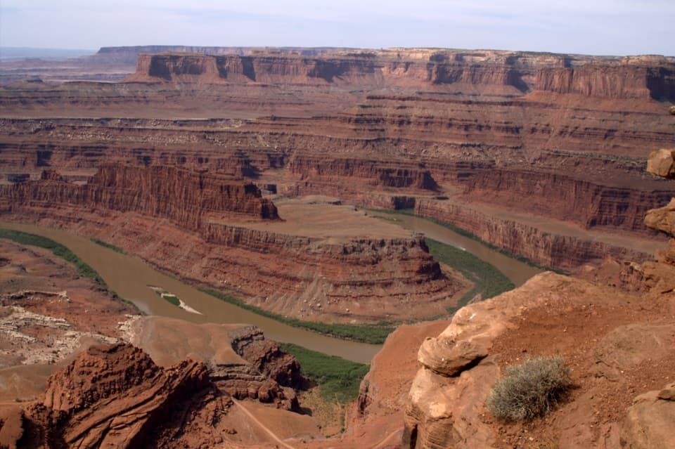
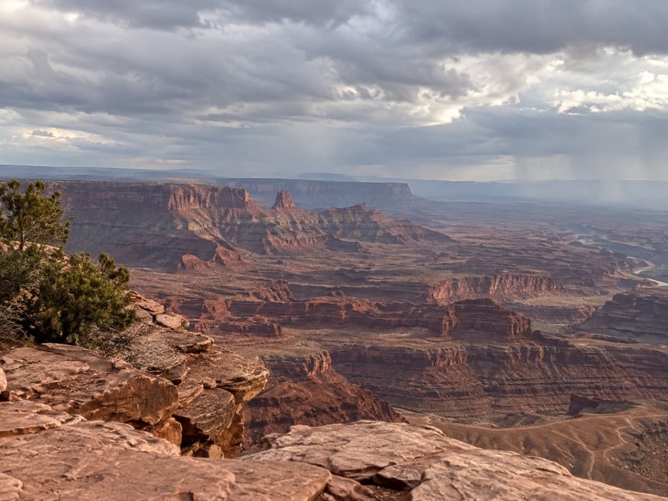
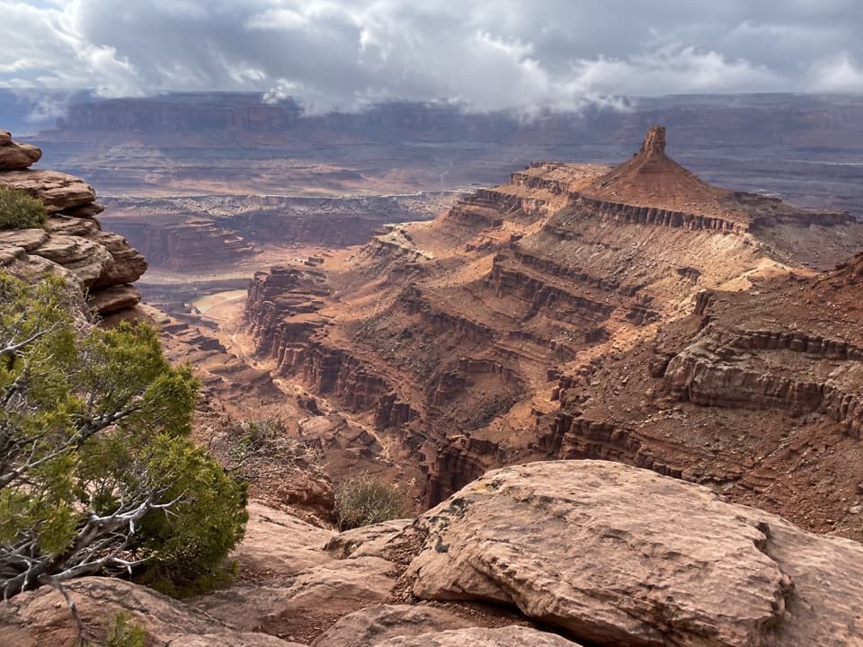
- A broad Shafer Canyon view with a distinctive horn-shaped fin in the distance.
Heads up
- The slickrock approach ends at an exposed, unguarded rim.
Map
Where it is

The highest, rockiest slopes around here are a summer buffet for grizzly bears.
Dead Horse Point Tour Guide
Your drive to Big Horn Overlook, narrated.
Parkwolf is a GPS audio tour guide for Dead Horse Point State Park. As you drive, it chimes in with what’s ahead: hidden gems, upcoming stops, history, geology, and wildlife, right through your car’s speakers.
Recorded for this place
Visitor Center Rim Trails“You're nearing the visitor center's rim-trail access, where the East and West Rim trails make a half-day loop to Dead Horse Point.”
Plays as you drive up to Big Horn Overlook in the Parkwolf Dead Horse Point Tour Guide.
More stories near here in the app
- Kayenta Campground
- Visitor Center and Desert View
- Wingate Campground and Yurts
- Intrepid Trailhead and Cable Line
- 11 audio storiesacross Dead Horse Point’s roads, triggered by GPS as you drive
- Wildlife heatmapsfor Raven, Whiptail Lizard, Fence Lizard, and 1 more
- Works offlinemaps, 21 trails, 22 places, and audio download before you lose signal
- CarPlay readysimple controls built for the drive
“Fantastic app with many points of information… It’s great to just turn on while you’re driving and it gives you an audio tour of the national Park. We love it!!!!”


Guide
More about Big Horn Overlook
A longer walk to another canyon viewBig Horn Overlook is a rocky viewpoint above the East Fork of Shafer Canyon, reached by a spur…
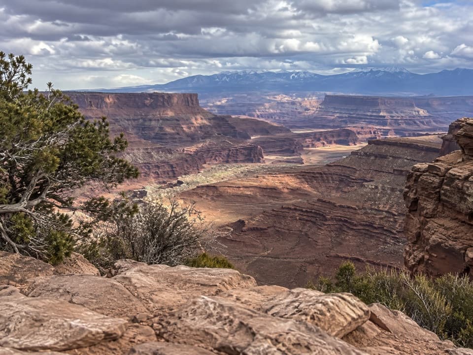
Big Horn Overlook is a rocky viewpoint above the East Fork of Shafer Canyon, reached by a spur off Dead Horse Point’s West Rim Trail. It trades a drive-up stop for a different angle into the canyon, with Canyonlands’ Island in the Sky beyond. From the Visitor Center, plan on roughly 3.1–3.4 miles round trip. The park’s 1.5 miles one way describes only the spur from its West Rim junction, not the full walk.
Follow the West Rim spurFrom the Visitor Center, the route crosses the park road, passes the north side of Kayenta…
From the Visitor Center, the route crosses the park road, passes the north side of Kayenta Campground, then branches northwest toward the overlook. It runs across piñon-juniper plateau, sandy red dirt, and cairn-marked slickrock. Short exposed sections lead to a rim with no guardrail; stay on the marked route and back from the edge. The uneven slickrock matters more than a mileage label.
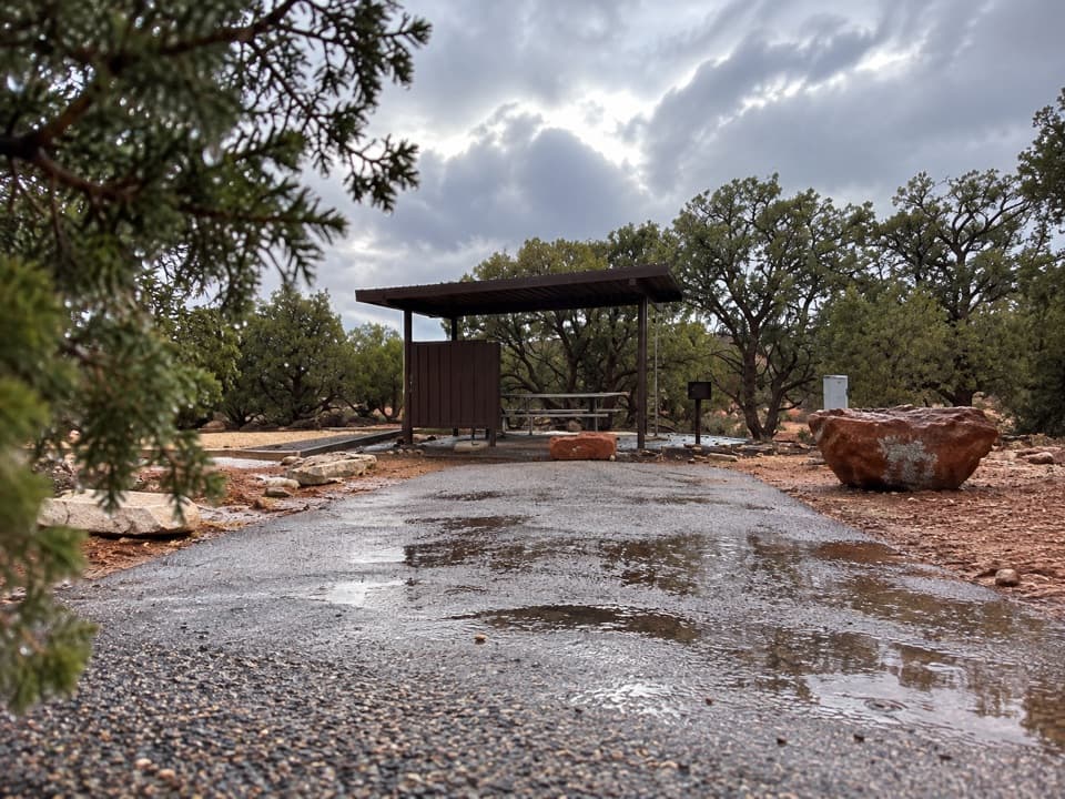
If you are not staying at Kayenta, use the Visitor Center as your start: visitor parking and restrooms are there, while campground parking is for campground users. No water refill along the spur was verified, so plan to carry what you need from the start. Dogs are allowed on park trails on leash.
The canyon and the hornThe viewpoint looks across the East Fork of Shafer Canyon toward Canyonlands’ Island in the Sky…
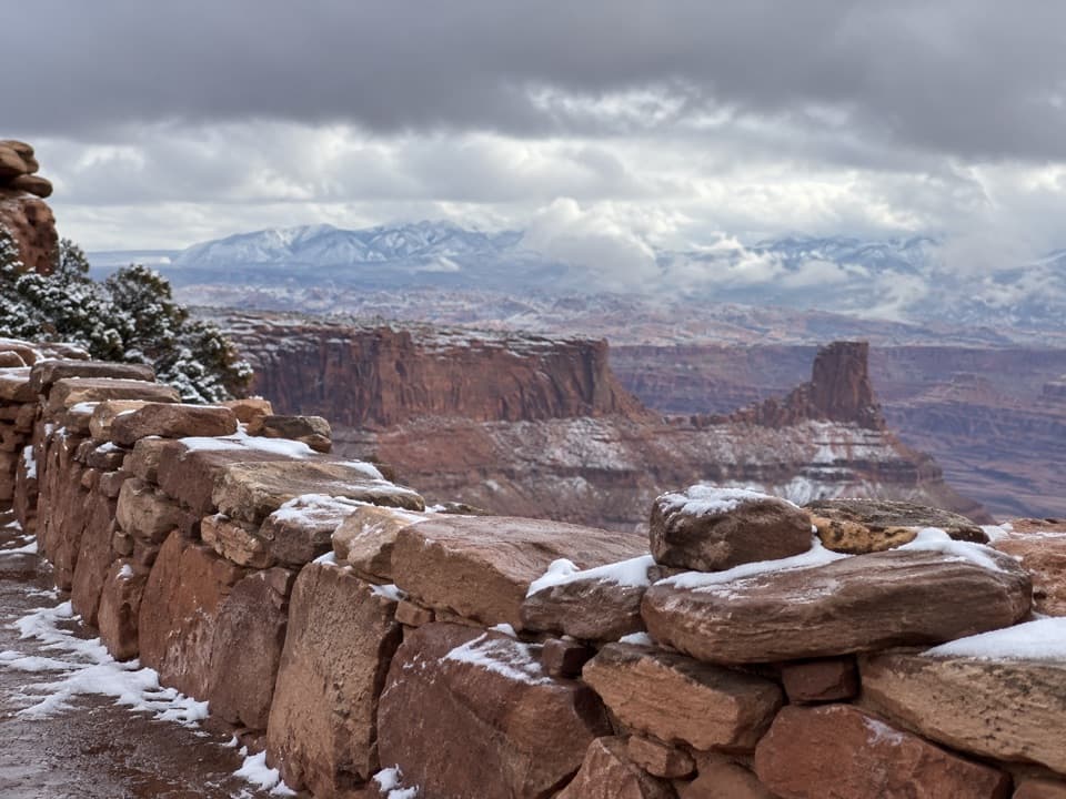
The viewpoint looks across the East Fork of Shafer Canyon toward Canyonlands’ Island in the Sky district. On the far side, the Shafer Trail road can be visible on a shelf of White Rim sandstone. The overlook takes its name from a distant eroded fin whose narrow ridge resembles a pair of horns. For a photo, keep that small fin in the broad, layered canyon view; a tight crop of the nearby cliffs loses the landmark that gives the overlook its name.
Potholes after rainDeep potholes dimple the slickrock at the overlook.
Deep potholes dimple the slickrock at the overlook. After rain, they can hold pools that support fairy shrimp, tadpoles, and other aquatic desert life, though the water and its tiny inhabitants are temporary. The wider park’s red-rock layers record sediment from ancient oceans, freshwater lakes, streams, and windblown dunes.
Wildlife
Wildlife in Dead Horse Point
 33 sightingsRavenMost seen around 6 PMSighting map
 16 sightingsWhiptail LizardMost seen around 10 AMSighting map
 34 sightingsFence LizardMost seen around 8 AMSighting map
 42 sightingsSide-blotched LizardMost seen around 9 AMSighting map
Sighting maps show where each species has been reported across Dead Horse Point. Wildlife moves, so no sighting is guaranteed.