Ashford Mill Site in Death Valley National Park

Sight · Death Valley National Park

Ashford Mill Site

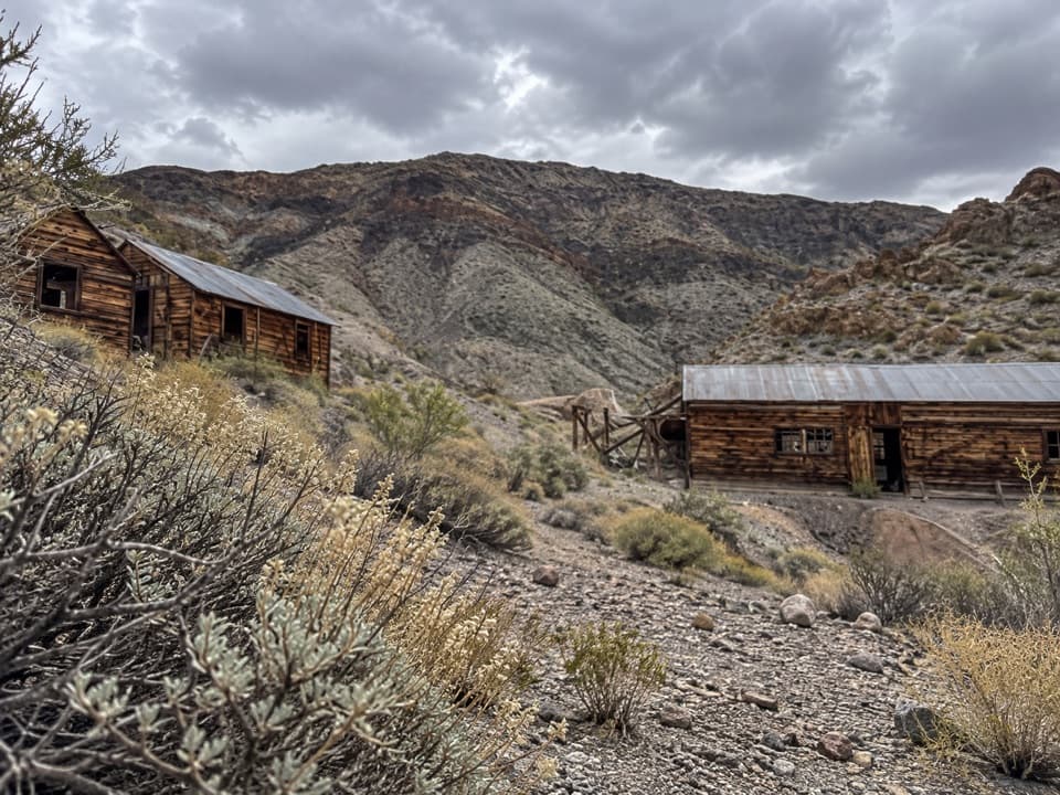
A 40-ton gold mill left ruins and a sharp mining story.

Photo: NPS / Kurt Moses

Type
Sight
Nearest trail
2.7 mi
Audio stories
3 nearby
  • Parking
  • Picnic tables
  • Restrooms
  • Scenic viewpoint

Hear the audio tour

Ashford Mill: Gold That Could Not Pay
Download Parkwolf on the App StoreGet Parkwolf on Google Play

4.7 from 8,600+ ratings

Overview

About Ashford Mill Site

Why stop

  • A compact ruin with enough remains to make the mining story tangible.

Heads up

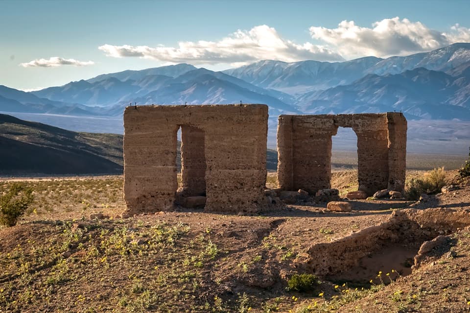
  • Only foundations, scattered remains and office walls survive.

Map

Where it is

Loading the Death Valley map
Full map
SightAshford Mill Site35.91912, -116.68291
Keep this map with you offline in the Parkwolf app

Plan your stop

Before you go

4 active Death Valley alerts

  • ClosureRoad closures and hazardous conditionsSeveral park roads are closed or hazardous; follow closures and vehicle restrictions.Official details
  • ClosureSaline Valley Lower Springs closed after wildfireLower Springs pools at Saline Valley Warm Springs remain closed because the September 15 wildfire left safety hazards, including potential hazardous chemicals; do not enter the closed area.Official details

See all 4 alerts
A park ranger sits on a dash-mounted phone, talking, as Parkwolf’s Tour Guide plays “Army Cutworm Moths: A Grizzly Bear Buffet” on Grand Loop Road below Dunraven Pass in Yellowstone
Parkwolf Tour GuideThe highest, rockiest slopes around here are a summer buffet for grizzly bears.

Death Valley Tour Guide

Your drive to Ashford Mill Site, narrated.

Parkwolf is a GPS audio tour guide for Death Valley National Park. As you drive, it chimes in with what’s ahead: hidden gems, upcoming stops, history, geology, and wildlife, right through your car’s speakers.

See the Death Valley audio tour

Recorded for this place

Ashford Mill: Gold That Could Not Pay
0:00 / 0:31
“Ashford Mill Site is ahead, a short history stop with foundations and roofless concrete office walls. If you're expecting an intact ghost town, you can skip this one.”

Plays as you drive up to Ashford Mill Site in the Parkwolf Death Valley Tour Guide.

More stories near here in the app

  • The Orange Vine Living on a Shrub
  • The Vulture’s Wobbly Search
  • How a Hummingbird Holds Still
  • The Dark River in the Milky Way
  • 228 audio storiesacross Death Valley’s roads, triggered by GPS as you drive
  • Wildlife heatmapsfor Bighorn Sheep, Desert Tortoise, Coyote, and 13 more
  • Works offlinemaps, 57 trails, 81 places, and audio download before you lose signal
  • CarPlay readysimple controls built for the drive
★★★★★
“Fantastic app with many points of information… It’s great to just turn on while you’re driving and it gives you an audio tour of the national Park. We love it!!!!”
JMJamesApp Store review
Download Parkwolf on the App StoreGet Parkwolf on Google Play

4.7 from 8,600+ ratings

Guide

More about Ashford Mill Site

A quick roadside history stopAshford Mill Site is the remains of a gold-ore mill off Badwater Road.

Ashford Mill Site is the remains of a gold-ore mill off Badwater Road. It is worth a short stop if you like seeing how Death Valley’s mining history fits into the landscape; expect foundations, scattered debris and roofless office walls, not a restored mill or an intact ghost town.

The mill that could not make the ore payThe mill could process 40 tons of ore.

The mill could process 40 tons of ore. The Ashford Mine that supplied it sat about five miles east in Ashford Canyon, roughly 3,500 feet higher, so ore had to be hauled down to the valley floor. The mine was worked intermittently from 1910 to 1941, but the gold was not rich enough to cover the costs of getting it out, processing it and moving it.

Read the site and its settingThe concrete office walls are the clearest structures left; the mill’s wooden walls, windows…

The concrete office walls are the clearest structures left; the mill’s wooden walls, windows and machinery are gone. Look west toward Shoreline Butte for terraces left by changing levels of ancient Lake Manly. For photos, frame the low walls with the open valley and mountains behind them; the landscape gives the ruins their scale.

Make the stop workThe site is off Badwater Road, about 28 miles west of the Shoshone entrance.

The site is off Badwater Road, about 28 miles west of the Shoshone entrance. There is auto parking, a picnic table and a vault or composting toilet. Bring food and drinking water for the drive; neither is listed among the site’s amenities.

Wildlife

Wildlife in Death Valley

All Death Valley wildlife maps

Sighting maps show where each species has been reported across Death Valley. Wildlife moves, so no sighting is guaranteed.

Parkwolf’s Death Valley ranking

Top sights in Death Valley

All 81 places
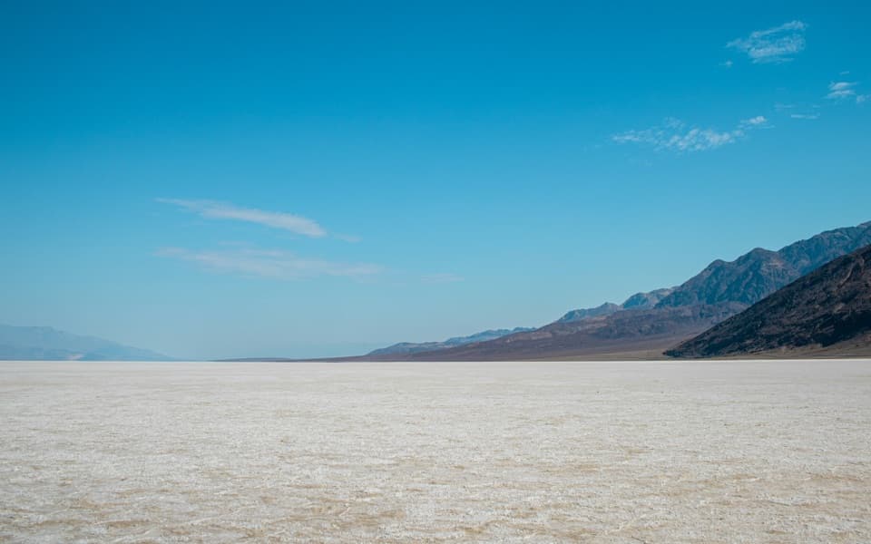
  1. 1Badwater BasinSight
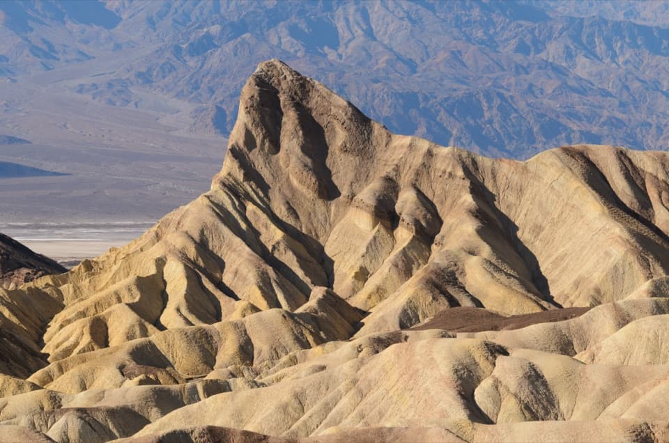
  2. 2Zabriskie PointSight
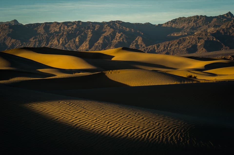
  3. 3Mesquite Flat Sand DunesSight
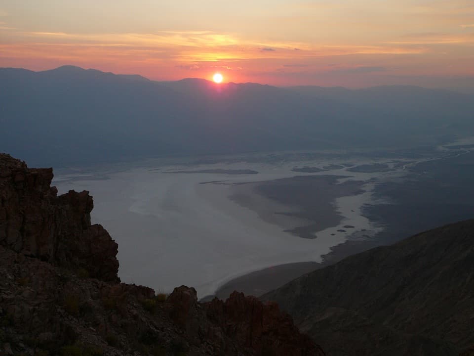
  4. 4Dantes ViewSight
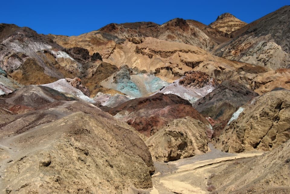
  5. 5Artists PaletteSight
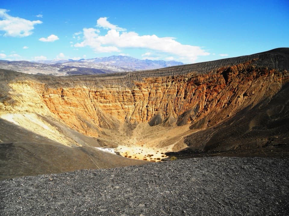
  6. 6Ubehebe CraterSight

Take Parkwolf to Death Valley.

The audio tour guide for the drive, plus offline maps, trails, and wildlife heatmaps for when the signal drops.

4.7 from 8,600+ ratings

Download Parkwolf on the App StoreGet Parkwolf on Google Play