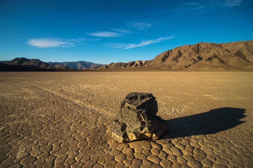
Dantes View in Death Valley National Park

#4 of 46 sights in Death Valley

Sight · Death Valley National Park

Dantes View

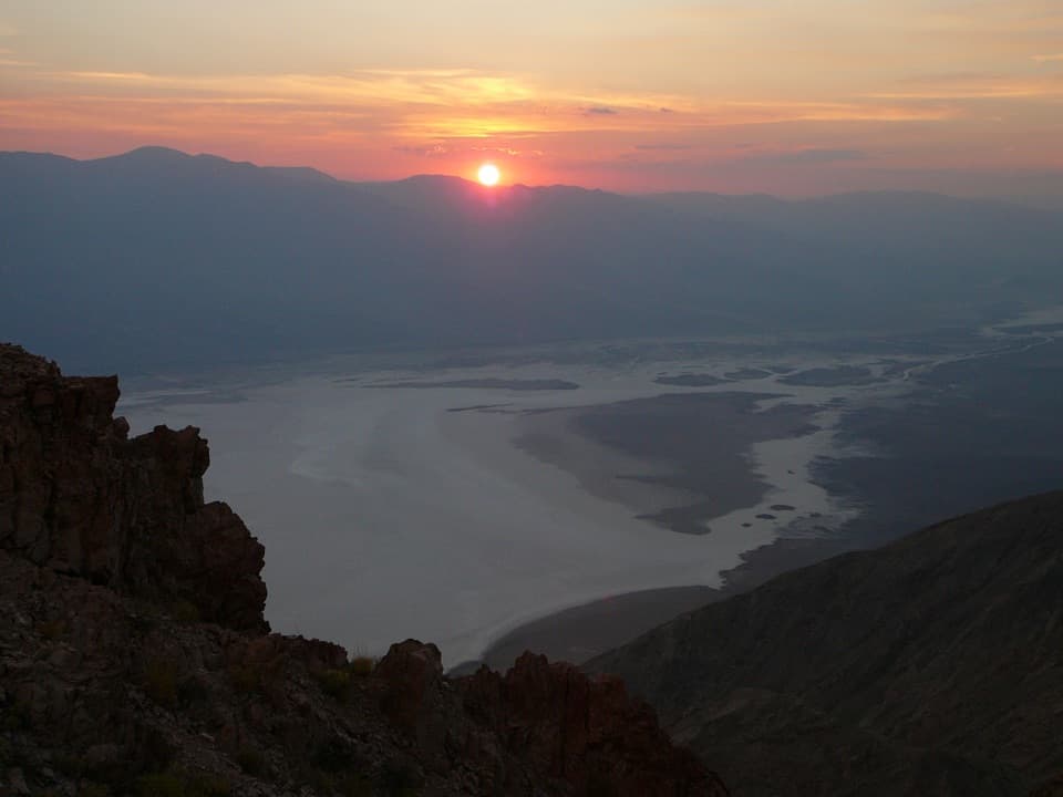
A high perch for salt flats and far-off mountain ranges.

Photo: NPS

Type
Sight
Nearest trail
Right here
Audio stories
2 nearby
  • Scenic viewpoint
  • Parking
  • Restrooms
  • Trailhead

Hear the audio tour

Dantes View: Above the Basin
Download Parkwolf on the App StoreGet Parkwolf on Google Play

4.7 from 8,600+ ratings

Overview

About Dantes View

Why stop

  • A sweeping Badwater-to-Panamint panorama from the car-accessible ridge.

Heads up

  • Vehicles 25 feet or longer cannot use the final six miles.

Map

Where it is

Loading the Death Valley map
Full map
SightDantes View36.22066, -116.72675
Keep this map with you offline in the Parkwolf app

Plan your stop

Before you go

4 active Death Valley alerts

  • ClosureRoad closures and hazardous conditionsSeveral park roads are closed or hazardous; follow closures and vehicle restrictions.Official details
  • ClosureSaline Valley Lower Springs closed after wildfireLower Springs pools at Saline Valley Warm Springs remain closed because the September 15 wildfire left safety hazards, including potential hazardous chemicals; do not enter the closed area.Official details

See all 4 alerts
A park ranger sits on a dash-mounted phone, talking, as Parkwolf’s Tour Guide plays “Army Cutworm Moths: A Grizzly Bear Buffet” on Grand Loop Road below Dunraven Pass in Yellowstone
Parkwolf Tour GuideThe highest, rockiest slopes around here are a summer buffet for grizzly bears.

Death Valley Tour Guide

Your drive to Dantes View, narrated.

Parkwolf is a GPS audio tour guide for Death Valley National Park. As you drive, it chimes in with what’s ahead: hidden gems, upcoming stops, history, geology, and wildlife, right through your car’s speakers.

See the Death Valley audio tour

Recorded for this place

Dantes View: Above the Basin
0:00 / 0:32
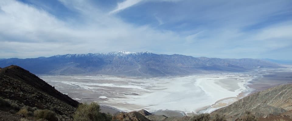
“Up ahead is Dantes View, where you can look down over Badwater's white salt flats and across to Telescope Peak. This is a stop for the whole valley's scale, and you don't need a summit hike to get the view.”

Plays as you drive up to Dantes View in the Parkwolf Death Valley Tour Guide.

More stories near here in the app

  • The Shortcut Behind the Name
  • Read a Raven's Tail
  • Badwater Basin: Below Sea Level
  • The River With Gaps
  • 228 audio storiesacross Death Valley’s roads, triggered by GPS as you drive
  • Wildlife heatmapsfor Bighorn Sheep, Desert Tortoise, Coyote, and 13 more
  • Works offlinemaps, 57 trails, 81 places, and audio download before you lose signal
  • CarPlay readysimple controls built for the drive
★★★★★
“Fantastic app with many points of information… It’s great to just turn on while you’re driving and it gives you an audio tour of the national Park. We love it!!!!”
JMJamesApp Store review
Download Parkwolf on the App StoreGet Parkwolf on Google Play

4.7 from 8,600+ ratings

Guide

More about Dantes View

Look out over the basinDantes View is a developed overlook on the Black Mountains ridge, 5,575 feet above Badwater…

Dantes View is a developed overlook on the Black Mountains ridge, 5,575 feet above Badwater Basin. The white salt flats lie far below, with the Panamint Range along the opposite horizon. If you want a big, open look at Death Valley from above, make the climb; the drive from Furnace Creek is about 45 minutes and makes a worthwhile detour off Highway 190.

Pick out Telescope PeakLook west across the basin to Telescope Peak, the 11,049-foot high point of the Panamint Range.

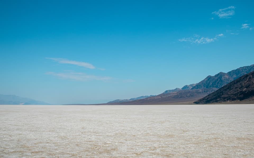
Look west across the basin to Telescope Peak, the 11,049-foot high point of the Panamint Range. From here you can see the contrast that defines the valley: dark mountain slopes dropping toward the pale, nearly white floor. Give your eyes a minute to pick out the salt flats, the alluvial fans at the foot of the mountains, and the separate ridges beyond them.

Walk north along the ridgeA short walk north along the ridge leads to additional viewpoints and a quieter place to take…

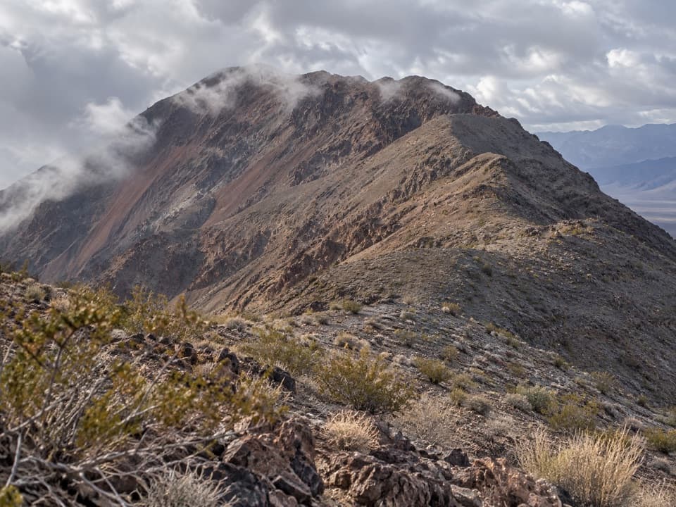
A short walk north along the ridge leads to additional viewpoints and a quieter place to take in the same huge drop. The ridge continues toward Mount Perry for hikers who want a much longer outing: about 8 miles round trip with roughly 1,200 feet of elevation gain. That is a real hike beyond the overlook, so bring water and plan for the added effort.

Go for the lightSunrise and sunset bring out the folds of the mountains and the pale basin below.

Sunrise and sunset bring out the folds of the mountains and the pale basin below. For the classic photo, keep some of the salt flats in the lower frame and the Panamint Range beyond them; the short walk north gives you more angles than the main turnout. Clear visibility makes a big difference to the distant peaks.

Stay after darkDeath Valley is an International Dark Sky Park, and this high ridge gives you a wide view of…

Death Valley is an International Dark Sky Park, and this high ridge gives you a wide view of the night sky. Near a new moon, look for the Milky Way; around a full moon, the salt flats can glow white below you. The summit is usually 15 to 25 degrees cooler than the valley floor, and wind can make it feel colder, so bring a layer if you plan to stay after sunset.

How the valley took shapeDeath Valley began opening about three million years ago as the region’s crust stretched and…

Death Valley began opening about three million years ago as the region’s crust stretched and faults let blocks of land rise and sink. The basin continues to subside along the Black Mountains fault. Ice Age lakes once covered parts of the valley; as the climate warmed, they dried and left salt behind. A smaller lake system returned about 3,000 years ago, another chapter in the changing basin you are looking down on.

A story from 1926A 1926 story remembers Shoshone resident Charles Brown telling Nevada’s governor that one view…

A 1926 story remembers Shoshone resident Charles Brown telling Nevada’s governor that one view of Death Valley had made him stop and look, when asked to name the best vista. It is an early local endorsement of the view from this ridge.

Make the drive comfortablyFrom the Dantes View turnoff, the overlook is 13 miles up a paved road.

From the Dantes View turnoff, the overlook is 13 miles up a paved road. The climb is gradual until the final quarter-mile, which rises steeply at a 14 percent grade. Vehicles or combinations 25 feet or longer cannot use the last six miles. There is parking and a wheelchair-accessible viewing area, plus a vault or composting toilet. Treat this as a viewpoint rather than a service stop: bring food and water, especially if you plan to walk the ridge.

Wildlife

Wildlife in Death Valley

All Death Valley wildlife maps

Sighting maps show where each species has been reported across Death Valley. Wildlife moves, so no sighting is guaranteed.

Parkwolf’s Death Valley ranking

Top sights in Death Valley

All 81 places
  1. 1Badwater BasinSight
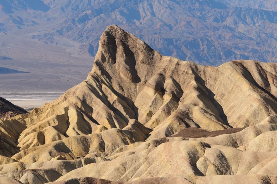
  2. 2Zabriskie PointSight
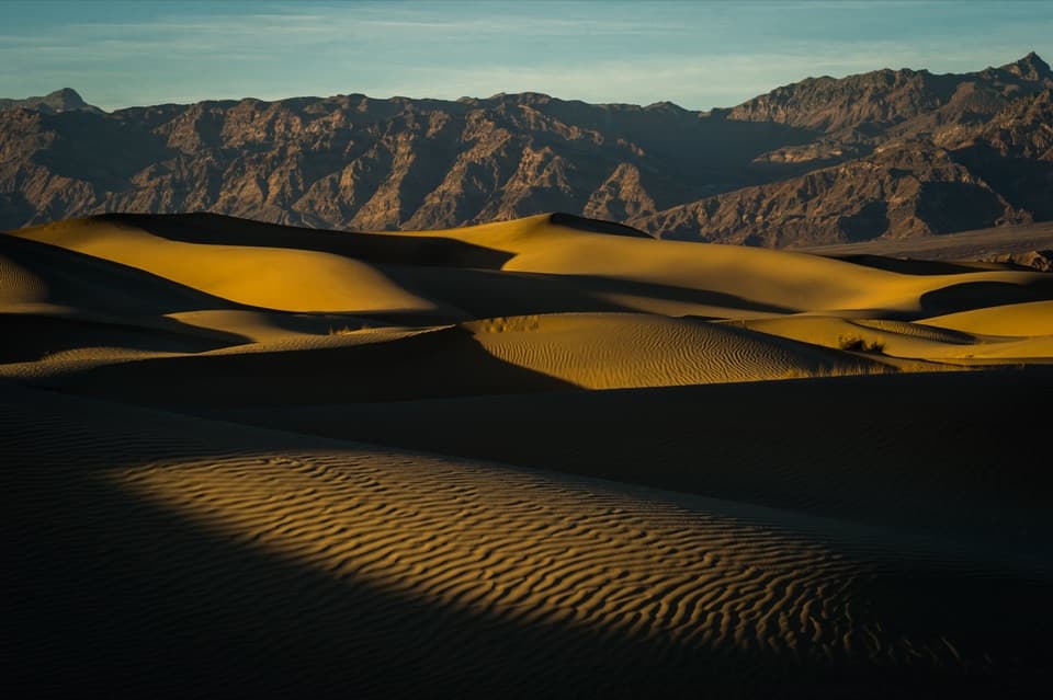
  3. 3Mesquite Flat Sand DunesSight
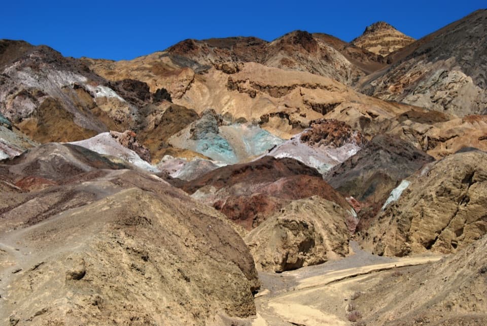
  4. 5Artists PaletteSight
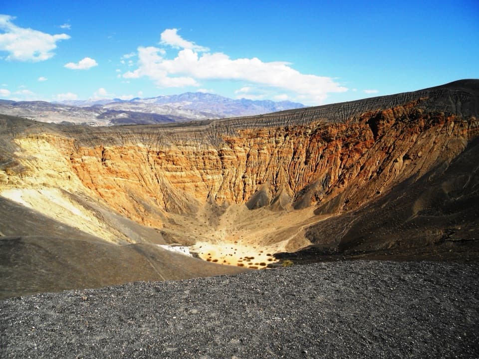
  5. 6Ubehebe CraterSight
  6. 7Racetrack PlayaSight

Take Parkwolf to Death Valley.

The audio tour guide for the drive, plus offline maps, trails, and wildlife heatmaps for when the signal drops.

4.7 from 8,600+ ratings

Download Parkwolf on the App StoreGet Parkwolf on Google Play