Harrisburg and Eureka Mine in Death Valley National Park

Sight · Death Valley National Park

Harrisburg and Eureka Mine

A two-room cabin tells Pete Aguereberry’s gold-mining story.

Type
Sight
Audio stories
2 nearby
  • Parking

Hear the audio tour

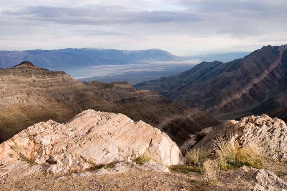
Aguereberry Point: The Road to the Great View
Download Parkwolf on the App StoreGet Parkwolf on Google Play

4.7 from 8,600+ ratings

Overview

About Harrisburg and Eureka Mine

Why stop

  • Pete Aguereberry’s cabin and mine make the camp’s history tangible.

Heads up

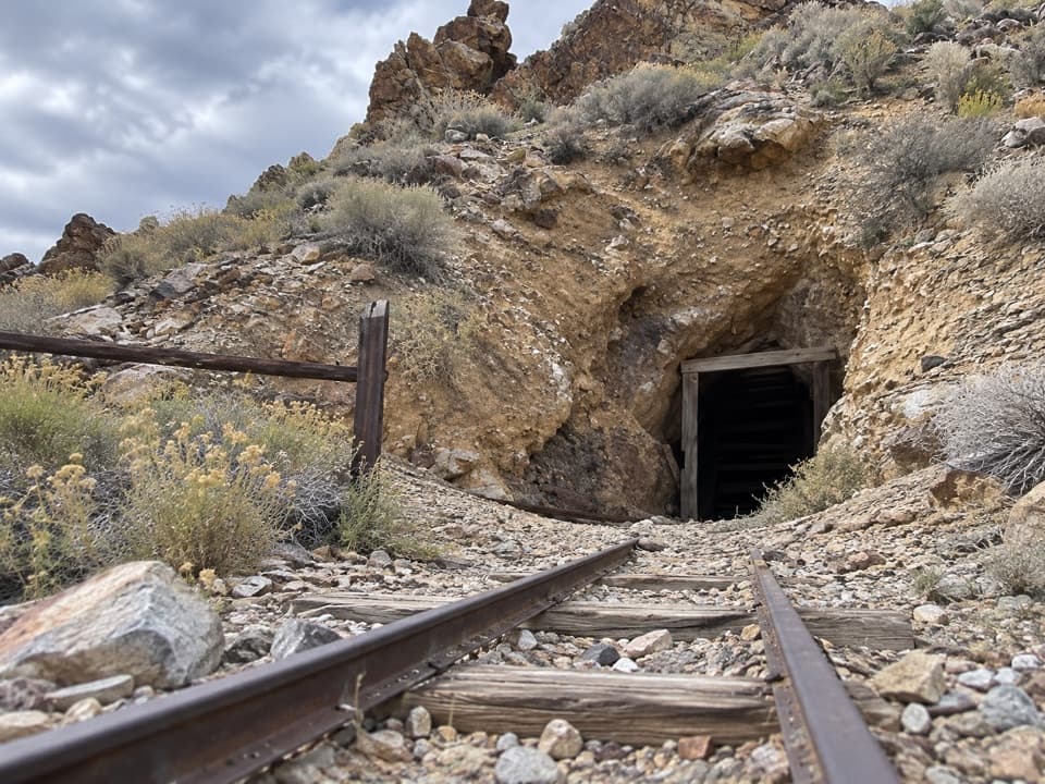
  • The mine tunnels are closed to visitors.

Map

Where it is

Loading the Death Valley map
Full map
SightHarrisburg and Eureka Mine36.36247, -117.10731
Keep this map with you offline in the Parkwolf app

Plan your stop

Before you go

4 active Death Valley alerts

  • ClosureEmigrant Campground and restrooms closedMentions Emigrant Campground, referenced in this guideEmigrant Campground, its water system, and area restrooms remain closed because flood damage to the 5-mile water pipe and system left the campground without water; no repair date is estimated.Official details
  • ClosureRoad closures and hazardous conditionsSeveral park roads are closed or hazardous; follow closures and vehicle restrictions.Official details

See all 4 alerts
A park ranger sits on a dash-mounted phone, talking, as Parkwolf’s Tour Guide plays “Army Cutworm Moths: A Grizzly Bear Buffet” on Grand Loop Road below Dunraven Pass in Yellowstone
Parkwolf Tour GuideThe highest, rockiest slopes around here are a summer buffet for grizzly bears.

Death Valley Tour Guide

Your drive to Harrisburg and Eureka Mine, narrated.

Parkwolf is a GPS audio tour guide for Death Valley National Park. As you drive, it chimes in with what’s ahead: hidden gems, upcoming stops, history, geology, and wildlife, right through your car’s speakers.

See the Death Valley audio tour

Recorded for this place

Aguereberry Point: The Road to the Great View
0:00 / 0:32
“You're approaching the road to Aguereberry Point, a high overlook on the western rim of Death Valley. Allow an hour or more for the six-mile spur and a look around.”

Plays as you drive up to Harrisburg and Eureka Mine in the Parkwolf Death Valley Tour Guide.

More stories near here in the app

  • The Botanist With a Garage Herbarium
  • The Living Crust on a Rock
  • Skidoo Mill: Beyond the Empty Townsite
  • How Mercury Caught Gold
  • 228 audio storiesacross Death Valley’s roads, triggered by GPS as you drive
  • Wildlife heatmapsfor Bighorn Sheep, Desert Tortoise, Coyote, and 13 more
  • Works offlinemaps, 57 trails, 81 places, and audio download before you lose signal
  • CarPlay readysimple controls built for the drive
★★★★★
“Fantastic app with many points of information… It’s great to just turn on while you’re driving and it gives you an audio tour of the national Park. We love it!!!!”
JMJamesApp Store review
Download Parkwolf on the App StoreGet Parkwolf on Google Play

4.7 from 8,600+ ratings

Guide

More about Harrisburg and Eureka Mine

What you’ll find hereHarrisburg and Eureka Mine is a historic gold-mining camp and mine site on Aguereberry Point…

Harrisburg and Eureka Mine is a historic gold-mining camp and mine site on Aguereberry Point Road. The tent settlement is gone; Pete Aguereberry’s cabin and the Eureka workings are what remain. It’s a good stop if you want to see one of Death Valley’s small mining camps. The mine tunnels are closed behind a bat gate because of dangerous conditions, so plan to explore outside rather than go underground.

Find the camp on the roadFrom Highway 190, follow the Wildrose signs from Emigrant Campground, then turn onto…

From Highway 190, follow the Wildrose signs from Emigrant Campground, then turn onto Aguereberry Point Road. The camp is about a mile down that road; Aguereberry Point is farther along. The approach is unpaved, so check current road conditions before you set out. Parking is reported at the site, but its size and other facilities aren’t documented; bring the water and food you need for this remote stop.

A camp built around a gold strikePete Aguereberry and Shorty Harris found gold in the area in 1905, and about 300 people settled…

Pete Aguereberry and Shorty Harris found gold in the area in 1905, and about 300 people settled into the camp. The name was almost Harrisberry, combining the two prospectors’ names, before Shorty called it Harrisburg. Water had to be hauled from Emigrant, Blackwater, and Wild Rose springs, which gives a good sense of the work involved in living here.

Pete’s cabin and mineAguereberry was born in France in 1874 to a Basque family and came to the United States in 1890.

Aguereberry was born in France in 1874 to a Basque family and came to the United States in 1890. He reached Death Valley in 1905 and built his original two-room cabin here in 1907; it had a gas stove and refrigerator. After he gained control of the Eureka claims in 1909, he worked the mine largely on his own into the early 1930s. A guest cabin dates to 1941, and another cabin was built around 1946.

Wildlife

Wildlife in Death Valley

All Death Valley wildlife maps

Sighting maps show where each species has been reported across Death Valley. Wildlife moves, so no sighting is guaranteed.

Parkwolf’s Death Valley ranking

Top sights in Death Valley

All 81 places
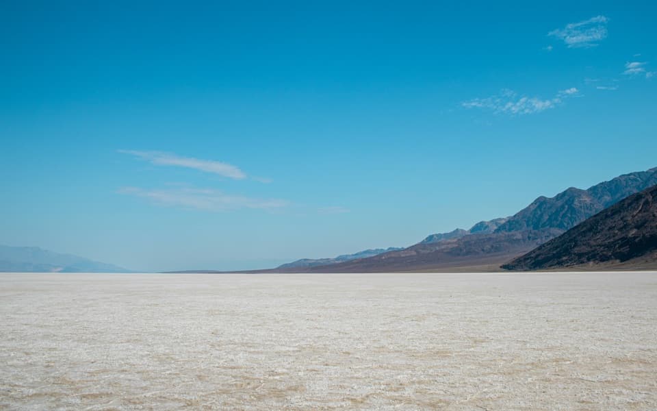
  1. 1Badwater BasinSight
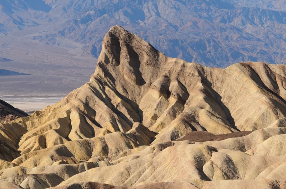
  2. 2Zabriskie PointSight
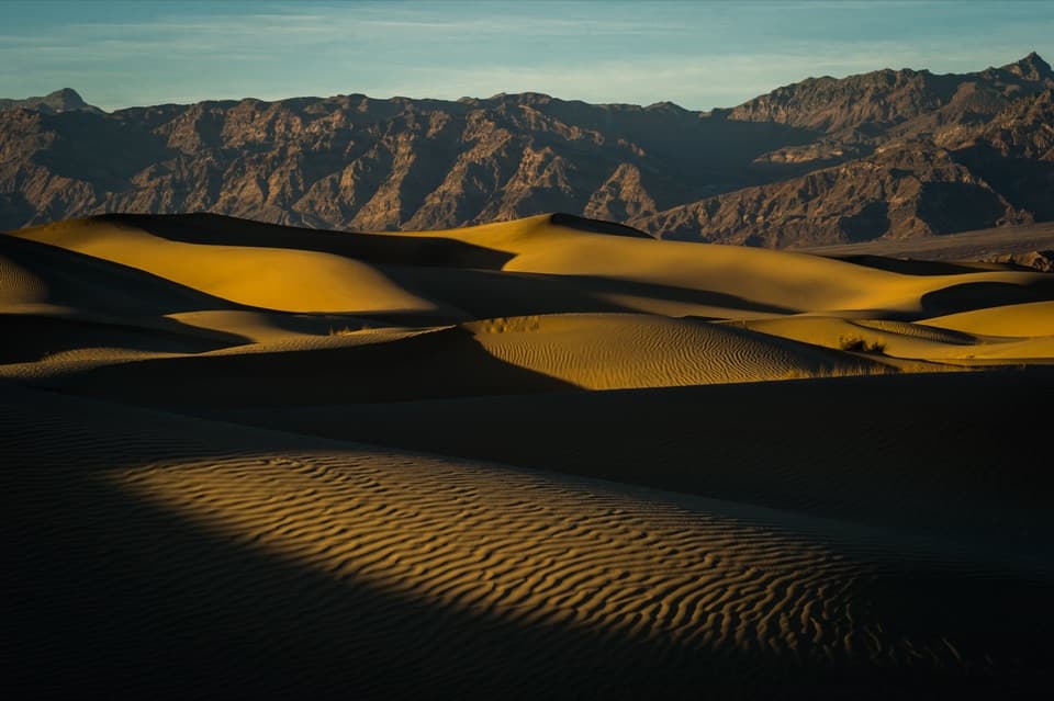
  3. 3Mesquite Flat Sand DunesSight
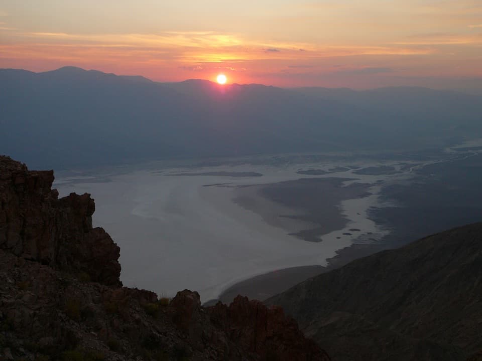
  4. 4Dantes ViewSight
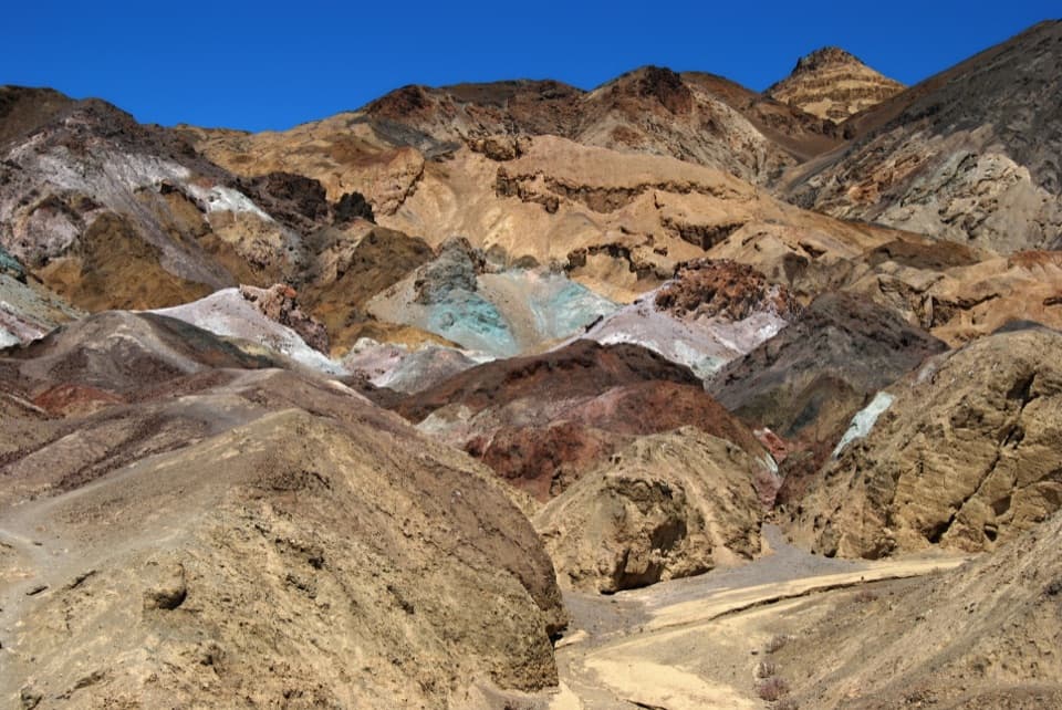
  5. 5Artists PaletteSight
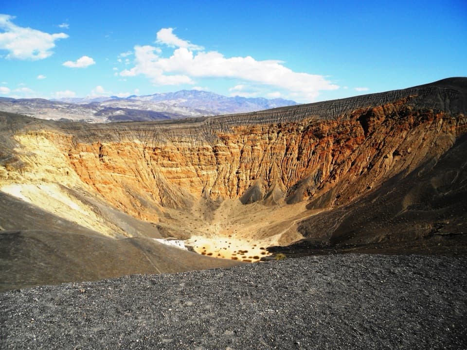
  6. 6Ubehebe CraterSight

Take Parkwolf to Death Valley.

The audio tour guide for the drive, plus offline maps, trails, and wildlife heatmaps for when the signal drops.

4.7 from 8,600+ ratings

Download Parkwolf on the App StoreGet Parkwolf on Google Play