Pros & cons
PROS
- Solitude at one of the park’s least-visited dune fields
- Pristine, wind-sculpted sand with big mountain-and-valley views
- Excellent dark skies for stargazing
CONS
- Long, rough dirt approach and a 7–8 mile roundtrip sand hike
- No shade, water, or facilities of any kind
Overview
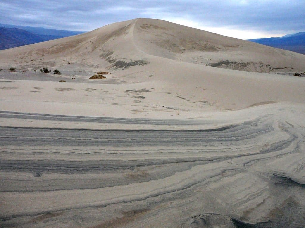
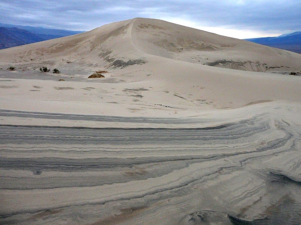
Panamint Dunes are the quiet antidote to Death Valley’s busier dune fields. Set at the north end of Panamint Valley, they deliver an immersive backcountry experience: sweeping sand ridges, silence, and wide-open views to the surrounding ranges.
Why Go
If you’re chasing solitude and untracked sand, this is the spot. Visitors often find the dunes empty, with wind-brushed slopes free of footprints, sunrise and sunset light that glows off the ridgelines, and truly dark skies after dusk.
Getting There & The Hike
Access is via an unmarked gravel road (Lake Hill Road) for roughly 5.5–6 miles to a small dirt pullout used as the trailhead. From there it’s a cross-country walk—no official trail—about 4 miles one way (7–8 miles roundtrip) over sandy flats and gradually rising dunes. The dunes are visible from the parking area, which simplifies navigation in clear weather, but travel in sand is slow and tiring.
What You’ll See
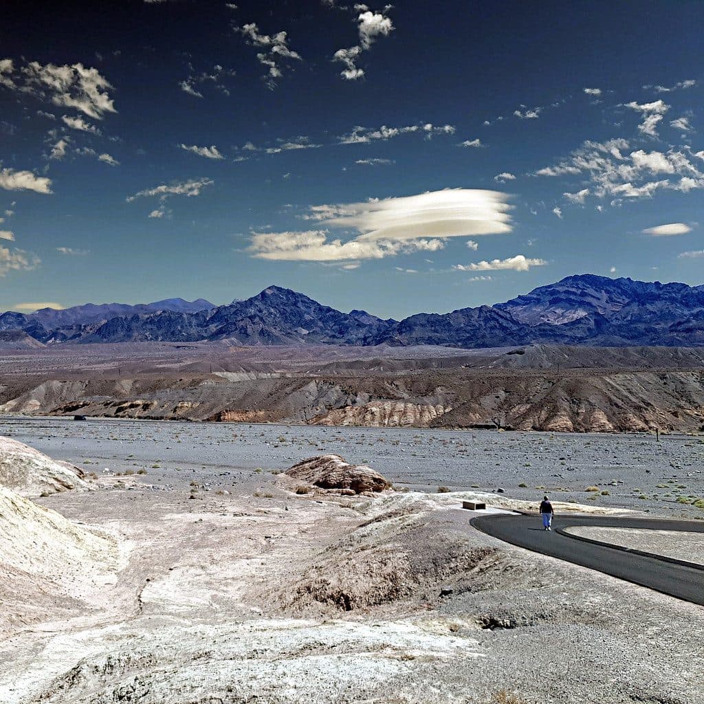
Expect rolling, untouched dunes backed by hills, with big vistas across Panamint Valley and to the Argus, Slate, and Panamint ranges. Spring can bring sparse wildflower accents in good years, and the night sky is superb thanks to minimal light pollution.
Wildlife
Typical desert life makes cameo appearances: lizards, insects, and occasional small mammals or birds around scattered vegetation. It’s a harsh, exposed environment—wildlife sightings are usually brief and best at cooler hours.
Camping & Regulations
There’s no developed campground, but backcountry overnights are a classic way to experience the dunes. This is designated wilderness: off-road vehicle travel is prohibited. The park closes dune systems like Panamint to activities such as sandboarding and sledding—treat the landscape gently and practice Leave No Trace.
Essential Prep
There are no restrooms, water, or services at the trailhead or on the route—come fully self-sufficient. Bring at least one gallon of water per person per day, strong sun protection, layers for big day–night temperature swings, and reliable navigation (map/GPS).
Best Time to Visit
Fall through early spring is the window—think November to March for safer temperatures. Start pre-dawn or late afternoon for cooler hiking and the best photography light. Crowds aren’t the issue here; conditions are. Avoid summer heat entirely.

Where it is
36.4618, -117.4558Tips for Panamint Dunes
- 01Start before sunrise for cooler temps and golden ridge light.
- 02Carry at least 1 gallon of water per person per day—no sources en route.
- 03Expect a 7–8 mile roundtrip with slow, tiring travel in deep sand.
- 04Reach the primitive trailhead via roughly 5.5–6 miles of unmarked gravel road.
- 05No services or toilets—pack out all waste and bring full sun protection.
Amenities
Near Panamint Dunes
All places →All trails →
6.3 mi awayRainbow CanyonColor-streaked canyon best viewed from Father Crowley VistaParking · Restroom
8.5 mi awayPanamint Springs RestaurantRemote, hearty eats with patio views over Panamint ValleyRestaurant · Food
8.5 mi awayPanamint Springs ResortRemote, rustic base with fuel, food, and starry Panamint Valley viewsLodging · Campground
8.5 mi awayPanamint Springs Gas StationRemote in-park fuel and essentials with big Panamint Valley viewsGas Station · Store
9.8 mi awayDarwin Falls TrailA shady, year-round desert oasis with a real waterfall.Easy · 2 mi · 1.3 hr
14 mi awayMarble CanyonRemote marble narrows, petroglyphs, and big desert silence.Moderate · 8 mi · 5 hr
14.8 mi awayCottonwood-Marble Canyon LoopRemote desert loop linking Cottonwood, Deadhorse, and Marble CanyonsChallenging · 26 mi · 18 hr
14.8 mi awayCottonwood CanyonRemote desert canyon with springs, solitude, and serious route-findingChallenging · 27 mi · 72 hr