
Place
Moderate
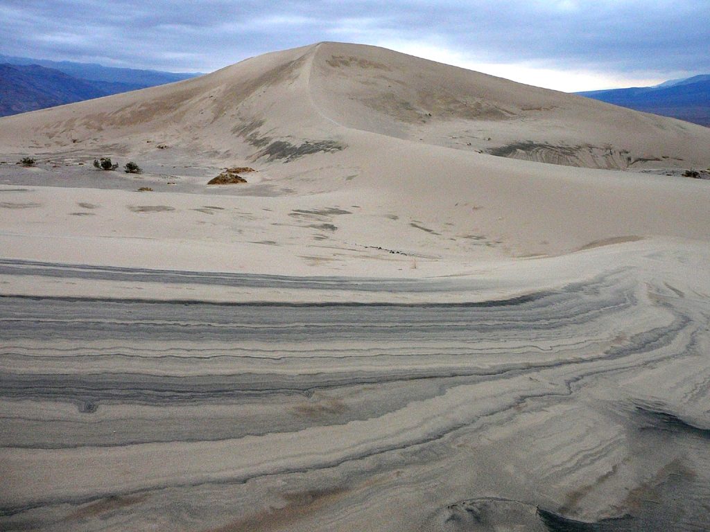
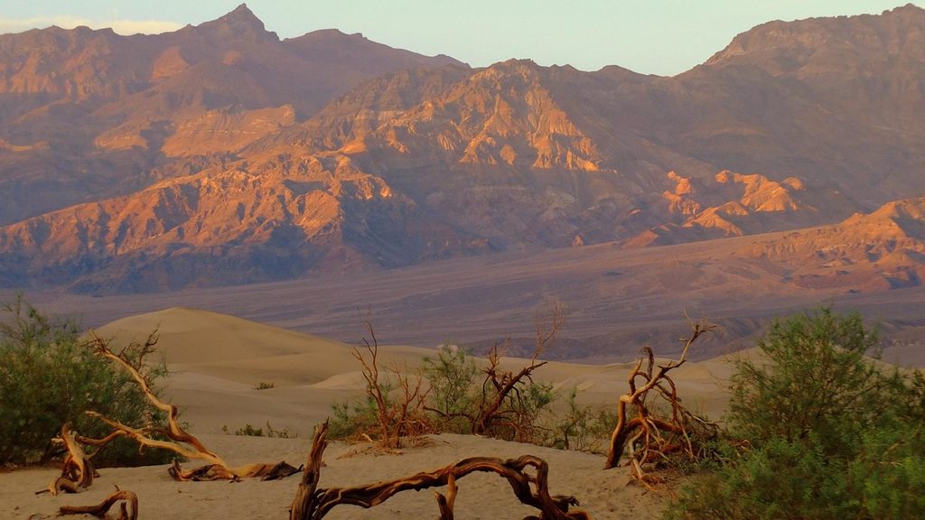
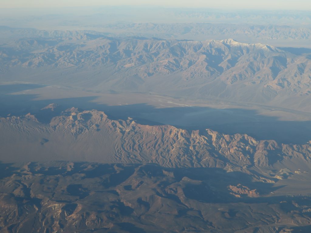
If you want Death Valley’s sand-dune magic without the crowds, Panamint Dunes deliver. This is a 7-mile roundtrip, cross-country out-and-back across open desert to an isolated dune field at the north end of Panamint Valley. Expect roughly 850 feet of total gain, almost all from soft-sand slogging near and on the dunes. It’s not technical, but it is exposed and committing. The payoff: sweeping mountain-and-valley panoramas, sculpted white dunes, and a real sense of wilderness.
There’s no maintained trail—just set your sights on the dunes and walk. The first miles cross hard desert flats dotted with creosote (wildflowers appear in season). As you near the dunes, the footing shifts to increasingly soft sand. Navigation is simple in clear weather but can feel disorienting in this big, uniform landscape; mark landmarks on the way in to help with your return. Most hikers turn around at the dune margins; add distance and effort if you wander ridge to ridge.
The standard approach starts from the end of Lake Hill Road, an unmarked dirt/gravel spur off CA-190 in the park’s west. From near Panamint Springs, it’s roughly 5–5.6 miles to a small parking area. The road is rough with occasional sharp rocks—high clearance is recommended, though cautious drivers in standard cars sometimes make it. Carry a spare tire and be self-sufficient.
Go October through April. Mornings and late afternoons offer cooler temps, better light on the dunes, and prettier photos. Summer heat is dangerous here; avoid May–August unless you’re highly experienced and plan with extreme caution. Nights can be cool in the shoulder seasons, and the stargazing is superb thanks to the remoteness and lack of light pollution.
There’s no water—carry everything you need (at least a gallon per person per day, more when it’s warm). There’s no shade or services. Cell coverage is unreliable. Use a GPS or map app and bring a physical backup. If you backpack in, dispersed camping is allowed on the dunes; the soft sand can make for a surprisingly comfortable sleep, but be prepared for big temperature swings.
If you love solitude, big-sky desert scenery, and don’t mind sand and cross-country travel, this is a memorable, underrated outing. If you want a signed trail, reliable footing, or easy logistics, you’ll be happier elsewhere in the park.
Small dirt parking area at the end of Lake Hill Road (unmarked), reached via a 5–5.6 mile rough dirt/gravel spur off CA-190 near Panamint Springs. High clearance recommended; careful sedans may make it.
No water, no shade, and no maintained trail. Heat can be dangerous; avoid summer. Navigation is by sight—note landmarks. The access road has sharp rocks; carry a spare and be self-sufficient.
Place
Place
Place
Place
Easy
Easy
Easy
Challenging

Parkwolf Tour Guide
