Best time to visit
There are no formal hours and crowds are typically light thanks to the remote, challenging access. Plan your visit around current road conditions and weather; higher elevation and exposure mean conditions can change quickly.
Scenic pullout · Death Valley National Park
High, narrow pass of red rock with big Titus Canyon views
Overview
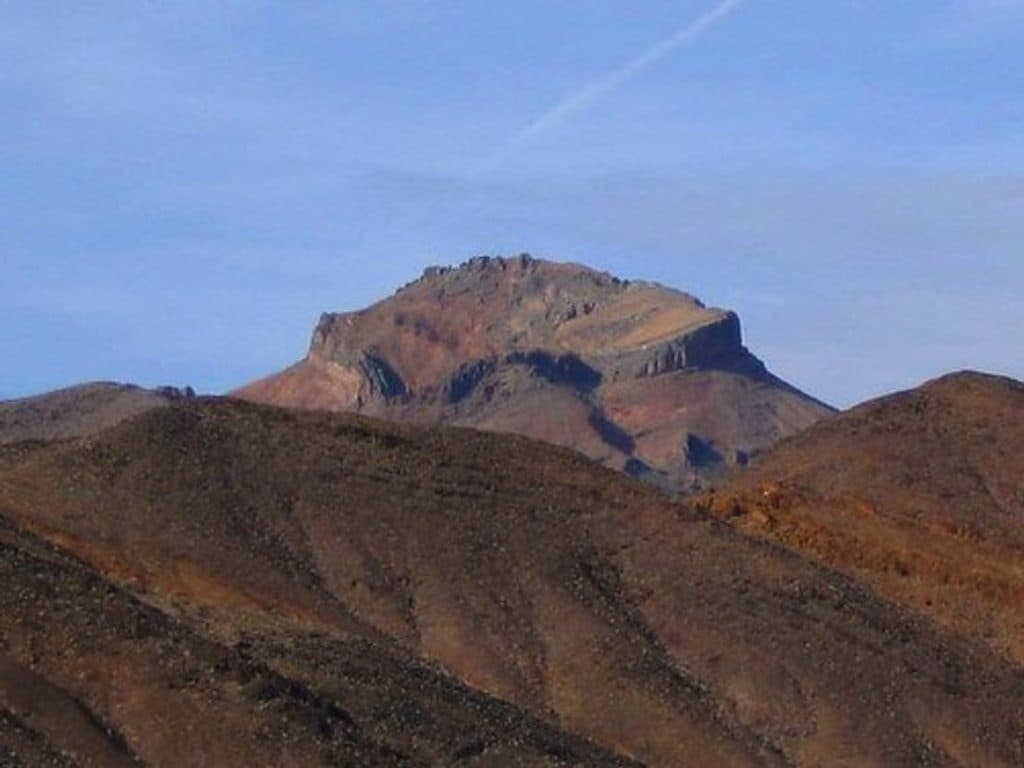
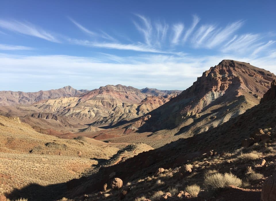
Red Pass Overlook crowns the one-way Titus Canyon Road at roughly 5,213–5,250 feet, where the landscape flips from mountain slopes to canyon country. It’s named for the striking red rocks and soil at the crest, and the combination of color and elevation gives you a sweeping sense of scale.
Map
Local know-how
High-clearance vehicle strongly recommended; the road is narrow, steep, and rough.
There are no facilities—bring plenty of water, snacks, and sun protection.
Check official road conditions before you go; Titus Canyon Road can close.
If heights bother you, consider skipping the most exposed switchbacks near the top.
Fuel up beforehand; there are no services anywhere near Red Pass.
Plan your stop

The highest, rockiest slopes around here are a summer buffet for grizzly bears.
Death Valley Tour Guide
Parkwolf is a GPS audio tour guide for Death Valley National Park. As you drive, it chimes in with what’s ahead: hidden gems, upcoming stops, history, geology, and wildlife, right through your car’s speakers.
See the Death Valley audio tour“Fantastic app with many points of information… It’s great to just turn on while you’re driving and it gives you an audio tour of the national Park. We love it!!!!”


Guide
From the top, views run in both directions: the winding climb you just tackled to the east, and Titus Canyon’s vistas opening to the west. The red earth at the pass pops against the surrounding gray-green ranges, making it a natural stop for landscape and geology-focused photos.
There’s no developed infrastructure here—no restrooms, water, food, or formal parking. Expect only informal roadside pullouts with limited space. Plan to be fully self-sufficient.
This is remote country. The combination of steep drop-offs, rough surface, and exposure can be unnerving if you don’t like heights. Carry extra water, snacks, and basic emergency supplies, and check current road conditions before you go, as closures do happen. Even with mild temperatures elsewhere, snow is possible up here.
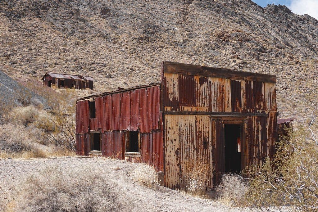
Red Pass sits within the Titus Canyon corridor, a route dotted with geologic and historic intrigue. The road passes near the ghost town of Leadfield, and the broader area preserves fossil-rich layers. The pass itself gets its color from iron-oxide–stained rocks and soils and is a divide between Titus and Titanothere canyons.
Wildlife
 71 sightingsBighorn SheepMost seen around 6 PMSighting map
 101 sightingsDesert TortoiseMost seen around 8 AMSighting map
 458 sightingsCoyoteMost seen around 6 PMSighting map
 28 sightingsFeral BurroMost seen around 5 PMSighting map
 30 sightingsMule DeerMost seen around 7 PMSighting map
 62 sightingsKit FoxMost seen around 7 PMSighting map
Sighting maps show where each species has been reported across Death Valley. Wildlife moves, so no sighting is guaranteed.
Keep exploring
Parkwolf’s Death Valley ranking

The audio tour guide for the drive, plus offline maps, trails, and wildlife heatmaps for when the signal drops.