Best time to visit
Do this one only in cool weather, roughly November through April. Summer heat here is no joke. Start early for cooler temps and to snag the limited roadside parking. Wind can be sharp on the exposed ridge in winter.
Sight · Death Valley National Park
A steep, off-trail climb to a signature summit with big views
Overview
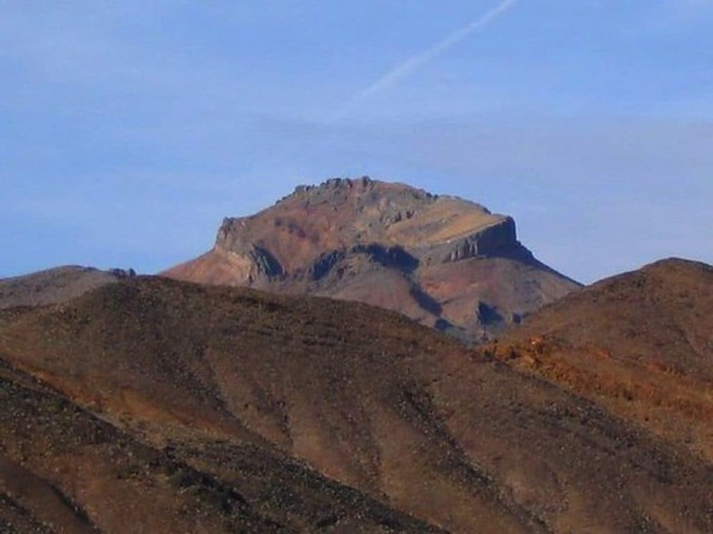
Corkscrew Peak is a striking summit in the Grapevine Mountains, named for its spiraling ridge and prized for its big, lonely views. This is a rugged, off-trail-style hike on a well-used use path—rewarding if you like a little route-finding and a lot of payoff without the crowds.
Fit hikers comfortable with steep, loose terrain and basic off-trail navigation will love this one for the solitude, distinctive ridge, and huge views. Strong parties sometimes pair it with nearby objectives on separate days, conditions permitting.
 Parkwolf’s verdictWho It’s For
Map
Local know-how
Hike in the cool season only and start early.
Carry ample water; there is none on the route.
Follow the cairned ridge route and avoid side canyons that dead-end.
Park at the small roadside pullout and don’t block traffic.
Trekking poles help on the steep, loose descent; expect wind up high.
Plan your stop

The highest, rockiest slopes around here are a summer buffet for grizzly bears.
Death Valley Tour Guide
Parkwolf is a GPS audio tour guide for Death Valley National Park. As you drive, it chimes in with what’s ahead: hidden gems, upcoming stops, history, geology, and wildlife, right through your car’s speakers.
See the Death Valley audio tourMore stories near here in the app
“Fantastic app with many points of information… It’s great to just turn on while you’re driving and it gives you an audio tour of the national Park. We love it!!!!”


Guide
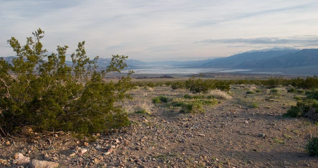
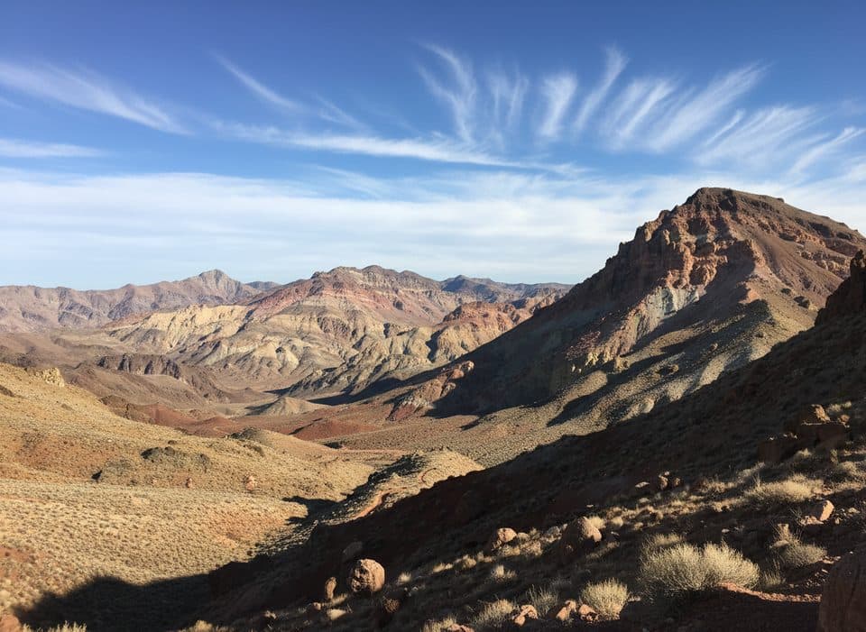
From the summit, the views sprawl across Death Valley with Telescope Peak prominent; on especially clear days distant Sierra Nevada summits have been noted. Just below the top sits a natural rock window—a favorite photo stop—and there’s a summit register to sign.
Navigation matters. Watch for cairns and stick to the researched ridge line—dropping into tempting side canyons can dead-end at impassable walls. The descent is steep and loose, so take your time. Sun exposure is total; plan layers for wind up high.
Wildlife
 71 sightingsBighorn SheepMost seen around 6 PMSighting map
 101 sightingsDesert TortoiseMost seen around 8 AMSighting map
 458 sightingsCoyoteMost seen around 6 PMSighting map
 28 sightingsFeral BurroMost seen around 5 PMSighting map
 30 sightingsMule DeerMost seen around 7 PMSighting map
 62 sightingsKit FoxMost seen around 7 PMSighting map
Sighting maps show where each species has been reported across Death Valley. Wildlife moves, so no sighting is guaranteed.
Keep exploring
 ChallengingCorkscrew Peak Trail7.2 mi · 5.5 hr · 3 mi awayUnmarked 7.2-mile desert summit route with loose scrambling and wide-open views
 ChallengingDeath Valley Buttes3 mi · 3.5 hr · 3.9 mi awayUnmarked ridge scramble to wide Death Valley views and an exposed high summit.
Parkwolf’s Death Valley ranking
The audio tour guide for the drive, plus offline maps, trails, and wildlife heatmaps for when the signal drops.