Place · 1.9 mi away

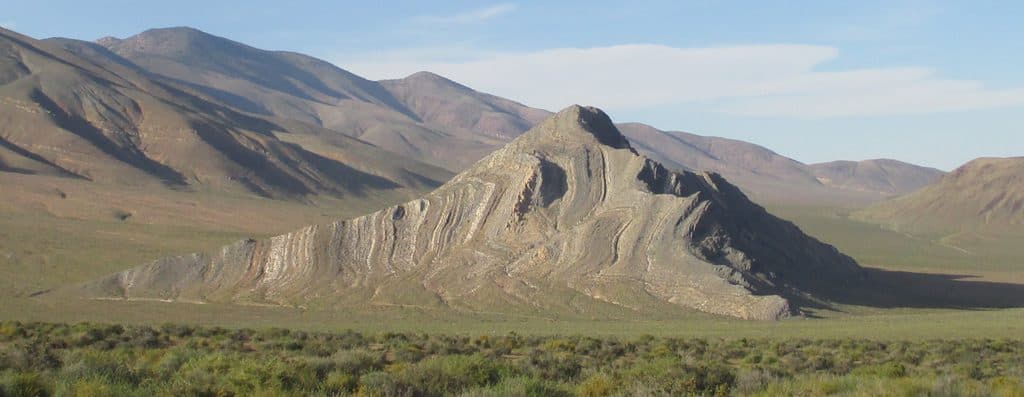
Striped Butte is the eye-catching, banded hill on the floor of Butte Valley. It’s a true backcountry objective—remote, quiet, and absolutely worth it if you’re up for the drive. From the butte and its summit area you get sweeping views across the valley and surrounding Panamints.
Those photogenic stripes are steeply tilted layers of limestone from the Permian Anvil Spring Formation, dramatically set against much older rocks separated by a major fault. The contrast pops in angled light, making this one of the most distinctive landforms in the valley.
Access is via rugged, high‑clearance 4x4 routes across Butte Valley. Common approaches include Warm Springs Road from the east or Goler Wash/Mengel Pass from the west. Expect remote conditions, limited signage, and a full day dedicated to the outing. It’s seldom crowded out here, which is a big part of the appeal.
There’s no formal trailhead or signed trail. Most people make a simple off‑trail, Class 2 scramble from the base, gaining roughly 700 feet. It’s fully exposed with no shade, and winds can whip at the top—plan accordingly.
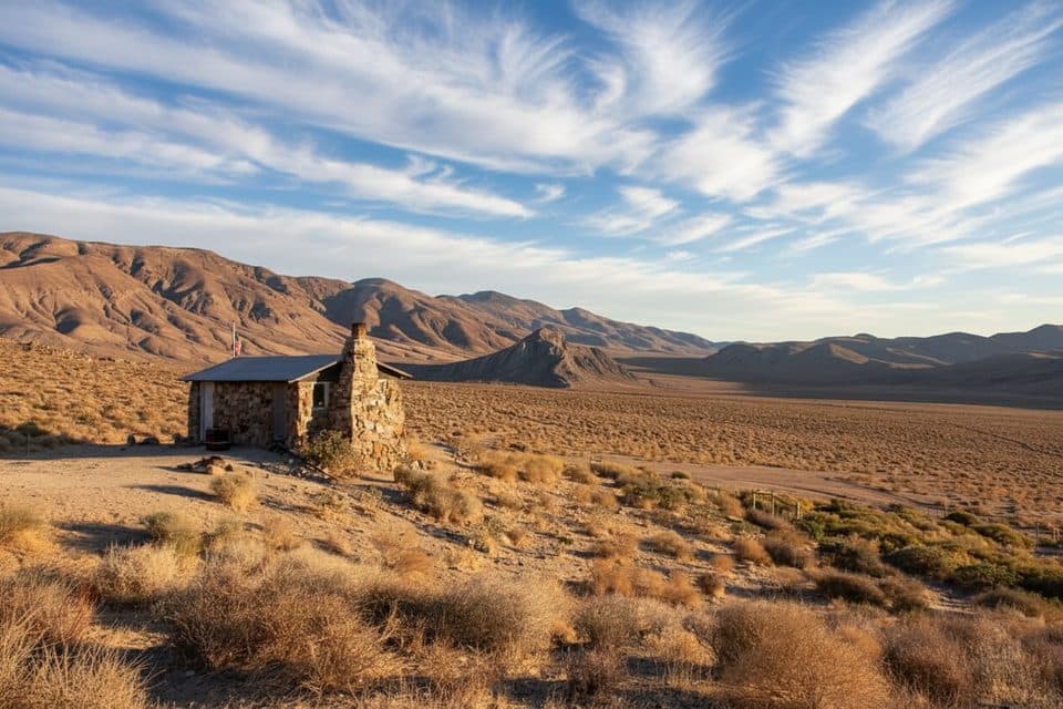
The historic Geologist’s Cabin sits nearby and frames classic views of the butte. It’s a popular waypoint on Butte Valley drives and gives context to the area’s mining-era history.
Aim for late fall through early spring. Even then, be ready for big temperature swings—cold at dawn, potentially hot by midday, and cooling fast at sunset. Photographers often favor the south-side angles and early/late light to make the banding really pop. Weekdays see even fewer vehicles.

Wildlife is sparse in this harsh basin, but you may spot desert birds and lizards; lucky visitors in the surrounding mountains sometimes see bighorn sheep. Don’t count on water or shade.
There are no services here—no water, food, fuel, or cell coverage. Carry ample water, layers, navigation, and emergency supplies. Let someone know your plan and timing. Dispersed, primitive camping is common in the valley for self‑sufficient visitors.