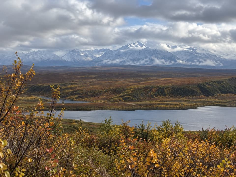
Overview
About Alaska Range Wayside
Why stop
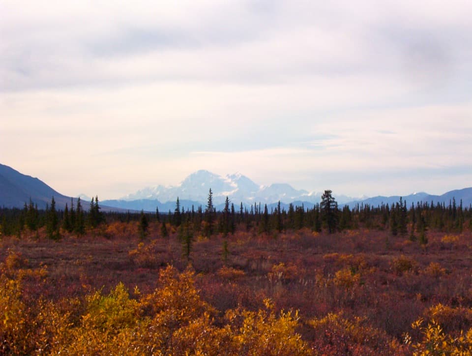
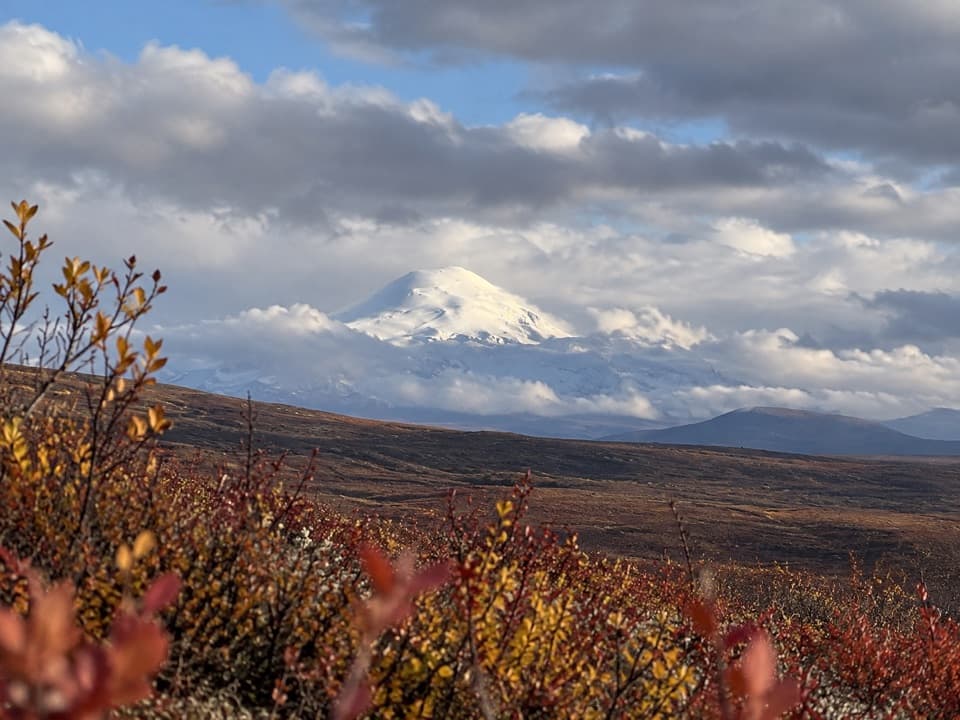
- Wide Alaska Range view with glacier peaks
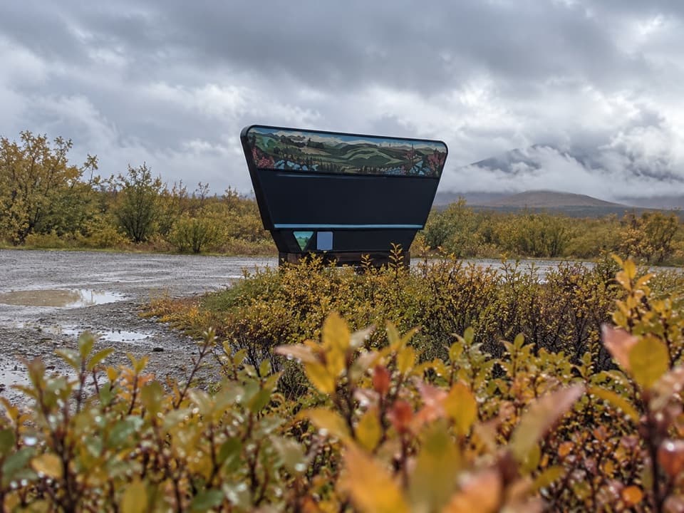
- Picnic area and glacier-geology panels
Heads up
- Distant glacier views depend on clear weather
Map
Where it is

The highest, rockiest slopes around here are a summer buffet for grizzly bears.
Denali Highway Tour Guide
Your drive to Alaska Range Wayside, narrated.
Parkwolf is a GPS audio tour guide for Denali Highway. As you drive, it chimes in with what’s ahead: hidden gems, upcoming stops, history, geology, and wildlife, right through your car’s speakers.
See the Denali Highway audio tourRecorded for this place
Alaska Range Wayside: Glaciers Across the Lake“Up ahead is Alaska Range Wayside, a quick stop for the mountain view across Sevenmile Lake. On a clear day, look for Gulkana and Gakona glaciers among the peaks.”
Plays as you drive up to Alaska Range Wayside in the Parkwolf Denali Highway Tour Guide.
More stories near here in the app
- Two Spruces, Different Clues
- The Fuel Left at Denali Pass
- How Snow Becomes a Glacier
- The Dew That's an Insect Trap
- 96 audio storiesacross Denali Highway’s roads, triggered by GPS as you drive
- Wildlife heatmapsfor Moose, Caribou, Bald Eagle, and 10 more
- Works offlinemaps, 18 trails, 27 places, and audio download before you lose signal
- CarPlay readysimple controls built for the drive
“Fantastic app with many points of information… It’s great to just turn on while you’re driving and it gives you an audio tour of the national Park. We love it!!!!”


Guide
More about Alaska Range Wayside
A quick mountain stopAlaska Range Wayside is a state-maintained roadside stop at mile 6.
Alaska Range Wayside is a state-maintained roadside stop at mile 6.5 on the Denali Highway, with a north-facing view across Sevenmile Lake to the Alaska Range. On a clear day, look for the Gulkana and Gakona glaciers among the peaks. This is a short pullout, not a hike; the mountain view is the reason to stop, and low cloud can hide it.
Let the lake set the scaleSevenmile Lake fills the foreground below open tundra and a low bluff, with the snowy range…
Sevenmile Lake fills the foreground below open tundra and a low bluff, with the snowy range beyond. For a photo, leave some lake along the bottom of the frame; it gives the distant peaks a sense of scale. Clear conditions also make it easier to pick out Gulkana Glacier and Summit Lake farther away.
Read the iceGlacier-geology panels sit beside the parking area.
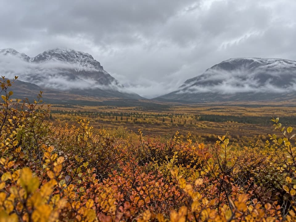
Glacier-geology panels sit beside the parking area. Gulkana and Gakona glaciers form from snowfields high in the range: layers of snow compact into ice, then the moving ice scrapes and gouges rock into broad U-shaped valleys. The long ridges and valleys in the view are part of that story.
A useful waysideThere is a picnic area with tables, viewing benches, bear-proof garbage cans and a vault toilet.
There is a picnic area with tables, viewing benches, bear-proof garbage cans and a vault toilet. The geology panels are beside the lot. If you want to reach Sevenmile Lake’s shore, its gravel access road is a separate turn about half a mile away; the wayside itself is the quick overlook.
Fit it into the driveThe stop is on the highway’s paved eastern end, before the pavement break around mile 21 from…
The stop is on the highway’s paved eastern end, before the pavement break around mile 21 from Paxson. The Denali Highway is seasonal and weather-sensitive, so check current road conditions before planning the drive.
Wildlife
Wildlife in Denali Highway
 56 sightingsMooseMost seen around 7 PMSighting map
 37 sightingsCaribouMost seen around 8 PMSighting map
 26 sightingsBald EagleMost seen around 11 AMSighting map
 33 sightingsTrumpeter SwanMost seen around 7 PMSighting map
 25 sightingsBeaverMost seen around 9 PMSighting map
 17 sightingsPorcupineMost seen around 10 PMSighting map
Sighting maps show where each species has been reported across Denali Highway. Wildlife moves, so no sighting is guaranteed.