Overview
About Clearwater Creek Wayside
Why stop
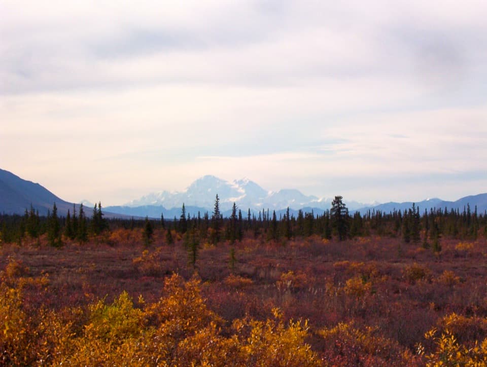
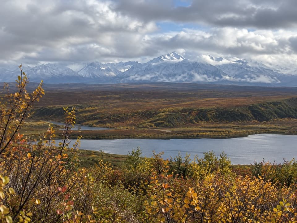
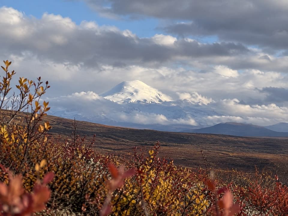
- Clear water, colorful rocks and a distant dome
Heads up
- A simple wayside rather than a developed campground
Map
Where it is

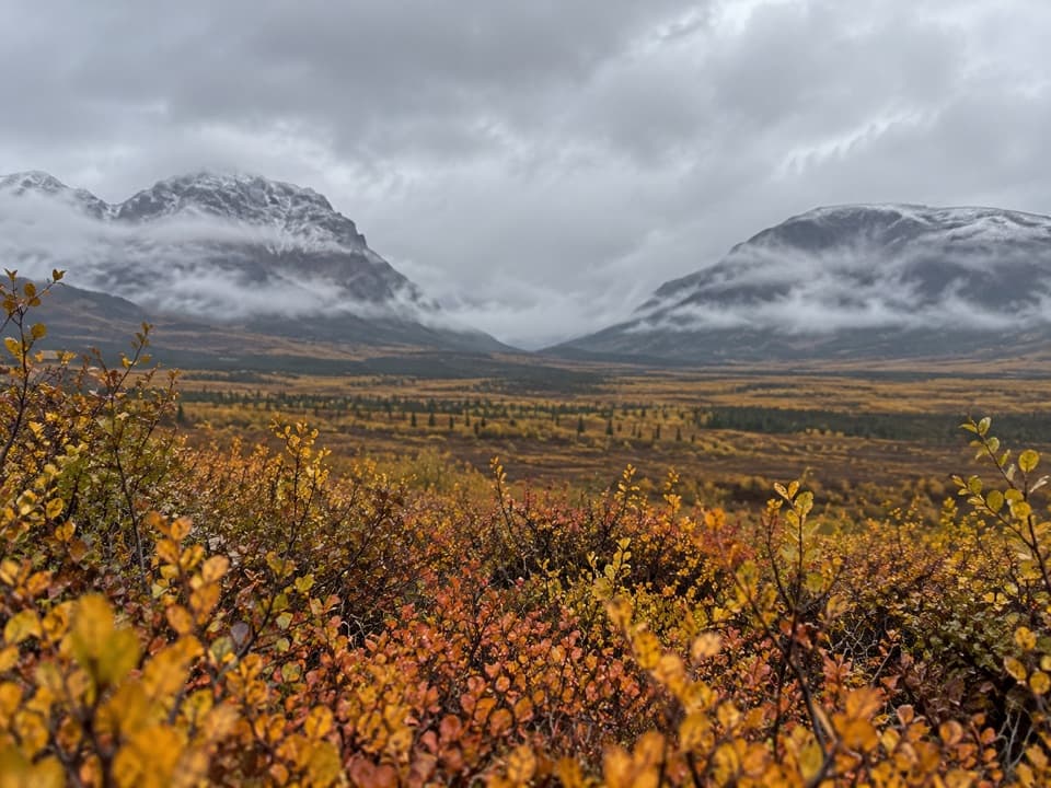
The highest, rockiest slopes around here are a summer buffet for grizzly bears.
Denali Highway Tour Guide
Your drive to Clearwater Creek Wayside, narrated.
Parkwolf is a GPS audio tour guide for Denali Highway. As you drive, it chimes in with what’s ahead: hidden gems, upcoming stops, history, geology, and wildlife, right through your car’s speakers.
See the Denali Highway audio tourRecorded for this place
Clearwater Creek Wayside: A Creekside Break“Clearwater Creek Wayside is coming up, a good place to break the drive beside two meeting creeks.”
Plays as you drive up to Clearwater Creek Wayside in the Parkwolf Denali Highway Tour Guide.
More stories near here in the app
- Ice Hidden Under the Rubble
- A Raven's False Hiding Places
- Rock Ground Finer Than Sand
- Thawed on Top, Frozen Below
- 96 audio storiesacross Denali Highway’s roads, triggered by GPS as you drive
- Wildlife heatmapsfor Moose, Caribou, Bald Eagle, and 10 more
- Works offlinemaps, 18 trails, 27 places, and audio download before you lose signal
- CarPlay readysimple controls built for the drive
“Fantastic app with many points of information… It’s great to just turn on while you’re driving and it gives you an audio tour of the national Park. We love it!!!!”


Guide
More about Clearwater Creek Wayside
A useful creek breakClearwater Creek Wayside is a gravel roadside stop on the south side of the Denali Highway at…
Clearwater Creek Wayside is a gravel roadside stop on the south side of the Denali Highway at MP 55.5, about 55 miles west of Paxson. It has a large parking area, a pit toilet, picnic table and fire rings, with space for a simple overnight stay under the posted 14-day limit. It is a useful place to pause, picnic or camp beside the creek, though it is a wayside rather than a developed campground.
At the confluenceTwo creeks meet here.
Two creeks meet here. The larger Clearwater is about 100 feet wide, with clear water moving over multicolored boulders; a dome roughly 2,000 feet high rises about ten miles away. Bluebells grow by the wayside, and the brush along the water draws swallows, dippers, warblers and sparrows. Grayling use deeper pools, though none of that wildlife is guaranteed on a short stop.
One stop, two usesThis is a quiet creek pause for a picnic, a bit of fishing or a night beside the road.
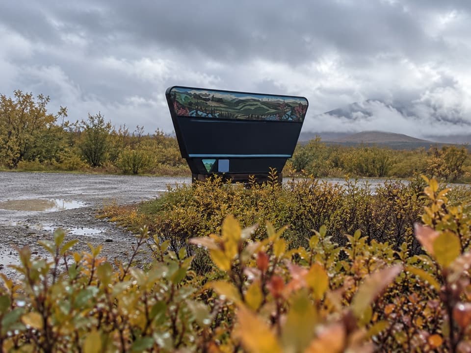
This is a quiet creek pause for a picnic, a bit of fishing or a night beside the road. It also gives motorized users access to Clearwater Creek South Trail. If you step down to the creek bottom, put clear water and colored boulders in the foreground with the dome beyond; that view has more depth than a photo of the parking-area sign alone.
Fit it into the driveThe Denali Highway runs 135 miles between Paxson and Cantwell Junction and is mostly unpaved.
The Denali Highway runs 135 miles between Paxson and Cantwell Junction and is mostly unpaved. Services can be 20 to 55 miles apart, so get your food and fuel sorted before setting out. The highway generally opens from mid-May to about October 1, and snowdrifts can block it outside that season. It is also a historic and archaeological route, with this wayside offering a simple look at its creekside landscape.
Wildlife
Wildlife in Denali Highway
 56 sightingsMooseMost seen around 7 PMSighting map
 37 sightingsCaribouMost seen around 8 PMSighting map
 26 sightingsBald EagleMost seen around 11 AMSighting map
 33 sightingsTrumpeter SwanMost seen around 7 PMSighting map
 25 sightingsBeaverMost seen around 9 PMSighting map
 17 sightingsPorcupineMost seen around 10 PMSighting map
Sighting maps show where each species has been reported across Denali Highway. Wildlife moves, so no sighting is guaranteed.