Overview
About Maclaren Summit
Why stop
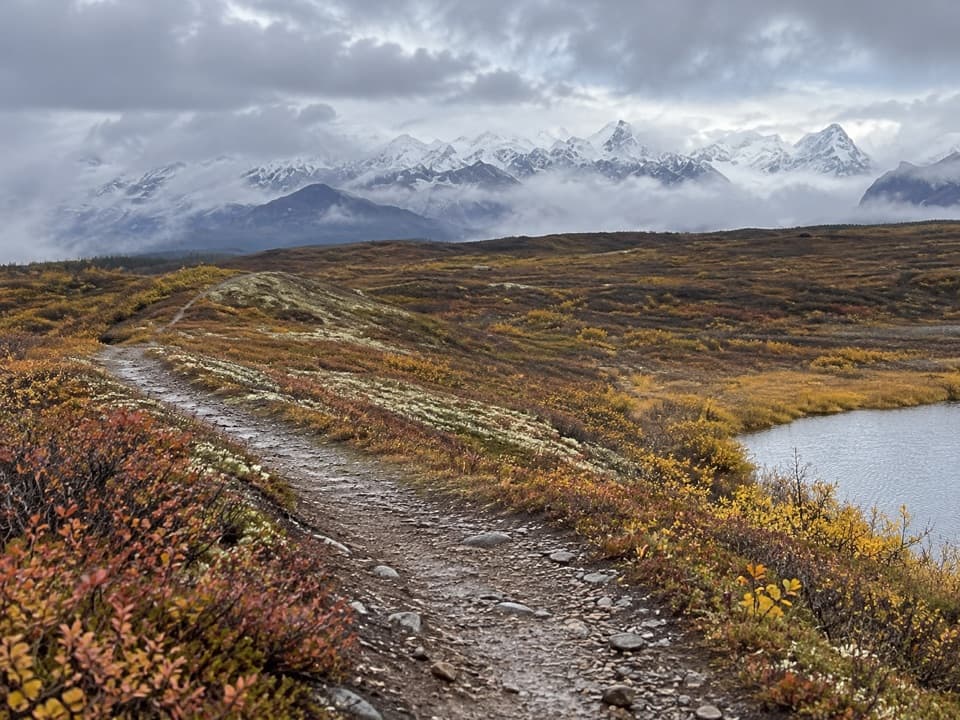
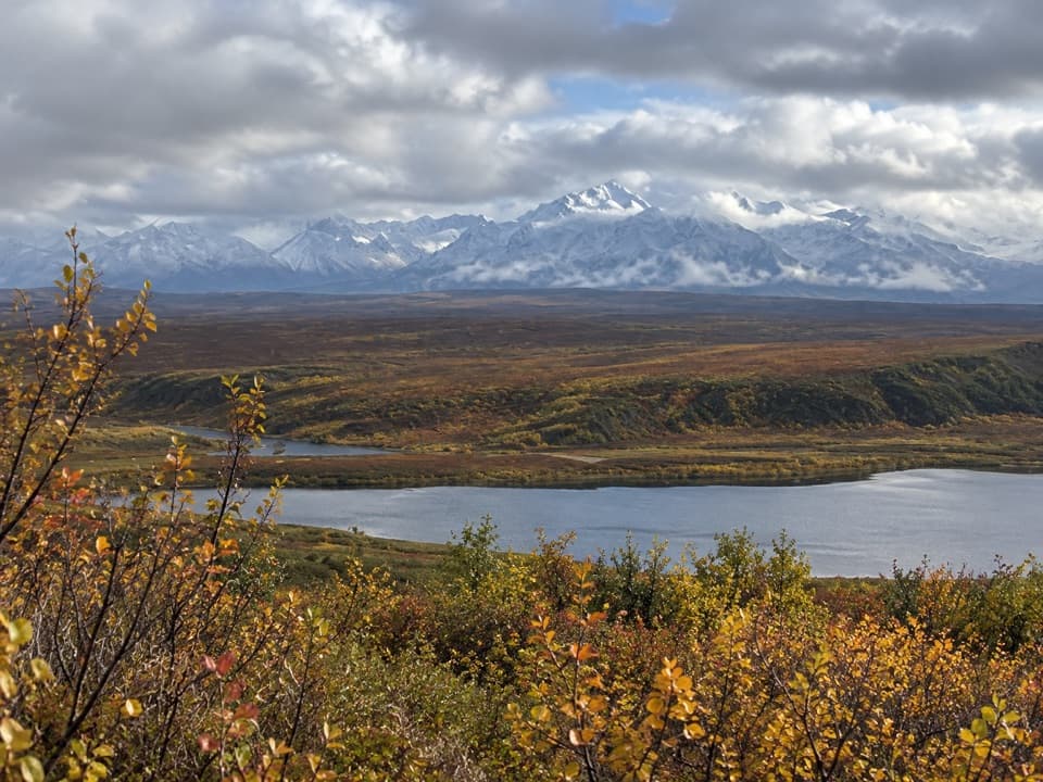
- The high pass opens onto a broad Alaska Range and Maclaren River panorama.
Heads up
- Cloud and wind can diminish the exposed summit view.
Map
Where it is

The highest, rockiest slopes around here are a summer buffet for grizzly bears.
Denali Highway Tour Guide
Your drive to Maclaren Summit, narrated.
Parkwolf is a GPS audio tour guide for Denali Highway. As you drive, it chimes in with what’s ahead: hidden gems, upcoming stops, history, geology, and wildlife, right through your car’s speakers.
See the Denali Highway audio tourRecorded for this place
Maclaren Summit: A Short Walk Above the Valley“You're approaching Maclaren Summit, where the road crests at about four thousand feet above the Maclaren River valley. In clear weather, look for Mount Hayes rising beyond the river and Maclaren Glacier in the distance.”
Plays as you drive up to Maclaren Summit in the Parkwolf Denali Highway Tour Guide.
More stories near here in the app
- Why Moving Ice Cracks
- A Flagpole High on Denali
- Why Tundra Plants Hug the Ground
- Spinning for Supper
- 96 audio storiesacross Denali Highway’s roads, triggered by GPS as you drive
- Wildlife heatmapsfor Moose, Caribou, Bald Eagle, and 10 more
- Works offlinemaps, 18 trails, 27 places, and audio download before you lose signal
- CarPlay readysimple controls built for the drive
“Fantastic app with many points of information… It’s great to just turn on while you’re driving and it gives you an audio tour of the national Park. We love it!!!!”


Guide
More about Maclaren Summit
Alaska Range and Maclaren River ViewpointMaclaren Summit is a high, open pass on the Denali Highway, where the road crests above the…
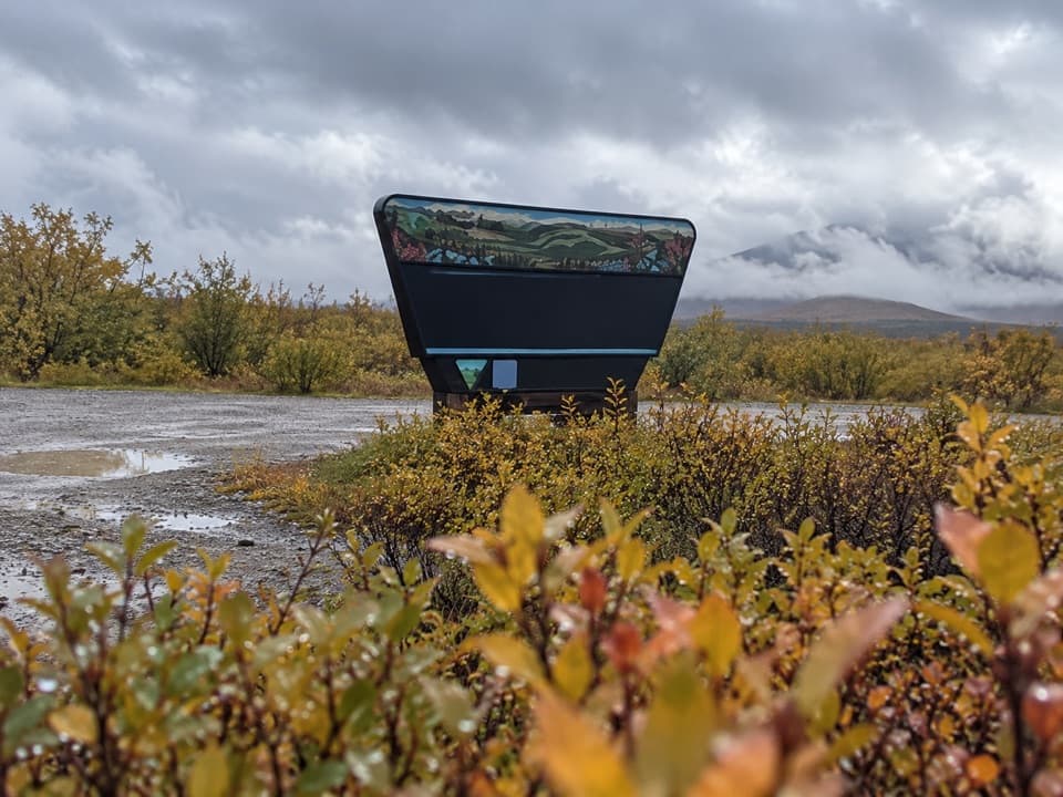
Maclaren Summit is a high, open pass on the Denali Highway, where the road crests above the Maclaren River valley. At about 4,000 feet, this is one of the route’s defining stops. Pull into an established turnout or nearby trailhead parking; the summit area has several pullouts rather than one clearly defined lot.
The viewMount Hayes rises above the Maclaren River, with Maclaren Glacier visible in the distance when…
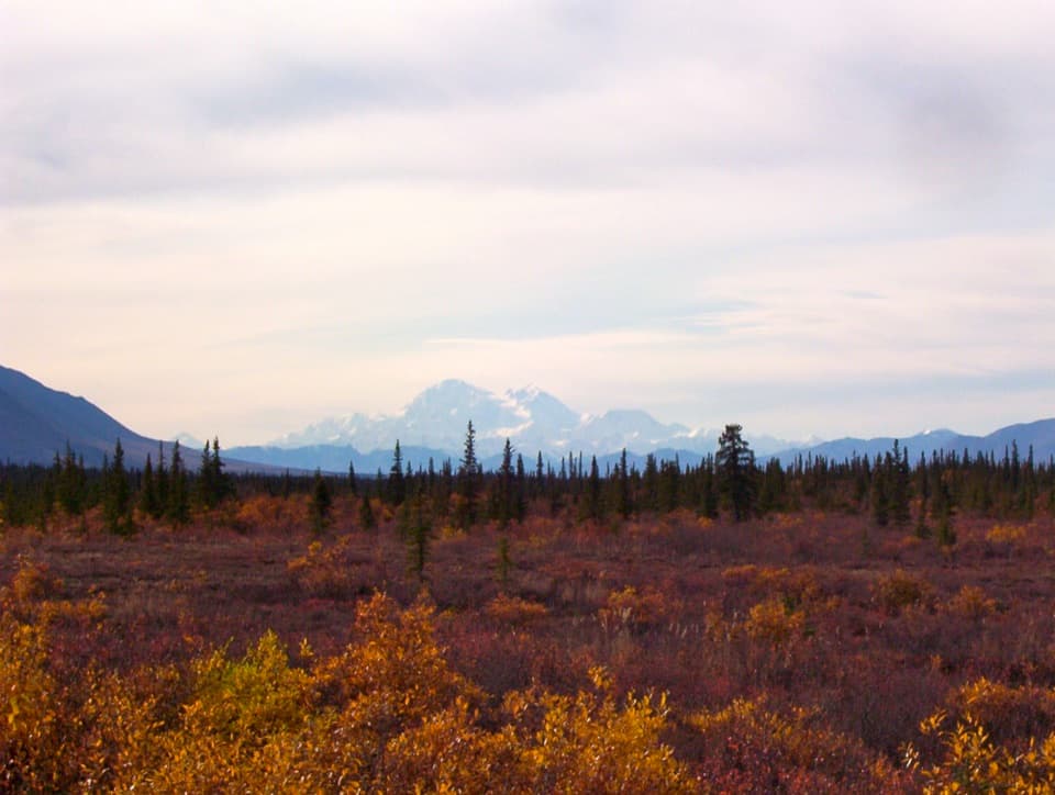
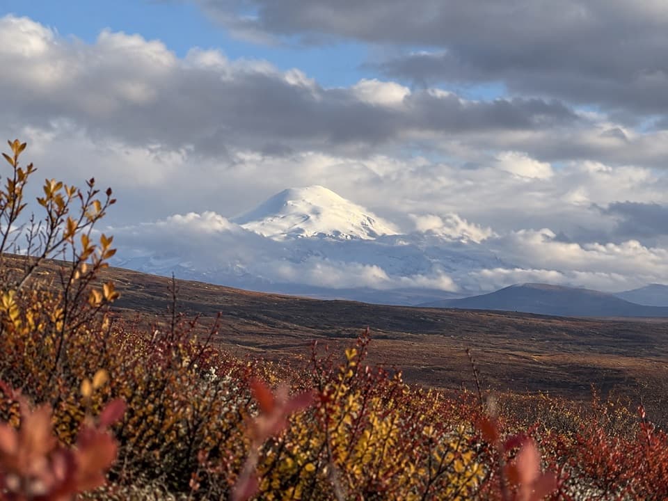
Mount Hayes rises above the Maclaren River, with Maclaren Glacier visible in the distance when the weather is clear. Aurora Peak, Mount Shand and Mount Geist may also appear across the Alaska Range. Clouds can quickly hide the longer views, and the high, open pass is exposed to wind. From a turnout, frame the river valley below Mount Hayes; a short walk onto the tundra gives a wider view.
A short tundra walkParking is available at several highway pullouts and at the nearby Osar and Maclaren Summit…
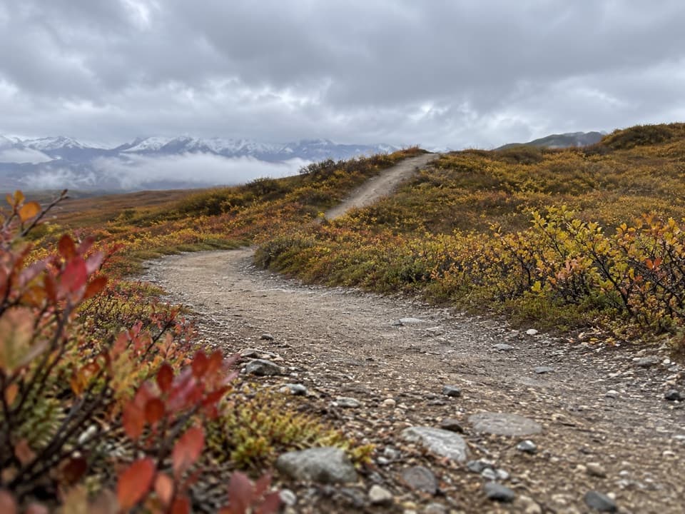
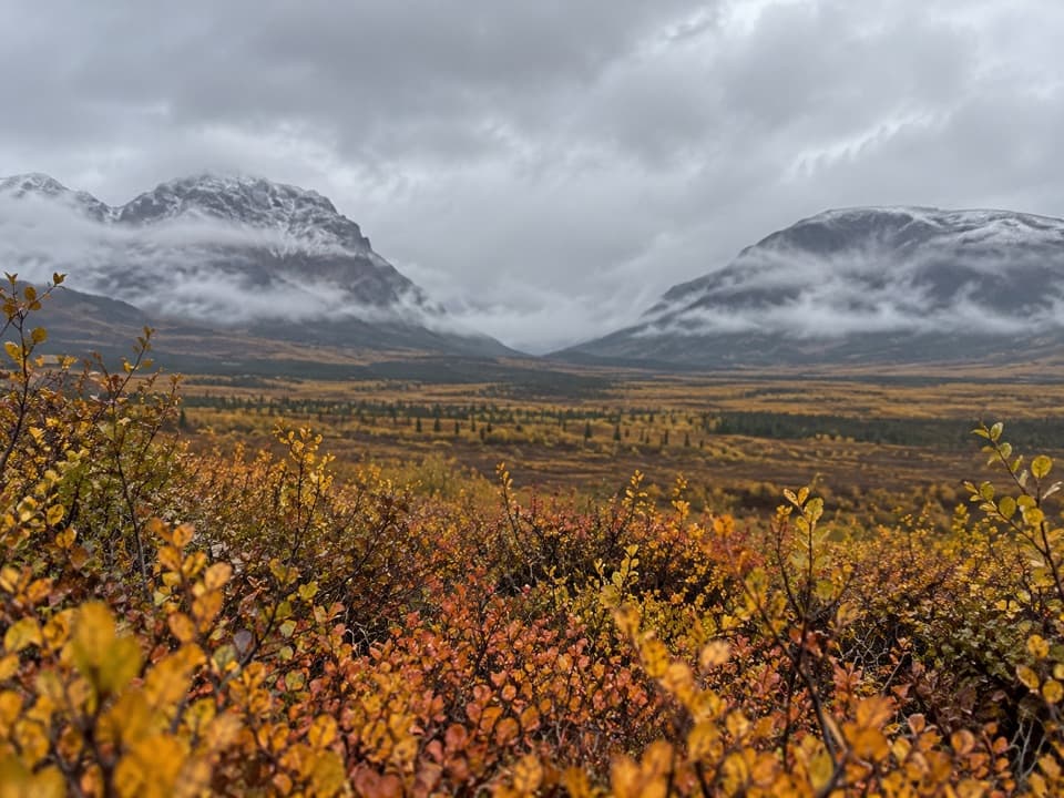
Parking is available at several highway pullouts and at the nearby Osar and Maclaren Summit trailheads. Short out-and-back walks of roughly 10–20 minutes lead onto low alpine tundra. In June and July, wildflowers can color the otherwise open highlands. Pikas, ground squirrels and ptarmigan are among the animals visitors may spot, but sightings are not guaranteed.
A divide between watershedsThe pass sits near a major drainage divide.
The pass sits near a major drainage divide. Water from the glacier-fed Maclaren River flows south toward the Susitna River and Cook Inlet; a few miles east, the Tangle Lakes and Delta River drain north through the Tanana and Yukon system toward the Bering Sea. The landscape around the summit is part of two very different watersheds.
Plan the driveThe summit is directly on the Denali Highway (AK-8), between Paxson and Cantwell.
The summit is directly on the Denali Highway (AK-8), between Paxson and Cantwell. The highway is generally open from mid-May to October 1, though snow can block it outside that season. Most of the 135-mile road is gravel; the BLM recommends 35 mph or less and warns about flying rocks when passing. Fuel is available in Cantwell, not Paxson, so plan before setting out. The BLM identifies the summit wayside for day use only, with no camping. Bring food and water; no summit food, potable water or restrooms were documented.
Wildlife
Wildlife in Denali Highway
 56 sightingsMooseMost seen around 7 PMSighting map
 37 sightingsCaribouMost seen around 8 PMSighting map
 26 sightingsBald EagleMost seen around 11 AMSighting map
 33 sightingsTrumpeter SwanMost seen around 7 PMSighting map
 25 sightingsBeaverMost seen around 9 PMSighting map
 17 sightingsPorcupineMost seen around 10 PMSighting map
Sighting maps show where each species has been reported across Denali Highway. Wildlife moves, so no sighting is guaranteed.