Overview
About Maclaren Glacier Viewpoint
Why stop
- The river crossing and glacier-shaped valley make a distinctive roadside pause.
Heads up
- The glacier is a distant view, not a close-up stop.
Map
Where it is

The highest, rockiest slopes around here are a summer buffet for grizzly bears.
Denali Highway Tour Guide
Your drive to Maclaren Glacier Viewpoint, narrated.
Parkwolf is a GPS audio tour guide for Denali Highway. As you drive, it chimes in with what’s ahead: hidden gems, upcoming stops, history, geology, and wildlife, right through your car’s speakers.
See the Denali Highway audio tourRecorded for this place
Maclaren River: Valley View and a Roadhouse Meal“You're coming up on the Maclaren River crossing and Maclaren River Lodge. I'd stop for the wide river valley, with gravel bars below the snowy mountains.”
Plays as you drive up to Maclaren Glacier Viewpoint in the Parkwolf Denali Highway Tour Guide.
More stories near here in the app
- A Redpoll's Built-In Seed Store
- The Pika's Summer Hay Harvest
- Crazy Notch: Through the Glacier’s Old Ridge
- Why Tundra Plants Hug the Ground
- 96 audio storiesacross Denali Highway’s roads, triggered by GPS as you drive
- Wildlife heatmapsfor Moose, Caribou, Bald Eagle, and 10 more
- Works offlinemaps, 18 trails, 27 places, and audio download before you lose signal
- CarPlay readysimple controls built for the drive
“Fantastic app with many points of information… It’s great to just turn on while you’re driving and it gives you an audio tour of the national Park. We love it!!!!”


Guide
More about Maclaren Glacier Viewpoint
Stop for the river valleyMaclaren Glacier Viewpoint is a roadside pullout at the Maclaren River bridge, mile 42 on the…
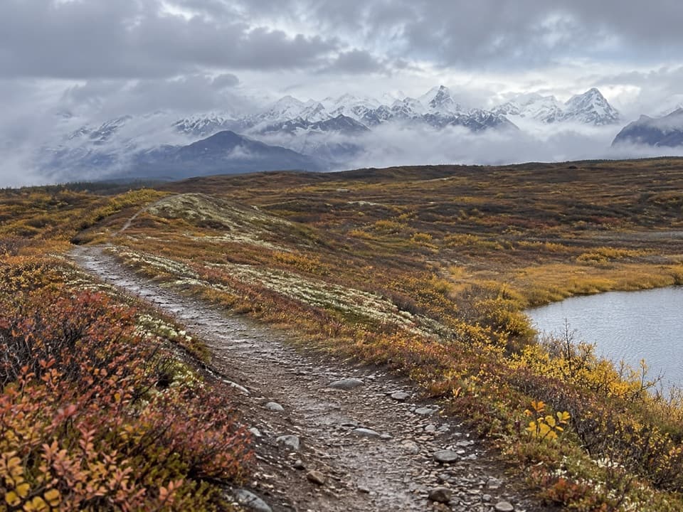
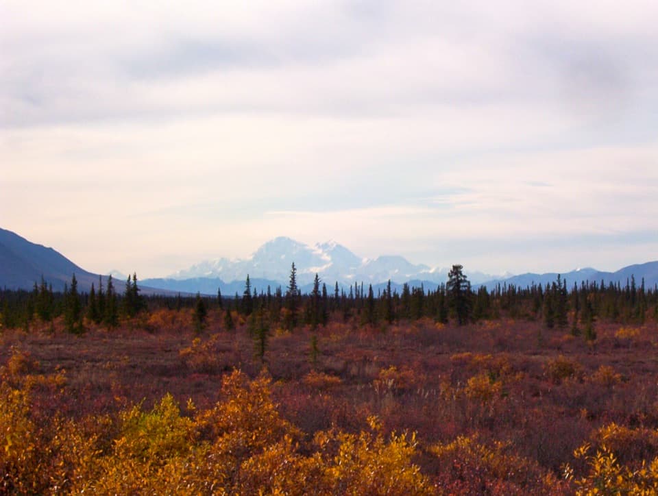
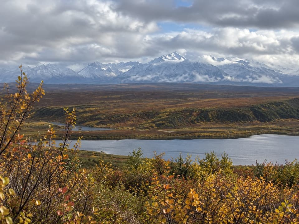
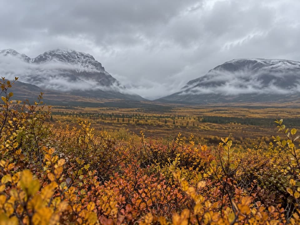
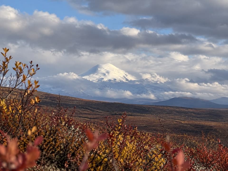
Maclaren Glacier Viewpoint is a roadside pullout at the Maclaren River bridge, mile 42 on the Denali Highway. From here you look across the river valley toward the Maclaren Glacier, about 16 miles away. I'd stop for the broad river crossing and open mountain view; treat the glacier as a distant detail, not a close-up destination.
Two views from the crossingThe river and its gravel bars give the view a strong foreground, with snowy mountains along the…
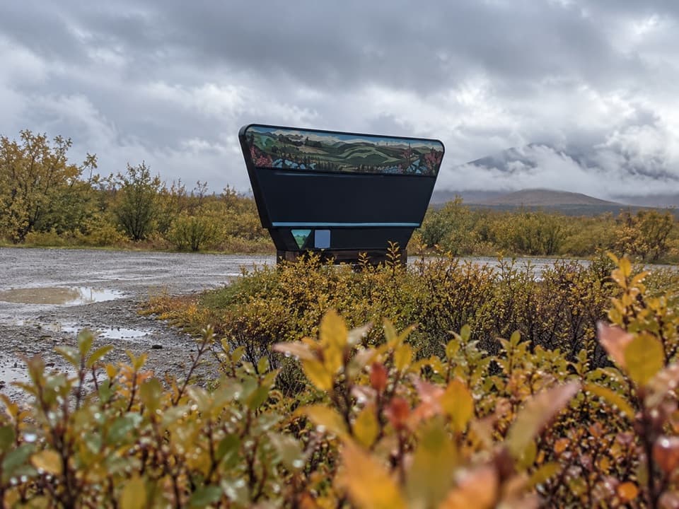
The river and its gravel bars give the view a strong foreground, with snowy mountains along the skyline behind them. Keep both in the frame so the wide valley reads clearly. The bridge and its Maclaren River sign make a second, more recognizable angle; take that from the pullout rather than the travel lane.
The glacier shaped more than the skylineMaclaren Glacier once flowed through this valley and left a lateral moraine, a ridge of rock…
Maclaren Glacier once flowed through this valley and left a lateral moraine, a ridge of rock debris along the ice. Farther along the highway, meltwater cut through that ridge to form Crazy Notch. The glacier is a distant view here, but its path explains the shape of the country around you.
Plan the stop with the driveThe viewpoint is at MP 42 on the 135-mile Denali Highway between Paxson and Cantwell; much of…
The viewpoint is at MP 42 on the 135-mile Denali Highway between Paxson and Cantwell; much of the road is gravel and it closes in winter. A large parking area and maintained pit toilet sit on the south side of the highway, with informal parking on the north side. Check seasonal road access before planning around the stop.
Wildlife
Wildlife in Denali Highway
 56 sightingsMooseMost seen around 7 PMSighting map
 37 sightingsCaribouMost seen around 8 PMSighting map
 26 sightingsBald EagleMost seen around 11 AMSighting map
 33 sightingsTrumpeter SwanMost seen around 7 PMSighting map
 25 sightingsBeaverMost seen around 9 PMSighting map
 17 sightingsPorcupineMost seen around 10 PMSighting map
Sighting maps show where each species has been reported across Denali Highway. Wildlife moves, so no sighting is guaranteed.