Overview
About Wrangell Mountain Viewpoint
Why stop
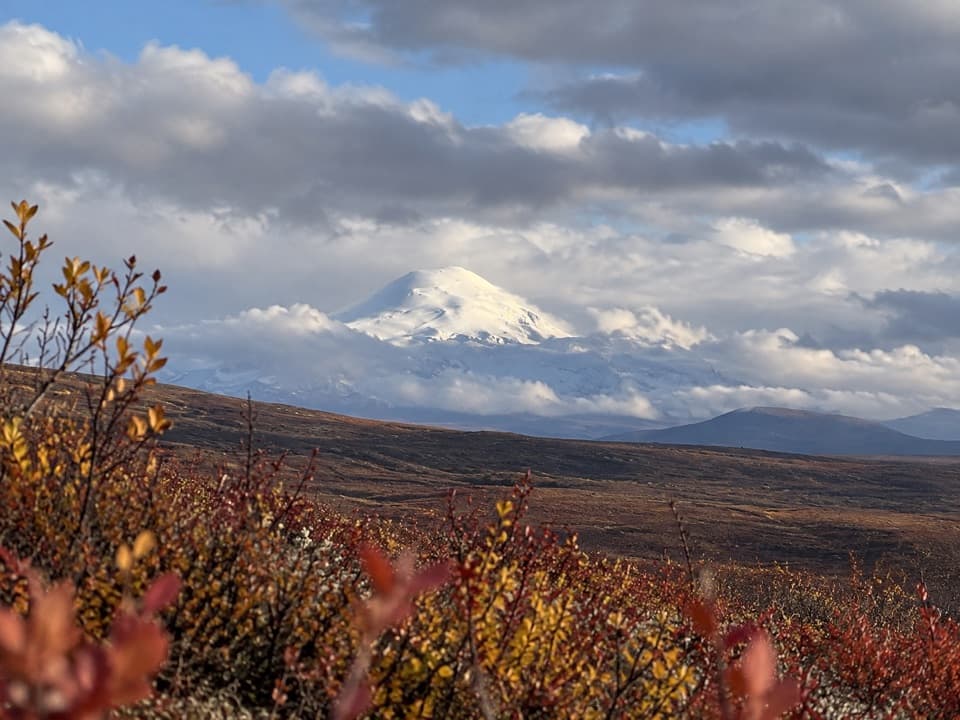
- A broad view that brings Sanford, Drum and Mount Wrangell into one skyline.
Heads up
- The peaks are far off and the view is weather-dependent.
Map
Where it is

The highest, rockiest slopes around here are a summer buffet for grizzly bears.
Denali Highway Tour Guide
Your drive to Wrangell Mountain Viewpoint, narrated.
Parkwolf is a GPS audio tour guide for Denali Highway. As you drive, it chimes in with what’s ahead: hidden gems, upcoming stops, history, geology, and wildlife, right through your car’s speakers.
See the Denali Highway audio tourRecorded for this place
Wrangell Mountain Viewpoint: Three Distant Peaks“Wrangell Mountain Viewpoint is coming up, with a view across the Copper Basin to mountains about seventy-eight air miles away. Give this one a few minutes if the distant peaks are clear.”
Plays as you drive up to Wrangell Mountain Viewpoint in the Parkwolf Denali Highway Tour Guide.
More stories near here in the app
- Swede Mountain Trail: Climb to the Cairn
- Tangle River Inn: A Roadhouse with a Lake View
- Copper Worked with Stone
- Tangle Lakes: Choose Your Lakeside Stop
- 96 audio storiesacross Denali Highway’s roads, triggered by GPS as you drive
- Wildlife heatmapsfor Moose, Caribou, Bald Eagle, and 10 more
- Works offlinemaps, 18 trails, 27 places, and audio download before you lose signal
- CarPlay readysimple controls built for the drive
“Fantastic app with many points of information… It’s great to just turn on while you’re driving and it gives you an audio tour of the national Park. We love it!!!!”


Guide
More about Wrangell Mountain Viewpoint
What you're stopping forWrangell Mountain Viewpoint is a roadside panorama on the Denali Highway, where low, brushy…
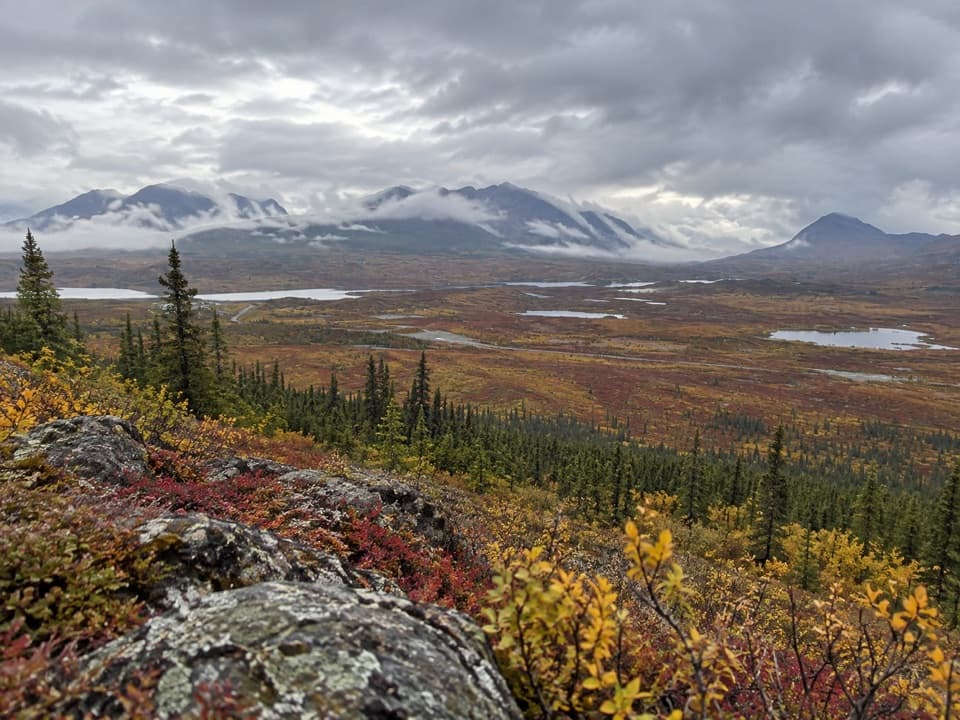
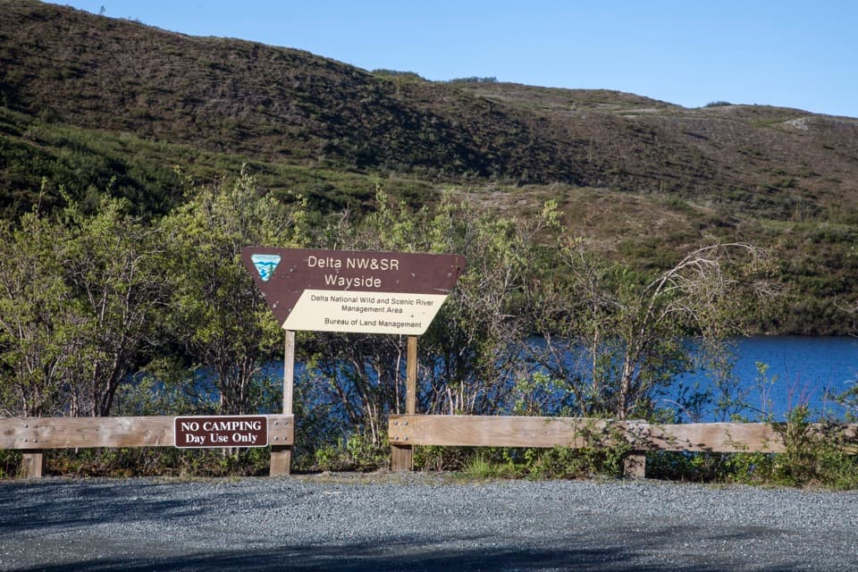
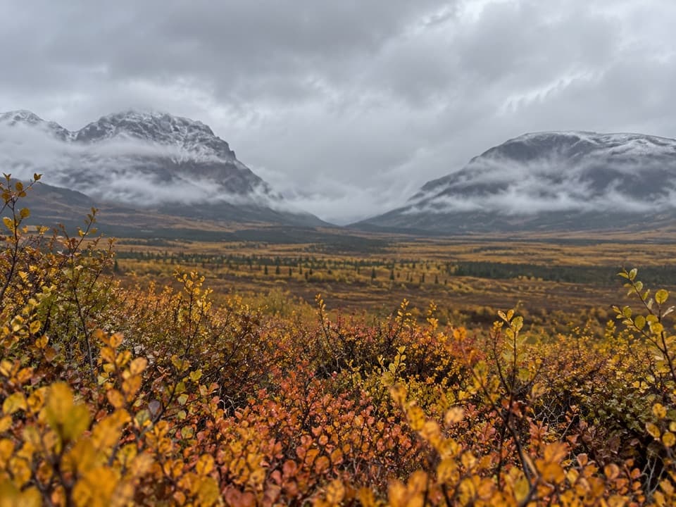
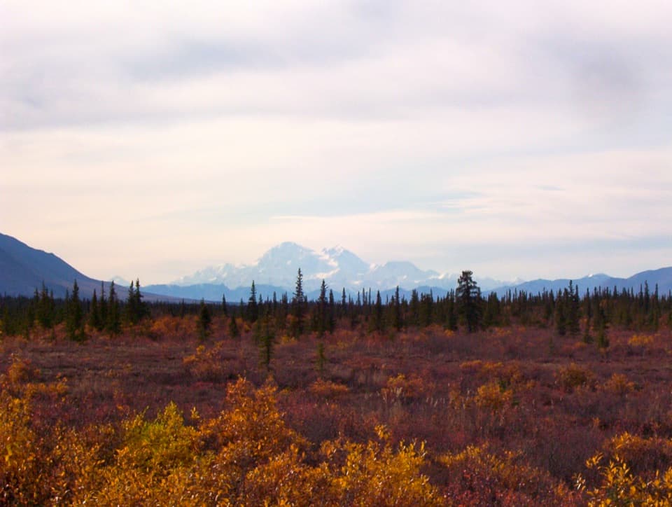
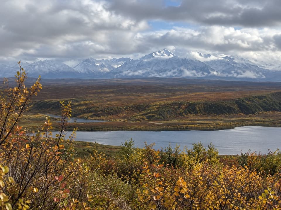
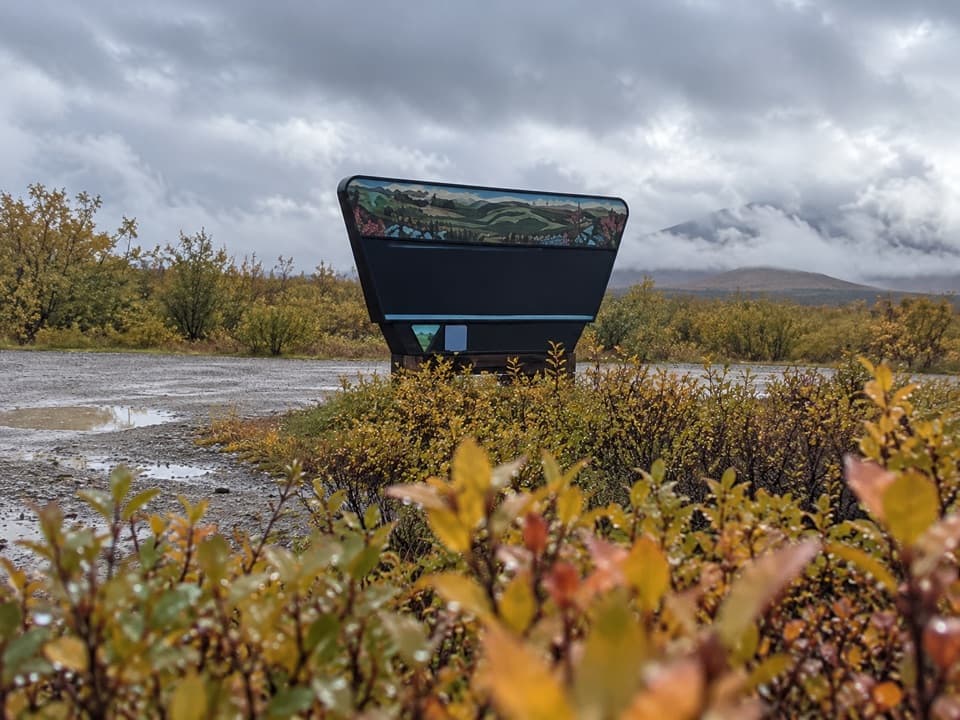
Wrangell Mountain Viewpoint is a roadside panorama on the Denali Highway, where low, brushy hills open toward the Wrangell Mountains across the Copper Basin. The range is about 78 air miles southeast, so keep this stop for a clear stretch of weather; low cloud can hide the peaks. The orientation sign is on the south side of the road and helps you read the skyline.
Pick out the peaksLooking southeast, Mount Sanford (16,237 feet) is on the left, Mount Drum (12,010 feet) on the…
Looking southeast, Mount Sanford (16,237 feet) is on the left, Mount Drum (12,010 feet) on the right, and Mount Wrangell (14,163 feet) between them. The highway winds through the foreground, with dwarf birch, willow and occasional spruce on the rolling hills. Include a strip of foreground brush or road in a photo; it gives the distant mountains a sense of scale.
A volcano in the lineupMount Wrangell is one of the world's largest active volcanoes by volume.
Mount Wrangell is one of the world's largest active volcanoes by volume. Steam sometimes rises from vents around its summit caldera, especially in winter or on cool summer mornings. Minor eruptive activity is recorded in 1784, 1884–85, 1900, 1914 and 1930; from this far away, treat steam as a lucky sight rather than something to expect.
Plan for the highwayThe viewpoint is mile 13 from Paxson and mile 122 from Cantwell on a 135-mile route.
The viewpoint is mile 13 from Paxson and mile 122 from Cantwell on a 135-mile route. The mostly gravel highway has soft spots and rough patches, and many rental agreements prohibit it, so check yours before setting out. Services and cell coverage are limited along the drive. The road is generally maintained from mid-May into mid-September and closed to vehicles through winter.
Wildlife
Wildlife in Denali Highway
 56 sightingsMooseMost seen around 7 PMSighting map
 37 sightingsCaribouMost seen around 8 PMSighting map
 26 sightingsBald EagleMost seen around 11 AMSighting map
 33 sightingsTrumpeter SwanMost seen around 7 PMSighting map
 25 sightingsBeaverMost seen around 9 PMSighting map
 17 sightingsPorcupineMost seen around 10 PMSighting map
Sighting maps show where each species has been reported across Denali Highway. Wildlife moves, so no sighting is guaranteed.