Overview
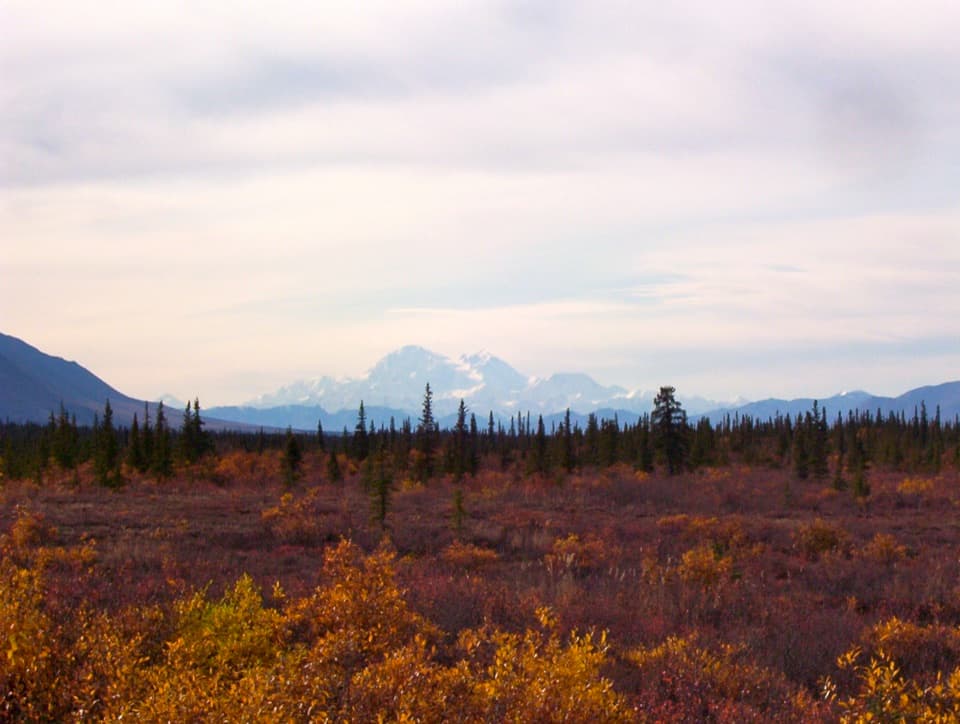
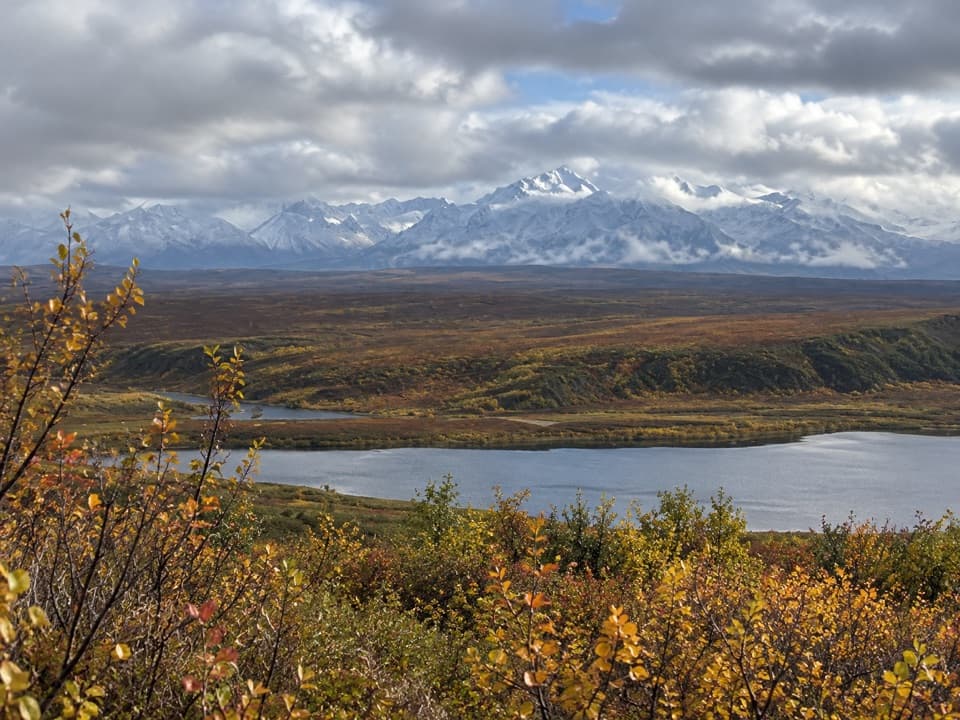
About Nenana River Viewpoint
Why stop
- A roadside chance to see the Nenana up close.
Heads up
- Summer glacial silt clouds the water and makes fishing poor.
Map
Where it is

The highest, rockiest slopes around here are a summer buffet for grizzly bears.
Denali Highway Tour Guide
Your drive to Nenana River Viewpoint, narrated.
Parkwolf is a GPS audio tour guide for Denali Highway. As you drive, it chimes in with what’s ahead: hidden gems, upcoming stops, history, geology, and wildlife, right through your car’s speakers.
See the Denali Highway audio tourRecorded for this place
Nenana River Viewpoint: A Glacial River Bend“Up ahead is Nenana River Viewpoint, a quick roadside stop for the broad river bend and spruce-covered slopes. Summer water carries silt from Nenana Glacier, so choose this for the view rather than fishing.”
Plays as you drive up to Nenana River Viewpoint in the Parkwolf Denali Highway Tour Guide.
More stories near here in the app
- A Whistle Made with Tail Feathers
- How Fireweed Finds New Ground
- A Caribou's All-Purpose Feet
- Antlers Don't Always Mean Male
- 96 audio storiesacross Denali Highway’s roads, triggered by GPS as you drive
- Wildlife heatmapsfor Moose, Caribou, Bald Eagle, and 10 more
- Works offlinemaps, 18 trails, 27 places, and audio download before you lose signal
- CarPlay readysimple controls built for the drive
“Fantastic app with many points of information… It’s great to just turn on while you’re driving and it gives you an audio tour of the national Park. We love it!!!!”


Guide
More about Nenana River Viewpoint
A simple river stopNenana River Viewpoint is a gravel roadside turnout on the Denali Highway at mile 116.
Nenana River Viewpoint is a gravel roadside turnout on the Denali Highway at mile 116.5 from Paxson, or mile 18.5 from Cantwell. It’s a quick stop for the river rather than a hike. The road comes down close to the water in a few places along this stretch, and the Nenana is cold enough that even a quick dip won’t last long.
A silty summer riverFed by Nenana Glacier, the river carries glacial silt in summer, so the water turns cloudy and…
Fed by Nenana Glacier, the river carries glacial silt in summer, so the water turns cloudy and fishing is poor. Its rapids are a draw for whitewater runners. The Nenana joins the Tanana, which flows into the Yukon and eventually reaches the Bering Sea.
Photograph the bendThe river curls around gravel bars below spruce-covered slopes and mountains.
The river curls around gravel bars below spruce-covered slopes and mountains. For a phone photo, keep a gravel bar and the far bank in the frame; that gives the broad bend some scale.
Wildlife
Wildlife in Denali Highway
 56 sightingsMooseMost seen around 7 PMSighting map
 37 sightingsCaribouMost seen around 8 PMSighting map
 26 sightingsBald EagleMost seen around 11 AMSighting map
 33 sightingsTrumpeter SwanMost seen around 7 PMSighting map
 25 sightingsBeaverMost seen around 9 PMSighting map
 17 sightingsPorcupineMost seen around 10 PMSighting map
Sighting maps show where each species has been reported across Denali Highway. Wildlife moves, so no sighting is guaranteed.