
Place · 4.9 mi away
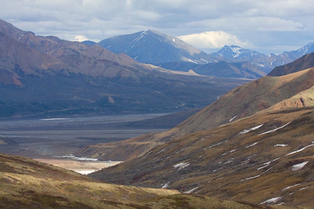
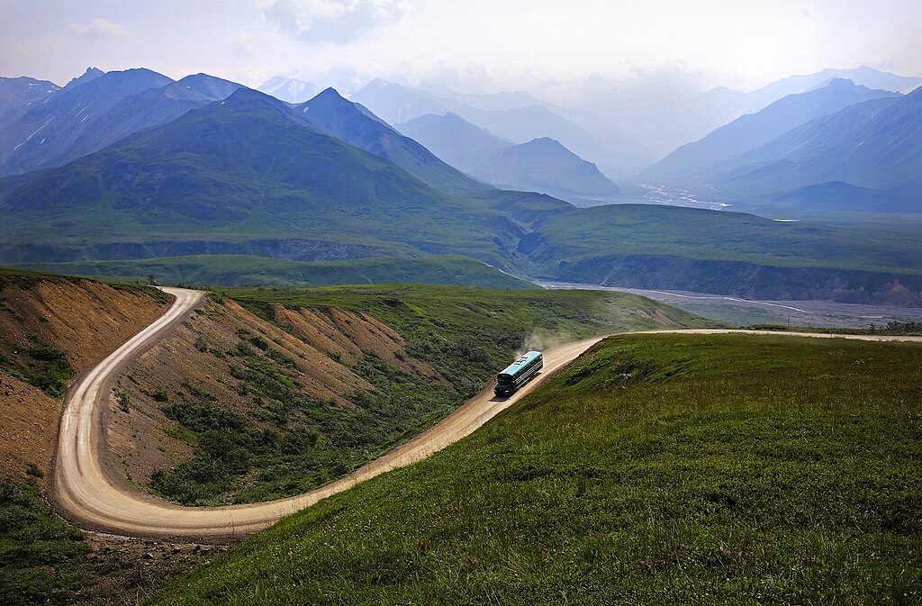
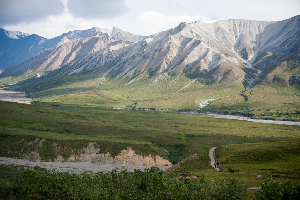
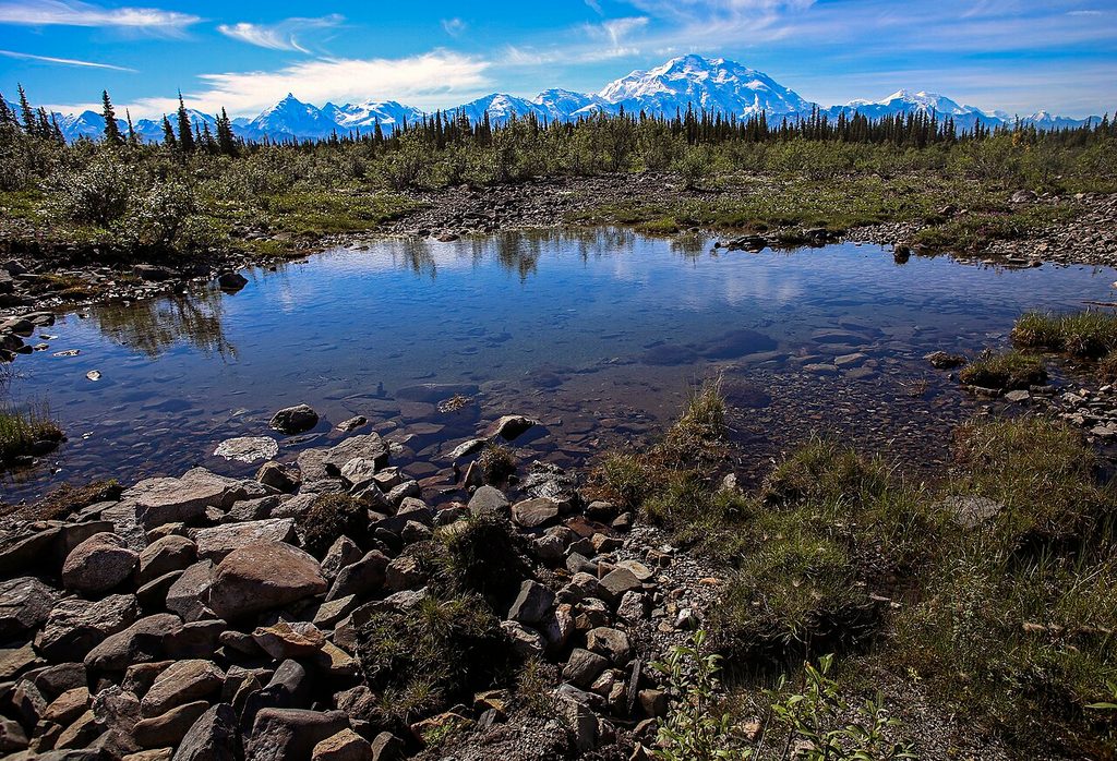
Highway Pass is the high point of the Park Road, topping out around 3,980 feet and sitting roughly at mile 58.7. You’re well above the treeline here, in open alpine tundra with wide‑open views in every direction.
This isn’t just another roadside bend—it’s the highest place you can reach on the Park Road, and it’s even counted among Alaska’s highest maintained road passes. The openness makes the landscape feel vast and wild, a real you‑are‑in‑Denali moment.
Right at the summit, an unnamed creek spreads into an alluvial fan that can tip its flow in either direction depending on conditions. Water may drain east into Highway Creek or west into Stony Creek, only to reunite about 30 miles down at the Toklat River. It’s a neat, rare split‑drainage feature you can ponder while you soak up the views.
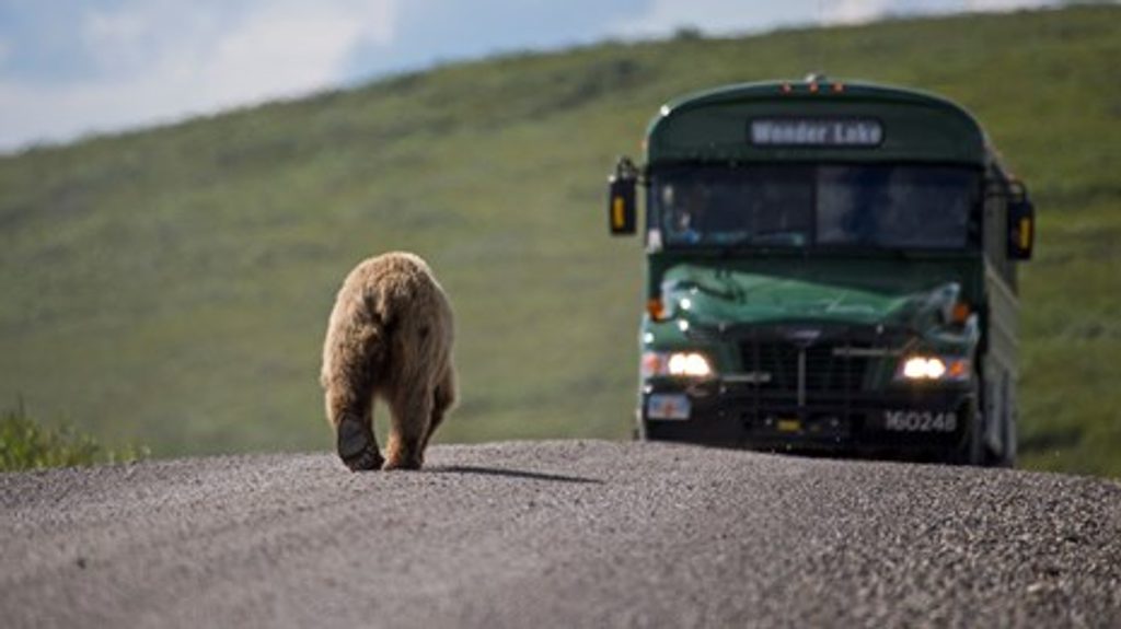
Because the terrain is so open, this is a solid spot to scan for Dall sheep, caribou, and grizzly bears, with the occasional wolf or fox. Birders watch for tundra raptors and ground‑nesters. As always in Denali, sightings aren’t guaranteed—time and patience help.
Only the first 15 miles of the Park Road are open to personal vehicles. Highway Pass is far beyond that, so plan on using authorized park transportation (tour or transit buses) to reach it. It’s a common, notable stop along those routes.
It’s exposed and can be windy and cool even on summer days. Weather can swing quickly—clear one minute, socked in with fog the next. No structures, no restrooms, no water—just road and tundra.
Bring binoculars or a zoom lens to make the most of distant wildlife and sweeping ridgelines. Clear days reward you with big panoramas across the Alaska Range; even moody weather gives dramatic light and texture over the tundra.
Layers for wind and chill, plus rain gear. Carry water and snacks since there are no services here. Sunglasses and sunscreen help—the high, treeless plateau reflects a lot of light.
Place · 4.9 mi away
Place · 7.5 mi away
Place · 7.5 mi away
Place · 16.3 mi away
Challenging · 5.5 mi away
Moderate · 5.5 mi away
Easy · 5.5 mi away
Moderate · 21.4 mi away

Parkwolf Tour Guide
