Parking
The NPS directs visitors to the Backcountry Information Center for exact parking and travel directions. The Windy Creek Trailhead map pin identifies the access area, not a verified parking space.
Denali National Park, AK
A marked, 3-mile route from Cantwell to Windy Creek.
Overview
Map & elevation
Plan your hike

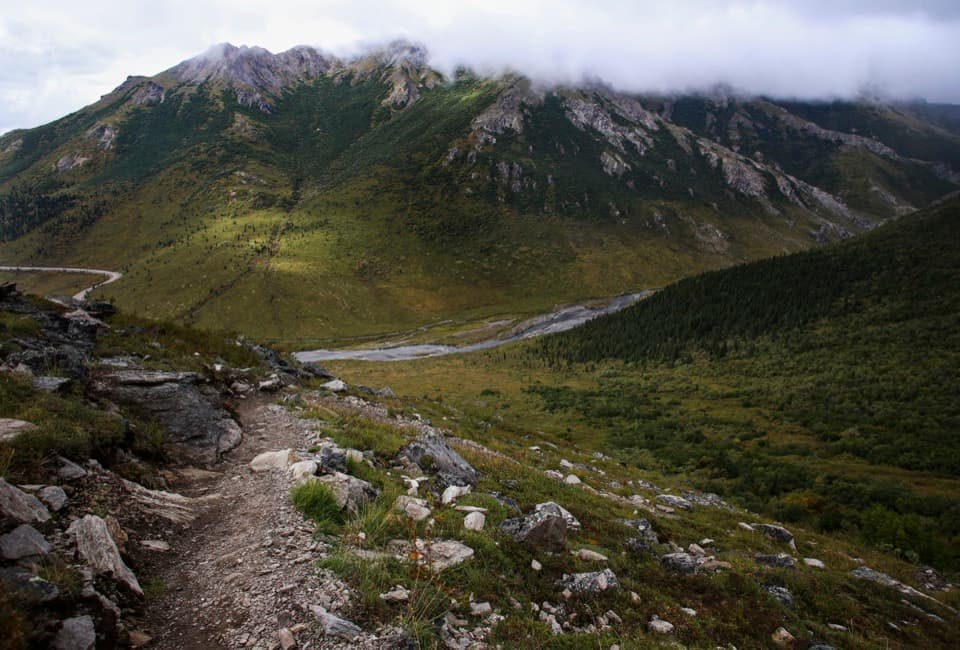
The highest, rockiest slopes around here are a summer buffet for grizzly bears.
Denali Tour Guide
Parkwolf is a GPS audio tour guide for Denali National Park. As you drive, it chimes in with what’s ahead: hidden gems, upcoming stops, history, geology, and wildlife, right through your car’s speakers.
See the Denali audio tour“Fantastic app with many points of information… It’s great to just turn on while you’re driving and it gives you an audio tour of the national Park. We love it!!!!”


Trail guide
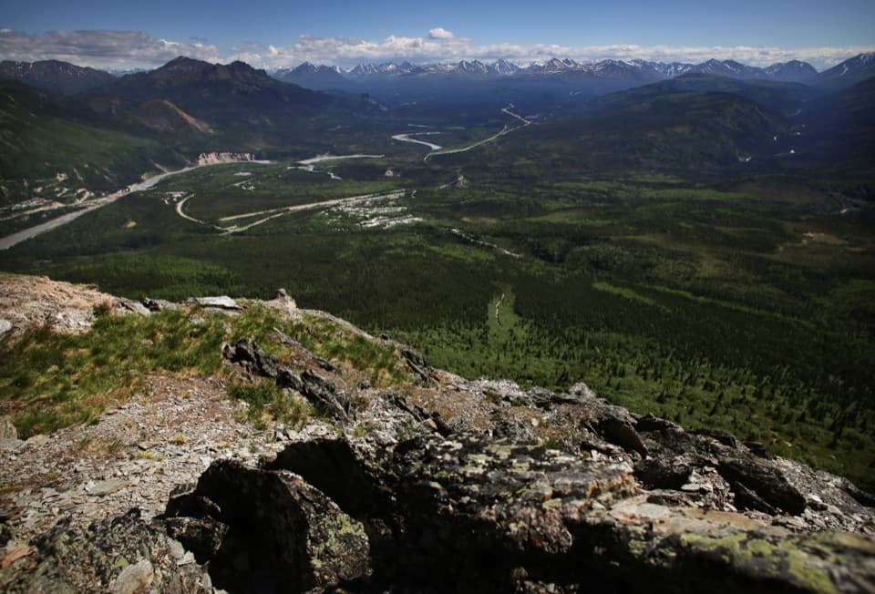
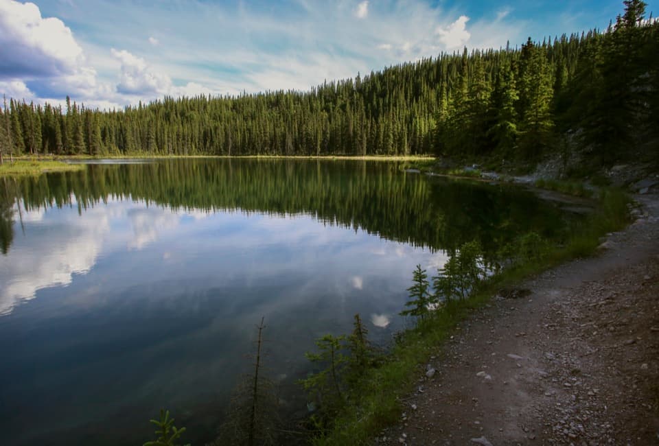
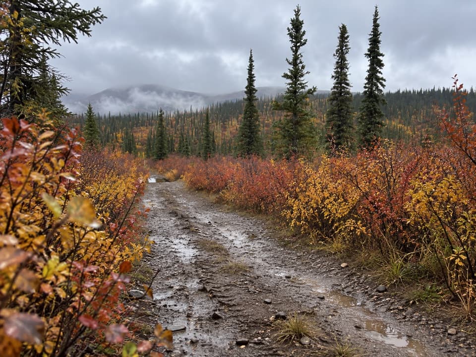
Windy Creek’s public easement is a roughly 3-mile point-to-point walk from northwest Cantwell to the creek, crossing a low ridge. It’s an access route into Denali’s remote Unit 16, not the longer hikes up the creek or toward the passes. Walk back the same way for about 6 miles round trip; allow roughly 3 to 4 hours as a planning estimate. The NPS doesn’t publish a walking time.
This public corridor crosses private property. The NPS marks it with orange posts and tells visitors to get the exact parking and travel directions from the Backcountry Information Center. Get those directions before setting out, then stay on the marked easement; the map pin identifies the trailhead area, not a confirmed place to park.
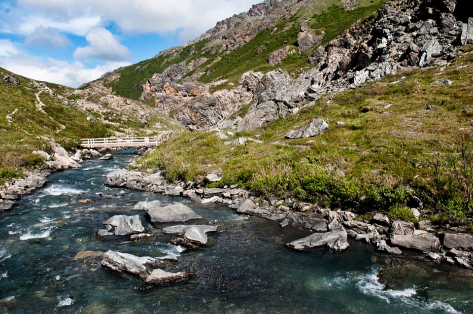
The easement reaches Windy Creek after about 3 miles. That’s the end of this route record. Continuing upstream or toward Foggy Pass is a separate backcountry trip: NPS describes thick brush, difficult river crossings during spring runoff or heavy rain, and a maze of drainages where good map-and-compass skills matter. Camping in Unit 16 requires a backcountry permit.
Wildlife
 716 sightingsGrizzly BearMost seen around 8 PMSighting map
 74 sightingsWolfMost seen around 8 PMSighting map
 49 sightingsCanada LynxMost seen around 9 PMSighting map
 797 sightingsMooseMost seen around 7 AMSighting map
 918 sightingsCaribouMost seen around 7 AMSighting map
 406 sightingsDall's SheepMost seen around 7 PMSighting map
Sighting maps show where each species has been reported across Denali. Wildlife moves, so no sighting is guaranteed.
Parkwolf’s Denali ranking

The audio tour guide for the drive, plus offline maps, trails, and wildlife heatmaps for when the signal drops.