Savage River Loop Trail in Denali National Park

#4 of 21 trails in Denali

Denali National Park, AK

Savage River Loop Trail

A short river-canyon loop with a footbridge crossing.

Photo: NPS Photo / Tim Rains / NPS

Length
2mi
Time
1.3hr
Elev. change
72ft
Difficulty
Moderate
  • Loop
  • No dogs
  • High point 2,605 ft

Hear the audio tour

Savage River and Canyon

Overview

About Savage River Loop Trail

Why go

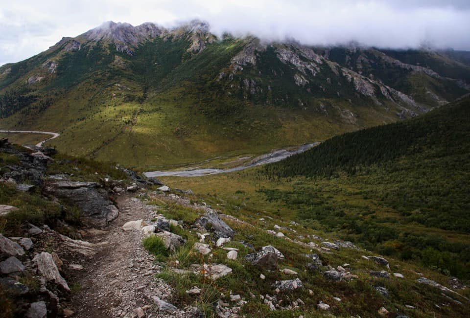
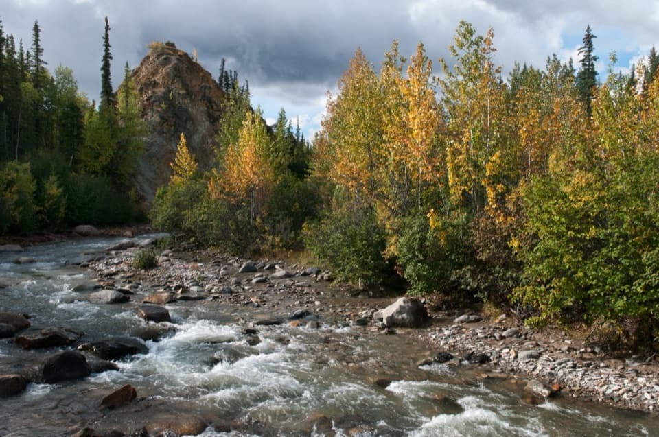
  • Close views of the braided river and canyon walls
  • A short loop with little overall climb
  • The footbridge makes the crossing a clear highlight

Heads up

  • Narrow, rocky, uneven footing on part of the loop
  • Very limited parking at the day-use area

Map & elevation

The route

Loading the Denali map
Full map
Elevation2,533–2,605 ft
TrailheadSavage River Day Use Area63.73982, -149.29162
Keep this map with you offline in the Parkwolf app

Plan your hike

Before you go

Parking

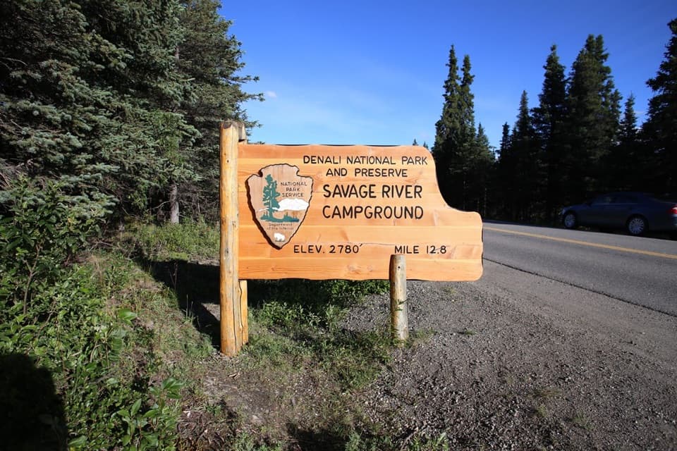
Start at Savage River Day Use Area on Denali Park Road at mile 15. Parking is very limited and no RV parking is available. Road access and seasonal bus service change; check current NPS road conditions and shuttle schedules before relying on either.

Safety

The western half narrows and becomes rocky and uneven; footing can be damp. The route enters designated Wilderness, where groups are limited to 12. Stay on the established trail because off-trail canyon slopes can be steep with uncertain footing. Pets are prohibited on this trail; qualified service animals are permitted.

1 active Denali alert

  • ClosureDenali Park Road vehicle access ends at Mile 3Vehicle access on the Denali Park Road ends at Mile 3 (Park Headquarters); snow beyond Mile 3 prevents vehicle travel, though pedestrians may continue.Official details
Denali alerts
A park ranger sits on a dash-mounted phone, talking, as Parkwolf’s Tour Guide plays “Army Cutworm Moths: A Grizzly Bear Buffet” on Grand Loop Road below Dunraven Pass in Yellowstone
Parkwolf Tour GuideThe highest, rockiest slopes around here are a summer buffet for grizzly bears.

Denali Tour Guide

Your drive to Savage River Loop Trail, narrated.

Parkwolf is a GPS audio tour guide for Denali National Park. As you drive, it chimes in with what’s ahead: hidden gems, upcoming stops, history, geology, and wildlife, right through your car’s speakers.

See the Denali audio tour

Recorded for this trailhead

Savage River and Canyon
0:00 / 0:31
“Up ahead is Savage River, where the road bridge gives you a quick look at the river channels and canyon walls. Stop even if you don't want a hike.”

Plays as you drive up to this trailhead in the Parkwolf Denali Tour Guide.

More stories near here in the app

  • A River That Builds Its Own Ice
  • Savage Cabin and the Road Builders
  • Mountain Vista Picnic Stop and Loop
  • Primrose Pass in Fall
  • 78 audio storiesacross Denali’s roads, triggered by GPS as you drive
  • Wildlife heatmapsfor Grizzly Bear, Wolf, Canada Lynx, and 13 more
  • Works offlinemaps, 21 trails, 53 places, and audio download before you lose signal
  • CarPlay readysimple controls built for the drive
★★★★★
“Fantastic app with many points of information… It’s great to just turn on while you’re driving and it gives you an audio tour of the national Park. We love it!!!!”
JMJamesApp Store review
Download Parkwolf on the App StoreGet Parkwolf on Google Play

4.7 from 8,600+ ratings

Trail guide

Hiking Savage River Loop Trail

The short river loopSavage River Loop is about two miles around, following both banks of the river through a narrow…

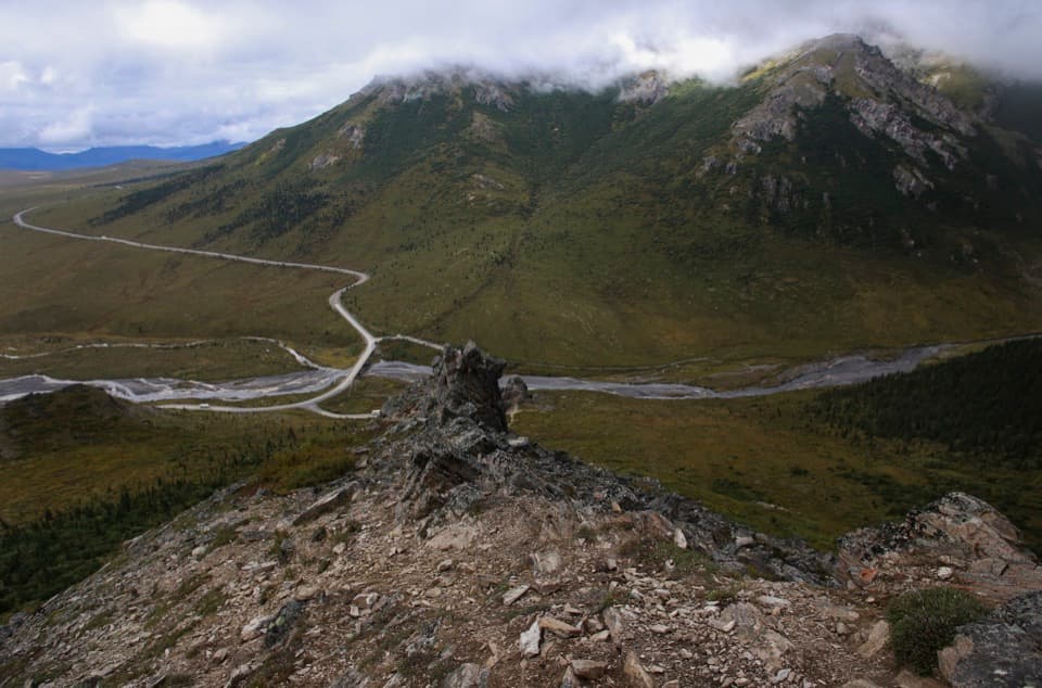
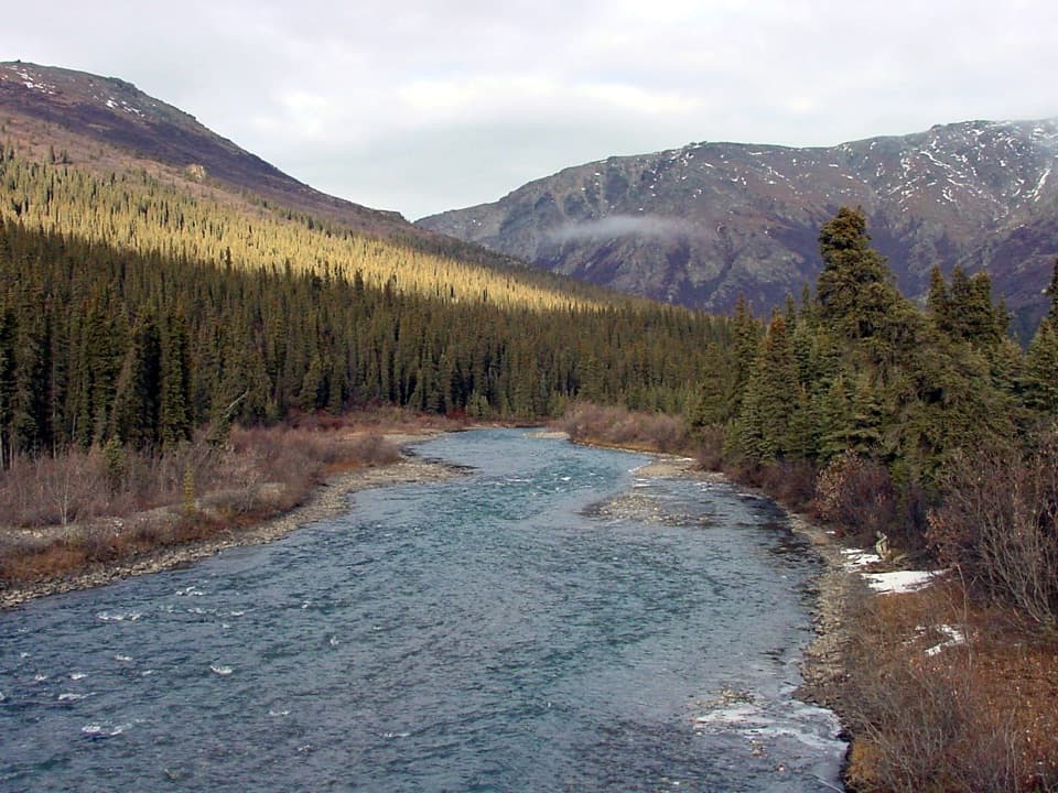
Savage River Loop is about two miles around, following both banks of the river through a narrow canyon and crossing a footbridge near the far end. Allow roughly 75 to 90 minutes with a few stops. The National Park Service lists 1.7 miles on its dedicated trail page and rounds the walk to two miles elsewhere. The mapped loop here measures about 1.99 miles, including the lower Park Road bridge and day-use access link. It’s a strong choice when you want a close look at Denali’s river country without a major climb.

Follow the water aroundFrom Savage River Day Use Area, the path stays close to the braided river as it runs between…

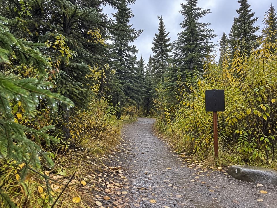
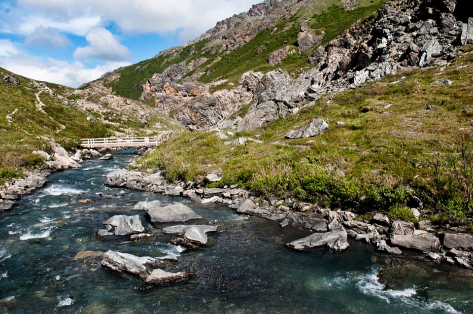
From Savage River Day Use Area, the path stays close to the braided river as it runs between Mount Margaret and Healy Ridge. Near a mile in, cross the footbridge and return on the opposite bank. At the lower end, the Park Road bridge and parking access join the two trail ends; that short road link is part of the complete circuit. The footbridge is the route’s clearest landmark and gives you a view up and down the channel. For a longer, steeper day, the separate Savage Alpine Trail is four miles one way between Savage River and Mountain Vista.

What the footing is likeThere’s little elevation change, but don’t expect a smooth path throughout.

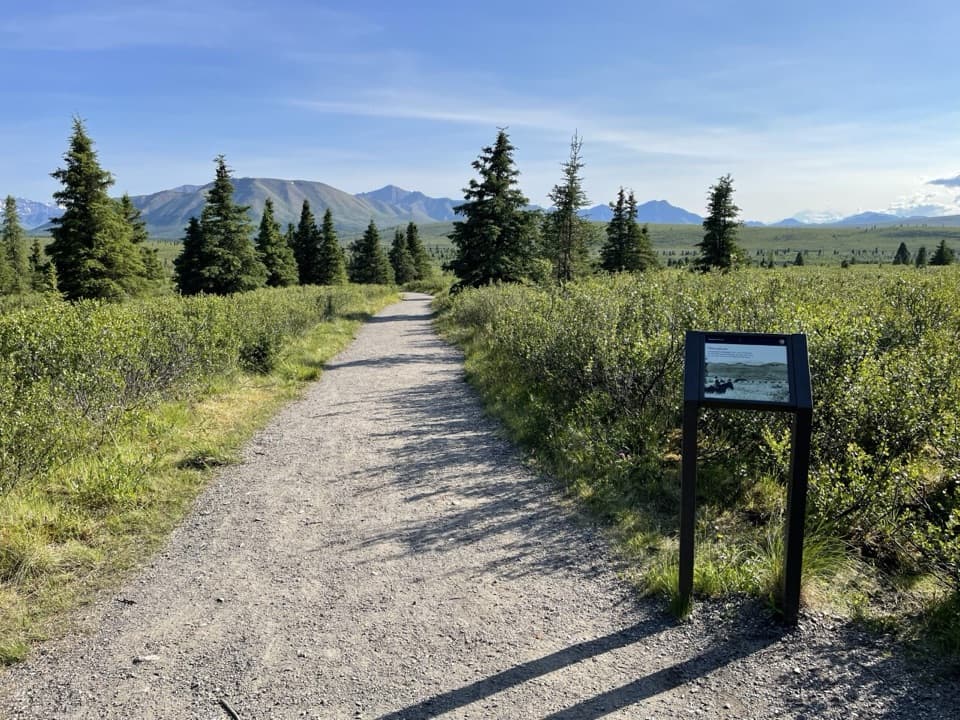
There’s little elevation change, but don’t expect a smooth path throughout. The western half begins about two feet wide and flat for roughly a quarter-mile, then narrows and gets rockier and more uneven. Hikers also report damp patches, roots and steps on the rougher side; the other bank is generally wider and flatter. Give yourself time to watch your footing, especially after rain. The loop is short, but its narrow uneven sections may feel like work if you need a broad, firm trail.

A river that changes shapeSavage River is braided, yet no glacier remains in its watershed to feed it.

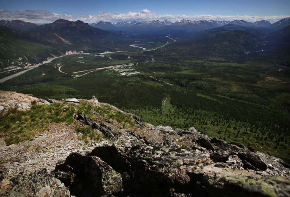
Savage River is braided, yet no glacier remains in its watershed to feed it. Sediment from brittle rock and the sparse vegetation near the headwaters helps the channels split and shift. Halfway along, the canyon makes a useful geology lesson: upstream, the broad shallow river sits in a U-shaped valley carved by glaciers; downstream, the channel narrows and moves faster through a V-shaped valley cut by the river. That older glacial shaping began more than two million years ago.

Look at the rock, not just the viewThe canyon walls expose mica-quartz schist, folded and faulted over a long geologic history.

The canyon walls expose mica-quartz schist, folded and faulted over a long geologic history. Flaky sericite and quartz veins make some surfaces sparkle when the light catches them. Above the parking area, the jagged outcrop called Savage Rock stands apart from nearby slopes; its origin is unsettled, with fault movement, a rock slide and more resistant rock all proposed as explanations. On the trail, frame the river with a strip of path or the footbridge so the canyon’s scale stays clear.

Wildlife and wilderness rulesMarmots, Arctic ground squirrels and pika have been reported along the rocky slopes, but…

Marmots, Arctic ground squirrels and pika have been reported along the rocky slopes, but sightings are never a sure thing. The route enters designated Wilderness just beyond the trailheads, where groups are limited to 12. Stay on the established path: the canyon slopes away from it can be steep, with uncertain footing. Pets aren’t permitted on this trail; qualified service animals are allowed.

Getting to the trailThe trailhead is at the Savage River day-use area on Denali Park Road, mile 15.

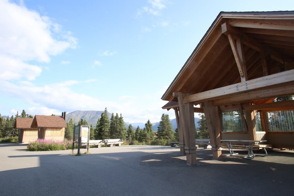
The trailhead is at the Savage River day-use area on Denali Park Road, mile 15. Parking is very limited and can fill; no food or water service is available in the area, so bring what you need. Road access and seasonal bus service change with snow and operating schedules. Check current park-road conditions and shuttle times before planning to reach mile 15. If you’d rather walk less, the separate 0.6-mile Mountain Vista loop is shorter and fairly flat, though it doesn’t follow the river canyon.

Wildlife

Wildlife in Denali

All Denali wildlife maps

Sighting maps show where each species has been reported across Denali. Wildlife moves, so no sighting is guaranteed.

Keep exploring

Near Savage River Loop Trail

See it all on the map

Trails that start nearby

Places near the trailhead

Parkwolf’s Denali ranking

Top-rated trails in Denali

All 21 trails
  1. 1Savage Alpine TrailChallenging · 4 mi
  2. 2Mount Healy Overlook TrailChallenging · 6.4 mi
  3. 3Horseshoe Lake TrailModerate · 2 mi
  4. 5Thorofare Ridge TrailChallenging · 1.6 mi
  5. 6Triple Lakes TrailChallenging · 9.5 mi
  6. 7McKinley River Bar TrailEasy · 4.8 mi

Take Parkwolf to Denali.

The audio tour guide for the drive, plus offline maps, trails, and wildlife heatmaps for when the signal drops.

4.7 from 8,600+ ratings

Download Parkwolf on the App StoreGet Parkwolf on Google Play