Horseshoe Lake Trail in Denali National Park

#2 of 17 trails in Denali

Denali National Park, AK

Horseshoe Lake Trail

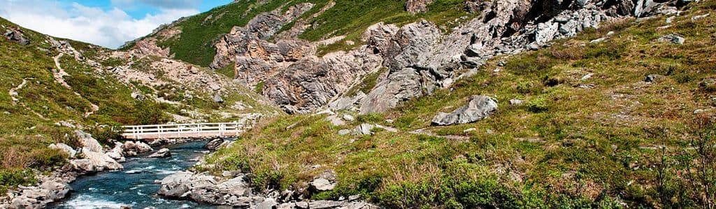
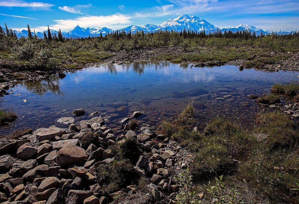
Moderate 2-mile loop to Horseshoe Lake with beaver habitat and Nenana River views

Photo: National Park Service
Length
2mi
Time
2hr
Elev. change
240ft
Difficulty
Easy
  • Loop
  • No dogs
  • High point 1,736 ft

Hear the audio tour

Horseshoe Lake Trail

Overview

About Horseshoe Lake Trail

Why go

  • Horseshoe Lake shoreline, beaver dams, and lodges
  • Nenana River views on the north side of the loop
  • Short two-mile round-trip outing near the park entrance

Heads up

  • Small trailhead lot fills quickly
  • Short steep hill and roughly 250 feet of elevation change
  • Mosquitoes can be intense in early summer
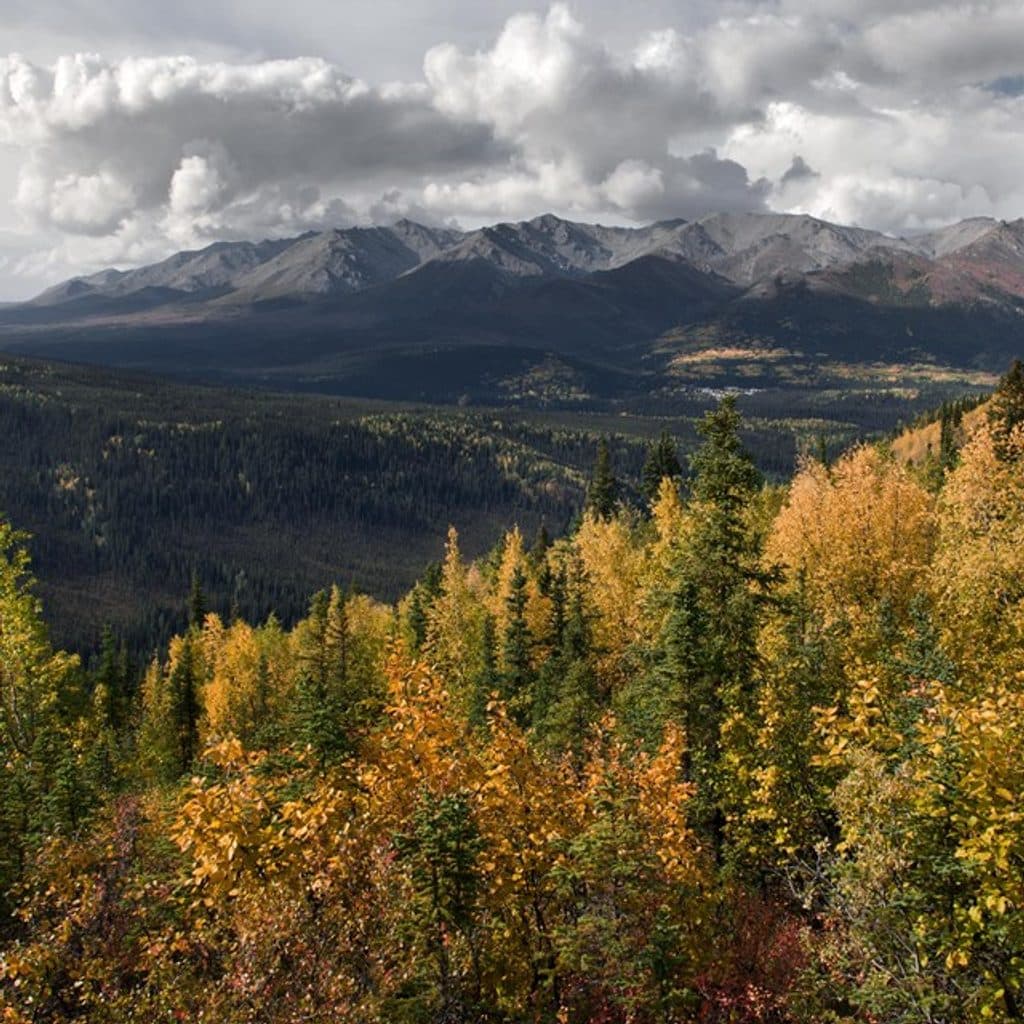
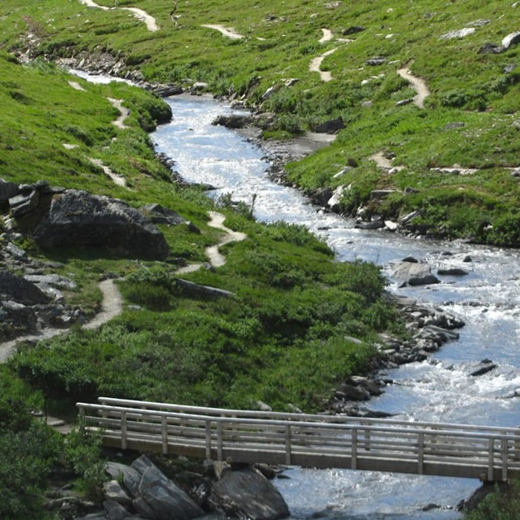
A short, scenic loop near the Denali entrance, Horseshoe Lake Trail combines boreal forest, shoreline views, beaver dams and lodges, and a glimpse of the Nenana River. It is a good way to see Denali's entrance-area landscape without committing to a long backcountry hike.
Parkwolf’s verdictWhy go

Map & elevation

The route

Loading the Denali map
Full map
Elevation1,496–1,736 ft
TrailheadHorseshoe Lake Trailhead63.73680, -148.91475
Keep this map with you offline in the Parkwolf app

Plan your hike

Before you go

Parking

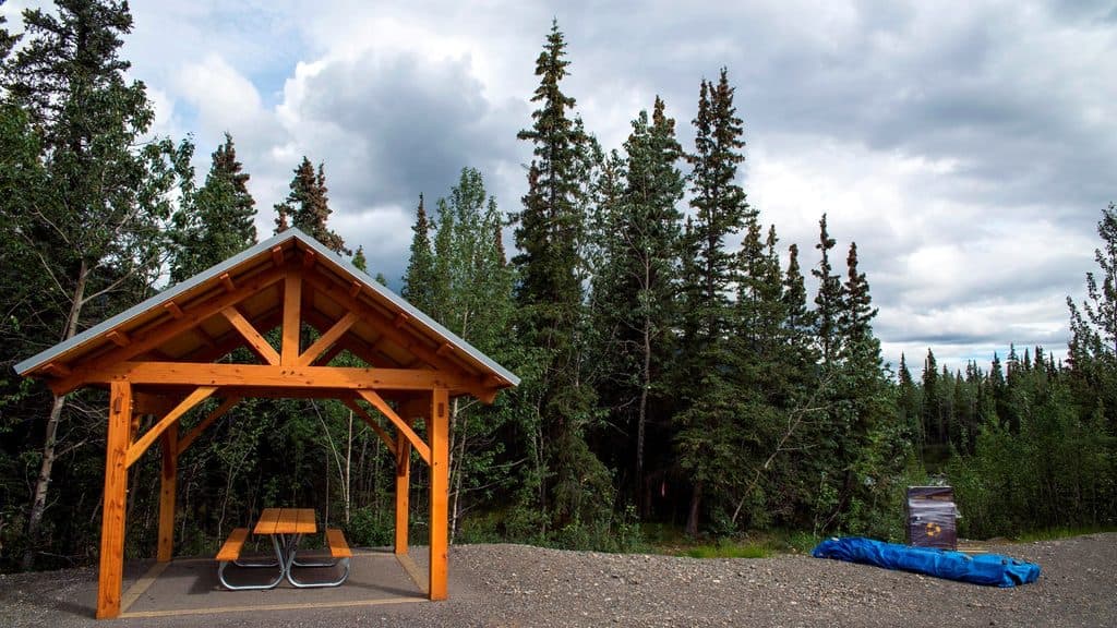
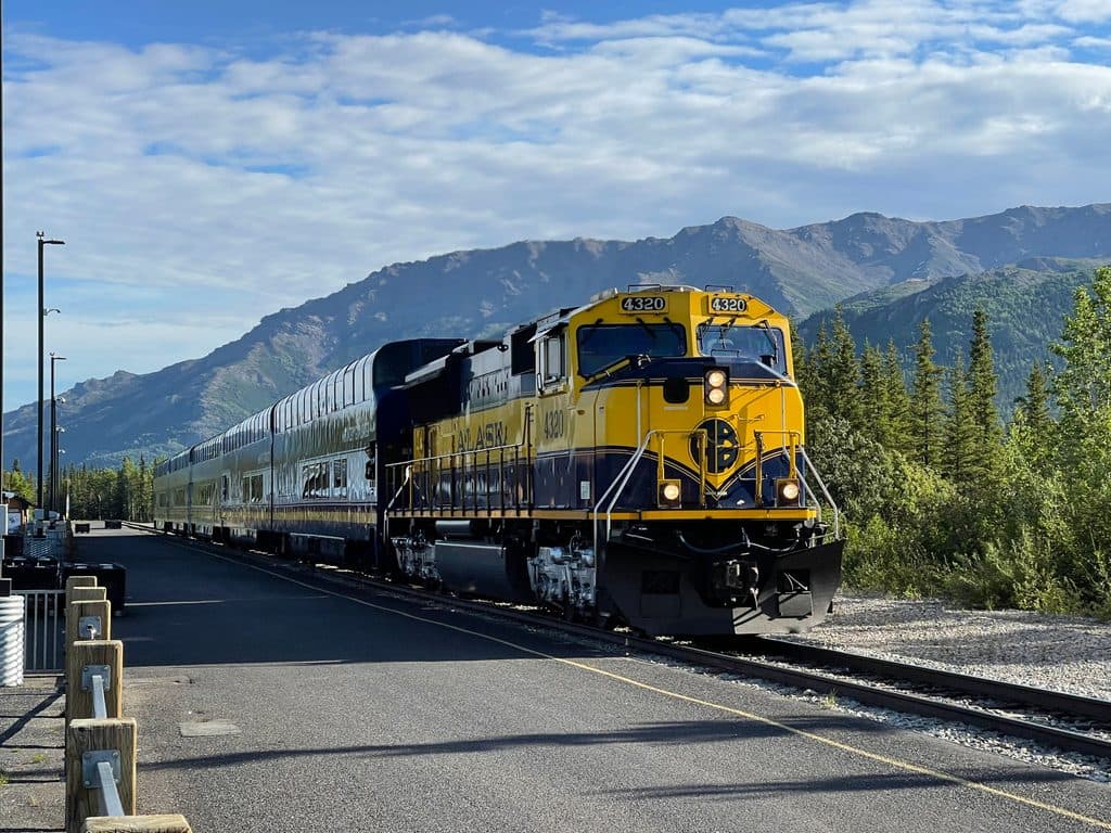
Small lot at Mile 1 of Denali Park Road where the Alaska Railroad crosses the road, beside the Horseshoe Lake Trailhead. If full, walk from the Denali Visitor Center via the Roadside Hiking Trail or Roadside Bike Trail; starting there makes the outing about 4 miles round-trip.

Safety

Expect a short steep hill and roughly 250 feet of elevation change; muddy natural surfaces after rain; heavy mosquitoes in early summer; and bear-country conditions. Carry bear spray, make noise, keep a safe distance from wildlife, and note that pets are not allowed on this trail.

1 active Denali alert

  • InfoDenali Park Road open to Mile 30; heavy equipmentThe Denali Park Road is open to Mile 30 (Teklanika River); stay alert for heavy equipment traveling on the road. Check current park conditions before traveling.Official details
Denali alerts
A park ranger sits on a dash-mounted phone, talking, as Parkwolf’s Tour Guide plays “Army Cutworm Moths: A Grizzly Bear Buffet” on Grand Loop Road below Dunraven Pass in Yellowstone
Parkwolf Tour GuideThe highest, rockiest slopes around here are a summer buffet for grizzly bears.

Denali Tour Guide

Your drive to Horseshoe Lake Trail, narrated.

Parkwolf is a GPS audio tour guide for Denali National Park. As you drive, it chimes in with what’s ahead: hidden gems, upcoming stops, history, geology, and wildlife, right through your car’s speakers.

See the Denali audio tour

Recorded for this trailhead

Horseshoe Lake Trail
Listen
“You're passing the trailhead for Horseshoe Lake. This is a really popular hike because it’s a quick sampler of the park: a forest walk, a quiet lake, and overlooks of the Nenana River.”

Plays as you drive up to this trailhead in the Parkwolf Denali Tour Guide.

More stories near here in the app

  • Murie Science and Learning Center
  • Horseshoe Lake Trail
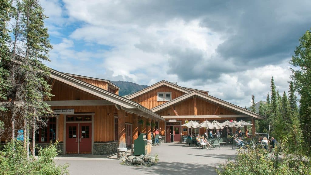
  • Denali Visitor Center Campus
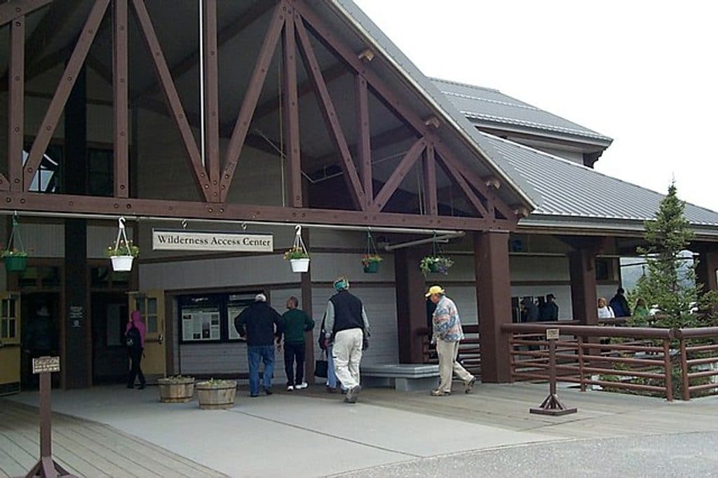
  • Denali Bus Depot & Transportation Hub
  • 113 audio storiesacross Denali’s roads, triggered by GPS as you drive
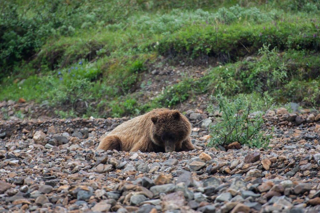
  • Wildlife heatmapsfor Grizzly Bear, Wolf, Canada Lynx, and 13 more
  • Works offlinemaps, 17 trails, 60 places, and audio download before you lose signal
  • CarPlay readysimple controls built for the drive
★★★★★
“Fantastic app with many points of information… It’s great to just turn on while you’re driving and it gives you an audio tour of the national Park. We love it!!!!”
JMJamesApp Store review
Download Parkwolf on the App StoreGet Parkwolf on Google Play

4.7 from 8,600+ ratings

Trail guide

Hiking Horseshoe Lake Trail

Route and distanceFrom the Horseshoe Lake Trailhead at Mile 1 of Denali Park Road, where the Alaska Railroad…

From the Horseshoe Lake Trailhead at Mile 1 of Denali Park Road, where the Alaska Railroad crosses the road, the standard outing is about 2.0 miles round-trip and takes about 2 hours. The route includes a short steep hill and roughly 250 feet of concentrated elevation change, then follows the complete loop around the lake and alongside the Nenana River before returning to the trailhead. The terrain and steep hill make this a moderate hike despite its short distance.

Access and parkingThe shortest and most direct access is the small lot beside the trailhead at the railroad…

The shortest and most direct access is the small lot beside the trailhead at the railroad crossing. If that lot is full, walk from the Denali Visitor Center using the Roadside Hiking Trail or Roadside Bike Trail; starting from the visitor center makes the outing about 4 miles round-trip. Stay on signed paths and use the access represented by your starting point.

Heads upThis is a popular trail, so an early start is quieter and improves the chance of finding…

This is a popular trail, so an early start is quieter and improves the chance of finding parking. Expect a steep section, muddy natural surfaces after rain, and heavy mosquitoes in early summer. You are in bear country: carry bear spray, make noise, and keep a safe distance from wildlife. Pets are not allowed on this trail.

Wildlife

Wildlife in Denali

All Denali wildlife maps

Sighting maps show where each species has been reported across Denali. Wildlife moves, so no sighting is guaranteed.

Keep exploring

Near Horseshoe Lake Trail

See it all on the map

Trails that start nearby

Places near the trailhead

Parkwolf’s Denali ranking

Top-rated trails in Denali

All 17 trails
  1. 1Eielson Alpine TrailChallenging · 1.6 mi
  2. 3Savage Alpine TrailChallenging · 4.2 mi
  3. 4Savage River Loop TrailEasy · 2 mi
  4. 5McKinley River Bar TrailEasy · 5 mi
  5. 6Mount Healy Overlook TrailChallenging · 5.4 mi
  6. 7Gorge Creek TrailModerate · 2 mi

Take Parkwolf to Denali.

The audio tour guide for the drive, plus offline maps, trails, and wildlife heatmaps for when the signal drops.

4.7 from 8,600+ ratings

Download Parkwolf on the App StoreGet Parkwolf on Google Play