Pros & cons
PROS
- Alpine payoff close to the park road—above treeline fast
- Free seasonal shuttle makes a one‑way traverse simple
- Easy add‑on: link with Savage River Loop for a longer circuit
CONS
- Fully exposed to wind and weather; miserable in poor conditions
- Steep either way—knee‑pounding descent if you pick the wrong direction
- Shuttle is seasonal; otherwise you’re stuck with a roadside walk
Park at either end: Mountain Vista/Savage Campground area or the Savage River lot (around mile 15). Use the free Savage River shuttle (when operating) to return to your vehicle, or walk the road between trailheads.
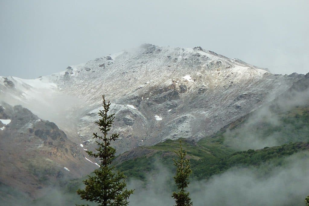
Exposed alpine terrain with rapidly changing weather and strong winds; steep climbs/descents on rocky tread. Bears are present—carry bear spray and make noise. The shuttle is seasonal (generally May–mid‑September); snow can linger early.
Why hike it
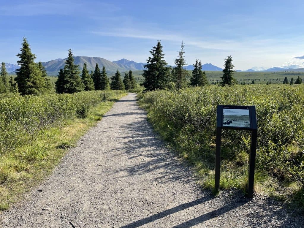
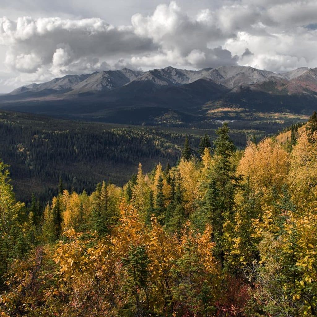
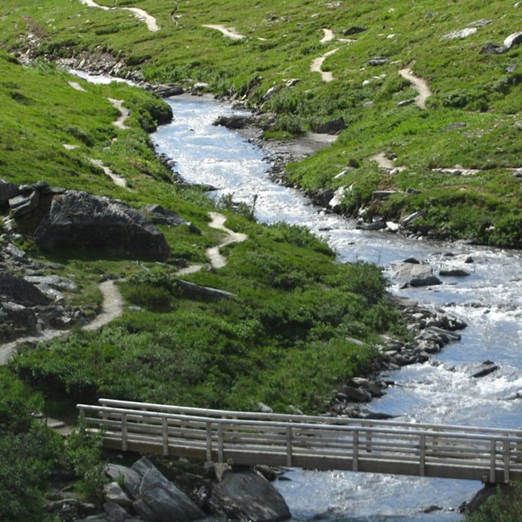
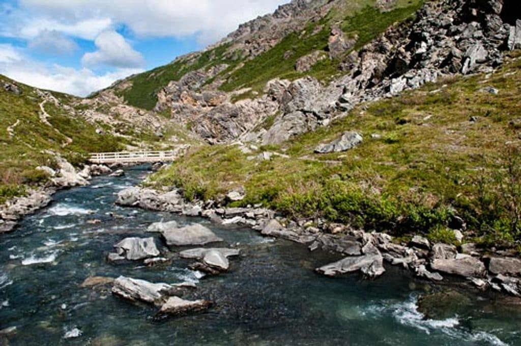
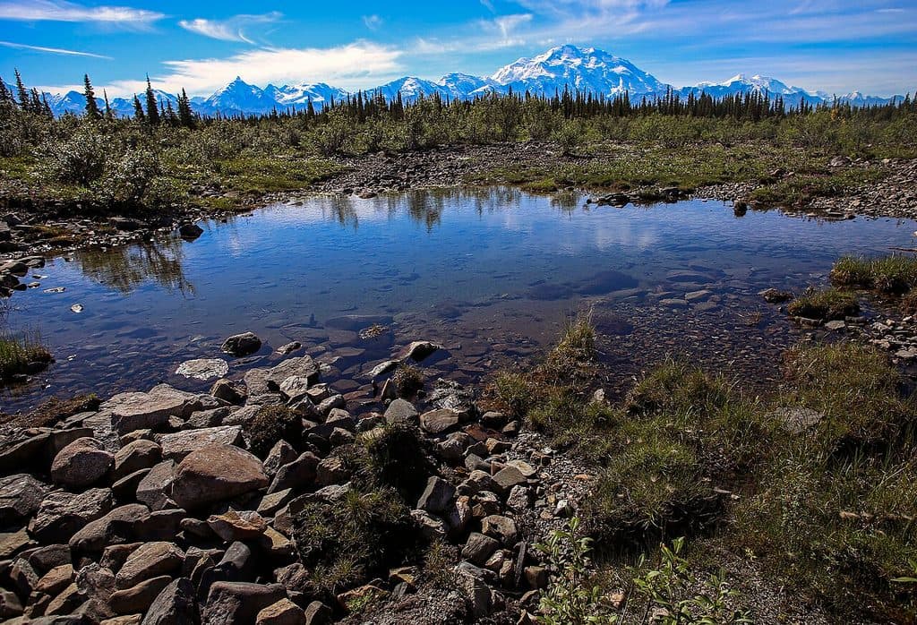
If you want Denali‑country alpine scenery without a deep venture into the park, this is the move. The Savage Alpine Trail is a 4.2‑mile point‑to‑point that rockets above treeline for tundra and ridgeline views in nearly every direction, including Denali on clear days. It’s strenuous—expect sustained climbing, rocky tread, and full exposure—but the scenery dividend is immediate and constant.
Route and logistics
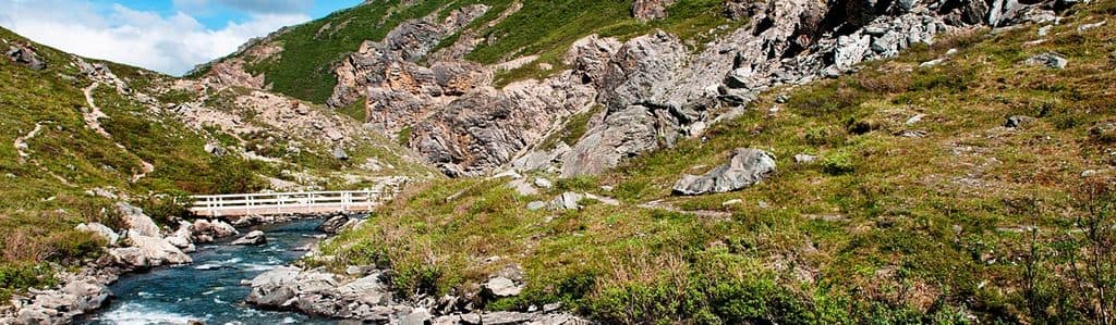
The trail links the Savage River area (around mile 15 of the park road) with the Mountain Vista/Savage Campground area. Hike it one‑way and use the free Savage River shuttle (typically May to mid‑September) to get back, or add about 2 miles of road walking to make your own loop. Direction matters: starting from Savage River means a steeper grind up; starting from Mountain Vista gives a more gradual climb but a steeper descent to finish. Either way, footing is rocky and the high country is exposed to wind.
Good to know
No permit is needed for this day hike, but dogs aren’t allowed. Weather turns fast up here—bring layers, wind/rain gear, and sturdy shoes. This is prime wildlife habitat (think Dall sheep, marmots, and bears), so practice bear safety. For a bigger day, you can tack on the nearby Savage River Loop to make roughly a 6.2‑mile circuit.
Elevation
4.2 mi · 2.8 hrWhere it starts
63.7158, -149.2547Wildlife on this trail
Near Savage Alpine Trail
All places →All trails →
0 mi awayMountain Vista TrailEasy roadside loop with interpretive signs and big mountain viewsEasy · 0.6 mi · 30 min
0 mi awayMountain Vista Rest AreaEasy stop for Denali views, picnic tables, and a short loopTrailhead · Restroom
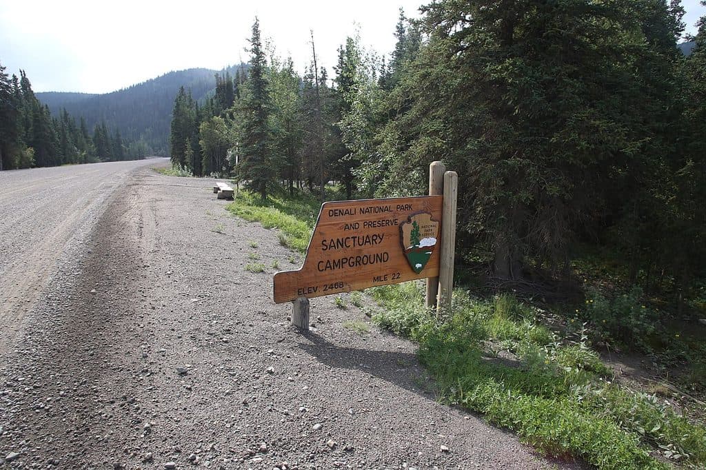
0.1 mi awaySavage River CampgroundQuiet, wooded base near Mile 15 with shuttle access and wildlifeCampground · Restroom
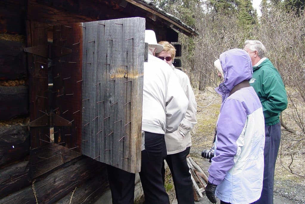
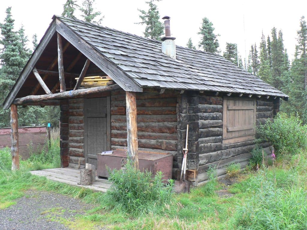
0.3 mi awaySavage CabinHistoric 1920s patrol cabin on a short interpretive strollExhibit
2 mi awaySavage River Loop TrailEasy river canyon loop with bridge, big tundra views, frequent wildlifeEasy · 2 mi · 1.2 hr
6.7 mi awaySanctuary River Cabin No. 31Historic 1926 patrol cabin by the river, viewed from the outside
8.9 mi awayRock Creek TrailForest walk linking Visitor Center and the sled dog kennelsModerate · 2.4 mi · 2 hr
10.3 mi awayMount Healy Overlook TrailSteep climb to a windy overlook with big entrance area panoramas.Challenging · 5.4 mi · 3.5 hr