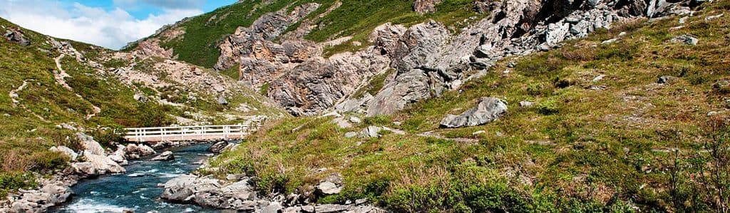
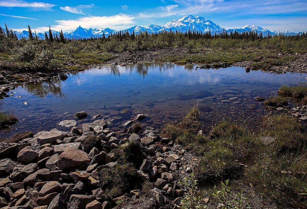
Parking
Park at Tsenesdghaas Na’ Trailhead on the east side of Highway 3, north of the Nenana River and Denali Park Village. The north end is near the Denali Visitor Center; use the McKinley Station Trail to reach the Triple Lakes route from there.

#8 of 17 trails in Denali
Denali National Park, AK
9.5-mile point-to-point traverse from Tsenesdghaas Na’ Trailhead to the Denali Visitor Center area
Overview
Triple Lakes is Denali’s longest established trail, a point-to-point traverse through boreal forest linking Tsenesdghaas Na’ Trailhead near Denali Park Village with the Denali Visitor Center area. The official distance is 9.5 miles one way and the hike typically takes 4 to 5 hours. The high point lies near the middle, so expect uphill and downhill travel in either direction.
 Parkwolf’s verdictWhy hike it
Map & elevation
Plan your hike

The highest, rockiest slopes around here are a summer buffet for grizzly bears.
Denali Tour Guide
Parkwolf is a GPS audio tour guide for Denali National Park. As you drive, it chimes in with what’s ahead: hidden gems, upcoming stops, history, geology, and wildlife, right through your car’s speakers.
See the Denali audio tourRecorded for this trailhead
Denali Park Village“You're now approaching the Denali Park Village, a major lodging and dining hub set right on the Nenana River. The Gold Rush Dining Room here is known for its river views and a very useful early-morning breakfast buffet.”
Plays as you drive up to this trailhead in the Parkwolf Denali Tour Guide.
More stories near here in the app
“Fantastic app with many points of information… It’s great to just turn on while you’re driving and it gives you an audio tour of the national Park. We love it!!!!”


Trail guide
From the southern trailhead, the route climbs and rolls through spruce forest toward three lakes before continuing north toward the Denali Visitor Center area. Near the north end, two large creek bridges are part of the route. The trail offers views toward Riley Creek and surrounding mountains, with wet or muddy sections possible after rain. It lies within designated Wilderness along much of the corridor.
Start at Tsenesdghaas Na’ Trailhead, a parking area on the east side of Highway 3 north of the Nenana River and Denali Park Village. The northern end is close to the Denali Visitor Center and is reached from the visitor center via the McKinley Station Trail, less than 1 mile. A full traverse is point-to-point: arrange a shuttle or car drop between the two ends, and note that there is no shuttle service between the southern trailhead and the Denali Visitor Center. Without transportation, consider hiking partway and returning the same way. Groups are limited to 12 people in the designated Wilderness section.
Wildlife
 715 sightingsGrizzly BearMost seen around 8 PMSighting map
 74 sightingsWolfMost seen around 8 PMSighting map
 49 sightingsCanada LynxMost seen around 9 PMSighting map
 795 sightingsMooseMost seen around 7 AMSighting map
 917 sightingsCaribouMost seen around 7 AMSighting map
 405 sightingsDall's SheepMost seen around 7 PMSighting map
Sighting maps show where each species has been reported across Denali. Wildlife moves, so no sighting is guaranteed.
Keep exploring
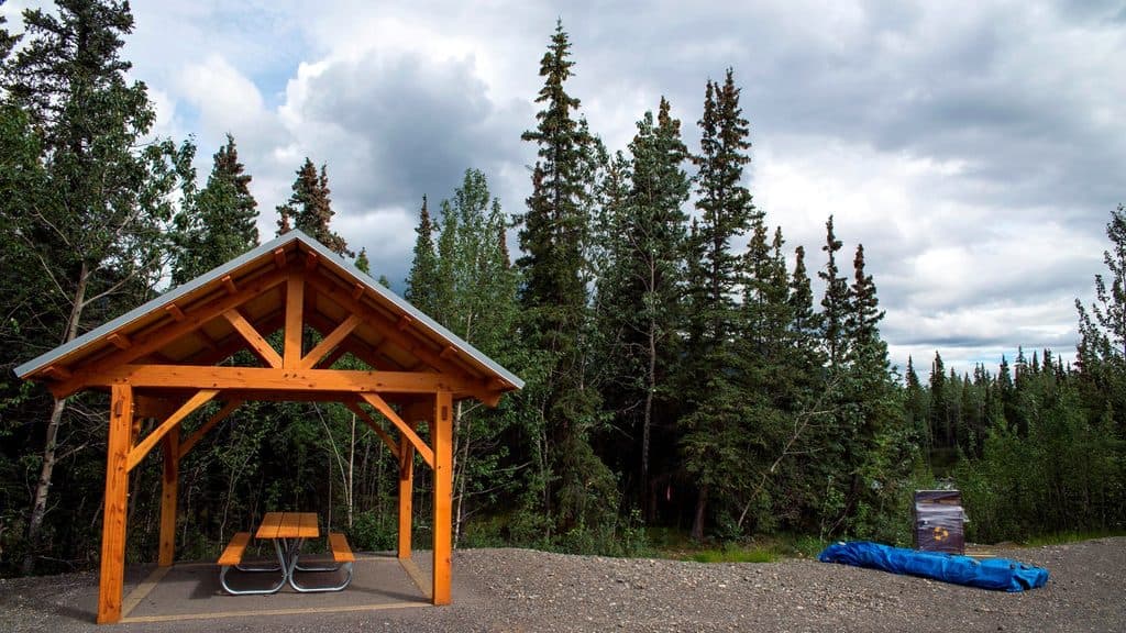 EasyRiley Creek Trail1.6 mi · 48 min · 5.2 mi awayEasy creek-side out-and-back near Denali's entrance
 EasyMorino Trail0.2 mi · 15 min · 5.5 mi awayShort spruce-forest connector between sections of the McKinley Station TrailEasySpruce Forest Trail0.3 mi · 15 min · 5.5 mi awayFlat 0.3-mile loop through quiet boreal spruce and birch near the Denali Visitor Center.
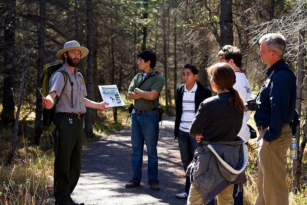 EasyMcKinley Station Trail1.6 mi · 1 hr · 5.6 mi awayHistoric creekside walk from the Denali Visitor Center to Riley Creek
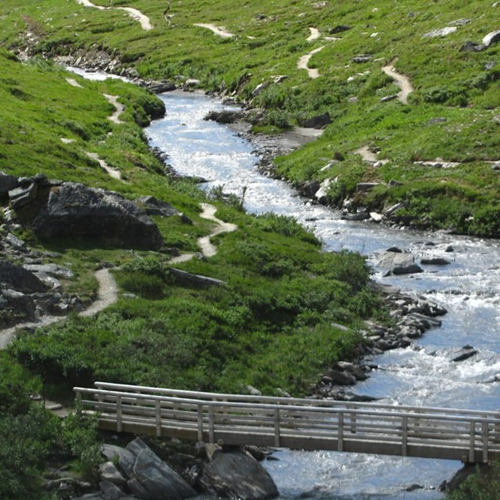 ModerateRock Creek Trail2.4 mi · 2 hr · 5.6 mi awayPoint-to-point forest walk from the Denali Visitor Center to the sled dog kennels
 EasyRoadside Trail1.8 mi · 2 hr · 5.6 mi awayOne-way forest route from the Denali Visitor Center to Park Headquarters and the Sled Dog Kennels
 EasyTaiga Trail1 mi · 30 min · 5.7 mi awayGentle one-way forest connector from the Denali Visitor Center to the Horseshoe Lake Trail
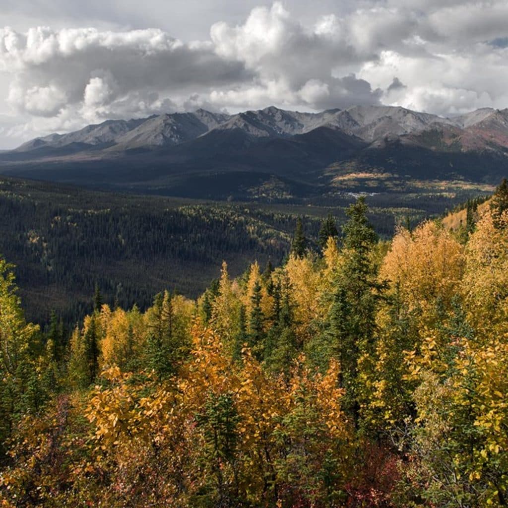 ChallengingMount Healy Overlook Trail5.4 mi · 4 hr · 5.9 mi awayA steep 2.7-mile climb to a windy overlook above Denali’s entrance area.
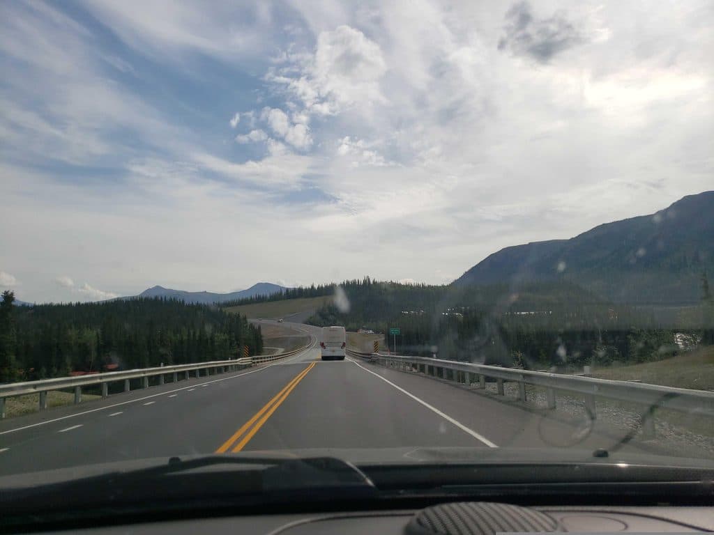 Trailhead · At the trailheadTriple Lakes OverlookRoadside access to Triple Lakes with quick Lake 1 payoff
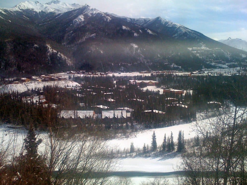 Lodging · 0.2 mi awayDenali Park VillageRiverside lodge with trails, dining, and the Cabin Nite dinner theater
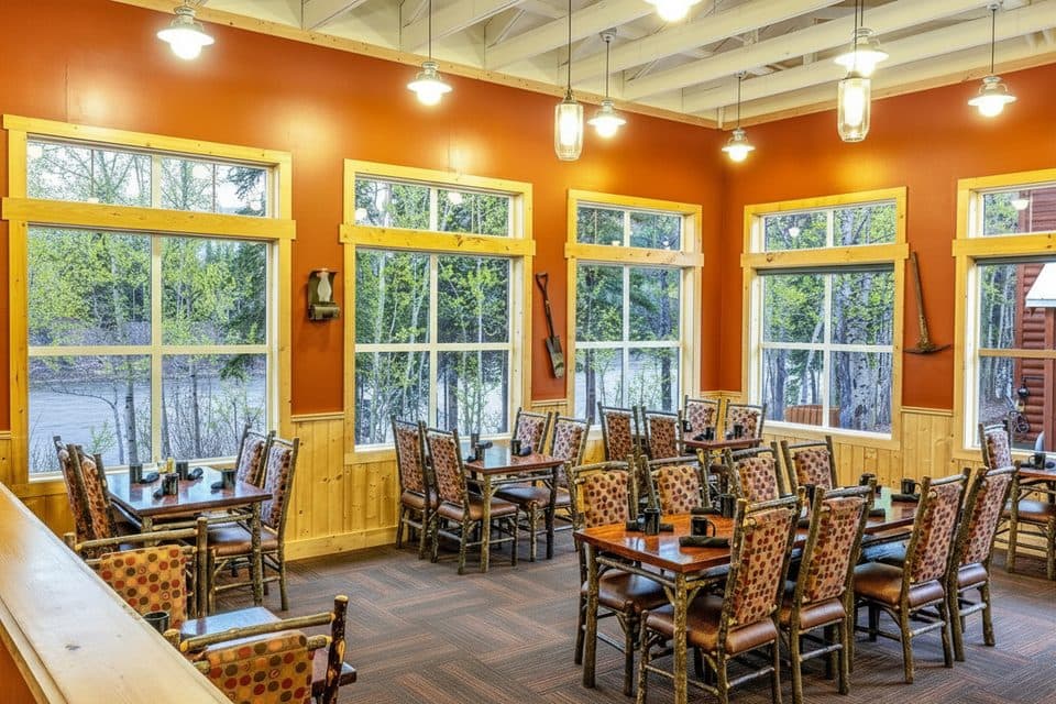 Restaurant · 0.3 mi awayGold Rush Dining RoomRiverside lodge restaurant with early buffet and Alaskan specialties
 Sight · 2 mi awayHusky HomesteadPuppies and mushing stories at Jeff King’s working sled dog kennel
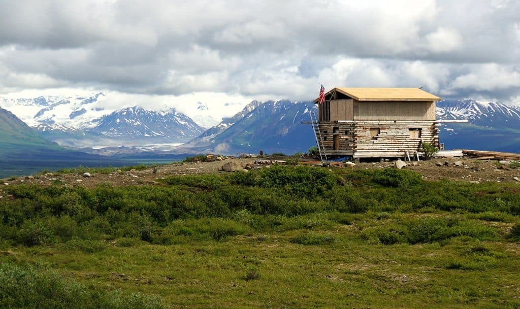 Lodging · 2.2 mi awayDenali CabinsWooded cedar-cabin base with hot tubs, sauna, and a park shuttle
 Picnic area · 5.2 mi awayRiley Creek Picnic AreaShady, creekside picnic spot near the entrance hub
 Campground · 5.4 mi awayRiley Creek CampgroundThe park’s most convenient base camp with showers, laundry, and a store
 Store · 5.6 mi awayRiley Creek MercantileCampground check-in hub with a handy store and showers nearby
Parkwolf’s Denali ranking
The audio tour guide for the drive, plus offline maps, trails, and wildlife heatmaps for when the signal drops.