
Place · 2.7 mi away
Moderate
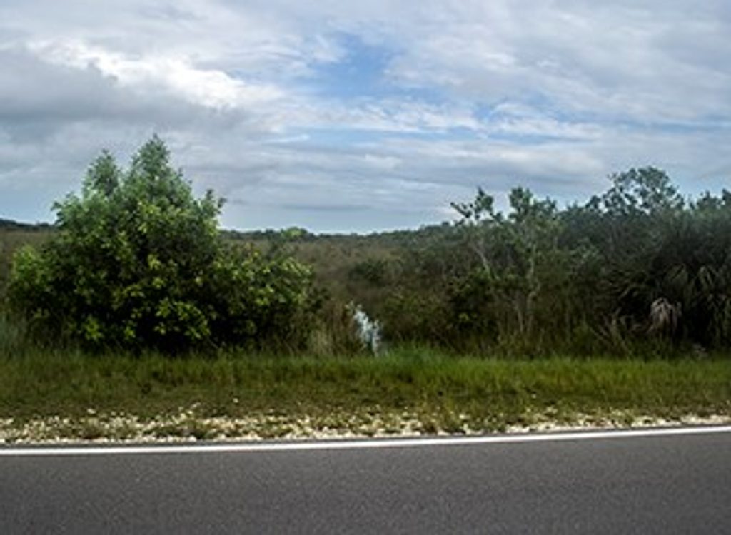
This is the Everglades at its most honest: a long, straight, raised roadbed pushed across open sawgrass prairie with the Homestead Canal paralleling the route. Expect big sky, wide horizons, and frequent wildlife encounters in a place where you’ll likely see more alligators than people.
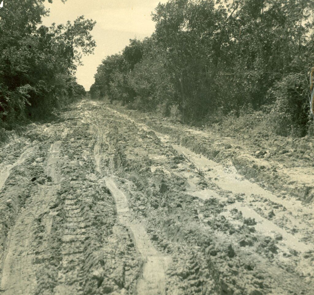
The corridor follows the abandoned Old Ingraham Highway, built atop dredged limestone. You’re walking a slice of Everglades history and hydrology—the borrow ditches and canal hold water most of the year and draw wading birds, turtles, and alligators, especially in the dry season. The tread is flat but rough in spots, with sections of overgrowth, mud, and occasional standing water. Shade is minimal to nonexistent, and solitude is the norm.
Plan on a big day if you attempt the full out-and-back. The commonly followed route is about 22.8 miles total. The historic corridor itself runs roughly 10–11 miles one way, and many hikers simply turn around at a chosen point. Flat terrain keeps the grade easy, but the exposure, distance, and occasional bushwhack make it more committing than the topo suggests.
Dry season (roughly December through April) is the sweet spot: lower water, concentrated wildlife, fewer mosquitoes, and firmer footing. Start early for cooler temps and better light on the prairie. Wet season brings heat, bugs, and higher water that can make the route tedious or impassable in places.
If you like history, solitude, and raw Everglades scenery, this long, exposed corridor delivers. If you prefer short, shaded loops with interpretive signs and steady company, look elsewhere. For an easier taste of the ecosystem and dependable wildlife viewing, consider the trails near Royal Palm Hammock as alternatives.
Signed trailhead with small parking and an information kiosk off Main Park Road near the Royal Palm/Hidden Lake area; final access spur is rough and potholed. No services.
Remote and exposed with limited cell service; expect mud, standing water, and overgrowth. Alligators and snakes may occupy the corridor—give wide berth. Carry ample water and consider hiking with a partner, especially outside the dry season.
Place · 2.7 mi away
Place · 4.6 mi away
Place · 5 mi away

Place · 5 mi away
Easy · 5.1 mi away
Easy · 7.6 mi away
Easy · 7.9 mi away
Easy · 8 mi away

Parkwolf Tour Guide
