Parking
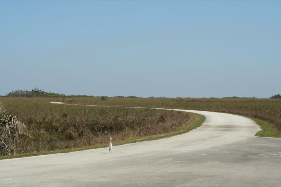
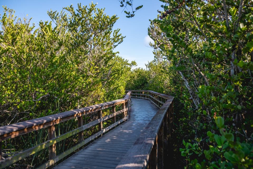
Use the Pinelands Trail parking access on Main Park Road, about two miles west of the Long Pine Key turnoff; it is beside the trailhead shelter.
#9 of 19 trails in Everglades
Everglades National Park, FL
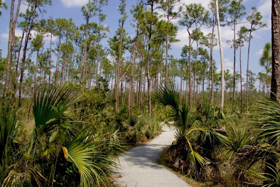
A short paved loop through rare South Florida pine rockland.
Overview
Map & elevation
Plan your hike

The highest, rockiest slopes around here are a summer buffet for grizzly bears.
Everglades Tour Guide
Parkwolf is a GPS audio tour guide for Everglades National Park. As you drive, it chimes in with what’s ahead: hidden gems, upcoming stops, history, geology, and wildlife, right through your car’s speakers.
See the Everglades audio tourRecorded for this trailhead
Pinelands Trail: Pines and Tree Snails“You're approaching Pinelands Trail, a short walk through open pines and saw palmettos, with a pocket of tropical trees.”
Plays as you drive up to this trailhead in the Parkwolf Everglades Tour Guide.
More stories near here in the app
“Fantastic app with many points of information… It’s great to just turn on while you’re driving and it gives you an audio tour of the national Park. We love it!!!!”


Trail guide
Pinelands Trail is a 0.4-mile paved loop on Long Pine Key, through open pine rockland and a small patch of tropical trees. It’s a short, easy way to see a habitat you won’t get from the main road. Allow about 15 to 20 minutes, including a look at the trailhead panels; this is a brief nature walk, not a long hike.
Start by the rain shelter and turn right to walk the loop counterclockwise. Slender pines and saw palmettos line the first stretch. Farther on, the path slips into a denser pocket of tropical trees around holes in the limestone. The return opens across the low understory. The payoff is how quickly the vegetation changes, not a big overlook.
Pine rockland is a rare habitat limited to South Florida, the Keys and parts of the Bahamas. Here, shallow limestone has dissolved into crevices, pits and small caves. Some holes hold water and hide behind plants just beyond the pavement, so stay on the path. The shelter’s interpretation explains the role of fire in keeping this forest open and Hurricane Andrew’s effect on it.
Dade County pines are tall and slender; early settlers valued their resistance to insects and rot. After heavy rain, look on smooth trunks of gumbo limbo or Jamaican dogwood for colorful Liguus tree snails. They’re special when you find them, but not a sure thing. Poisonwood grows along the route, so don’t touch unfamiliar trees.
Park at the Pinelands Trail access on Main Park Road, about two miles west of the Long Pine Key turnoff. There are benches, a rain shelter and interpretive panels at the trailhead. The National Park Service describes the route as wheelchair accessible; some pavement can be narrow or uneven where roots have lifted it. There’s no restroom at the trailhead. Pets aren’t allowed on park trails.
Wildlife
 15 sightingsMountain LionMost seen around 7 AMSighting map
 1,429 sightingsWest Indian ManateeMost seen around 9 AMSighting map
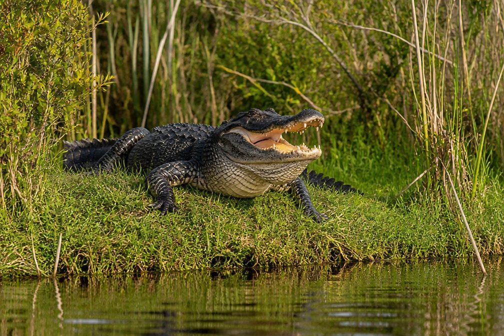 4,397 sightingsAlligatorMost seen around 5 PMSighting map
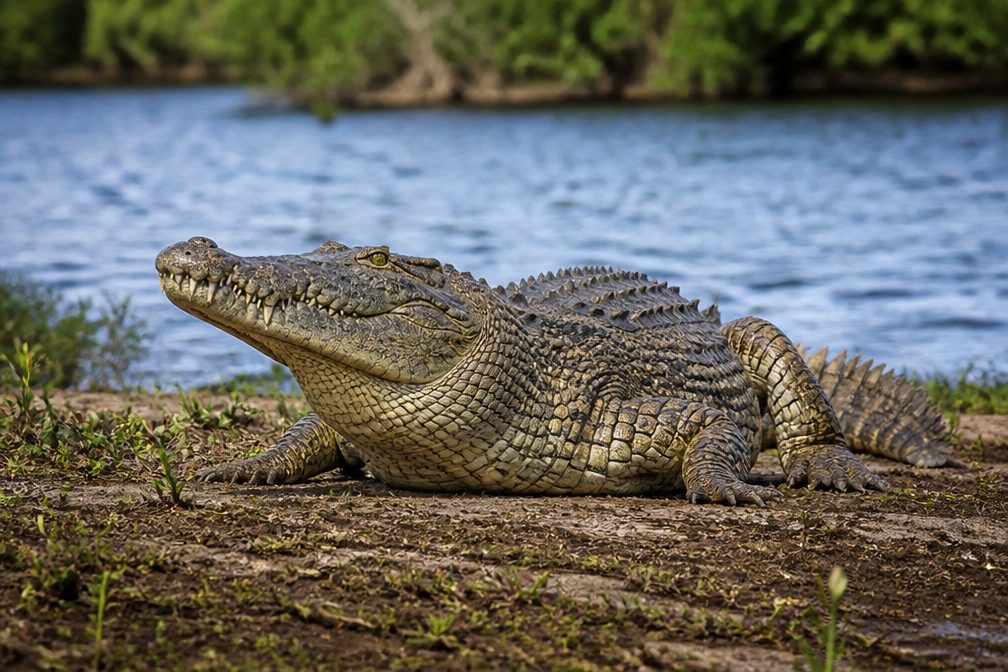 1,672 sightingsCrocodileMost seen around 6 PMSighting map
 42 sightingsBlack BearMost seen around 6 PMSighting map
 15 sightingsBobcatMost seen around 7 AMSighting map
Sighting maps show where each species has been reported across Everglades. Wildlife moves, so no sighting is guaranteed.
Keep exploring
 EasyThree-in-One Trail0.6 mi · 30 min · 2 mi awayThree habitats and a lakeshore return in one easy loop
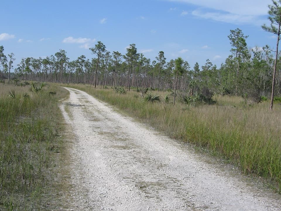 ModerateLong Pine Key Nature Trail7 mi · 3 hr · 2.1 mi awayA rocky seven-mile route through pine rockland to Pine Glades Lake.
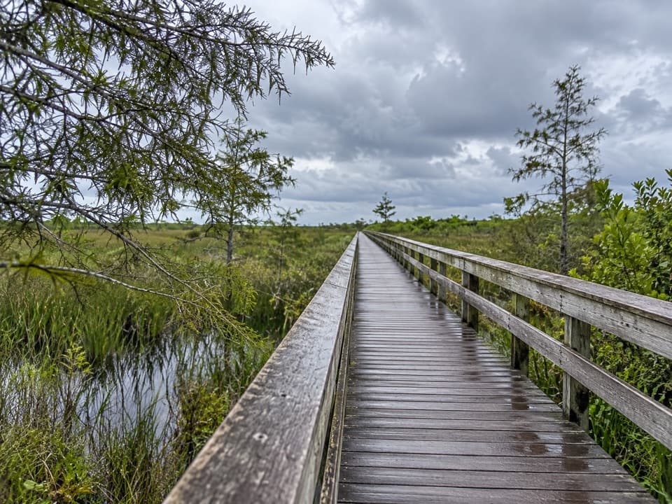 EasyAnhinga Trail0.8 mi · 45 min · 5.2 mi awayA short boardwalk where alligators and waterbirds steal the show.
 EasyGumbo Limbo Trail0.4 mi · 24 min · 5.2 mi awayA shady paved loop over limestone solution holes.
 EasyPa-hay-okee Overlook Trail0.2 mi · 15 min · 6.6 mi awayA very short loop for a wide-open River of Grass view.
 EasyMahogany Hammock Trail0.5 mi · 20 min · 11.8 mi awayAn easy boardwalk threads into a dense tropical hardwood hammock.
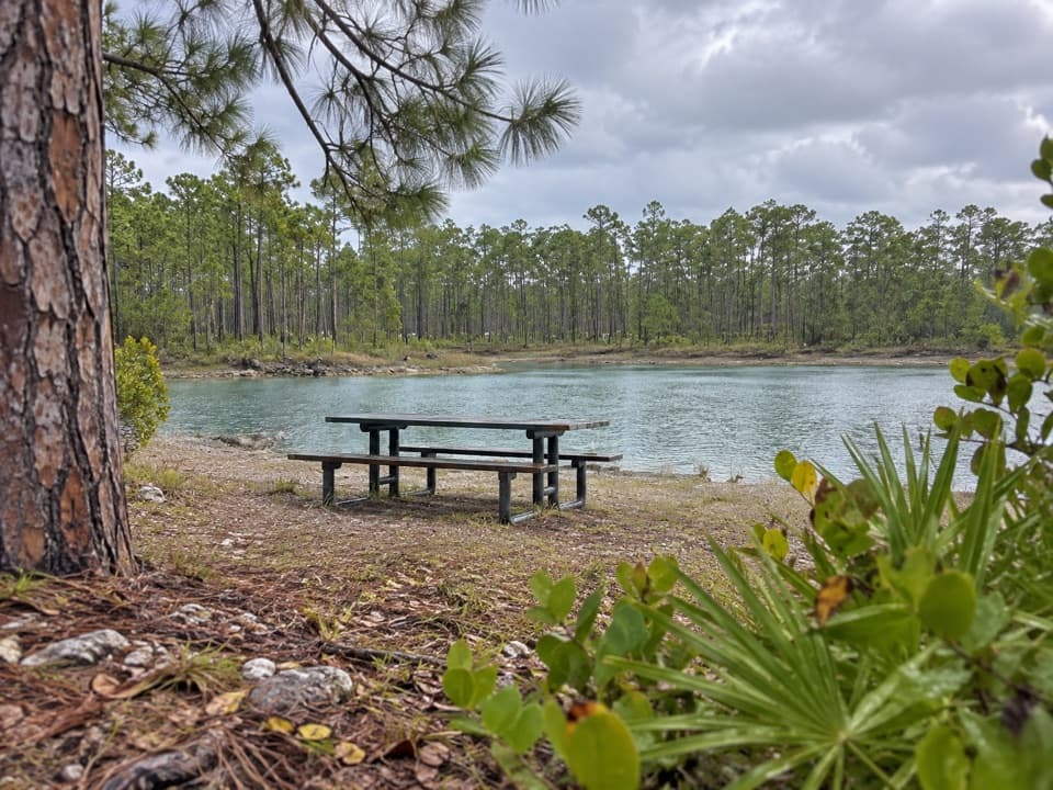 Picnic area · 2.1 mi awayLong Pine Key Picnic AreaA pine rockland picnic stop with lakeside tables and a short trail.
 Campground · 2.2 mi awayLong Pine Key CampgroundA seasonal base among tall pines with hot showers.
 Sight · 3.7 mi awayHistoric Nike Missile Site HM-69A real Nike missile sits inside its own launch barn.
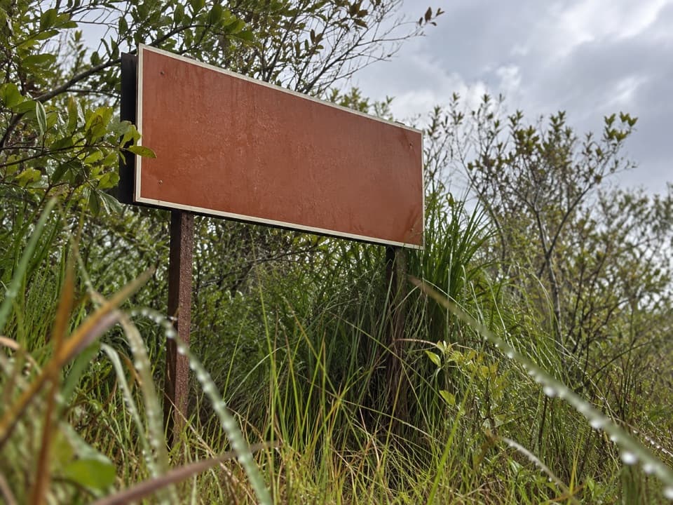 Sight · 4.5 mi awayRock Reef PassA three-foot pass puts a flat landscape into focus.
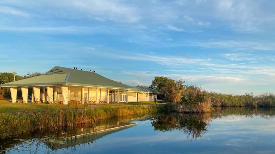 Visitor center · 5.2 mi awayRoyal Palm Information Station and BookstoreAn easy wetland boardwalk and a shady hammock walk start here.
 Entrance station · 5.9 mi awayHomestead Entrance StationPasses, maps, and permits at the start of the drive.
 Visitor center · 6.3 mi awayErnest F. Coe Visitor CenterGet a ranger’s help before you commit to the park’s long drives.
 Sight · 6.5 mi awayEverglades National Park Main Entrance SignA stone welcome sign marks mile zero of the drive south.
Parkwolf’s Everglades ranking

The audio tour guide for the drive, plus offline maps, trails, and wildlife heatmaps for when the signal drops.