Overview
About Frasers Beach
Why stop
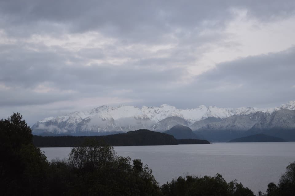
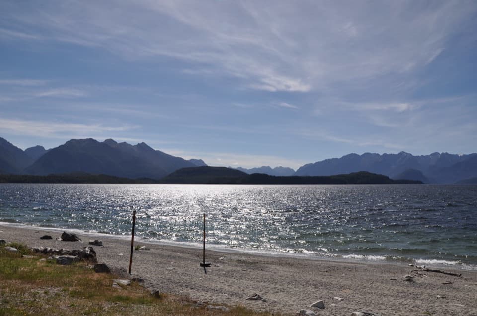
- Fiordland mountain views, especially at sunset
- A short beach walk with picnic and swimming options
Heads up
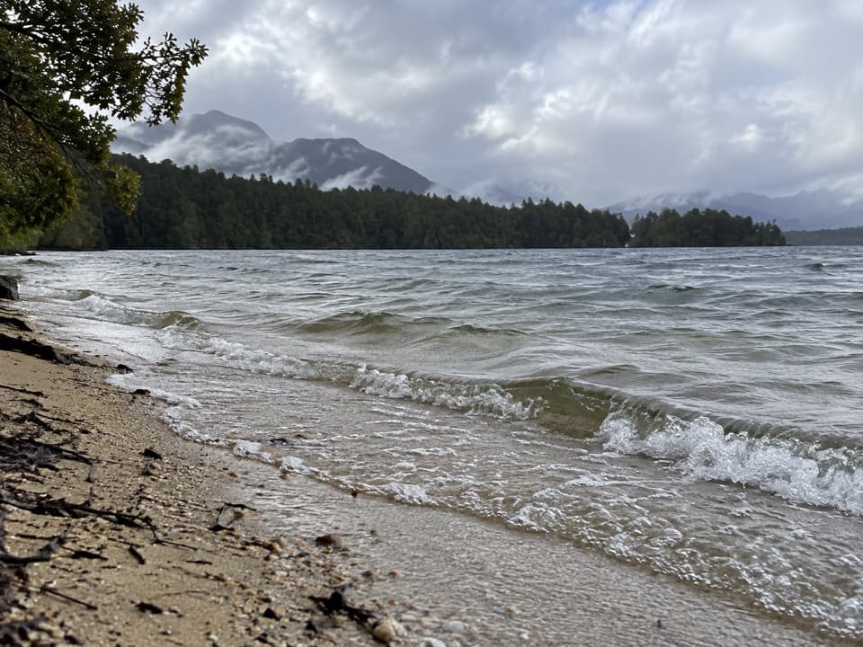
- The lake can turn rough and choppy, particularly in afternoons
Map
Where it is

The highest, rockiest slopes around here are a summer buffet for grizzly bears.
Fiordland Tour Guide
Your drive to Frasers Beach, narrated.
Parkwolf is a GPS audio tour guide for Fiordland National Park. As you drive, it chimes in with what’s ahead: hidden gems, upcoming stops, history, geology, and wildlife, right through your car’s speakers.
See the Fiordland audio tourRecorded for this place
Frasers Beach on Lake Manapouri“Up ahead is Frasers Beach, a gravel shore looking across Lake Manapouri's islands toward the mountains.”
Plays as you drive up to Frasers Beach in the Parkwolf Fiordland Tour Guide.
More stories near here in the app
- Pearl Harbour and Doubtful Sound Departure
- Waiau River Crossing and Circle Track
- The Fuchsia That Changes Colour
- The Kākāpō’s Bass Notes
- 112 audio storiesacross Fiordland’s roads, triggered by GPS as you drive
- Wildlife heatmapsfor Kea, Fiordland Penguin, Blue Duck, and 13 more
- Works offlinemaps, 77 trails, 102 places, and audio download before you lose signal
- CarPlay readysimple controls built for the drive
“Fantastic app with many points of information… It’s great to just turn on while you’re driving and it gives you an audio tour of the national Park. We love it!!!!”


Guide
More about Frasers Beach
A short lakeside stopFrasers Beach is a gravel shoreline on Lake Manapouri, with a short walking track beside the…
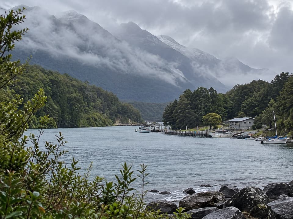
Frasers Beach is a gravel shoreline on Lake Manapouri, with a short walking track beside the water. The track takes about 30 minutes and is rated easy to intermediate; you can walk on the beach itself or use the parallel track. It makes an easy picnic or swimming stop, or a quieter alternative to spending the whole visit on the road.
Picnics, swimming, and lake conditionsPicnic tables and toilets are available, and swimming is one of the beach’s listed activities.
Picnic tables and toilets are available, and swimming is one of the beach’s listed activities. Lake Manapouri can turn rough and choppy quickly, particularly in the afternoon, so check the water before swimming and be ready to enjoy the shore instead. Bring what you want to eat for a picnic. Dogs are not allowed on the DOC track.
The view at the water’s edgeThe open shore looks across the lake toward Fiordland’s mountains and islands; sunset is a…
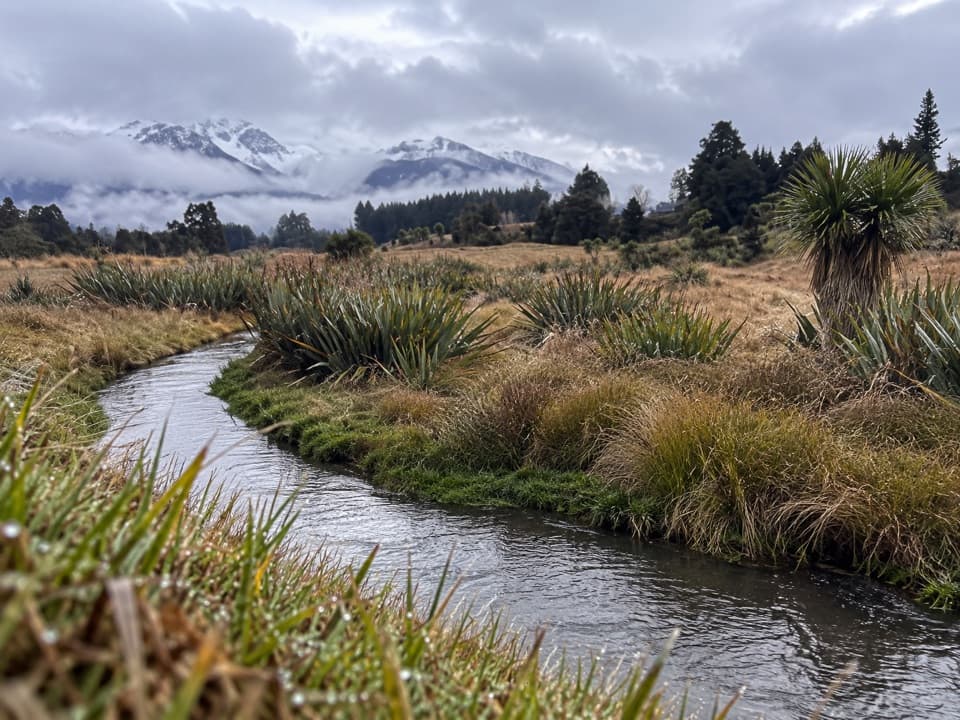
The open shore looks across the lake toward Fiordland’s mountains and islands; sunset is a particularly good time for the view. For a photograph, keep a strip of the pebbly beach in the foreground so the frame reads as a shoreline rather than only open water. Reflections can appear when the lake is calm, but the water is not reliably still.
A lake shaped by iceAbout 20,000 years ago, glaciers from central Fiordland crossed the area and left ridges that…
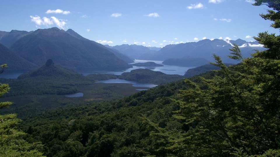
About 20,000 years ago, glaciers from central Fiordland crossed the area and left ridges that held the lakes after the ice melted. Many of Manapouri’s islands show the same process on a smaller scale: ice smoothed one side and plucked rock from the other. The island-dotted lake is part of the landscape you see from this shore.
Māori history around the lakeMāori used many of Manapouri’s beaches, inlets, and islands, and the eastern end was an…
Māori used many of Manapouri’s beaches, inlets, and islands, and the eastern end was an important food-gathering area. Eel-trapping channels remain visible at Circle Cove and on Holmwood Island; those features are elsewhere on the lake, not at Frasers Beach itself.
The campaign to protect ManapouriA proposal in the 1960s to raise the lake for power generation prompted a major conservation…
A proposal in the 1960s to raise the lake for power generation prompted a major conservation campaign. More than 265,000 people signed a petition, and the lake later received statutory protection. Its levels are now managed to mimic natural fluctuations, helping preserve the character of the lake seen from the beach.
Reaching the beachManapouri is about 21 km, or 20 minutes by road, from Te Anau.
Manapouri is about 21 km, or 20 minutes by road, from Te Anau. The Frasers Beach Road entrance is just north of Manapouri; the other end of the walk is at Pearl Harbour, about 500 m beyond the Waiau Street shops, with its car park accessed from View Street. The 30-minute track estimate is not specified as one-way or return, so allow time to explore the shore as well.
Wildlife
Wildlife in Fiordland
 1,233 sightingsKeaMost seen around 10 AMSighting map
 214 sightingsFiordland PenguinMost seen around 7 PMSighting map
 233 sightingsBlue DuckMost seen around 5 PMSighting map
 32 sightingsBottlenose DolphinMost seen around 5 PMSighting map
 252 sightingsNew Zealand Fur SealMost seen around 6 PMSighting map
 69 sightingsKākāMost seen around 6 PMSighting map
Sighting maps show where each species has been reported across Fiordland. Wildlife moves, so no sighting is guaranteed.