Pearl Harbour Return via Circle Track in Fiordland National Park

Fiordland National Park, SL

Pearl Harbour Return via Circle Track

A steep lake-view circuit that starts with a boat crossing.

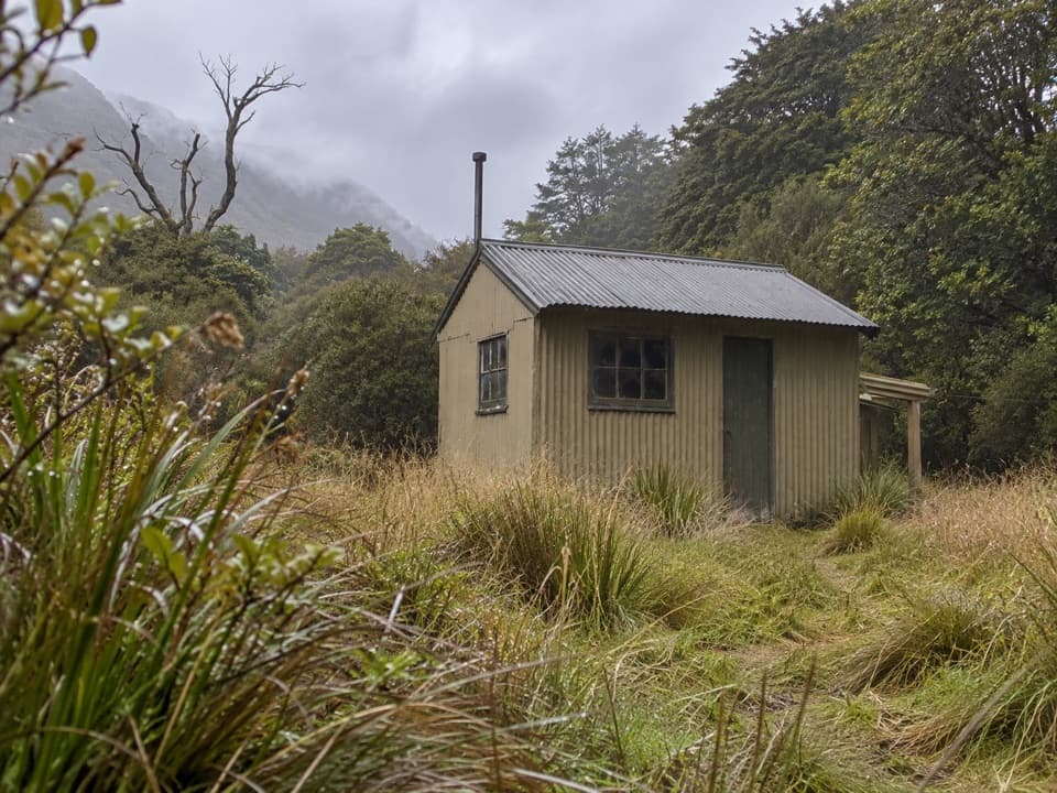
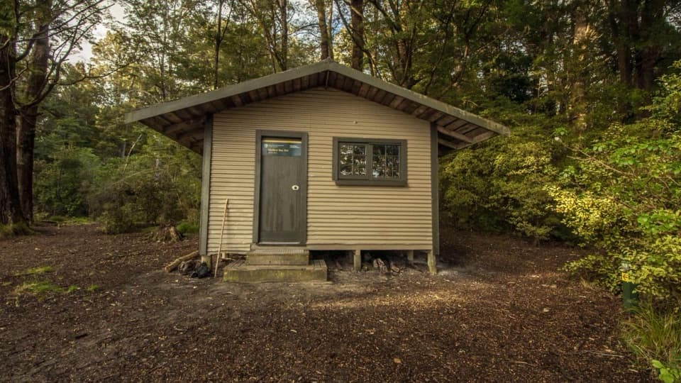
Photo: Department of Conservation / CC BY 4.0. Photographer not stated on source page

Length
8.8km
Time
4hr
Elev. change
379m
Difficulty
Challenging
  • Loop
  • No dogs
  • High point 557 m
  • #22 of 77 in Fiordland

Hear the audio tour

Waiau River Crossing and Circle Track

Overview

About Pearl Harbour Return via Circle Track

Why go

  • A genuine loop with forest, ridge and lakeshore sections.
  • A broad Lake Manapouri view toward Mt Titiroa and the Hunter Mountains.

Heads up

  • The required Waiau River crossing adds boat and timing logistics.
  • The climb is steep and slippery, and the lookout edge is unstable.

Map & elevation

The route

Loading the Fiordland map
Full map
Elevation178–557 m
TrailheadManapouri Track Trail Head (opposite-bank jetty)-45.57178, 167.61397
Keep this map with you offline in the Parkwolf app

Plan your hike

Before you go

Parking

Use the Pearl Harbour car park off View Street in Manapouri; the wharf is about 500 m beyond the Waiau Street shops. Cross the Waiau River to the opposite-bank jetty by summer water taxi or private boat. Confirm current crossing arrangements before setting out.

Safety

The climb is steep and often slippery. Dense bush or treefall can hide the orange track markers. The lookout cliff face is eroding and may be unstable; keep well back from the edge. A boat crossing is required, and dogs are prohibited.

A park ranger sits on a dash-mounted phone, talking, as Parkwolf’s Tour Guide plays “Army Cutworm Moths: A Grizzly Bear Buffet” on Grand Loop Road below Dunraven Pass in Yellowstone
Parkwolf Tour GuideThe highest, rockiest slopes around here are a summer buffet for grizzly bears.

Fiordland Tour Guide

Your drive to Pearl Harbour Return via Circle Track, narrated.

Parkwolf is a GPS audio tour guide for Fiordland National Park. As you drive, it chimes in with what’s ahead: hidden gems, upcoming stops, history, geology, and wildlife, right through your car’s speakers.

See the Fiordland audio tour

Recorded for this trailhead

Waiau River Crossing and Circle Track
0:00 / 0:29
“You're nearing the Waiau River crossing for Circle Track, a forest climb to a view over Lake Manapouri. Arrange a boat across and a return pickup before setting out; the walking starts on the opposite bank.”

Plays as you drive up to this trailhead in the Parkwolf Fiordland Tour Guide.

More stories near here in the app

  • Pearl Harbour and Doubtful Sound Departure
  • Frasers Beach on Lake Manapouri
  • The Fuchsia That Changes Colour
  • The Kākāpō’s Bass Notes
  • 112 audio storiesacross Fiordland’s roads, triggered by GPS as you drive
  • Wildlife heatmapsfor Kea, Fiordland Penguin, Blue Duck, and 13 more
  • Works offlinemaps, 77 trails, 102 places, and audio download before you lose signal
  • CarPlay readysimple controls built for the drive
★★★★★
“Fantastic app with many points of information… It’s great to just turn on while you’re driving and it gives you an audio tour of the national Park. We love it!!!!”
JMJamesApp Store review
Download Parkwolf on the App StoreGet Parkwolf on Google Play

4.7 from 8,600+ ratings

Trail guide

Hiking Pearl Harbour Return via Circle Track

The full loopPearl Harbour Return via Circle Track is an 8.8 km (5.

Pearl Harbour Return via Circle Track is an 8.8 km (5.4 mile) loop from the opposite-bank jetty on Lake Manapouri. It climbs through beech and podocarp forest to a signed lookout, then descends a ridge and follows Hope Arm Track back around to the jetty. It is a steep half-day tramp with a boat crossing before you reach the trail.

Published distances differ, from 6.9 to 10 km. The mapped line here counts the riverside approach from the jetty to the loop and back, plus the lookout spur out and back. Use 8.8 km for planning and allow about 3.5 to 4 hours on foot, with boat time on top.

Climb to the lookoutFrom the landing, follow the riverside track for about 15 minutes to the junction and turn left…

From the landing, follow the riverside track for about 15 minutes to the junction and turn left uphill. The climb is steep and often slippery under forest cover. Orange markers can be hard to see in dense bush or after treefall, so keep checking the marked line at junctions.

Beech and podocarp trees shade much of the ascent. Robins, tomtits, tūī and bellbirds are common in this forest. At the signed lookout spur, step out for the lake view, then return to the main track.

Keep back from the edgeThe viewpoint looks across Lake Manapouri toward the Hunter Mountains, Mt Titiroa, Monument and…

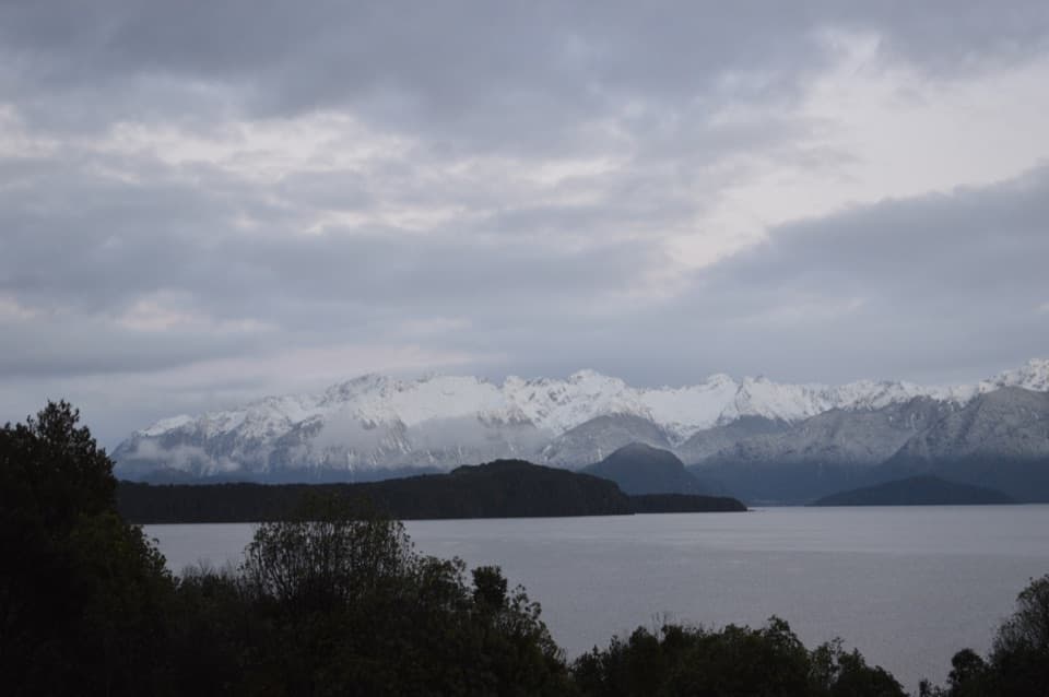
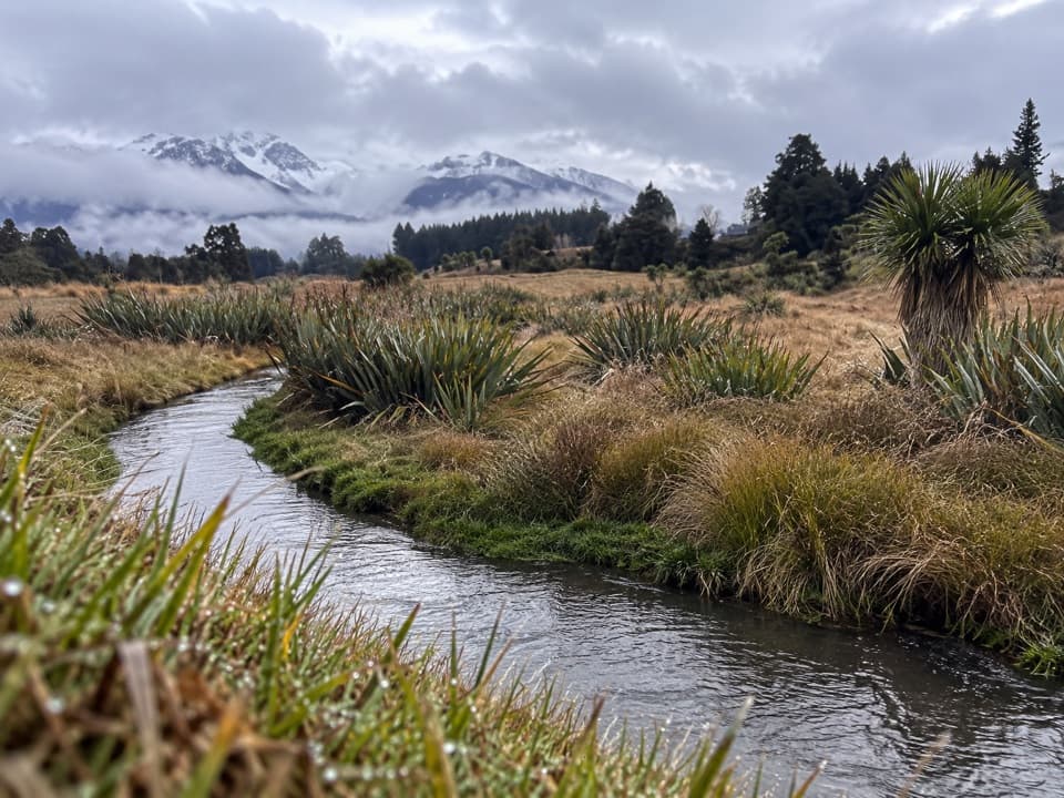
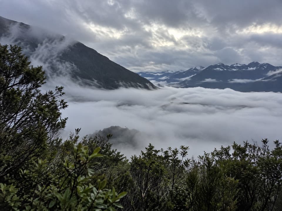
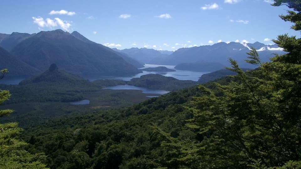
The viewpoint looks across Lake Manapouri toward the Hunter Mountains, Mt Titiroa, Monument and Rona Island. The cliff face at the lookout is eroding and may be unstable; stay well back from its edge. For a photo that shows the scale of the view, keep some of the forested ridge in the foreground with the lake channels and mountains beyond.

Mt Titiroa stands out as a pale peak above the dark forest. Its white rock is granite left from an ancient magma chamber, exposed by erosion; the mountain’s boulder shapes were further weathered by layers peeling away from the rock.

Down to Hope ArmReturn from the lookout spur and continue along the ridgeline.

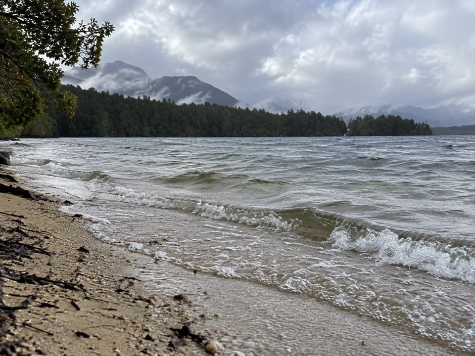
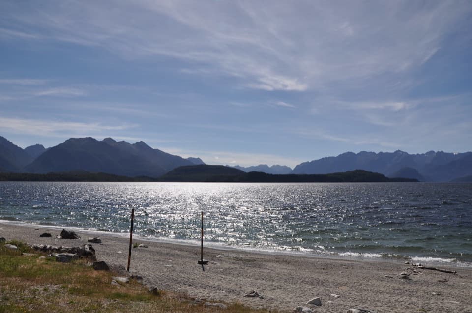
Return from the lookout spur and continue along the ridgeline. The route descends to the Hope Arm Track junction; turn right for the return toward the jetty, roughly an hour from this junction. The path follows the lake in places and has small beach access points, a welcome contrast to the forest climb. The beach breaks are side access, not a separate route or guaranteed swimming stop.

The lake itself carries a lasting conservation story: a 1970s campaign stopped a proposed 30 m rise in its level that would have submerged islands and changed the shorelines around Manapouri and Te Anau.

Arrange the crossing firstThe walk starts after crossing the Waiau River to the opposite-bank jetty.

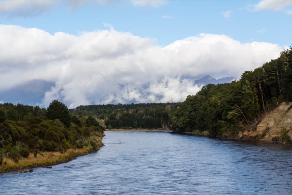
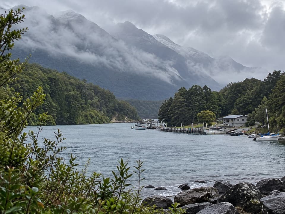
The walk starts after crossing the Waiau River to the opposite-bank jetty. A water taxi runs in summer, or you can arrive by private boat; arrange and confirm the crossing before setting out. In Manapouri, use the Pearl Harbour car park off View Street; the wharf is about 500 m beyond the Waiau Street shops. There are no dogs on this track.
Wildlife

Wildlife in Fiordland

All Fiordland wildlife maps

Sighting maps show where each species has been reported across Fiordland. Wildlife moves, so no sighting is guaranteed.

Keep exploring

Near Pearl Harbour Return via Circle Track

See it all on the map

Trails that start nearby

Places near the trailhead

Parkwolf’s Fiordland ranking

Top-rated trails in Fiordland

All 77 trails
  1. 1Milford TrackChallenging · 53.5 km
  2. 2Routeburn TrackChallenging · 33 km
  3. 3Kepler TrackChallenging · 60 km
  4. 4Routeburn Track: Key Summit TrackModerate · 6.8 km
  5. 5Lake Marian TrackChallenging · 6.2 km
  6. 6Hump Ridge TrackChallenging · 61.5 km

Take Parkwolf to Fiordland.

The audio tour guide for the drive, plus offline maps, trails, and wildlife heatmaps for when the signal drops.

4.7 from 8,600+ ratings

Download Parkwolf on the App StoreGet Parkwolf on Google Play