Parking
At the Pearl Harbour end, the carpark is accessed from View Street; the wharf is about 500 m past the Waiau Street shops. The other access is at Frasers Beach Road north of Manapouri. Return to the same end for the out-and-back walk.
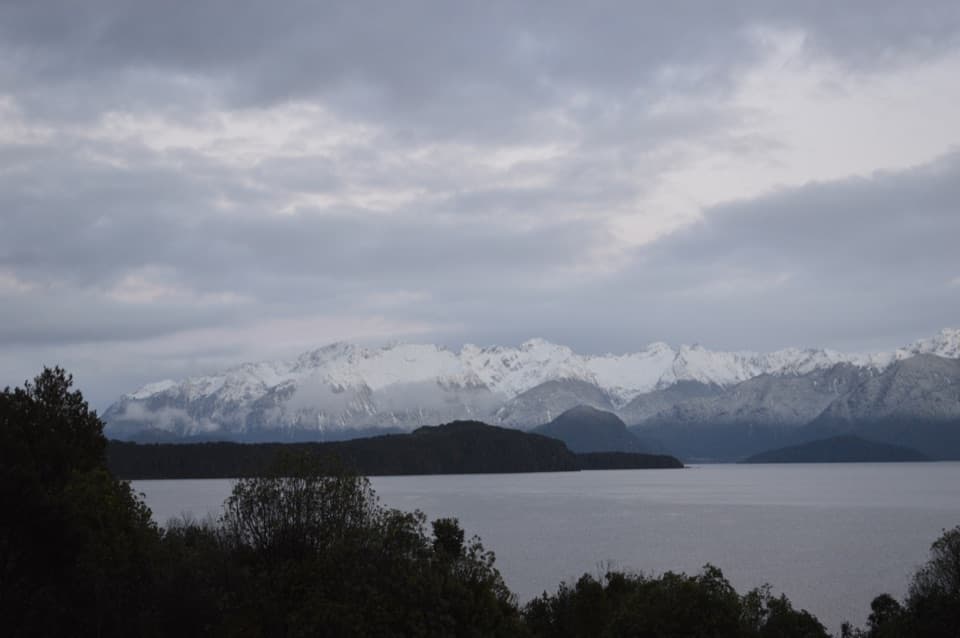
Fiordland National Park, SL
A short lakeshore walk links Manapouri with Frasers Beach.
Photo: Mattinbgn ( talk · contribs ), CC BY 3.0, via Wikimedia Commons
Overview
Map & elevation
Plan your hike

The highest, rockiest slopes around here are a summer buffet for grizzly bears.
Fiordland Tour Guide
Parkwolf is a GPS audio tour guide for Fiordland National Park. As you drive, it chimes in with what’s ahead: hidden gems, upcoming stops, history, geology, and wildlife, right through your car’s speakers.
See the Fiordland audio tourRecorded for this trailhead
Frasers Beach on Lake Manapouri“Up ahead is Frasers Beach, a gravel shore looking across Lake Manapouri's islands toward the mountains.”
Plays as you drive up to this trailhead in the Parkwolf Fiordland Tour Guide.
More stories near here in the app
“Fantastic app with many points of information… It’s great to just turn on while you’re driving and it gives you an audio tour of the national Park. We love it!!!!”


Trail guide
This short, easy-to-intermediate walk links the Pearl Harbour end of Manapouri with Frasers Beach. DOC lists 2.1 km and 30 minutes; its brochure says track times are one way unless noted. Treating the distance as one way best matches the mapped shoreline. Returning to your start makes an outing of about 4.2 km and roughly an hour. Walk the shore or choose the separate track that parallels it.
The route reaches a lakeside beach with views across Lake Manapouri toward Fiordland National Park. Picnic tables and toilets are available, and swimming is one reason visitors stop. Sunset is a particular highlight. Visitor descriptions of the beach surface differ, so the route copy does not promise a continuous sandy shore.
DOC identifies Pearl Harbour in Manapouri and the Frasers Beach Road entrance north of town as access points. At Pearl Harbour, use the carpark off View Street; the wharf is about 500 m past the Waiau Street shops. Return to the same access along the shore if you are not arranging a pickup. Dogs are not allowed.
Wildlife
 1,233 sightingsKeaMost seen around 10 AMSighting map
 214 sightingsFiordland PenguinMost seen around 7 PMSighting map
 233 sightingsBlue DuckMost seen around 5 PMSighting map
 32 sightingsBottlenose DolphinMost seen around 5 PMSighting map
 252 sightingsNew Zealand Fur SealMost seen around 6 PMSighting map
 69 sightingsKākāMost seen around 6 PMSighting map
Sighting maps show where each species has been reported across Fiordland. Wildlife moves, so no sighting is guaranteed.
Keep exploring
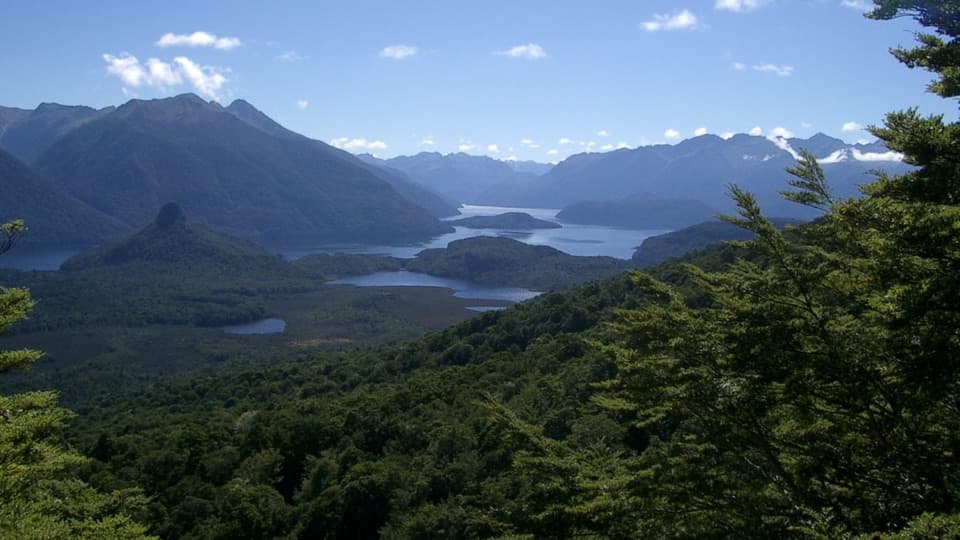 ChallengingPearl Harbour Return via Circle Track8.8 km · 4 hr · 0.8 km awayA steep lake-view circuit that starts with a boat crossing.
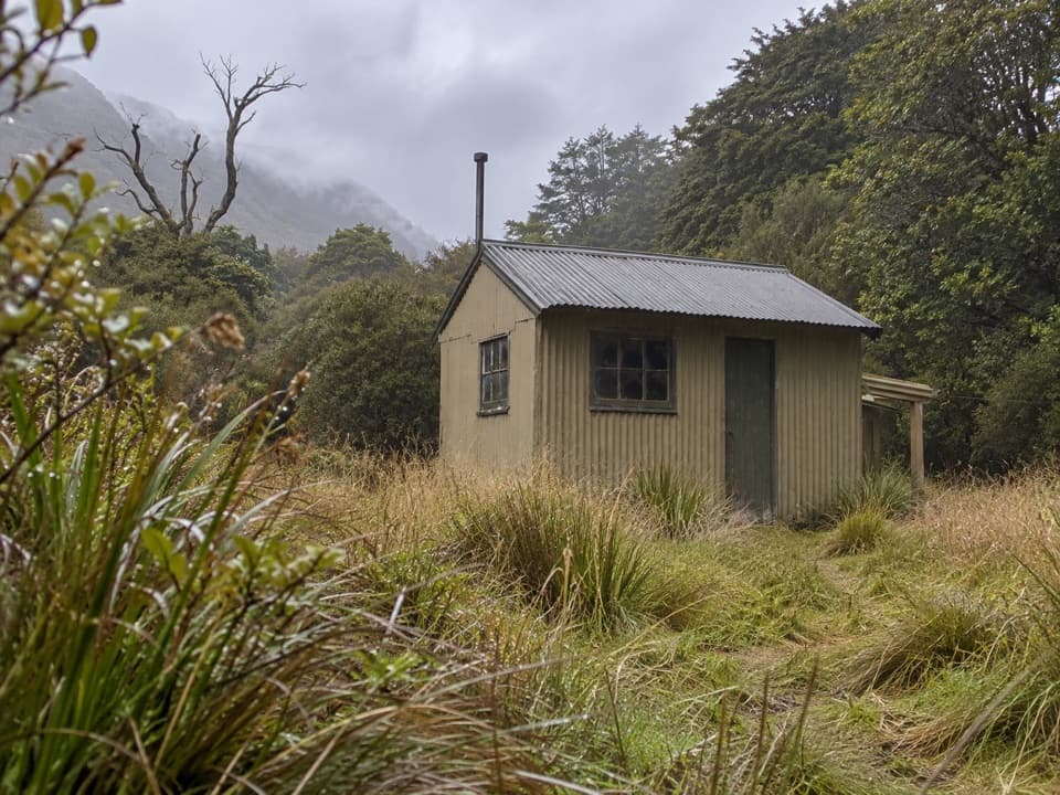 ChallengingPearl Harbour to Back Valley Hut Track15.6 km · 4.5 hr · 0.8 km awayCross the Waiau for a forest hut walk.
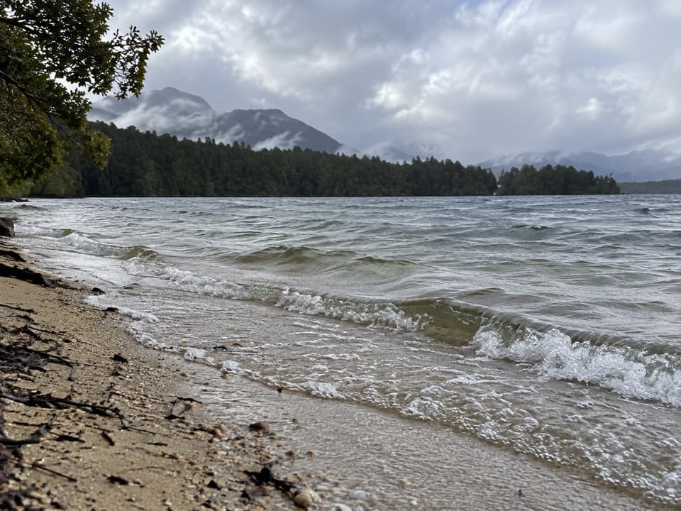 ChallengingLake Rakatu Track21.1 km · 9 hr · 0.9 km awayA long, muddy tramp to a forested backcountry lake.
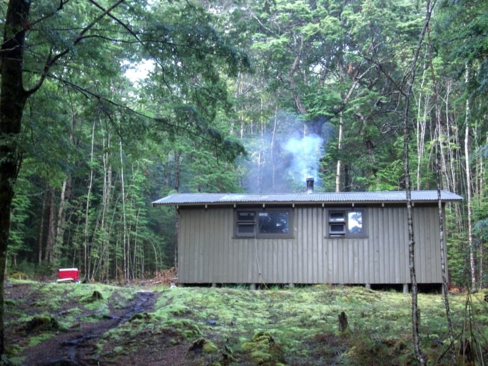 ChallengingPearl Harbour to Hope Arm Track19.2 km · 5 hr · 0.9 km awayBoat-access forest tramp to Hope Arm beach and hut
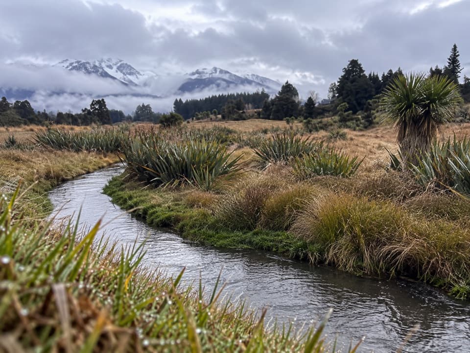 EasyHome Creek Walk1.6 km · 30 min · 2.3 km awayA short loop beside a naturally meandering stream near Manapouri.
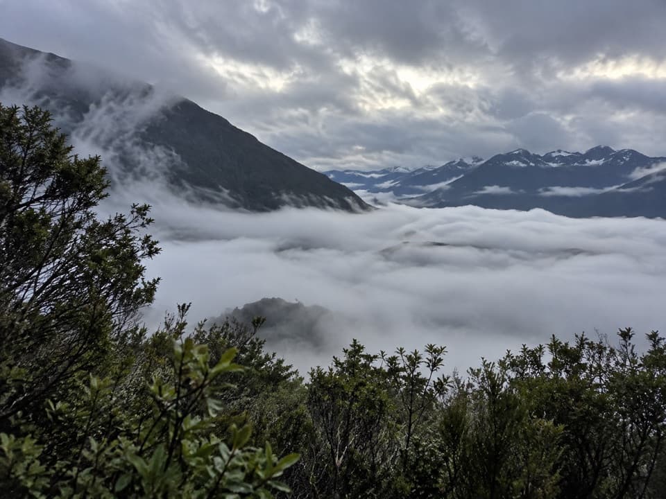 ChallengingMonument Track1.7 km · 1.8 hr · 4.8 km awayA steep, exposed chain climb to a wide Lake Manapouri panorama.
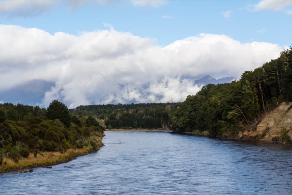 ModerateKepler Track: Rainbow Reach to Shallow Bay Hut12 km · 3.3 hr · 9.7 km awayA side branch to a six-bunk hut on Lake Manapouri.ModerateKepler Track: Rainbow Reach to Moturau Hut12 km · 3.3 hr · 9.8 km awayA bog boardwalk breaks up the forest walk to Lake Manapouri.
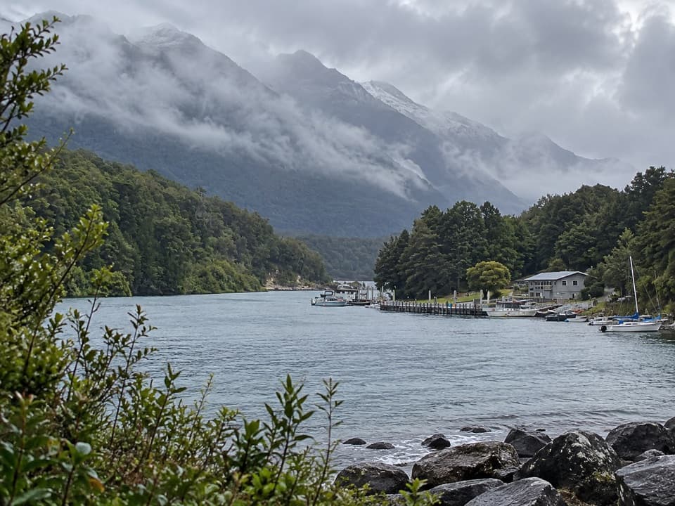 Sight · 0.4 km awayPearl HarbourBoard here for the lake crossing into Doubtful Sound.
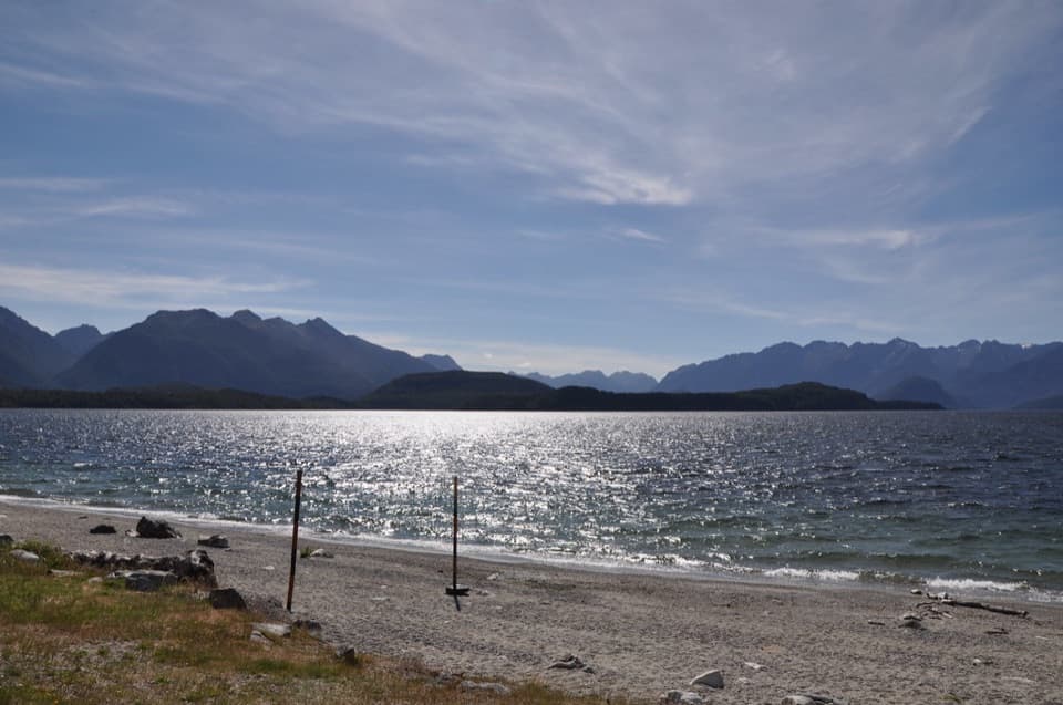 Beach · 0.9 km awayFrasers BeachA lakeside pause with sunset views and an easy beach walk.
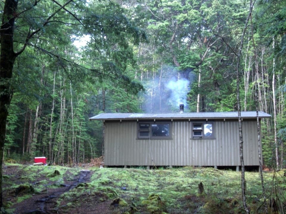 Lodging · 5.5 km awayHope Arm HutA remote hut at the end of a swimming beach.
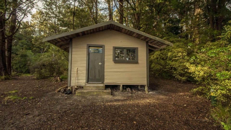 Lodging · 8.4 km awayShallow Bay HutA six-bunk lakeside hut reached on foot or across the lake.
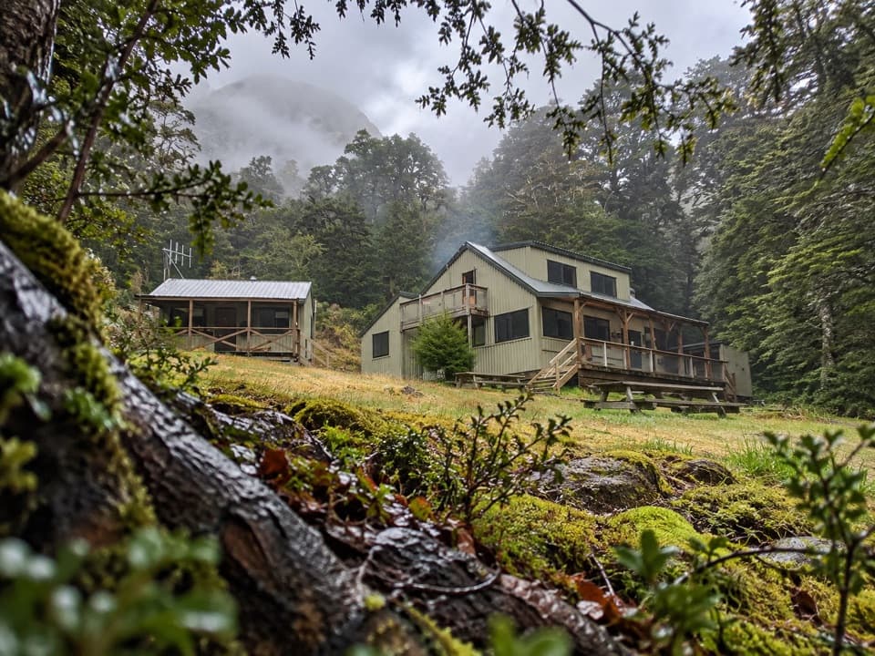 Lodging · 9.6 km awayMoturau HutA lakeside Great Walk hut with its own beach and swim spot.
Parkwolf’s Fiordland ranking

The audio tour guide for the drive, plus offline maps, trails, and wildlife heatmaps for when the signal drops.





