Pearl Harbour to Back Valley Hut Track in Fiordland National Park

Fiordland National Park, SL

Pearl Harbour to Back Valley Hut Track

Cross the Waiau for a forest hut walk.

Length
15.6km
Time
4.5hr
Elev. change
80m
Difficulty
Challenging
  • No dogs
  • High point 258 m

Hear the audio tour

Waiau River Crossing and Circle Track

Overview

About Pearl Harbour to Back Valley Hut Track

A hut out-and-back from the far side of the Waiau River, following lake-edge track and forest to Back Valley Hut. The track is listed as about 7.8 km; the mapped jetty-to-hut line is about 7.1 km, so the 7.8 km figure appears to be one way and the full walk is about 15.6 km return. Timing guidance differs: the detailed route description gives 4–5 hours return, while a separate park guide uses one-way times. Leave extra daylight and confirm the timing before setting out.

Why go

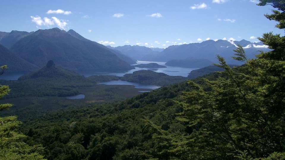
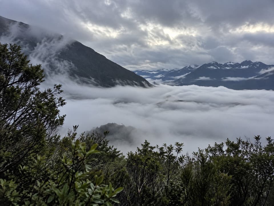
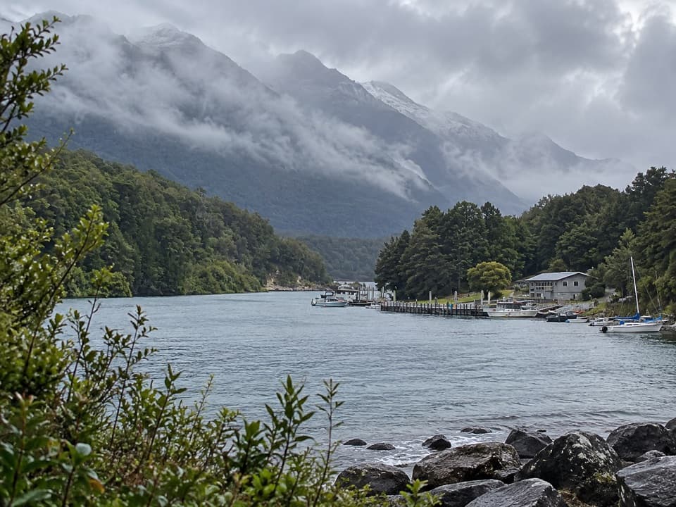
  • Terrace views over the Manapouri boat harbour
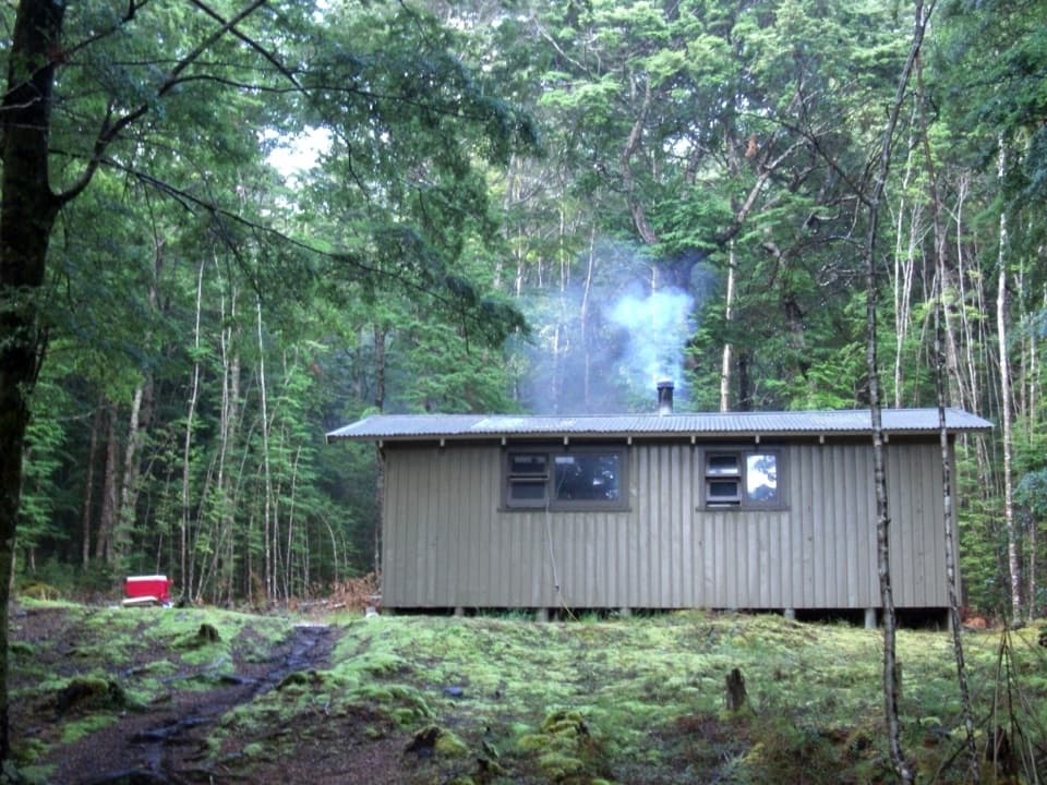
  • A backcountry hut in a forest clearing
  • Lake Rakatu side trip from the hut

Heads up

  • A Waiau River crossing must be arranged separately
  • Advanced tramping track with a muddy final section after heavy rain

Map & elevation

The route

Loading the Fiordland map
Full map
Elevation178–258 m
TrailheadPearl Harbour west-bank jetty-45.57178, 167.61397
Keep this map with you offline in the Parkwolf app

Plan your hike

Before you go

Parking

The Pearl Harbour wharf is 500 m beyond the Waiau Street shops; the car park is accessed from View Street. The walk starts across the Waiau River at the west-bank jetty. Summer water taxis and hired rowboats are crossing options; check local availability and cost.

Safety

This is an advanced tramping track. Arrange the Waiau River crossing before setting out. The final approach can be very muddy after heavy rain. Leave extra daylight because published timing guidance differs on whether the 4–5 hour estimate is for the return or one way.

A park ranger sits on a dash-mounted phone, talking, as Parkwolf’s Tour Guide plays “Army Cutworm Moths: A Grizzly Bear Buffet” on Grand Loop Road below Dunraven Pass in Yellowstone
Parkwolf Tour GuideThe highest, rockiest slopes around here are a summer buffet for grizzly bears.

Fiordland Tour Guide

Your drive to Pearl Harbour to Back Valley Hut Track, narrated.

Parkwolf is a GPS audio tour guide for Fiordland National Park. As you drive, it chimes in with what’s ahead: hidden gems, upcoming stops, history, geology, and wildlife, right through your car’s speakers.

See the Fiordland audio tour

Recorded for this trailhead

Waiau River Crossing and Circle Track
0:00 / 0:29
“You're nearing the Waiau River crossing for Circle Track, a forest climb to a view over Lake Manapouri. Arrange a boat across and a return pickup before setting out; the walking starts on the opposite bank.”

Plays as you drive up to this trailhead in the Parkwolf Fiordland Tour Guide.

More stories near here in the app

  • Pearl Harbour and Doubtful Sound Departure
  • Frasers Beach on Lake Manapouri
  • The Fuchsia That Changes Colour
  • The Kākāpō’s Bass Notes
  • 112 audio storiesacross Fiordland’s roads, triggered by GPS as you drive
  • Wildlife heatmapsfor Kea, Fiordland Penguin, Blue Duck, and 13 more
  • Works offlinemaps, 77 trails, 102 places, and audio download before you lose signal
  • CarPlay readysimple controls built for the drive
★★★★★
“Fantastic app with many points of information… It’s great to just turn on while you’re driving and it gives you an audio tour of the national Park. We love it!!!!”
JMJamesApp Store review
Download Parkwolf on the App StoreGet Parkwolf on Google Play

4.7 from 8,600+ ratings

Trail guide

Hiking Pearl Harbour to Back Valley Hut Track

Cross the river and stay on the hut branchThe route starts at the west-bank jetty, so the Waiau crossing is a separate part of the plan.

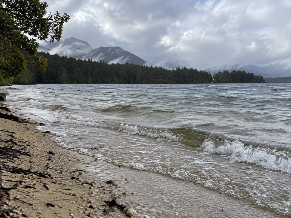
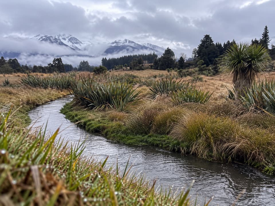
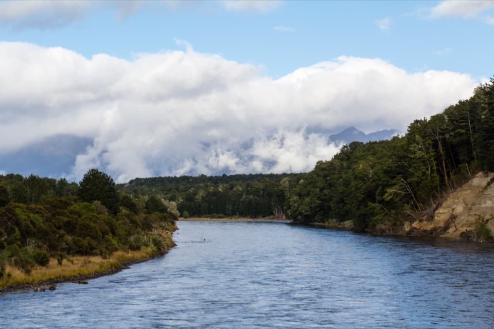
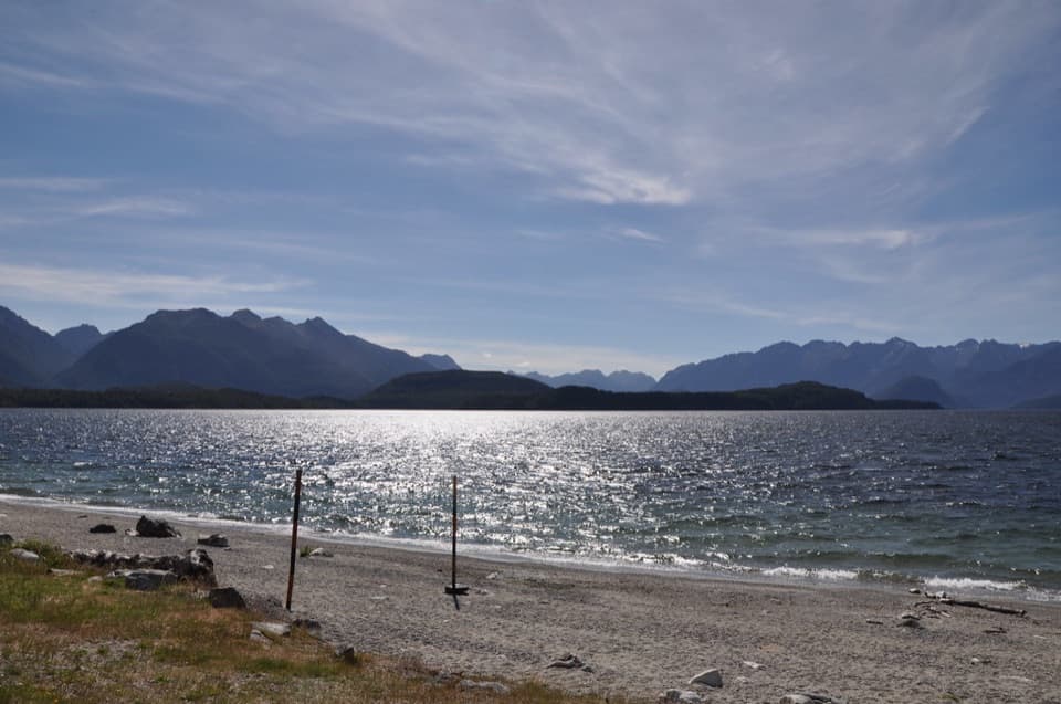
The route starts at the west-bank jetty, so the Waiau crossing is a separate part of the plan. A water taxi runs in summer and rowboats can be hired; confirm arrangements before leaving Pearl Harbour. From the jetty, follow the track beside the river. At the Circle Track junction, continue straight. The track comes close to Lake Manapouri, then climbs gently to a spur. Continue straight again where Circle Track rejoins, then take the left branch at the Back Valley and Hope Arm junction. Small tracks lead down to the lake, but they are not the hut route.

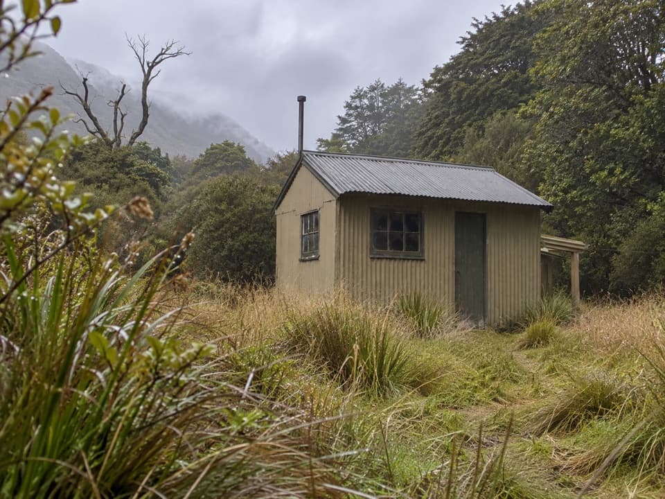
Forest approach and hut stayThe final branch passes through beech and podocarp forest and ribbonwood before opening into…

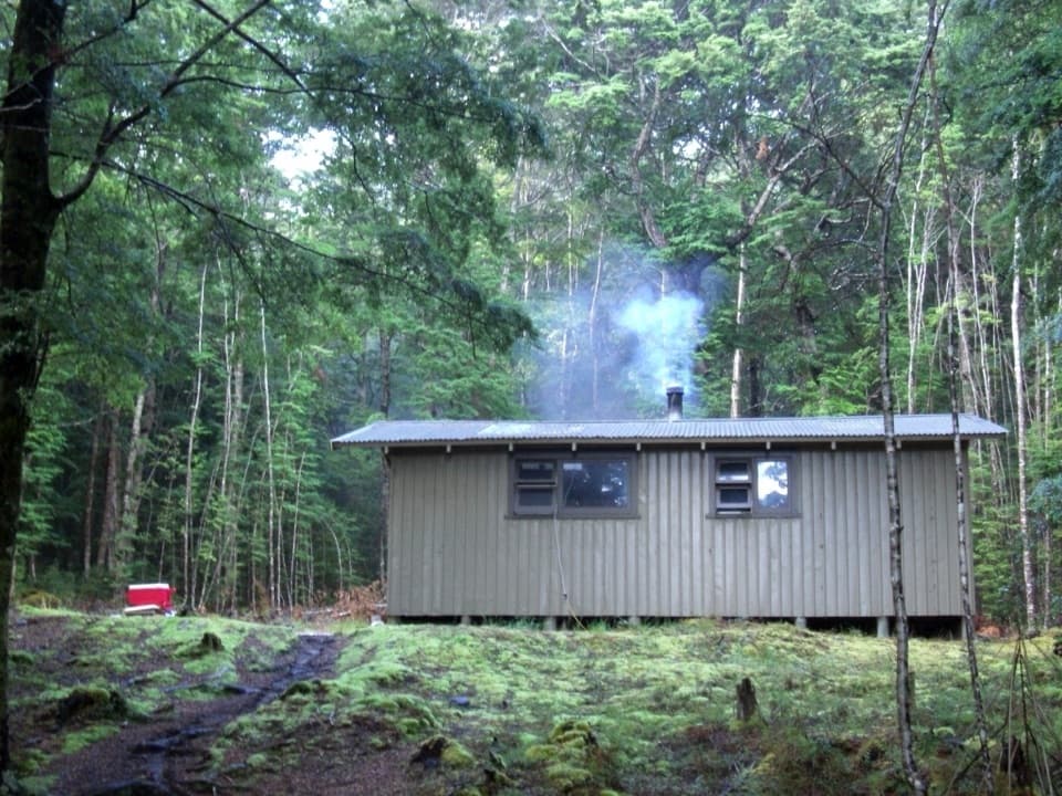
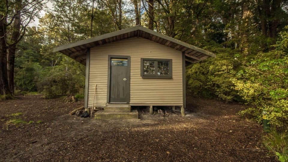
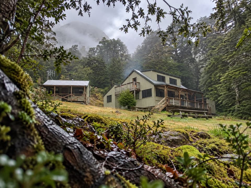
The final branch passes through beech and podocarp forest and ribbonwood before opening into small clearings around the four-bunk Back Valley Hut. The hut has heating, mattresses, a non-flush toilet and stream water. It is first come, first served, with no booking; dogs are not permitted. Expect the final section to be very muddy after heavy rain.

Optional Lake Rakatu side tripFrom the hut, Lake Rakatu is a separate two-hour return walk through forest and clearings.

From the hut, Lake Rakatu is a separate two-hour return walk through forest and clearings. It is described as very muddy, so allow that extra time and treat it as an extension rather than part of the mapped hut return.

Wildlife

Wildlife in Fiordland

All Fiordland wildlife maps

Sighting maps show where each species has been reported across Fiordland. Wildlife moves, so no sighting is guaranteed.

Keep exploring

Near Pearl Harbour to Back Valley Hut Track

See it all on the map

Trails that start nearby

Places near the trailhead

Parkwolf’s Fiordland ranking

Top-rated trails in Fiordland

All 77 trails
  1. 1Milford TrackChallenging · 53.5 km
  2. 2Routeburn TrackChallenging · 33 km
  3. 3Kepler TrackChallenging · 60 km
  4. 4Routeburn Track: Key Summit TrackModerate · 6.8 km
  5. 5Lake Marian TrackChallenging · 6.2 km
  6. 6Hump Ridge TrackChallenging · 61.5 km

Take Parkwolf to Fiordland.

The audio tour guide for the drive, plus offline maps, trails, and wildlife heatmaps for when the signal drops.

4.7 from 8,600+ ratings

Download Parkwolf on the App StoreGet Parkwolf on Google Play