
Place · 0 mi away
Challenging
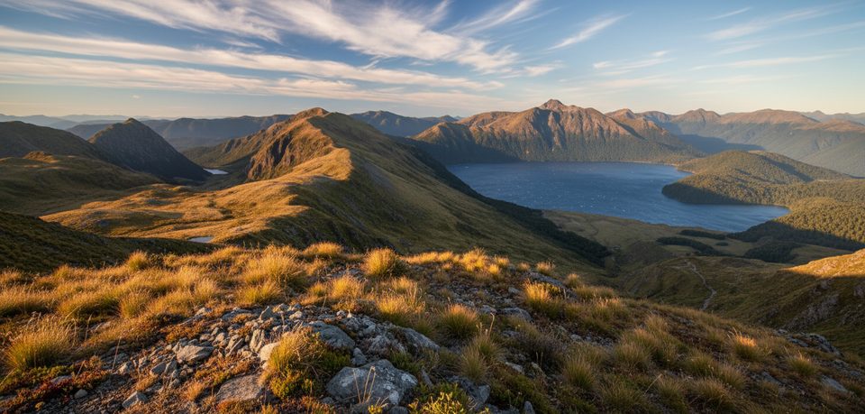
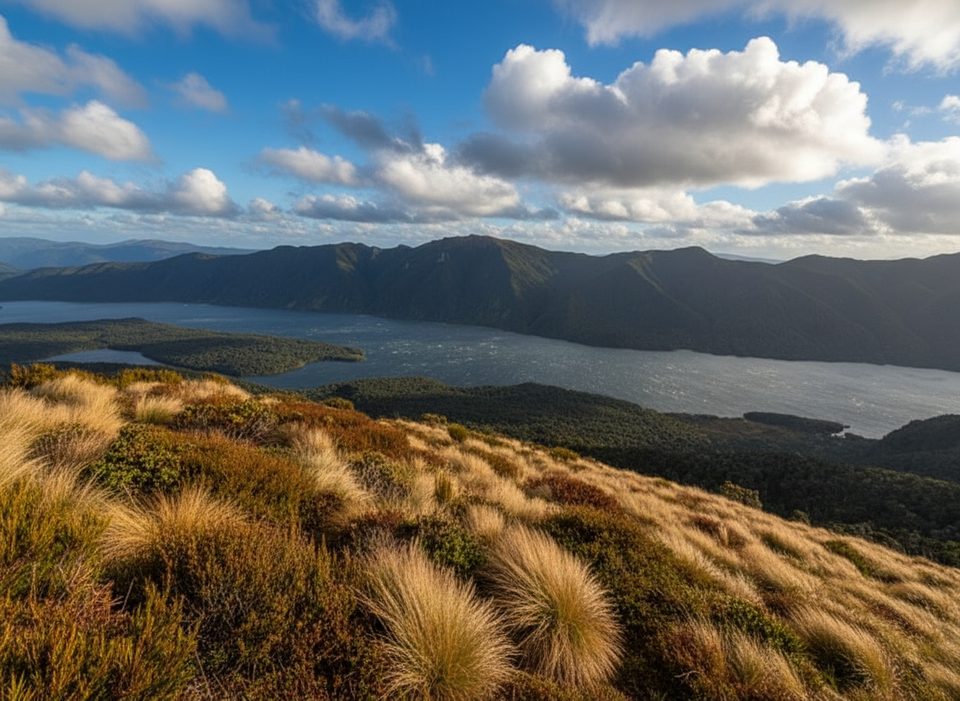
This is Fiordland’s quieter alpine classic: a steep, rewarding climb from Borland Saddle to the Mt Burns tarns, with the option to continue along a rough ridge to the summit. Expect solitude, sculpted tarns set in tussock, and wide-open views across Green Lake, Island Lake, and the remote southern ranges. The full outing is about 10 km / 6.2 miles return and typically takes 6–7 hours; turning around at the tarns makes a much shorter day.
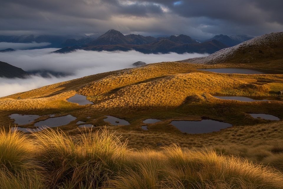
From the Borland Saddle trailhead, a short beech-forest warm-up quickly tips you onto the open tops. In roughly 30–60 minutes you’ll reach the first cluster of alpine tarns—mirrorlike pools nestled in glacial hollows and surrounded by distinctive Fiordland montane vegetation. Many hikers make the tarns their turnaround point and still feel they’ve won the day.
Push on and the character changes: a rockier, mostly unmarked ridge leads toward the 1645 m summit of Mt Burns. The travel is never technical mountaineering, but you’ll pick your way over rough, sometimes scrambly ground with occasional route-finding. On a clear day the 360-degree panorama is huge and wonderfully empty of crowds.
Overall difficulty sits in the moderate-to-hard band: an accessible start to the tarns, then a committing, unmarked ridge for the summit. Figure on around 480–500 m of climbing, with steep sections and rough footing near the top. Navigation skills are important in cloud or poor visibility. Fiordland weather turns fast—pack warm, waterproof layers. Snow and ice can linger or arrive unexpectedly in winter and spring, making higher sections hazardous.
Summer through early autumn (December–April) usually offers the safest conditions, longer daylight, and the least snow. In winter and spring, expect snow/ice and severe, changeable weather; save the summit for settled forecasts.
Trailhead access is via Borland Road to Borland Saddle; this road can be rough and is sometimes closed in winter or after storms—check status before you go. Water is available from tarns but treat it. The alpine area is fragile and home to endemic and nationally threatened plant species; stick to durable surfaces around the tarns. If time, weather, or experience are limited, make the tarns your goal—you won’t feel shortchanged.
Park at the Borland Saddle carpark on Borland Road; check road status and conditions, as closures are common in winter or after storms.
Beyond the tarns the route is largely unmarked on a rocky ridge; carry navigation and be prepared for rapid weather changes. Snow/ice in winter and spring can make upper sections hazardous. Treat tarn water and tread lightly in this fragile alpine ecosystem.
Place · 0 mi away
Place · 1.2 mi away
Place · 8.8 mi away
Place · 9.8 mi away
Moderate · 0 mi away
Easy · 7.9 mi away
Challenging · 8.2 mi away
Challenging · 8.2 mi away

Parkwolf Tour Guide
