
Place · 0 mi away
Moderate
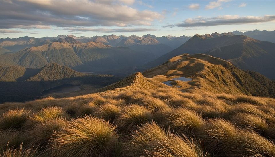
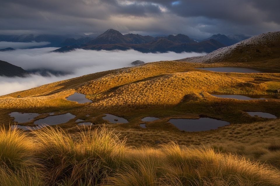
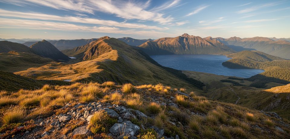
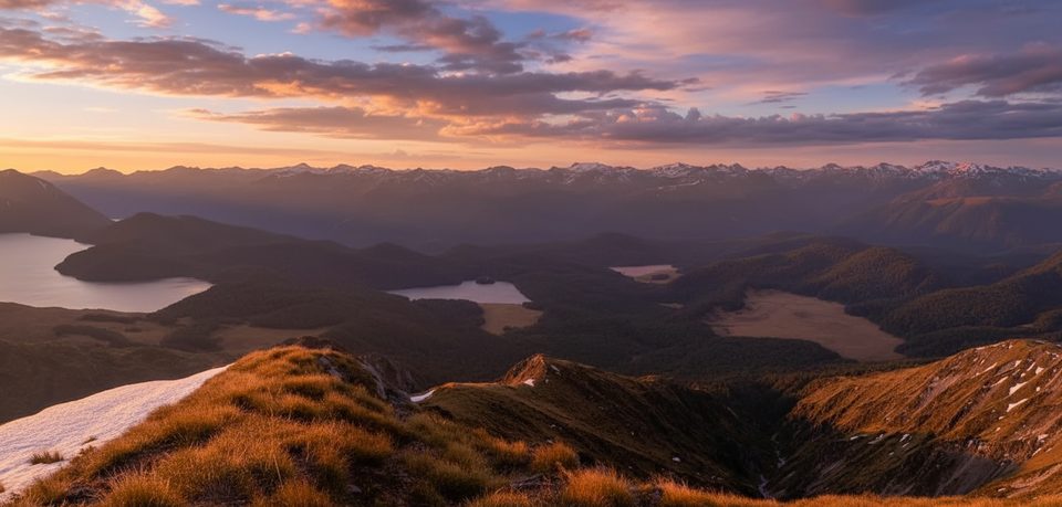
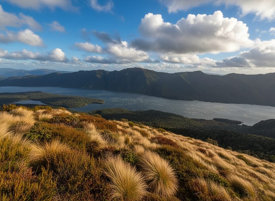
If you want instant alpine without a multi-day commitment, this short track delivers. From Borland Saddle you’re in mossy beech forest for a few minutes, then pop onto open tussock tops dotted with reflective alpine tarns. On a clear day you’ll score sweeping views toward the Grebe Valley and even Green Lake in the distance. The area’s a hotspot for rare and fragile alpine plants—slow down and look closely.
This is an out-and-back to the tarns, about 0.9 miles total (roughly 1.4 km) and typically 45–60 minutes return. Despite the modest stats, it’s an Advanced-grade tramping track with short steep pinches, uneven tussock, and occasionally muddy or rocky patches. The route is straightforward to the tarns and feels wonderfully remote compared to Fiordland’s famous great walks.
Beyond the tarns a challenging, unmarked route continues to Mount Burns. Expect steep terrain and real navigation—this is for well-equipped trampers only. Plan a much longer day (around 6–7 hours return and roughly 10 km) if you go for the summit.
Summer through early autumn offers the most reliable conditions and the biggest views. In winter, snow and ice can turn the exposed tops into a no-go, and the access road may be closed. For photos, aim for early or late in the day when the tarns are calm and the light is soft; misty days can be moody but shrink your views.
Start at Borland Saddle on Borland Road (a rough gravel road originally built for the Manapouri hydro scheme). The road can close in winter due to snow and avalanche risk—check status before you go. There are no facilities at the trailhead; the nearest accommodation is Borland Lodge, about 40 minutes away by car.
Park at the Borland Saddle carpark on Borland Road; no facilities at the trailhead.
Rapid weather changes on exposed tops; fragile alpine plants; steep uneven sections; Borland Road may be closed in winter; route beyond the tarns to the summit is unmarked and for experienced trampers only.
Place · 0 mi away
Place · 1.2 mi away
Place · 8.8 mi away
Place · 9.8 mi away
Challenging · 0 mi away
Easy · 7.9 mi away
Challenging · 8.2 mi away
Challenging · 8.2 mi away

Parkwolf Tour Guide
