Parking
Park at the Monowai campsite/car park on Lake Monowai Road. The track starts just before the road end; follow the DOC signs. Lake Monowai is about 67 km from Te Anau.
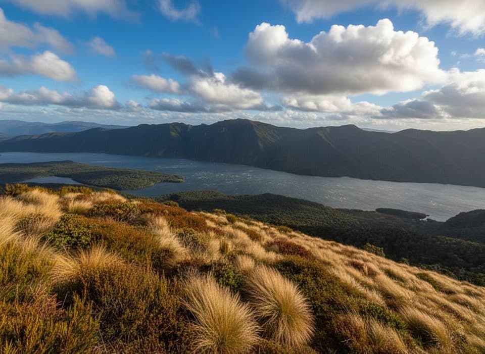
Fiordland National Park, SL
Demanding tramping from Lake Monowai to a remote six-bunk hut on Rodger Inlet
Overview
Rodger Inlet Track is a demanding Fiordland tramp from the Lake Monowai car park to a remote six-bunk hut on the shores of Rodger Inlet. The track starts just before the road end, climbs above Lake Monowai, then descends to the Walker River. It crosses an old river delta that can be swampy before continuing to the inlet and hut.
Plan on about 10 km one way and 6 hours each way, or 20 km (12.4 miles) for the return outing. The stored line follows the complete outbound corridor; return via the same track. Windfalls, roots, mud and wet ground can make progress slow, so allow extra time and carry reliable navigation equipment.
Rodger Inlet Hut is a standard six-bunk hut with mattresses, heating and non-flush toilets. Hut bookings are not required, but carry the appropriate hut ticket or Backcountry Hut Pass. Water from the hut tap is untreated and must be boiled or treated. A separate 3.5 km route continues steeply from the hut to the bushline; it is a more challenging route and is not included in this trail.
This is an advanced, remote route in Fiordland National Park with no dogs allowed. Access is via Lake Monowai Road and the Monowai campsite/car park, about 67 km from Te Anau. Expect limited services, changing weather and a rough track rather than a formed Great Walk.
Map & elevation
Plan your hike

The highest, rockiest slopes around here are a summer buffet for grizzly bears.
Fiordland Tour Guide
Parkwolf is a GPS audio tour guide for Fiordland National Park. As you drive, it chimes in with what’s ahead: hidden gems, upcoming stops, history, geology, and wildlife, right through your car’s speakers.
See the Fiordland audio tourRecorded for this trailhead
Green Lake Track: A Remote Backcountry Tramp“The track starting nearby leads to Green Lake and Rogers Inlet. If you're looking for real Fiordland solitude, this is a great choice.”
Plays as you drive up to this trailhead in the Parkwolf Fiordland Tour Guide.
More stories near here in the app
“Fantastic app with many points of information… It’s great to just turn on while you’re driving and it gives you an audio tour of the national Park. We love it!!!!”


Wildlife
 1,181 sightingsKeaMost seen around 10 AMSighting map
 199 sightingsFiordland PenguinMost seen around 7 PMSighting map
 228 sightingsBlue DuckMost seen around 5 PMSighting map
 32 sightingsBottlenose DolphinMost seen around 5 PMSighting map
 247 sightingsNew Zealand Fur SealMost seen around 6 PMSighting map
 58 sightingsKākāMost seen around 6 PMSighting map
Sighting maps show where each species has been reported across Fiordland. Wildlife moves, so no sighting is guaranteed.
Keep exploring
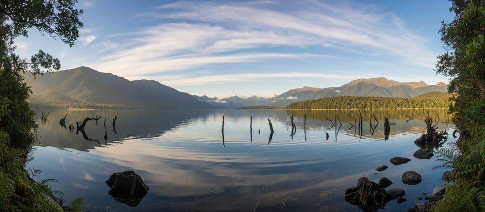 EasyLake Monowai Lookout Track2.4 km · 45 min · At the trailheadShort beech-forest walk to a Lake Monowai viewpoint
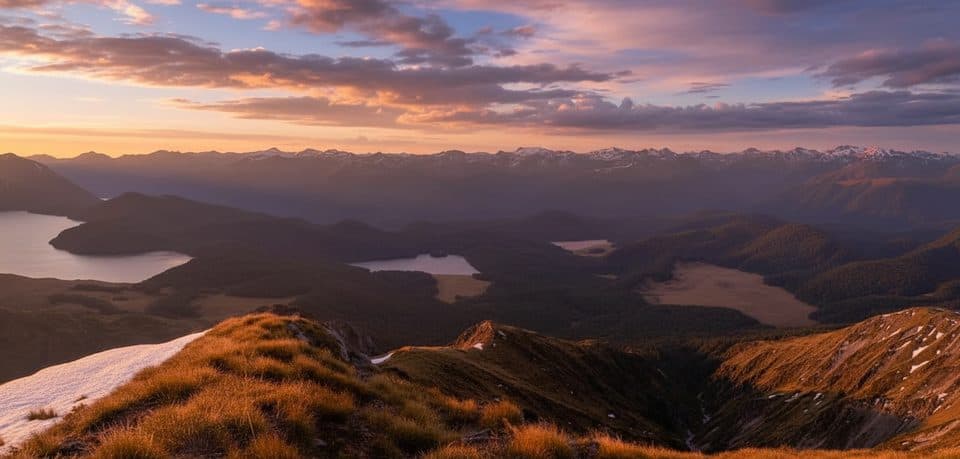 ChallengingGreen Lake Track11.1 km · 6 hr · 0.3 km awayRemote point-to-point tramp from Lake Monowai to Green Lake Hut
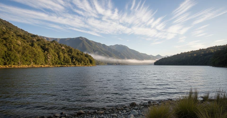 EasyBorland Nature Walk2.2 km · 40 min · 4.1 km awayMossy beech forest loop with a swing bridge and zero crowds.ChallengingNorth Borland Hut Track24.1 km · 14 hr · 4.1 km awayAdvanced out-and-back to North Borland Hut through the Borland Valley
 ModerateMount Burns Tarns Track1.4 km · 45 min · 13.2 km awayShort, punchy climb to alpine tarns above Borland SaddleChallengingGrebe Valley Track18 km · 9 hr · 13.9 km awayRemote Borland Road-to-Lake Monowai traverse via Green Lake HutChallengingLake Hauroko Lookout Track5.4 km · 3 hr · 22.6 km awayA steep, rough rainforest climb to a rugged panorama above Lake Hauroko
Parkwolf’s Fiordland ranking

The audio tour guide for the drive, plus offline maps, trails, and wildlife heatmaps for when the signal drops.


