
Place · 0.2 mi away
Challenging
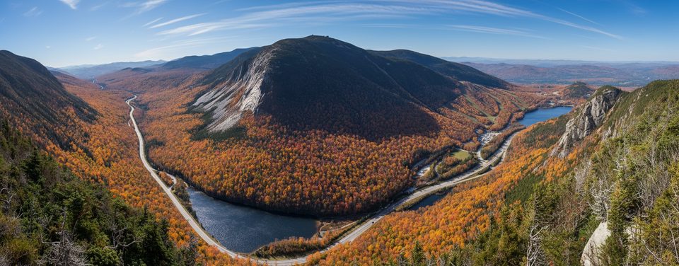
Eagle Cliff looms over the east side of Franconia Notch with steep walls, open ledges, and a wild ridge. There’s no maintained trail to its true high point (about 3,420 feet) and reaching it is a bona fide bushwhack—thick spruce, short ledges, and herd‑paths that fade in and out. Expect scratches and slow going. If you want an easy, on‑trail hike, this isn’t it; if you love off‑trail navigation and dramatic views, it’s a gem.
Length varies by line. A representative out‑and‑back to the southern high point is about 4.5 miles total, with 2–3 hours commonly reported just for the ascent; plan roughly 4.5–6 hours round trip depending on conditions and your route‑finding speed. This is advanced terrain—no blazes, frequent dead ends, and real fall potential near ledges.
Park at the Cannon Mountain Aerial Tramway lot, pass under I‑93, and follow the Greenleaf Trail toward the narrow pass between Eagle Cliff and Lafayette. From near the pass, leave the trail to bushwhack the backside (northeast slope) up to the ridge and the southern high point, which has a summit canister and log. Avoid the direct southwest face: it’s steeper, ledgier, and includes an old slide many hikers describe as sketchy.
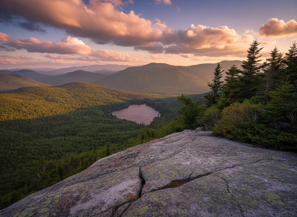
From the cliffy ledges, the views pop: Cannon Mountain and its huge cliff, Profile Lake and Echo Lake below, Bald Mountain and Artist’s Bluff, the Lafayette Brook valley, and the long ridge of Lafayette. Keep an eye out for two local rock celebrities—the profile known as “The Watcher” (aka the Old Woman of the Notch) on Eagle Cliff’s sidewalls, and the freestanding “Eaglet” near the ridge’s northern end.
Bring a real map and compass and know how to use them; a GPS track helps but don’t count on continuous herd paths. Start early, set a turnaround time, and be willing to backtrack when lines cliff out. Save this objective for dry conditions—wet ledges and mossy slabs make the pass and ridge treacherous. Consider protective clothing for the spruce and blowdowns.
Dogs are permitted on park trails with a leash no longer than 6 feet, but this route’s ledges, blowdowns, and potential water crossings make it a poor fit for most pets. If you bring a dog, be prepared to assist them and turn back if conditions aren’t safe.
If you want big views without the off‑trail commitment, hike the Greenleaf Trail to open ledges and the hut, or opt for short, view‑rich hikes like Artist’s Bluff/Bald Mountain. They deliver much of the scenery with far less risk.
Park at the Cannon Mountain Aerial Tramway lot; walk under I‑93 to pick up the Greenleaf Trail toward the pass below Eagle Cliff.
Steep, trailless bushwhack with ledges and cliff outs; wet mossy rock and lingering snow possible even early summer; high winds; navigation skills essential.
Place · 0.2 mi away
Place · 0.3 mi away
Place · 0.3 mi away
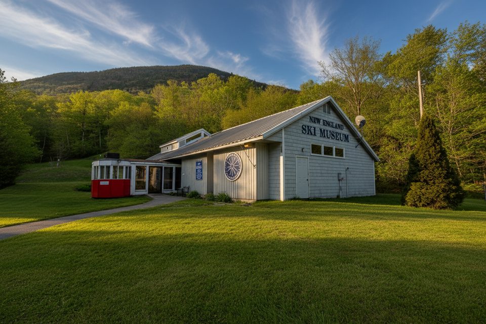
Place · 0.3 mi away
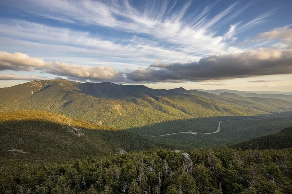
Challenging · 0.3 mi away
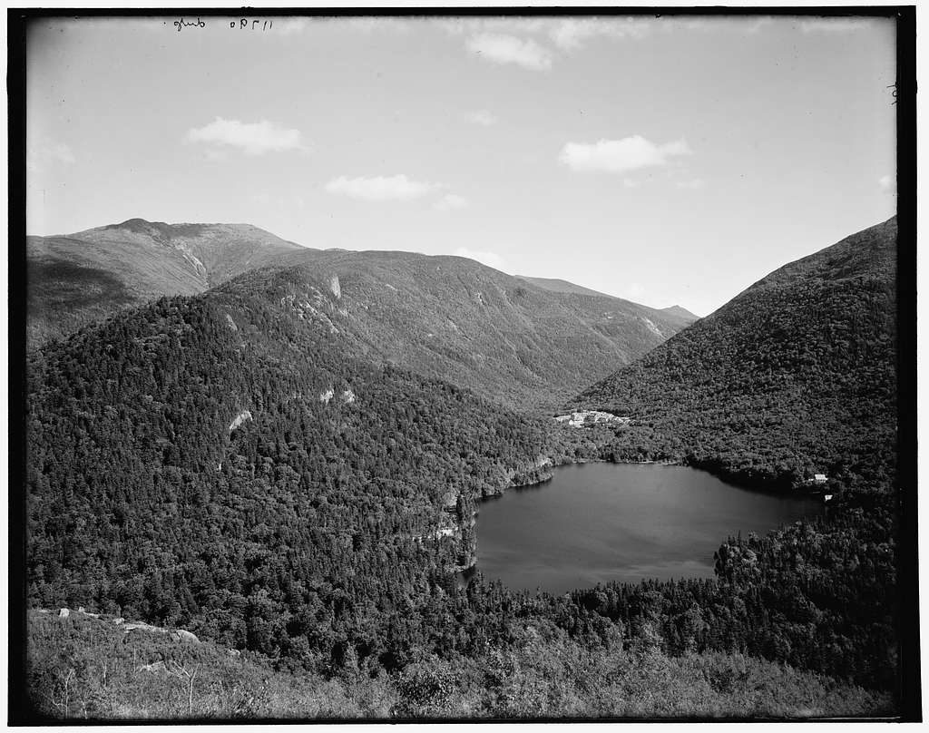
Moderate · 1.1 mi away
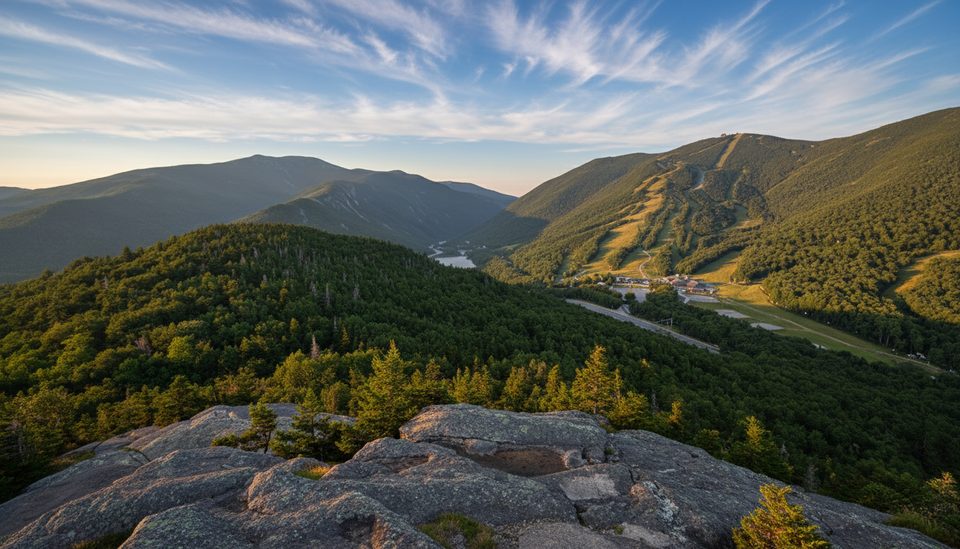
Moderate · 1.1 mi away
Moderate · 1.9 mi away

Parkwolf Tour Guide
