
Place · 0.6 mi away
Challenging
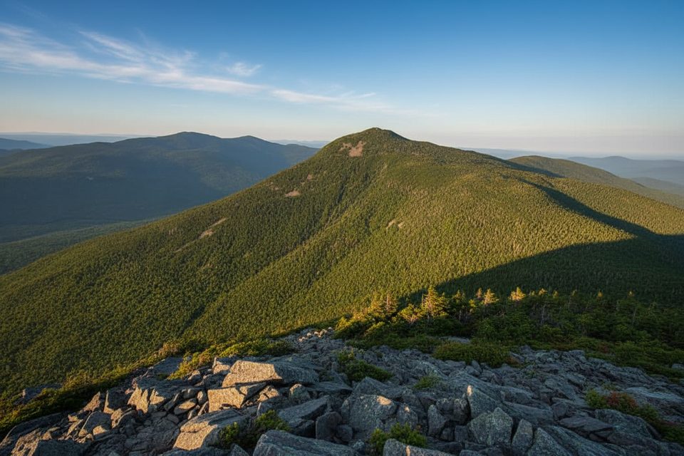
If you like your hikes spicy, the Flume Slide Trail delivers. It’s a rugged climb that finishes with slick granite slabs and ledges before popping you onto Franconia Ridge for big views from Mount Flume and, if you keep going, Mount Liberty. Plan on a loop of about 8.9 miles total by ascending the Flume Slide and descending Liberty Springs. Save this one for dry weather; the slide stays damp and treacherous long after rain.
Park at the Flume Visitor Center. Take the Whitehouse Trail (~0.7 mi) to the bike path, cross the bridge, then follow Liberty Springs Trail for ~0.6 mi to the signed junction with Flume Slide. Climb Flume Slide (~3.3 mi) to the Franconia Ridge Trail just below Mount Flume; it’s only about 0.1 mi more to tag Flume’s summit. For a fuller day, continue 1.2 mi along the ridge to Mount Liberty, then descend 0.3 mi to the Liberty Springs junction and drop ~3.2 mi back toward the Whitehouse Trail and the lot. That loop is the consensus safest way to do this hike.
This is very strenuous. The upper 0.7 mi gains roughly 1,400 feet and feels near‑vertical in spots. Expect smooth, wet rock slabs, loose gravel, and ledges; water often trickles down the slide even in fair weather. There are faint side paths in the woods that bypass the spiciest ledges—use them if conditions sketch you out. Stow trekking poles for the scramble, keep three points of contact, and give other parties space to avoid rockfall.
Pick a dry, clear, low‑wind day. Avoid the slide after rain or in any icy/snowy conditions; this is not a good shoulder‑season or winter objective. Start early to give yourself daylight margin—fit hikers typically need 6–9 hours for the loop in dry conditions.
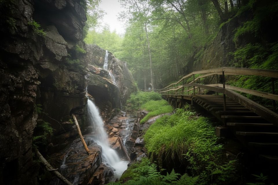
Don’t confuse this rugged backcountry hike with the Flume Gorge boardwalk loop near the visitor center—they’re entirely different experiences.
Park at the Flume Visitor Center (or Liberty Springs Trailhead lot). From the Visitor Center, take Whitehouse Trail ~0.7 mi to the bike path, cross the bridge, then Liberty Springs Trail ~0.6 mi to the Flume Slide junction.
Ascend only; do not descend the Flume Slide. Steep, wet granite slabs and loose rock with rockfall risk; avoid after rain and in icy conditions.
Place · 0.6 mi away
Place · 0.6 mi away
Place · 0.6 mi away
Place · 0.9 mi away
Moderate · 0.6 mi away
Moderate · 0.6 mi away
Moderate · 0.8 mi away
Moderate · 1.1 mi away

Parkwolf Tour Guide
