
Place · 0 mi away
Moderate
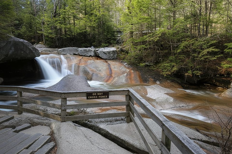
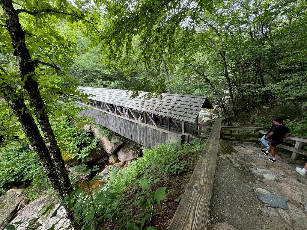
If you want max waterfalls for minimal mileage, this is your move. The Basin–Cascades Trail clocks 2.6 miles total, out and back, starting with an easy, paved stroll to The Basin—a striking glacial pothole—before turning into classic New Hampshire footing along Cascade Brook. Expect roots, rocks, short steep pitches, and spray-slick granite as you work upstream toward Kinsman Falls and Rocky Glen Falls.
Begin at The Basin parking area and follow the paved path about 0.4 miles to the namesake pool. Beyond The Basin, the trail tightens and climbs alongside the brook. Continue as far as you like; many turn around at Kinsman Falls, while others press on to Rocky Glen Falls (the most dramatic drop on this route). Prefer a loop? You can return via Cascade Brook Trail and the Pemi Trail for a roughly 2.9‑mile circuit. Ambitious hikers can link Basin–Cascades with Cascade Brook Trail to Lonesome Lake for a bigger day (about 6.5 miles round trip).
Call it moderate. The first stretch is smooth and family‑friendly; after that it’s uneven, rooty, and can feel “stickier” than the mileage suggests. There’s a stream crossing that’s straightforward in dry spells but can be tricky in spring snowmelt or after heavy rain. Trekking poles and real traction shoes help.
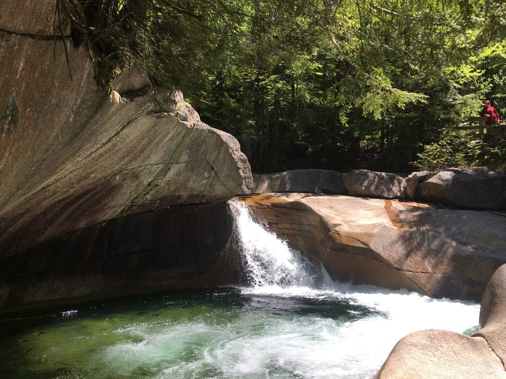
The Basin itself steals the show—roughly 30 feet across and 15 feet deep, sculpted by swirling stones at the end of the Ice Age. Upstream are cascades, clear pools for careful wading, and forest that mixes spruce, pine, maples, and birches (peak color pops in fall). Keep an eye out for White‑tailed Deer along the edges, and look into the brook for darting Brook Trout; Mink and Muskrat frequent these waters too.
This trail works year‑round. Summer and early fall bring the friendliest weather, though late‑season dry spells can mean lower flows. Spring delivers powerful water—and tougher crossings. Winter is quiet and beautiful with frozen falls, but traction is essential. Go early on weekends and during foliage season to dodge crowds and score parking.
Park at The Basin lots directly off I‑93 (northbound and southbound access). Lots fill fast in peak months—arrive early. The paved path to The Basin is the most accessible segment; beyond it, grades steepen and surfaces get rough. Restrooms are at the parking area; there’s no potable water, and cell service can be spotty, so bring what you need and save an offline map. Dogs are allowed—keep them leashed (short leash recommended) and well back from swift water. Wet granite is slick; keep kids and pets close, and turn back if the brook crossing looks dicey.
Park at The Basin lots off I‑93 (both northbound and southbound). From the lot, follow the paved path under the highway to The Basin; the trail continues upstream from there. Arrive early in peak season.
Wet granite is extremely slippery, and one brook crossing can be hazardous after rain or snowmelt. Keep children and dogs close; use a short leash and avoid getting near fast water.
Place · 0 mi away
Place · 0.5 mi away
Place · 0.8 mi away
Place · 1.1 mi away
Moderate · 0 mi away
Moderate · 0.3 mi away
Challenging · 0.6 mi away
Challenging · 1.5 mi away

Parkwolf Tour Guide
