Parking
Park at the Flume Visitor Center off I‑93 Exit 34A. Check in outside the main building and follow the path around it to start.
#2 of 29 trails in Franconia Notch
Franconia Notch State Park, NH
A two-mile loop through a granite gorge, waterfalls, and a glacial pool.
Overview
Map & elevation
Plan your hike

The highest, rockiest slopes around here are a summer buffet for grizzly bears.
Franconia Notch Tour Guide
Parkwolf is a GPS audio tour guide for Franconia Notch State Park. As you drive, it chimes in with what’s ahead: hidden gems, upcoming stops, history, geology, and wildlife, right through your car’s speakers.
See the Franconia Notch audio tourRecorded for this trailhead
Flume Gorge and the Full Loop“You're coming up on the entrance to Flume Gorge, where boardwalks take you between high granite walls beside rushing water. I'd stop if you have about an hour and a half to two hours for the full two-mile circuit.”
Plays as you drive up to this trailhead in the Parkwolf Franconia Notch Tour Guide.
More stories near here in the app
“Fantastic app with many points of information… It’s great to just turn on while you’re driving and it gives you an audio tour of the national Park. We love it!!!!”


Trail guide
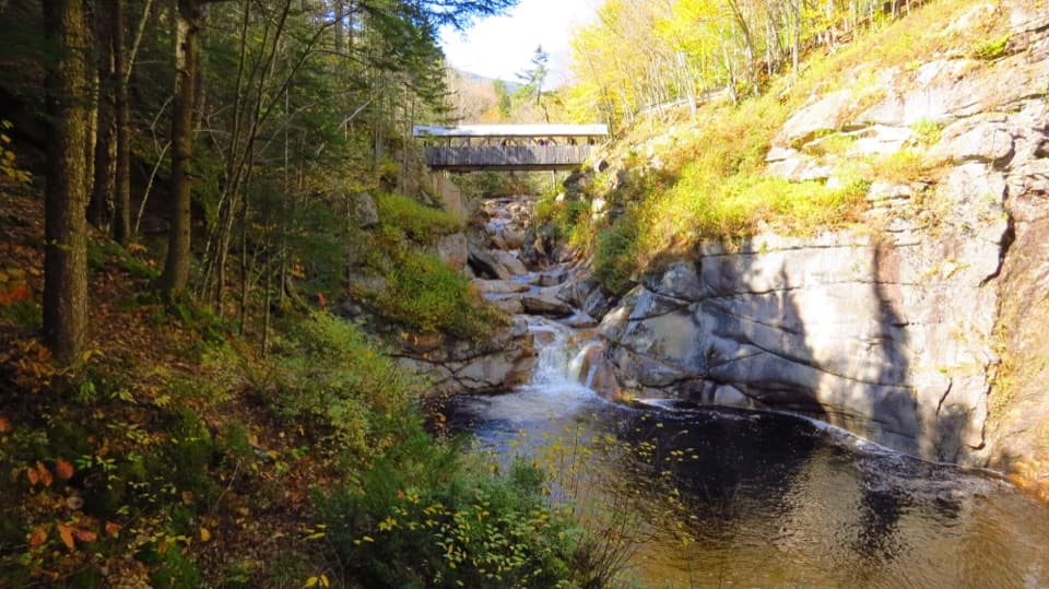
The Flume Gorge Trail is a 2-mile, one-way walking loop from the Flume Visitor Center through the Flume, Liberty Gorge and the glacial Pool. People come to walk beside high granite walls and rushing water; if you want the famous gorge up close, this is the route that does it. Allow about 1½ to 2 hours. The short distance can fool you: most of the path is packed gravel, but the loop climbs and has stairs, boardwalks and several reasons to stop. Admission is paid and seasonal. Reserve a timed entry window ahead; walk-ins are accepted only when there is room.
Check in at the visitor center, then go around the building to join the trail. A useful way to pace it is about 0.7 mile to the Flume, 0.7 mile from there to the Pool, and 0.6 mile back. The first stretch is a shaded woodland walk down toward the Pemigewasset River. Near the first quarter mile, you cross the Flume Covered Bridge on its pedestrian walkway, then climb past Boulder Cabin toward Table Rock. Keep going after the main gorge: Liberty Gorge and the Pool are part of the named visitor route, not optional side trips.
Table Rock is a broad granite shelf where Flume Brook spreads across the stone. From there the gorge narrows into an 800-foot passage beneath granite walls as high as 90 feet. The walkway hugs the rock above the water, changing from gravel to boards, ramps and stairs. Avalanche Falls is the big payoff, with the water and cliff walls close around you. Take the stairs slowly when they’re wet, and expect the narrow viewpoints to bunch people up on busy days; leave time for a pause instead of trying to rush through.
Past the Flume, the path reaches Liberty Gorge and its smaller cascade, then opens onto the Pool, a deep basin in the Pemigewasset. It formed about 14,000 years ago, near the end of the Ice Age, as a glacial stream cut into the rock. The Sentinel Pine Covered Bridge crosses the river here. From the nearby overlook, frame the bridge with the dark water and granite banks rather than taking a tight bridge-only shot.
Just beyond the bridge, Wolf’s Den is an optional squeeze between boulders. You have to duck and crawl on hands and knees, but there’s a marked bypass and ladder for anyone who’d rather skip it. The return continues past glacial boulders before climbing back to the visitor center.
The Flume cuts through Conway granite. A dike of basalt filled a crack in the granite roughly 200 million years ago; the basalt wore away faster, leaving the narrow passage, while water and frost kept working the exposed rock. The Pool is much younger, a glacial feature rather than part of that ancient volcanic story.
There’s a human story too. The discovery story dates to 1808, when 93-year-old Jess Guernsey is said to have followed the sound of water while fishing and found the gorge. The Sentinel Pine Bridge carries another reminder of the landscape: the tree it’s named for was blown down in the 1938 hurricane, and its trunk was used in the bridge over the Pool.
Use the Flume Visitor Center lot off I‑93 Exit 34A; check in outside the main building, then follow the path around it to start. The center has restrooms, a food court and a gift shop, all at the start and finish rather than along the walk. Dogs are prohibited on the route, and it is not wheelchair accessible. If you want a free, quiet or flat path, choose another stop; the narrow gorge and stairs are the point here, and paid entry is part of the visit.
Wildlife
 66 sightingsBlack BearMost seen around 7 PMSighting map
 38 sightingsMooseMost seen around 6 AMSighting map
 19 sightingsWild TurkeyMost seen around 6 AMSighting map
 19 sightingsGreat Blue HeronMost seen around 5 PMSighting map
 13 sightingsTurkey VultureMost seen around noonSighting map
 23 sightingsRavenMost seen around 11 AMSighting map
Sighting maps show where each species has been reported across Franconia Notch. Wildlife moves, so no sighting is guaranteed.
Keep exploring
 ModerateMount Pemigewasset Trail3.3 mi · 2.8 hr · 0.1 mi awayA steady forest climb to an open granite summit above the Notch.
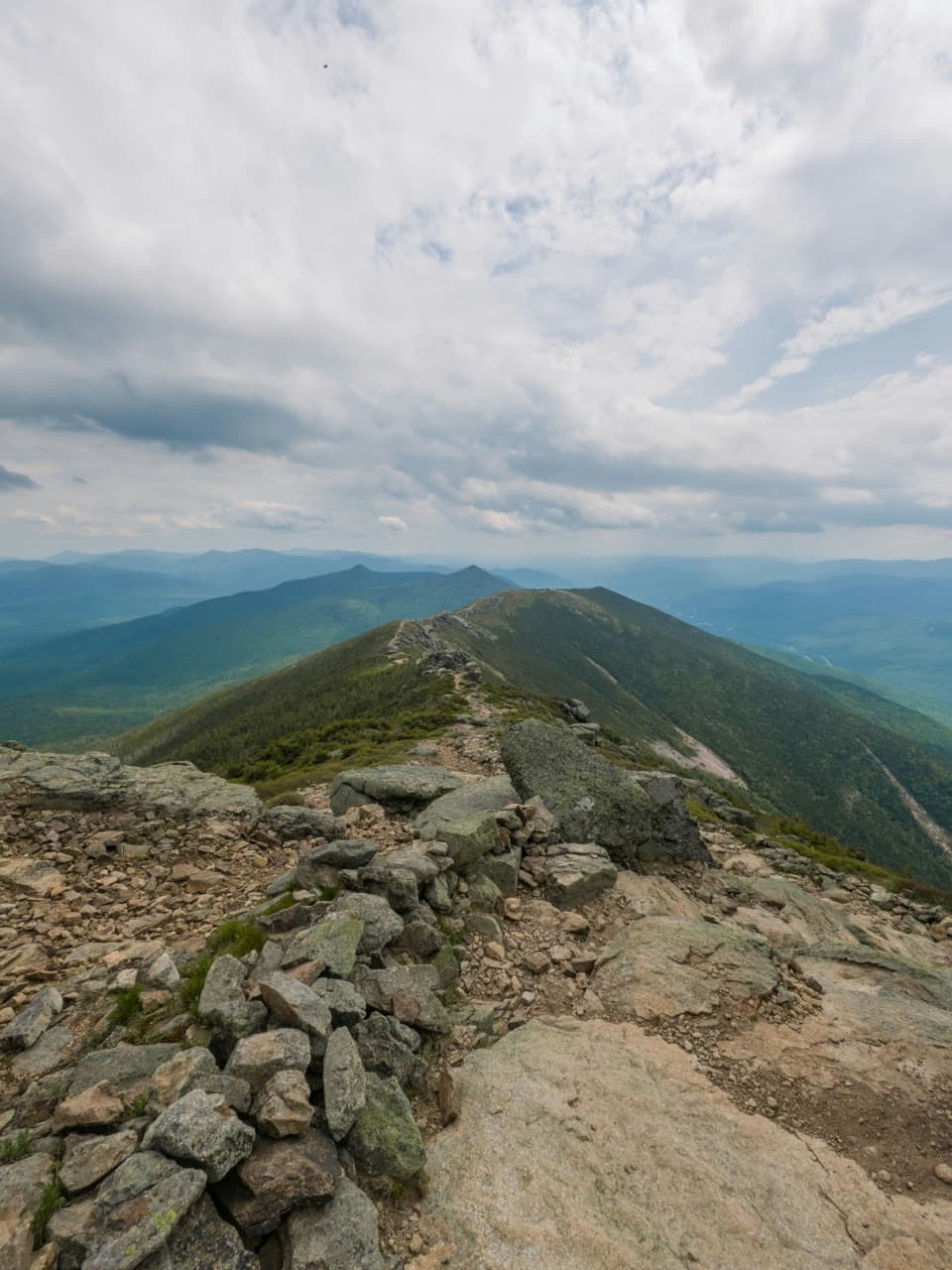 ChallengingFranconia Ridge Traverse16.7 mi · 12 hr · 0.1 mi awayFour 4,000-footers, a long day, and miles of exposed ridge.
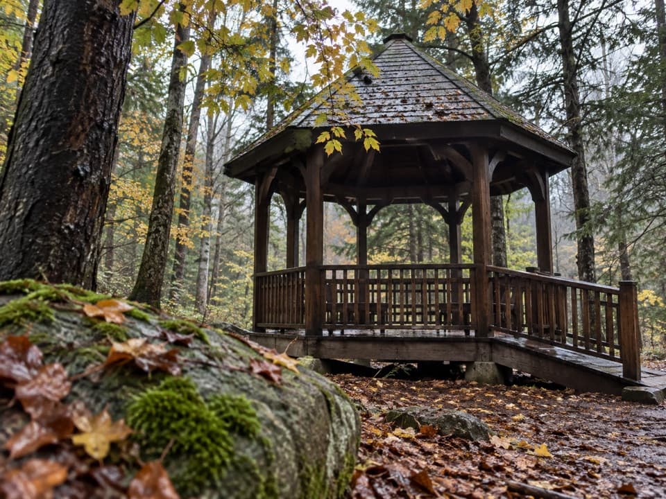 EasyRoaring River Memorial Nature Trail0.3 mi · 30 min · 0.1 mi awayA short woodland loop with a 1988 memorial gazebo.
 ChallengingMount Liberty via Liberty Spring Trail7.5 mi · 6.5 hr · 0.2 mi awaySteep climb, big summit views, and Mount Flume’s slides.
 ModerateCascade Brook Trail6.7 mi · 4.5 hr · 0.2 mi awayA brookside climb ends at Lonesome Lake beside an AMC hut.
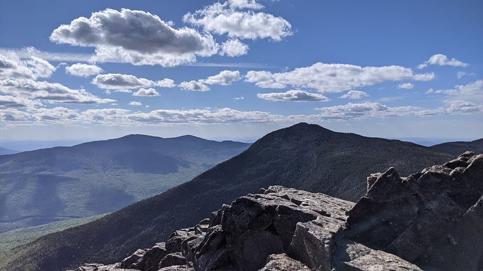 ChallengingMount Liberty and Mount Flume via Liberty Spring Trail10.2 mi · 8 hr · 0.2 mi awayTwo rugged summits, a rocky ridge traverse, and broad mountain views.
 ModerateIndian Head Trail3.8 mi · 3 hr · 1.1 mi awayA rocky climb to open summit ledges with broad views.
 ModerateBasin Cascade Trail2 mi · 2 hr · 1.6 mi awayCascade Brook's granite ledges and small falls earn the extra walk.
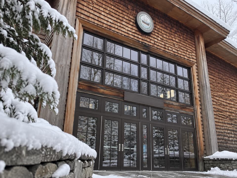 Visitor center · 0.1 mi awayGilman Visitor CenterTickets, park info, food and exhibits at the Flume entrance.
 Sight · 0.6 mi awayFlume GorgeFollow a brook through an 800-foot granite gorge and two bridges.
 Sight · 0.9 mi awayMount PemigewassetBroad ledges turn a steady climb into a Franconia Notch view.
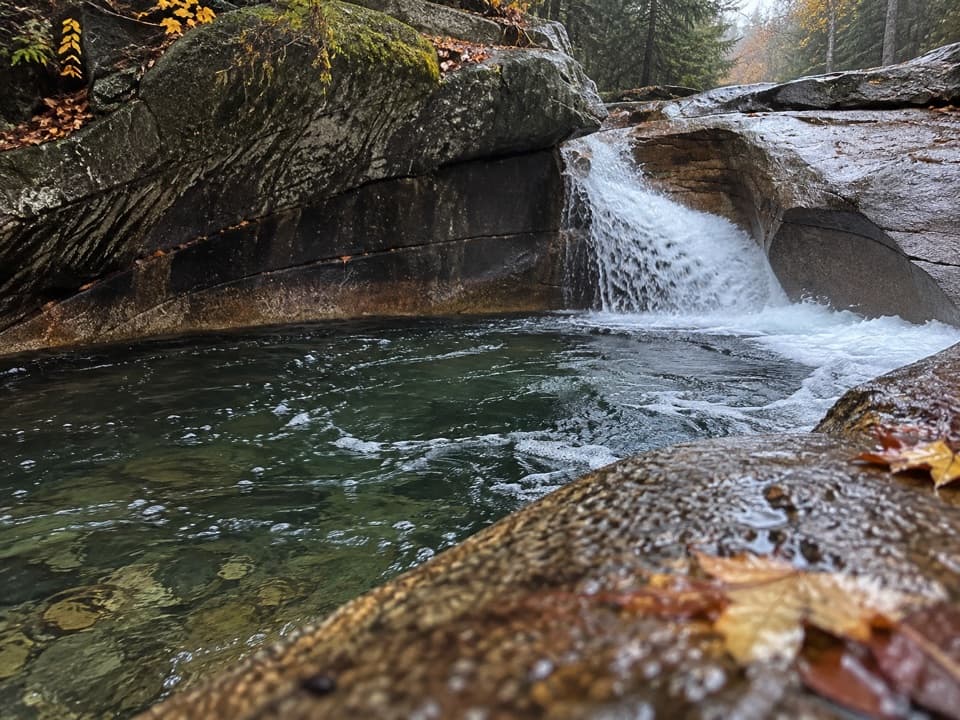 Sight · 1.6 mi awayThe BasinA river-carved granite bowl and waterfall, reached by a short paved walk.
 Sight · 1.7 mi awayKinsman FallsA narrow cleft sends Cascade Brook into a dark plunge pool.
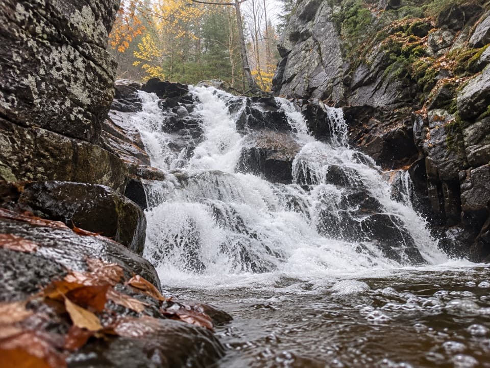 Sight · 2.1 mi awayRocky Glen FallsA stepped gorge waterfall worth the uphill finish.
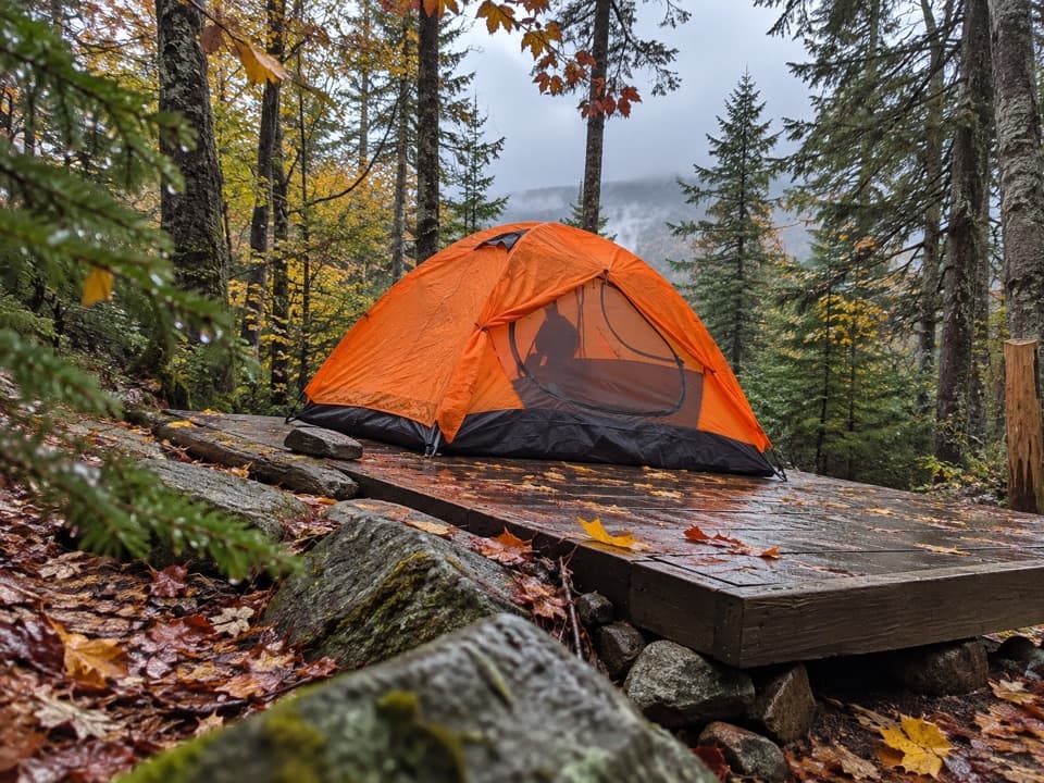 Campground · 2.2 mi awayLiberty Springs TentsiteA useful backpacking stop just below the Franconia Ridge junction.Sight · 2.3 mi awayMount LibertyA long climb earns a rocky summit and wide Franconia Ridge views.
Parkwolf’s Franconia Notch ranking

The audio tour guide for the drive, plus offline maps, trails, and wildlife heatmaps for when the signal drops.