Friendly Beaches in Freycinet National Park

#5 of 17 sights in Freycinet

Beach · Freycinet National Park

Friendly Beaches

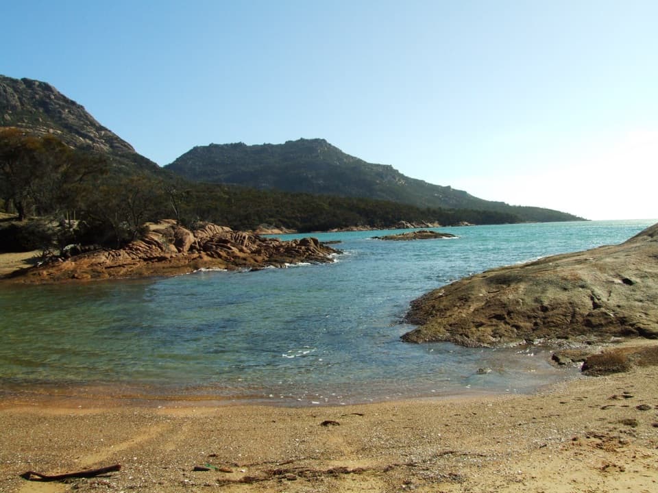
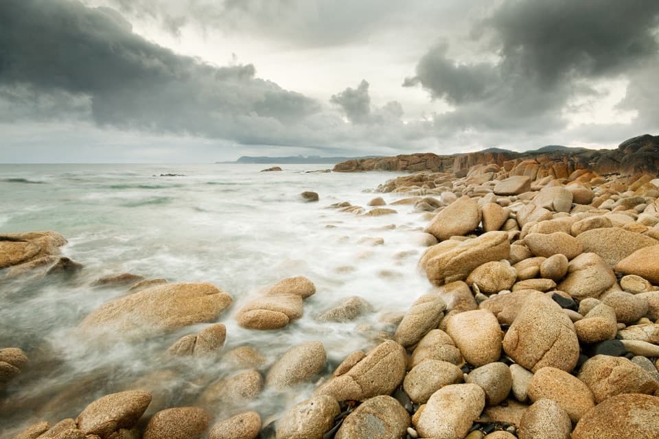
A long beach, rocky tide pools and a broad southward view.

Photo: Wikimedia Commons
Type
Beach
Nearest trail
Right here
Audio stories
4 nearby
  • Parking
  • Scenic viewpoint
  • Restrooms

Hear the audio tour

Friendly Beaches

Overview

About Friendly Beaches

Why stop

  • A quick lookout or several kilometres of open-shore walking.

Heads up

  • Exposed surf, with no sheltered swimming area.

Map

Where it is

Loading the Freycinet map
Full map
BeachFriendly Beaches-41.99269, 148.28572
Keep this map with you offline in the Parkwolf app

Plan your stop

Before you go

Getting there and what’s at Isaacs Point

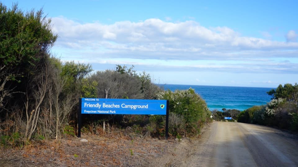
Follow the signed Friendly Beaches turn-off from Coles Bay Road to the northern access. The access road was improved for two-wheel-drive vehicles in 2025. The nearby Isaacs Point campground is a separate stop, with first-come, first-served sites for up to 14 nights, pit toilets and no fresh water. Two toilet blocks and the viewing platform were rebuilt as part of the 2025 restoration. Bring drinking water if you’re camping; a Tasmanian Parks Pass is required for the national park.

2 active Freycinet alerts

  • CautionShark sighting at Issacs Point, Friendly BeachesMentions this placeSwimmers should avoid Issacs Point at Friendly Beaches after a 2–3 m shark was reported cruising very close to shore. Check current Tasmania Police community alerts for updates.Official details
  • CautionSeasonal campfire ban starts 26 OctoberDo not light campfires on reserved land in Freycinet National Park once the seasonal ban takes effect at 2:00 am on Monday 26 October 2026.Official details
Freycinet alerts
A park ranger sits on a dash-mounted phone, talking, as Parkwolf’s Tour Guide plays “Army Cutworm Moths: A Grizzly Bear Buffet” on Grand Loop Road below Dunraven Pass in Yellowstone
Parkwolf Tour GuideThe highest, rockiest slopes around here are a summer buffet for grizzly bears.

Freycinet Tour Guide

Your drive to Friendly Beaches, narrated.

Parkwolf is a GPS audio tour guide for Freycinet National Park. As you drive, it chimes in with what’s ahead: hidden gems, upcoming stops, history, geology, and wildlife, right through your car’s speakers.

Recorded for this place

Friendly Beaches
0:00 / 0:29
“Friendly Beaches is ahead, a long stretch of pale sand broken by rocky outcrops and tide pools. I'd stop for a shoreline walk rather than a swim: this is exposed, unpatrolled coast, and the surf can be powerful.”

Plays as you drive up to Friendly Beaches in the Parkwolf Freycinet Tour Guide.

More stories near here in the app

  • The Little Wallaby at the Forest Edge
  • Two Brothers and a Map
  • Crystals from Beneath the Surface
  • A Plover Chick’s First Job
  • 24 audio storiesacross Freycinet’s roads, triggered by GPS as you drive
  • Wildlife heatmapsfor Wombat, Echidna, Red-necked Wallaby, and 13 more
  • Works offlinemaps, 21 trails, 29 places, and audio download before you lose signal
  • CarPlay readysimple controls built for the drive
★★★★★
“Fantastic app with many points of information… It’s great to just turn on while you’re driving and it gives you an audio tour of the national Park. We love it!!!!”
JMJamesApp Store review
Download Parkwolf on the App StoreGet Parkwolf on Google Play

4.7 from 8,600+ ratings

Guide

More about Friendly Beaches

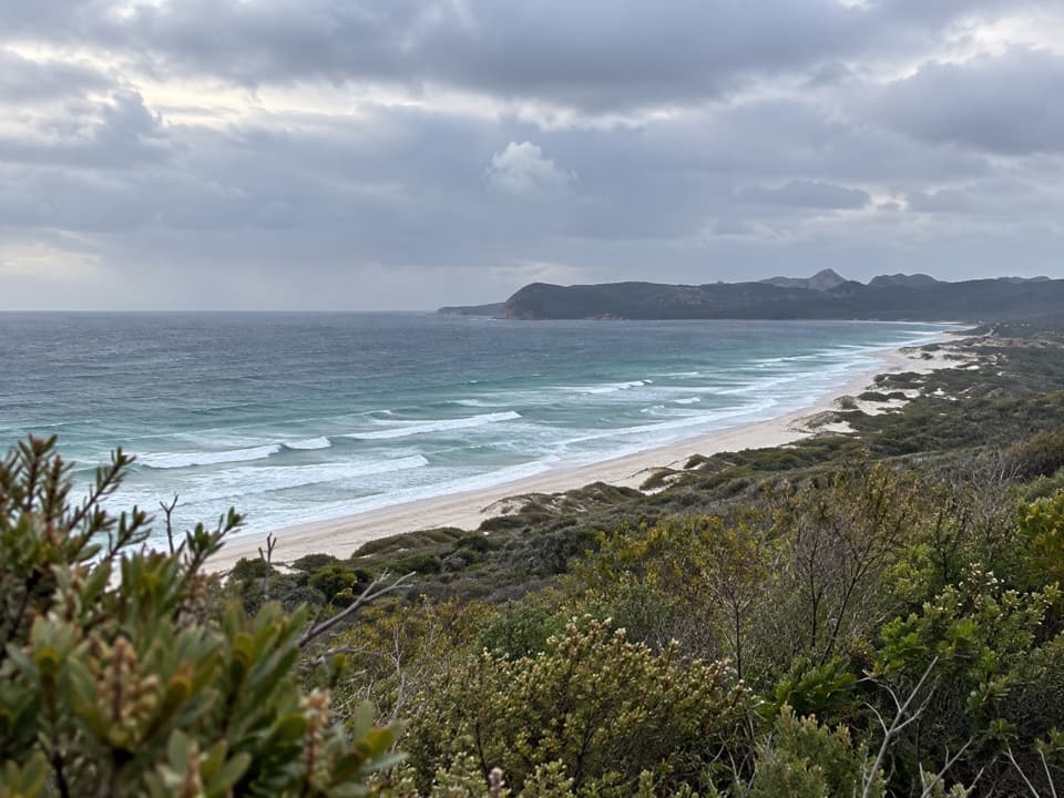
Start at the north endFriendly Beaches is a long, pale-sand ocean beach on Freycinet Peninsula’s east coast.

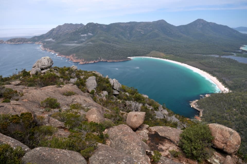
Friendly Beaches is a long, pale-sand ocean beach on Freycinet Peninsula’s east coast. From the northern car park, a short, level boardwalk reaches a bench lookout facing south toward the Hazards; steps continue down to the sand. It works as a quick viewpoint stop, but the beach itself is the reason to stay. I’d give it time for a proper shoreline walk rather than a glance from the platform.

A lot of coast to wanderThe undeveloped shore runs about 7.

The undeveloped shore runs about 7.8 kilometres south toward Friendly Point and Freshwater Lagoon. From the north end you can look down the pale strand toward the Hazards, with Cape Tourville Lighthouse visible farther along the coast. Walk as far as the day suits and turn back; you don’t need to cover the full length to get a feel for the place.

Surf, rock pools and shorebirdsThis is an exposed, unpatrolled ocean beach, and the surf can be powerful.

This is an exposed, unpatrolled ocean beach, and the surf can be powerful. Swimming is mentioned as an activity here, but don’t count on sheltered water; judge conditions on the day. Rocky outcrops and tide pools break up the sand. From October through March, stay close to the waterline to avoid shorebird nesting areas. Pied oystercatchers, hooded plovers, red-capped plovers, fairy terns and little terns nest along this shore.

Wildlife

Wildlife in Freycinet

All Freycinet wildlife maps

Sighting maps show where each species has been reported across Freycinet. Wildlife moves, so no sighting is guaranteed.

Parkwolf’s Freycinet ranking

Top sights in Freycinet

All 29 places
  1. 1Wineglass Bay LookoutSight
  2. 2Wineglass BayBeach
  3. 3Cape Tourville Lighthouse and LookoutSight
  4. 4Honeymoon BayBeach
  5. 6Mount AmosSight
  6. 7Hazards BeachBeach

Take Parkwolf to Freycinet.

The audio tour guide for the drive, plus offline maps, trails, and wildlife heatmaps for when the signal drops.

4.7 from 8,600+ ratings

Download Parkwolf on the App StoreGet Parkwolf on Google Play