Pros & cons
PROS
- Hundreds of inuksuit caribou drivelines in a pristine setting
- Extensive tent rings and cache pits that vividly tell human history
CONS
- Fly-in, trail-less terrain with no facilities or services
- Fragile archaeological features require extra care and restraint
Overview
Agiak Lake Archaeological District is one of the park’s most compelling cultural landscapes: a remote basin where stone architecture still sketches out ancient caribou hunts. This is not a developed attraction—no roads, no signs, no trails—just an arresting, intact record of how people thrived here for millennia.
What You'll See
- Inuksuit (stone cairns) aligned in long drivelines across ridges and slopes, built to funnel caribou toward hunters.
- Stone tent rings and cache pits at the lake’s margins—circles of rocks that anchored skin tents and storage areas.
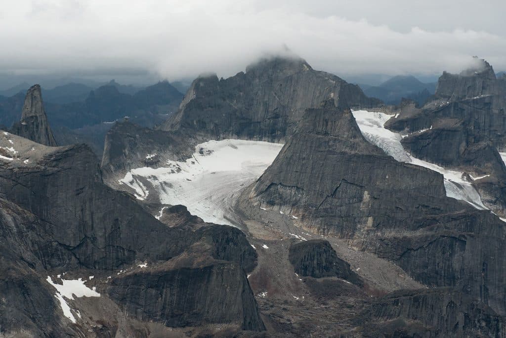
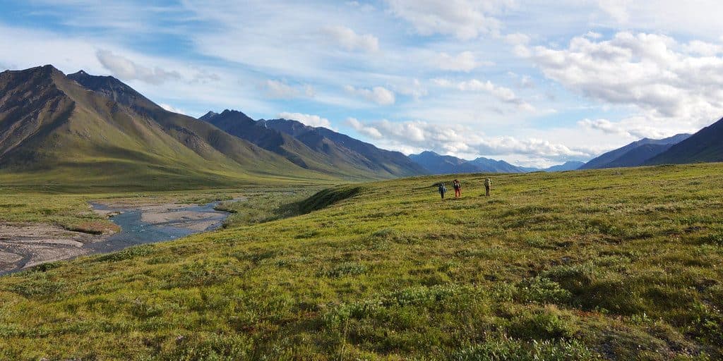
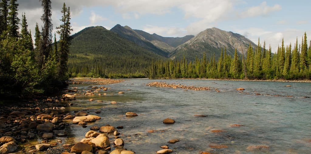
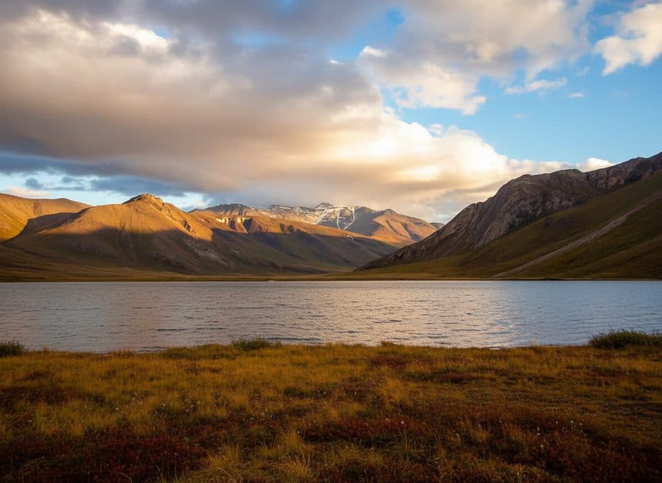
- A stark Brooks Range setting of rolling foothills, clear creeks, summer wildflowers, and patches of aufeis, with the lake perched on the Continental Divide.
Why It Matters
Agiak Lake offers a rare, landscape-scale picture of life and hunting strategy in Arctic Alaska. Tent-ring complexes sit in relationship to the cairn drivelines, blinds, and lookouts—exactly the kind of spatial pattern archaeologists use to read ancient land use. Obsidian tools found here point to far-reaching connections, with sources well over 200 km away.
Wildlife Context
Caribou are the star—historically, these drivelines were built for them. You may also encounter birds, small mammals, and possibly bears typical of the Brooks Range, but this place is first and foremost about understanding caribou and people across the landscape.
Getting There and What to Expect
Plan on a bush plane or a serious backcountry approach. There are no roads, no trailheads, and no amenities of any kind. Guided expeditions are common and make the difference here—not only for safety and logistics, but also for interpreting what you’re seeing among the stones.
Best Time to Visit
Aim for the short summer window when fly-ins and foot travel are feasible, but be ready for anything—weather can flip from sun to snow even then. Crowds aren’t a factor; solitude is the default. Early and late daylight can be beautiful for photography across the ridges and cairn lines.

Stewardship
Treat every rock feature as an irreplaceable cultural artifact. Do not move stones, dig, or collect. The scientific value lies in the exact placement of each feature across the landscape.
Where it is
68.0743, -152.9490Tips for Agiak Lake Archaeological District
- 01Hire an experienced guide or outfitter—access, safety, and interpretation all benefit.
- 02Pack for rapid weather swings; conditions can change quickly even in summer.
- 03Bring bug nets and repellent—mosquitoes can be intense in the warm season.
- 04Carry maps, GPS, and compass; there are no trails or signs.
- 05Practice strict Leave No Trace—never move stones or disturb features.
Near Agiak Lake Archaeological District
All places →All trails →
31.6 mi awayAnaktuvuk Pass Ranger StationSmall summer hub for trip intel in a living Nunamiut villageRanger Station
31.7 mi awayAnaktuvuk Pass CommunityRemote Nunamiut village and fly-in gateway amid Brooks Range peaksRanger Station · Store
48 mi awayKurupa LakeFly-in wilderness lake and gateway to Brooks Range solitude
53.4 mi awayWild LakeRemote floatplane lake ringed by Brooks Range peaks and solitude
Arrigetch Peaks Mountaineering RouteRemote off-trail trek to Alaska’s fiercest granite spiresChallenging · 27.7 mi · 72 hr