Boreal Mountain

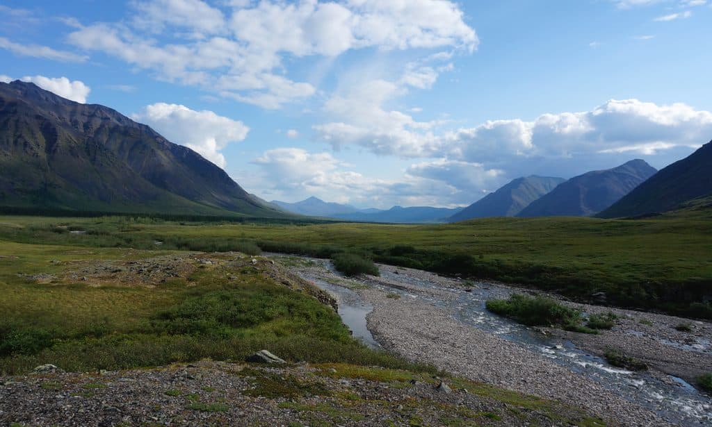
Half of the park’s namesake gateway, above the Koyukuk River
Boreal Mountain, Gates of the Arctic National Park
InsideGates of the Arctic National Park

Overview

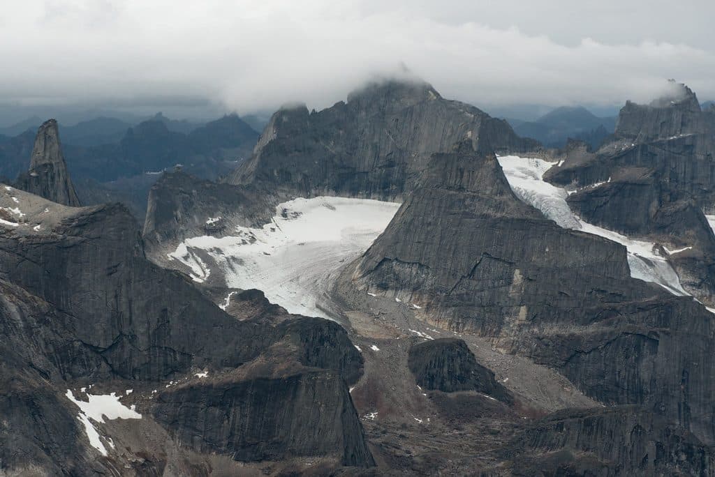
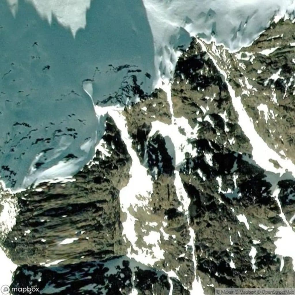
Boreal Mountain, paired with Frigid Crags, forms the dramatic "Gates" that inspired the park’s name. Rising to around 1,800 meters (about 5,900 feet), it towers above the North Fork of the Koyukuk River and anchors one of Alaska’s most photogenic river portals in the Brooks Range wilderness.

Why it’s special

Few individual summits define an entire park. Robert Marshall coined the “gates” description after traveling through this very passage, and that story helped propel the area toward protection decades later. Stand anywhere near the North Fork and you’ll feel the natural gateway effect—steep, rocky walls, sweeping tundra, and big, unbroken country.

What you’ll see

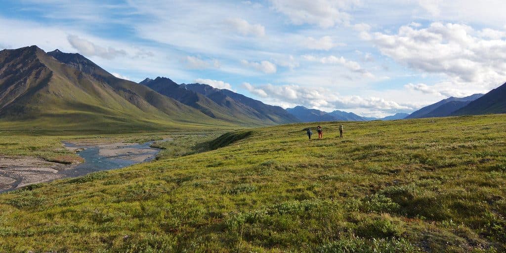
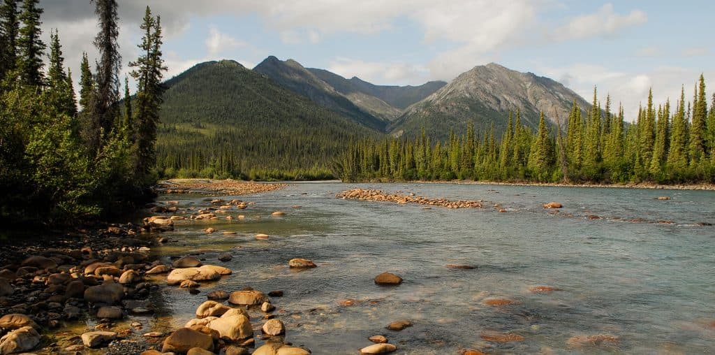
Expect a classic Arctic scene: rugged ridges, rocky alpine slopes, and the braided Koyukuk carving between Boreal Mountain and Frigid Crags. Summer reveals tundra wildflowers and expansive views across the Brooks Range; in clear light, the “gates” silhouette is striking from river level and the surrounding high ground.

Access and reality check

This is deep wilderness: no roads, no marked trails, no signage. Most visitors approach the area by bush plane to regional hubs (commonly Bettles) and then continue on foot or by raft. Navigation skills matter. You bring everything you need—and your backup plan. Consult park rangers before you go; they’re your best pre-trip resource for current conditions and logistics.

Wildlife

The broader area supports caribou, bears (grizzly and black), Dall sheep, wolves, arctic fox, and raptors like golden eagles and gyrfalcons, plus ptarmigan. Sightings are never guaranteed, but you should plan and store food as if wildlife is nearby at all times.

History & geology

Robert Marshall’s 1930s explorations popularized the passage between Boreal Mountain and Frigid Crags as the symbolic entry to the Arctic. The landscape reflects the Brooks Range’s tectonic and glacial past; peaks in the region include limestone and granite, with permafrost, tundra, and broad, braided river valleys defining the terrain.

Best time to visit

Summer offers the most workable window: long days, active wildlife, and generally friendlier travel on foot or by river. Sunrises and sunsets can paint the “gates” beautifully, and crowds are essentially nonexistent year-round. Expect a long, dominant winter and plan conservatively around weather and river conditions.


Is it worth it?

If you crave raw, unstructured wilderness and big Arctic scenery, yes—this is the namesake scene of the park. If you’re looking for easy access, signage, or a casual hike, it’s not the right target.

Pros

  • Iconic half of the park’s namesake “Gates” with dramatic views
  • True wilderness solitude and superb photography potential

Cons

  • No roads, trails, or facilities; complex logistics to reach
  • Harsh, fast-changing weather can shut down plans

Tips

  • Plan on bush plane access and self-navigation; there are no trails or signs.
  • Talk with park rangers in Bettles for route advice and current conditions.
  • Carry bear spray, use hard-sided canisters, and practice strict food storage.
  • Bring a satellite communicator; there’s no cell service in the area.
  • Verify land status and park vs. preserve boundaries along your route.
The Parkwolf tour guide sitting on a phone mounted in a car

Parkwolf Tour Guide

Like a tour guide in your car.

Save the places you found around Gates of the Arctic, then let Parkwolf guide the drive between them.Download Parkwolf on the App Store