Pros & cons
PROS
- Mind‑blowing Brooks Range scenery with sweeping, open views
- Comparatively easier tundra walking by Alaska backcountry standards
- Deep solitude with very few other visitors
CONS
- Fly‑in logistics and cost; no road access
- No facilities or infrastructure of any kind
Overview
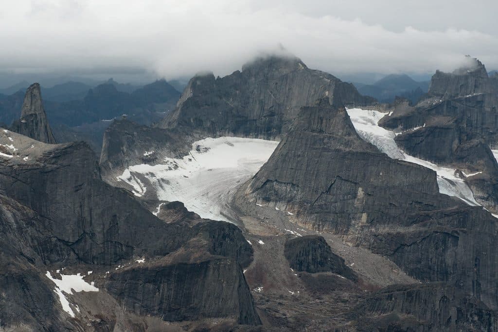
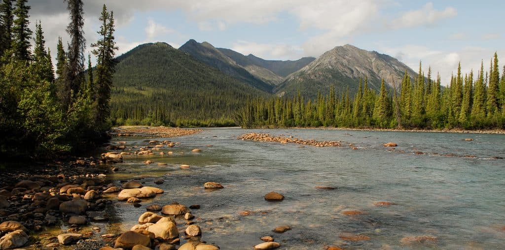
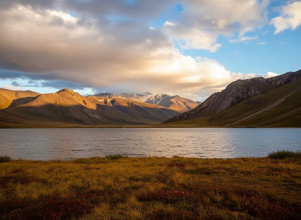
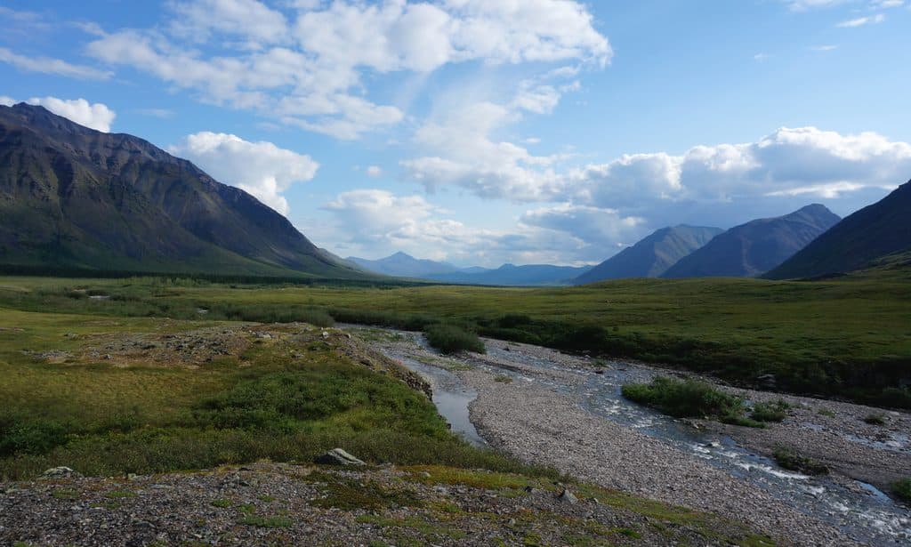
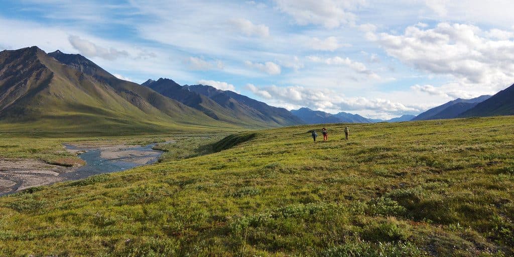
Oolah Valley is classic Brooks Range country: a broad, tundra‑floored valley ringed by rugged peaks, clear creeks, and huge skies. It’s the kind of wild that feels infinite—no signs, no trails, no crowds—just quiet and big views in every direction.
Access and How People Do It
There are no roads here. Most trips either charter a bush/float plane (commonly staged out of Coldfoot) or weave Oolah into a multi‑day traverse tied to Anaktuvuk Pass. Expect true off‑trail travel—navigating by map, compass, and GPS—and dispersed camping in meadows.
What Makes It Special
Guides single out Oolah for its sweeping vistas and for walking that’s “about as easy as it gets” in Alaska’s backcountry—think firm tundra benches instead of endless tussocks. In midsummer, reindeer lichen can light up the slopes with a golden sheen under the sun.
What You’ll See
- Landscapes: glacially carved valleys, alpine tundra, clear creeks, and big mountain amphitheaters.
- Notable nearby features: Oolah Pass and headwaters feeding the Koyukuk system show up on many traverses.
Wildlife
This is prime wilderness. Sightings are never guaranteed, but travelers report the broader area holding caribou, grizzly bears, wolves, Dall sheep, and raptors like golden eagles—keep your distance and your food systems tight.
Practical Realities
There’s zero infrastructure—no trailheads, restrooms, or campgrounds. You’ll be self‑sufficient for everything (navigation, shelter, food, water treatment, and waste). River crossings, bugs (in summer), and sudden storms are very real factors. No entry fees or permits are required, but leave a detailed trip plan with someone at home.
Best Time to Visit
Mid‑July often delivers long light, photogenic lichen glow, and mostly snow‑free passes. Expect mosquitoes in peak summer. Shoulder seasons can bring cold snaps and tougher crossings; plan accordingly. Day of week doesn’t matter—you’re unlikely to see anyone either way.

Who It’s For
Experienced backpackers and guided groups who want a fly‑in, off‑trail traverse with enormous views and solitude. If you need marked trails or amenities, pick another objective.
Where it is
68.1417, -150.2833Tips for Oolah Valley
- 01Plan fly‑in logistics or an Anaktuvuk Pass loop well in advance.
- 02Carry map, compass, and GPS—there are no trails or signs.
- 03Pack serious bug protection for midsummer and expect river crossings.
- 04If routing via Anaktuvuk Pass, respect surrounding private lands.
- 05File a detailed trip plan and carry bear spray and robust food storage.
Near Oolah Valley
All places →All trails →
18.6 mi awayMount DoonerakRemote Brooks Range peak, the Matterhorn of the Koyukuk
25.2 mi awayBoreal MountainHalf of the park’s namesake gateway, above the Koyukuk River
37.3 mi awayAnaktuvuk Pass CommunityRemote Nunamiut village and fly-in gateway amid Brooks Range peaksRanger Station · Store
37.4 mi awayAnaktuvuk Pass Ranger StationSmall summer hub for trip intel in a living Nunamiut villageRanger Station
Arrigetch Peaks Mountaineering RouteRemote off-trail trek to Alaska’s fiercest granite spiresChallenging · 27.7 mi · 72 hr